
Photo: Luiz Coda · Public domain · Wikimedia Commons
Macacu RiverReport this photo · linked, not stored
Macacu RiverReport this photo · linked, not stored
RiverMagé, Rio de Janeiro
Macacu River
River3 m elevationBest Jun–Aug
Elevation3 mabove sea level
Area–surface
Nearest townMagé8.2 km
22.73° S, 43.03° WElevation 3 mUTC−3 · Brasilia Standard Time
When to goMagé · weather score
Best timeJun–Aug
October: high / low28° / 20°
River
Macacu River in brief
Macacu River is a river in Magé, Rio de Janeiro, Brazil.
It lies at 3 m above sea level.
The nearest town in the atlas is Magé, 8.2 km to the N, where the weather is best in June, July and August.
Weather nearby now
Forecast for Magé24°
Rain now
Today
22 Oct
25°
20°
1 mm
Fri
23 Oct
25°
19°
13 mm
Sat
24 Oct
32°
20°
16 mm
Sun
25 Oct
29°
23°
18 mm
Mon
26 Oct
24°
20°
8 mm
Model run 00:00 UTCRefreshed several times a day
The course of the river
As mapped in OpenStreetMap, with the towns of the atlas along its banks.sourcemouth (or where the mapped line leaves the country)
Map
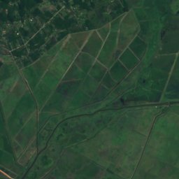
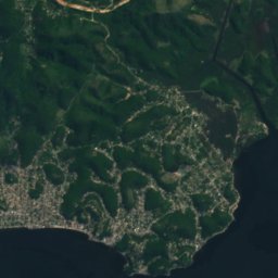
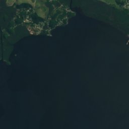
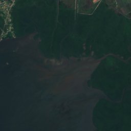
Macacu River from above
Nature nearbyAll of Brazil
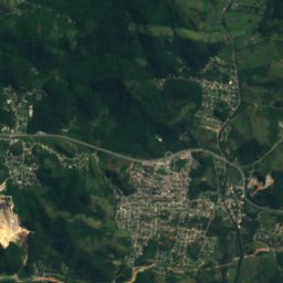
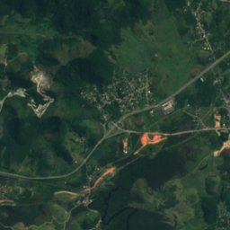
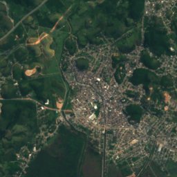
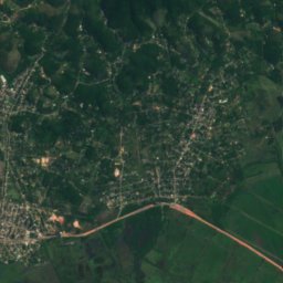
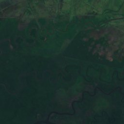
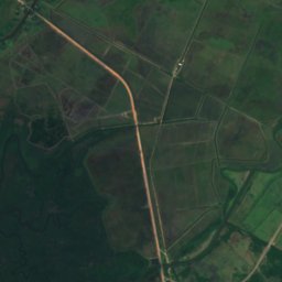
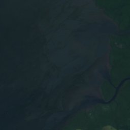
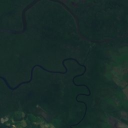
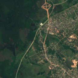
Satellite: Sentinel-2 cloudless 2016 by EOX IT Services GmbH · CC BY 4.0 · Contains modified Copernicus Sentinel data 2016
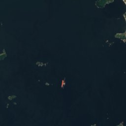
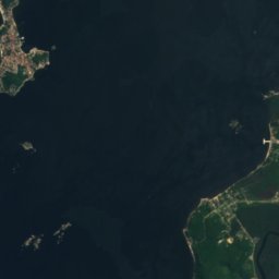
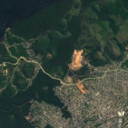
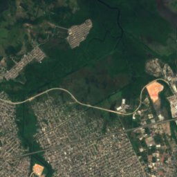
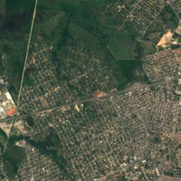
Satellite: Sentinel-2 cloudless 2016 by EOX IT Services GmbH · CC BY 4.0 · Contains modified Copernicus Sentinel data 2016
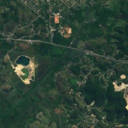
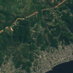
Satellite: Sentinel-2 cloudless 2016 by EOX IT Services GmbH · CC BY 4.0 · Contains modified Copernicus Sentinel data 2016
Satellite: Sentinel-2 cloudless 2016 by EOX IT Services GmbH · CC BY 4.0 · Contains modified Copernicus Sentinel data 2016
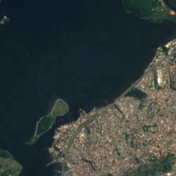
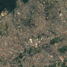
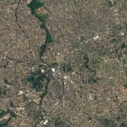
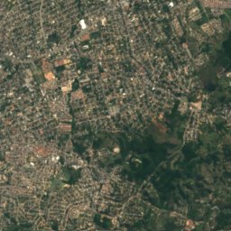
Satellite: Sentinel-2 cloudless 2016 by EOX IT Services GmbH · CC BY 4.0 · Contains modified Copernicus Sentinel data 2016
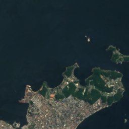
Satellite: Sentinel-2 cloudless 2016 by EOX IT Services GmbH · CC BY 4.0 · Contains modified Copernicus Sentinel data 2016
Stay nearby
Towns close by
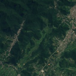
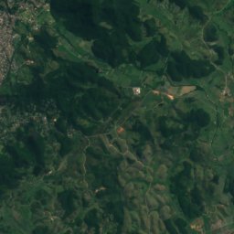
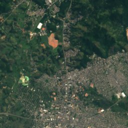
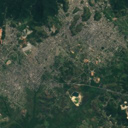
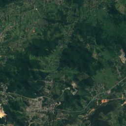
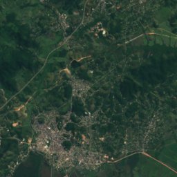
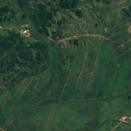
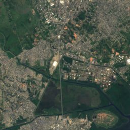
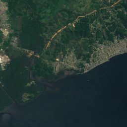
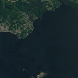
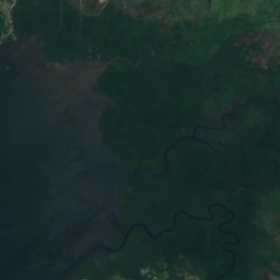
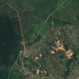
Satellite: Sentinel-2 cloudless 2016 by EOX IT Services GmbH · CC BY 4.0 · Contains modified Copernicus Sentinel data 2016
Magé
Rio de Janeiro · 8.2 km N
28°Oct high
22wet days
49score
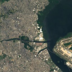
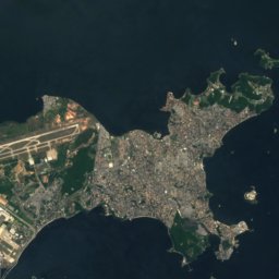
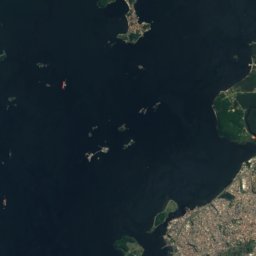
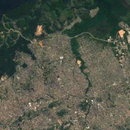
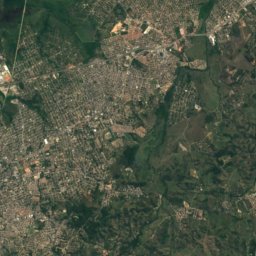
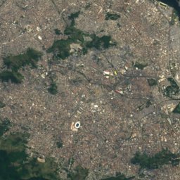
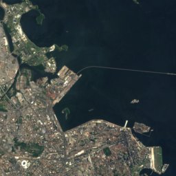
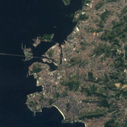
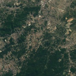
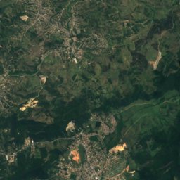
Satellite: Sentinel-2 cloudless 2016 by EOX IT Services GmbH · CC BY 4.0 · Contains modified Copernicus Sentinel data 2016
São Gonçalo
Rio de Janeiro · 12 km S
27°Oct high
22wet days
52score
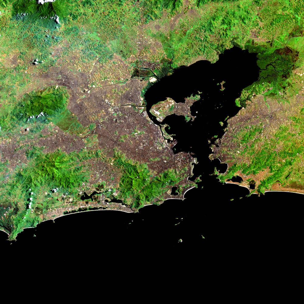

Photo: Halley Pacheco de Oliveira · CC BY-SA 3.0 · Wikimedia CommonsReport this photo · linked, not stored
Niterói
Rio de Janeiro · 19 km SW
27°Oct high
22wet days
53score
Around here
Magé and around
Nature
Satellite: Sentinel-2 cloudless 2016 by EOX IT Services GmbH · CC BY 4.0 · Contains modified Copernicus Sentinel data 2016
Guaxindiba River, Rio de Janeiro
River
Satellite: Sentinel-2 cloudless 2016 by EOX IT Services GmbH · CC BY 4.0 · Contains modified Copernicus Sentinel data 2016
Magé River
River
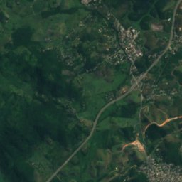
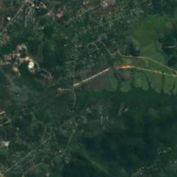
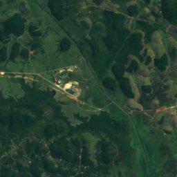
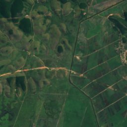
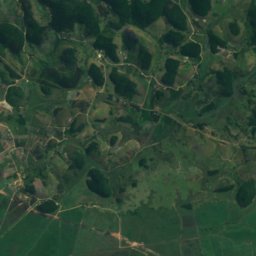
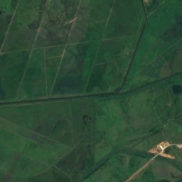
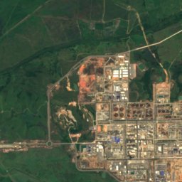
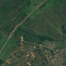
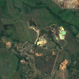
Satellite: Sentinel-2 cloudless 2016 by EOX IT Services GmbH · CC BY 4.0 · Contains modified Copernicus Sentinel data 2016
Soberbo River
River
Mountains

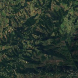
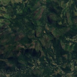
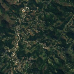
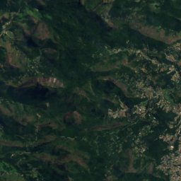
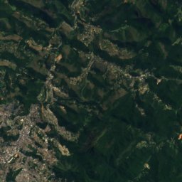
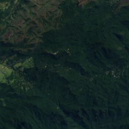
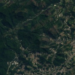
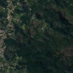
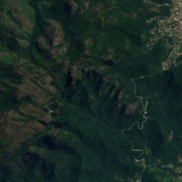
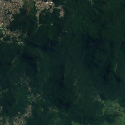
Satellite: Sentinel-2 cloudless 2016 by EOX IT Services GmbH · CC BY 4.0 · Contains modified Copernicus Sentinel data 2016
Pedra do Açu
2,236 m · Serra do Mar

Heritage

Guia de Pacobaiba train station
heritage asset listed by IPHAN










Satellite: Sentinel-2 cloudless 2016 by EOX IT Services GmbH · CC BY 4.0 · Contains modified Copernicus Sentinel data 2016
Ilha de Brocoió
INEPAC Good Class
Museums




Satellite: Sentinel-2 cloudless 2016 by EOX IT Services GmbH · CC BY 4.0 · Contains modified Copernicus Sentinel data 2016
Museu Cultural do Rádio
1999