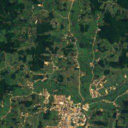
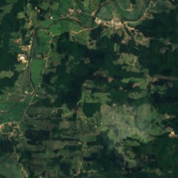
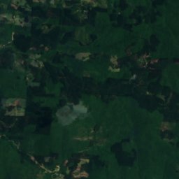
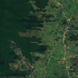
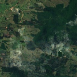
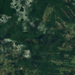
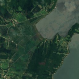
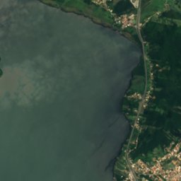
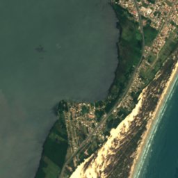


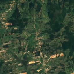
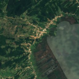


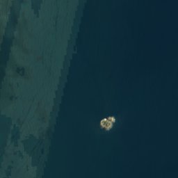

Satellite: Sentinel-2 cloudless 2016 by EOX IT Services GmbH · CC BY 4.0 · Contains modified Copernicus Sentinel data 2016
LakeLaguna, Santa Catarina
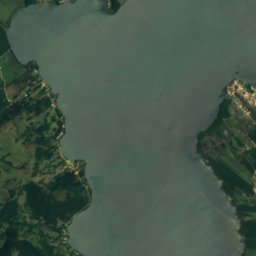
Lagoa do Imaruí
Lake12 m elevationBest May · Jul–Aug
Elevation12 mabove sea level
Area–surface
Nearest townLaguna13 km
28.38° S, 48.84° WElevation 12 mUTC−3 · Brasilia Standard Time
When to goLaguna · weather score
Best timeMay · Jul–Aug
October: high / low21° / 18°
Lake
Lagoa do Imaruí in brief
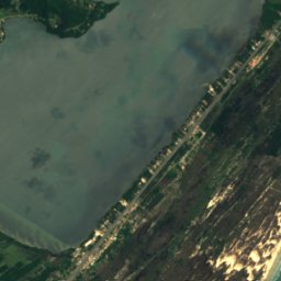
Lagoa do Imaruí is a lake in Laguna, Santa Catarina, Brazil.
It lies at 12 m above sea level.
The nearest town in the atlas is Laguna, 13 km to the SE, where the weather is best in May, July and August.
Weather nearby now
Forecast for Laguna19°
Cloudy now
Today
22 Oct
20°
19°
Fri
23 Oct
20°
19°
Sat
24 Oct
22°
19°
2 mm
Sun
25 Oct
19°
18°
4 mm
Mon
26 Oct
18°
16°
3 mm
Model run 00:00 UTCRefreshed several times a day
When to go
Climate of LagunaThe best months around Lagoa do Imaruí
Month score in Laguna
Comfort, dry days and sunshine · out of 10061
Jan
59
Feb
64
Mar
63
Apr
71
May
67
Jun
75
Jul
70
Aug
60
Sep
60
Oct
62
Nov
63
Dec
Map
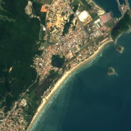
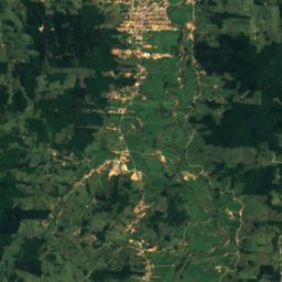
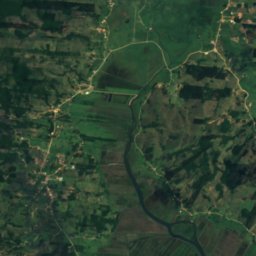
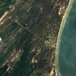
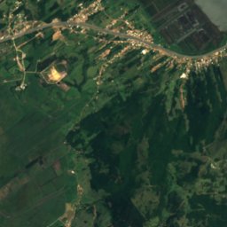
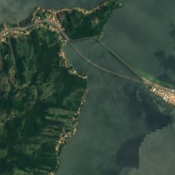
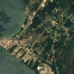
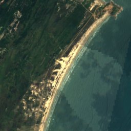
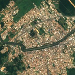
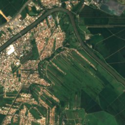
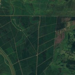
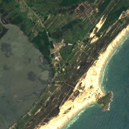
Lagoa do Imaruí from above
Nature nearbyAll of Brazil
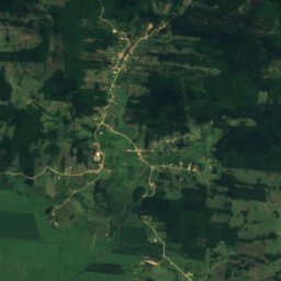
Satellite: Sentinel-2 cloudless 2016 by EOX IT Services GmbH · CC BY 4.0 · Contains modified Copernicus Sentinel data 2016


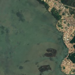
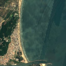



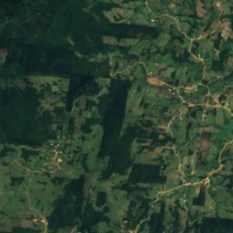
Satellite: Sentinel-2 cloudless 2016 by EOX IT Services GmbH · CC BY 4.0 · Contains modified Copernicus Sentinel data 2016
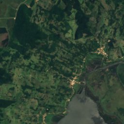
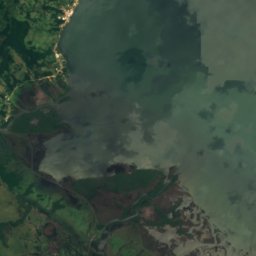
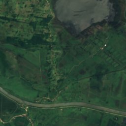
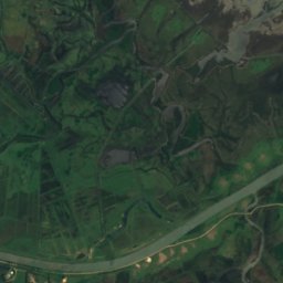
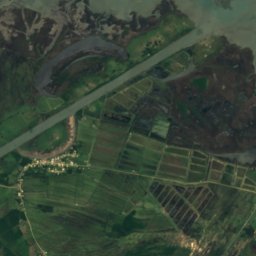
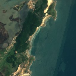

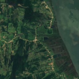
Satellite: Sentinel-2 cloudless 2016 by EOX IT Services GmbH · CC BY 4.0 · Contains modified Copernicus Sentinel data 2016
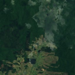
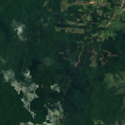
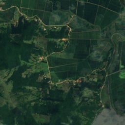
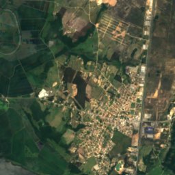
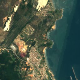
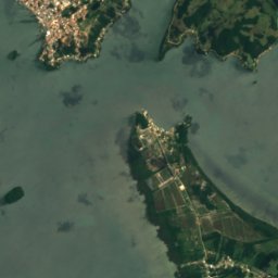
Satellite: Sentinel-2 cloudless 2016 by EOX IT Services GmbH · CC BY 4.0 · Contains modified Copernicus Sentinel data 2016
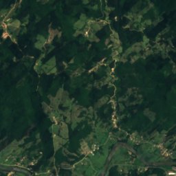
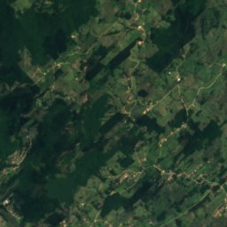
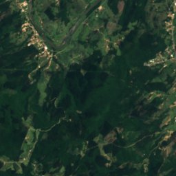
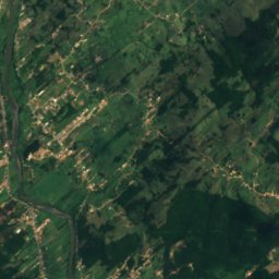
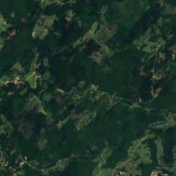
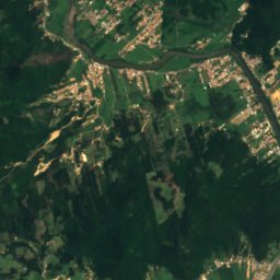
Satellite: Sentinel-2 cloudless 2016 by EOX IT Services GmbH · CC BY 4.0 · Contains modified Copernicus Sentinel data 2016





Satellite: Sentinel-2 cloudless 2016 by EOX IT Services GmbH · CC BY 4.0 · Contains modified Copernicus Sentinel data 2016
Around here
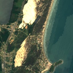
Laguna and around

Nature
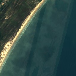
Satellite: Sentinel-2 cloudless 2016 by EOX IT Services GmbH · CC BY 4.0 · Contains modified Copernicus Sentinel data 2016
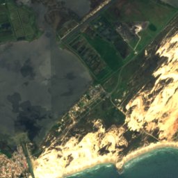
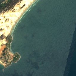
Tubarão River
River
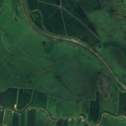
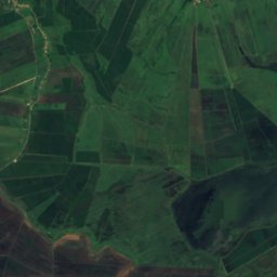
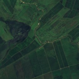
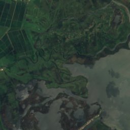

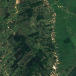
Satellite: Sentinel-2 cloudless 2016 by EOX IT Services GmbH · CC BY 4.0 · Contains modified Copernicus Sentinel data 2016
Lagoa Santa Marta
Lake
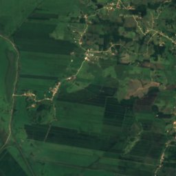
Satellite: Sentinel-2 cloudless 2016 by EOX IT Services GmbH · CC BY 4.0 · Contains modified Copernicus Sentinel data 2016
Capivari River, Santa Catarina
River
Heritage








Satellite: Sentinel-2 cloudless 2016 by EOX IT Services GmbH · CC BY 4.0 · Contains modified Copernicus Sentinel data 2016
Museum Anita Garibaldi
Heritage of Portuguese Influence · 1956

Photo: Dieter Heiss from Brasil, Brasil · CC BY-SA 2.0 · Wikimedia CommonsReport this photo · linked, not stored
Santa Marta Lighthouse
asset of historic and or cultural interest · 1891


