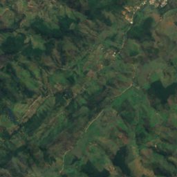
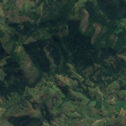
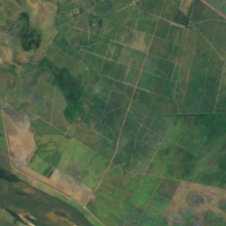
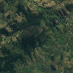
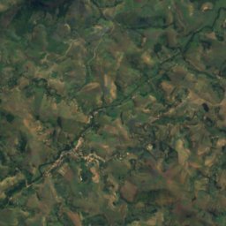
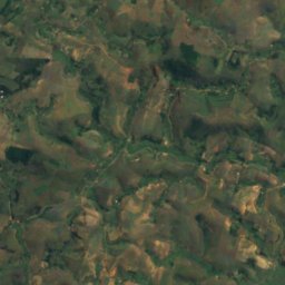
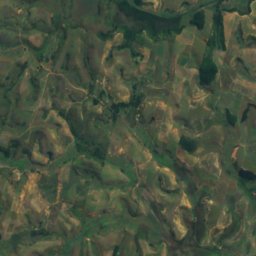
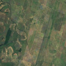
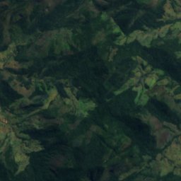
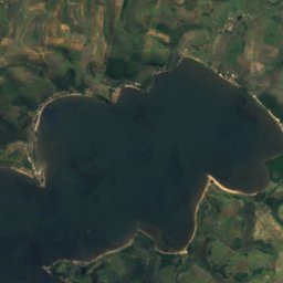
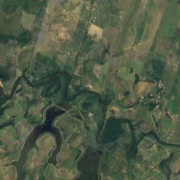
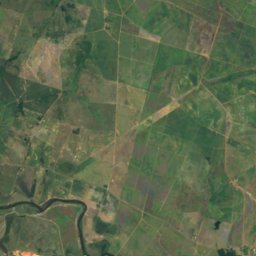
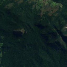
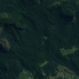
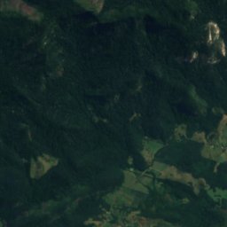
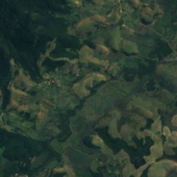
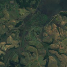
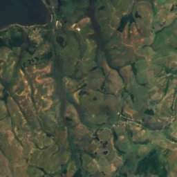
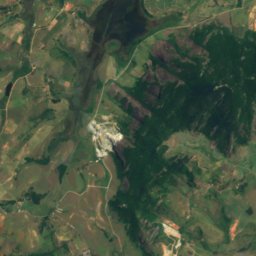
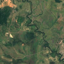
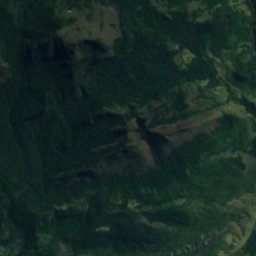
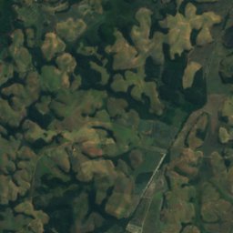
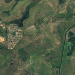
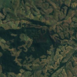
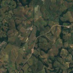
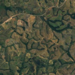
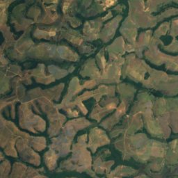
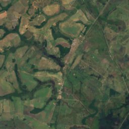
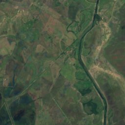
Satellite: Sentinel-2 cloudless 2016 by EOX IT Services GmbH · CC BY 4.0 · Contains modified Copernicus Sentinel data 2016

Photo: Carlospimenteltinoco · Public domain · Wikimedia Commons
Muriaé RiverReport this photo · linked, not stored
Muriaé RiverMuriaé RiverReport this photo · linked, not stored
RiverCampos dos Goytacazes, Rio de Janeiro
Imbé River
RiverBest Jun–Aug
Elevation–above sea level
Area–surface
Nearest townCampos dos Goytacazes24 km
21.80° S, 41.56° WUTC−3 · Brasilia Standard Time
When to goCampos dos Goytacazes · weather score
Best timeJun–Aug
October: high / low28° / 20°
River
Imbé River in brief
Imbé River is a river in Campos dos Goytacazes, Rio de Janeiro, Brazil.
The nearest town in the atlas is Campos dos Goytacazes, 24 km to the E, where the weather is best in June, July and August.
Weather nearby now
Forecast for Campos dos Goytacazes22°
Rain now
Today
22 Oct
23°
21°
6 mm
Fri
23 Oct
27°
21°
8 mm
Sat
24 Oct
33°
22°
5 mm
Sun
25 Oct
32°
24°
8 mm
Mon
26 Oct
29°
22°
5 mm
Model run 00:00 UTCRefreshed several times a day
The course of the river
As mapped in OpenStreetMap, with the towns of the atlas along its banks.sourcemouth (or where the mapped line leaves the country)
Map
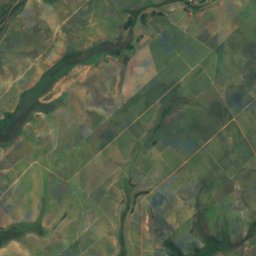
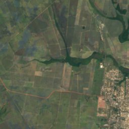
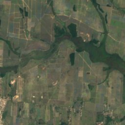
Imbé River from above
Nature nearbyAll of Brazil
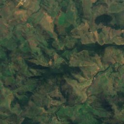
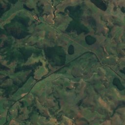
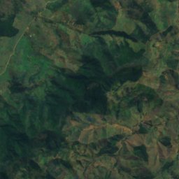
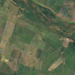
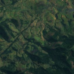
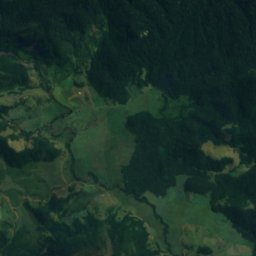
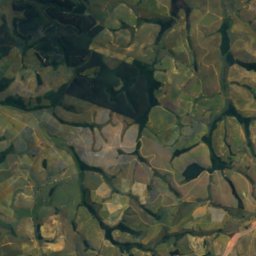
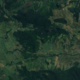
Satellite: Sentinel-2 cloudless 2016 by EOX IT Services GmbH · CC BY 4.0 · Contains modified Copernicus Sentinel data 2016
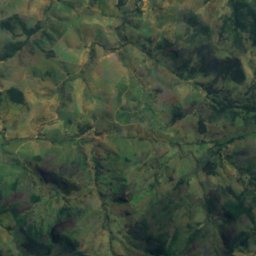
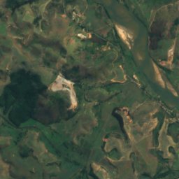
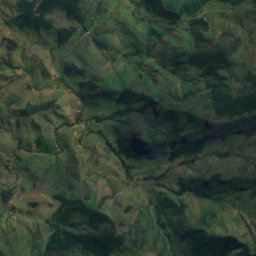
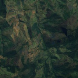
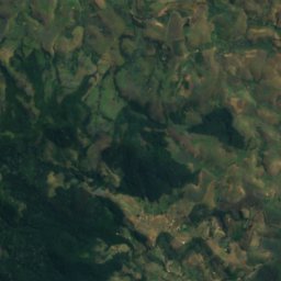
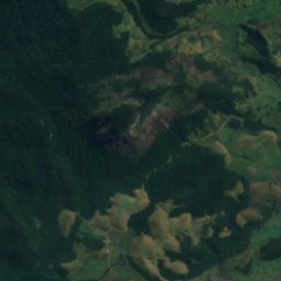
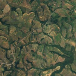
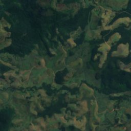
Satellite: Sentinel-2 cloudless 2016 by EOX IT Services GmbH · CC BY 4.0 · Contains modified Copernicus Sentinel data 2016
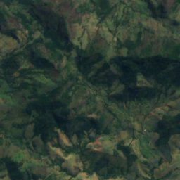
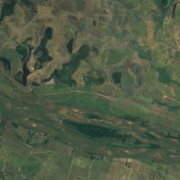
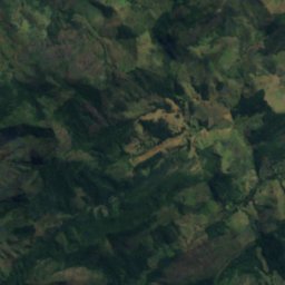
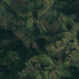
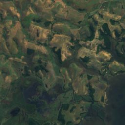
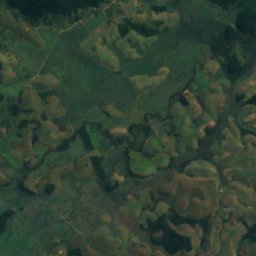
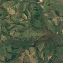
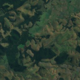
Satellite: Sentinel-2 cloudless 2016 by EOX IT Services GmbH · CC BY 4.0 · Contains modified Copernicus Sentinel data 2016
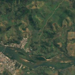
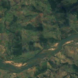
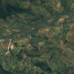
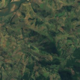
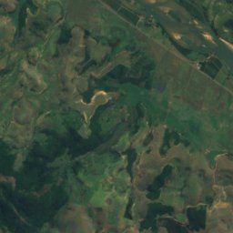
Satellite: Sentinel-2 cloudless 2016 by EOX IT Services GmbH · CC BY 4.0 · Contains modified Copernicus Sentinel data 2016
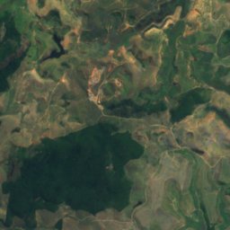
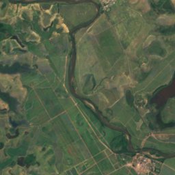
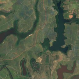
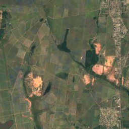
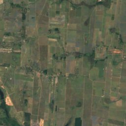
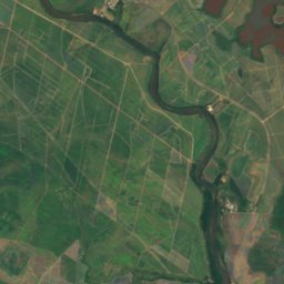
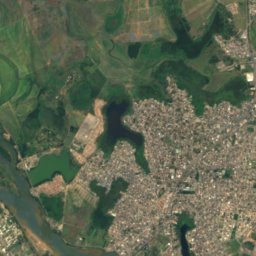
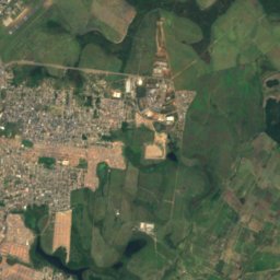
Satellite: Sentinel-2 cloudless 2016 by EOX IT Services GmbH · CC BY 4.0 · Contains modified Copernicus Sentinel data 2016

Photo: Carlospimenteltinoco · Public domain · Wikimedia CommonsReport this photo · linked, not stored
Around here
Campos dos Goytacazes and around

Campos dos Goytacazes
Rio de Janeiro · Brazil
Jun–Augbest months
26°July high
13 maltitude
Nature
Photo: Carlospimenteltinoco · Public domain · Wikimedia CommonsReport this photo · linked, not stored
Muriaé River
River
Satellite: Sentinel-2 cloudless 2016 by EOX IT Services GmbH · CC BY 4.0 · Contains modified Copernicus Sentinel data 2016
Lagoa Limpa, Rio de Janeiro
Lake · 6 m
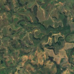
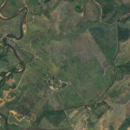
Satellite: Sentinel-2 cloudless 2016 by EOX IT Services GmbH · CC BY 4.0 · Contains modified Copernicus Sentinel data 2016
Lagoa das Pedras, Rio de Janeiro
Lake · 13 m
Heritage
Satellite: Sentinel-2 cloudless 2016 by EOX IT Services GmbH · CC BY 4.0 · Contains modified Copernicus Sentinel data 2016
Liceu de Humanidades de Campos
INEPAC Good Class

Satellite: Sentinel-2 cloudless 2016 by EOX IT Services GmbH · CC BY 4.0 · Contains modified Copernicus Sentinel data 2016
Solar do Visconde de São Lourenço
INEPAC Good Class
Museums


Satellite: Sentinel-2 cloudless 2016 by EOX IT Services GmbH · CC BY 4.0 · Contains modified Copernicus Sentinel data 2016
Museu Histórico de Campos dos Goytacazes
2012