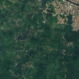
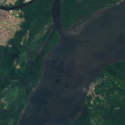
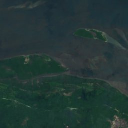
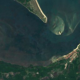
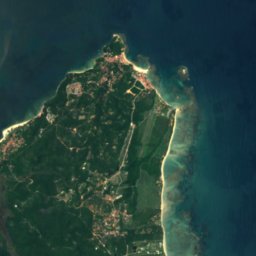
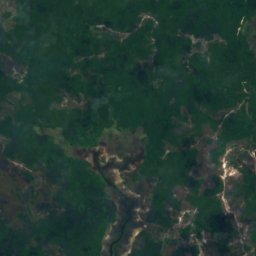
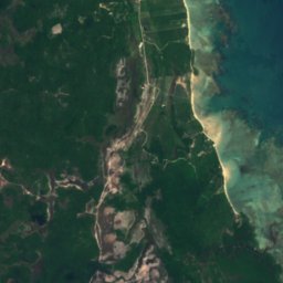
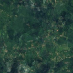
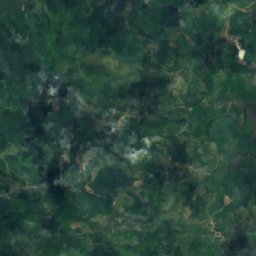
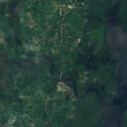
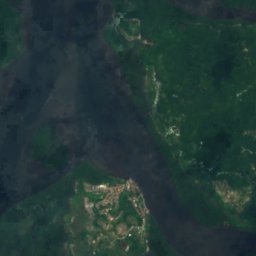
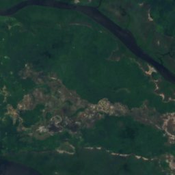
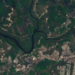
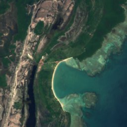
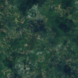
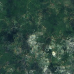
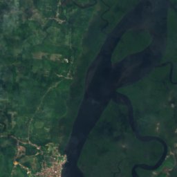
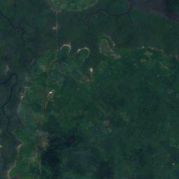
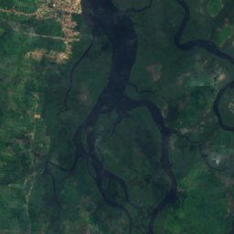
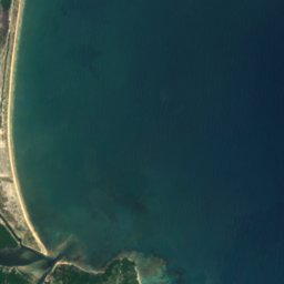
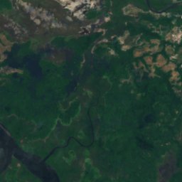
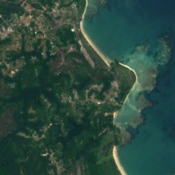
Satellite: Sentinel-2 cloudless 2016 by EOX IT Services GmbH · CC BY 4.0 · Contains modified Copernicus Sentinel data 2016

Photo: Otávio Nogueira from Fortaleza, BR · CC BY 2.0 · Wikimedia Commons
Ilha de CairuReport this photo · linked, not stored
Ilha de CairuIlha de CairuReport this photo · linked, not stored

Photo: Eduardo P · CC BY-SA 3.0 · Wikimedia Commons
Ilha de TinharéReport this photo · linked, not stored
Ilha de TinharéIlha de TinharéReport this photo · linked, not stored
IslandValença, Bahia
Ilha do Vítor
Island6 m elevationBest Jul · Sep–Oct
Elevation6 mabove sea level
Area–surface
Nearest townValença18 km
13.53° S, 39.08° WElevation 6 mUTC−3 · Brasilia Standard Time
When to goValença · weather score
Best timeJul · Sep–Oct
October: high / low27° / 22°
Island
Ilha do Vítor in brief
Ilha do Vítor is an island in Valença, Bahia, Brazil.
It lies at 6 m above sea level.
The nearest town in the atlas is Valença, 18 km to the N, where the weather is best in July, September and October.
Weather nearby now
Forecast for Valença29°
Sunny now
Today
22 Oct
29°
22°
Fri
23 Oct
29°
23°
3 mm
Sat
24 Oct
30°
23°
Sun
25 Oct
33°
22°
Mon
26 Oct
33°
23°
Model run 00:00 UTCRefreshed several times a day
Map
Ilha do Vítor from above
Nature nearbyAll of Brazil
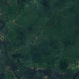
Satellite: Sentinel-2 cloudless 2016 by EOX IT Services GmbH · CC BY 4.0 · Contains modified Copernicus Sentinel data 2016

Photo: Otávio Nogueira from Fortaleza, BR · CC BY 2.0 · Wikimedia CommonsReport this photo · linked, not stored
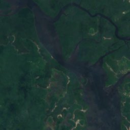
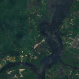
Satellite: Sentinel-2 cloudless 2016 by EOX IT Services GmbH · CC BY 4.0 · Contains modified Copernicus Sentinel data 2016
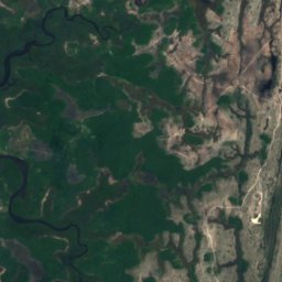
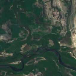
Satellite: Sentinel-2 cloudless 2016 by EOX IT Services GmbH · CC BY 4.0 · Contains modified Copernicus Sentinel data 2016

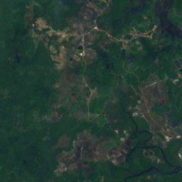
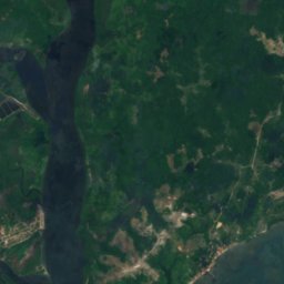
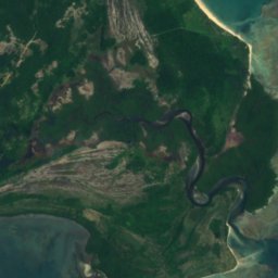
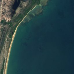
Satellite: Sentinel-2 cloudless 2016 by EOX IT Services GmbH · CC BY 4.0 · Contains modified Copernicus Sentinel data 2016
Stay nearby
Towns close by


Around here
Valença and around
Nature

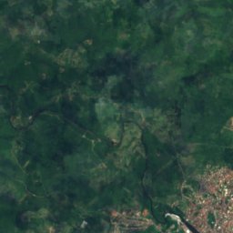
Satellite: Sentinel-2 cloudless 2016 by EOX IT Services GmbH · CC BY 4.0 · Contains modified Copernicus Sentinel data 2016
Piau River
River · 186 m
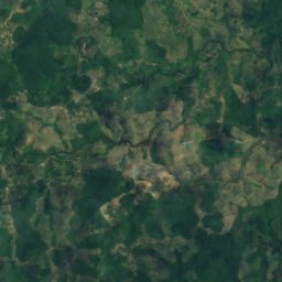
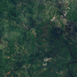
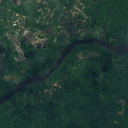
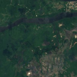
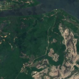
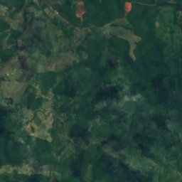
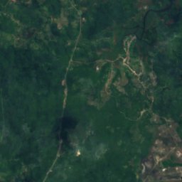
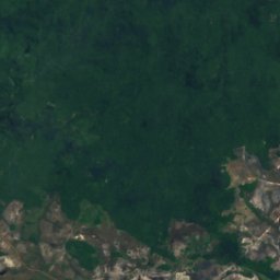
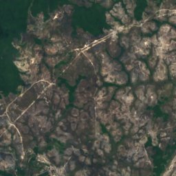
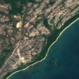
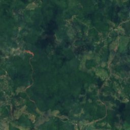
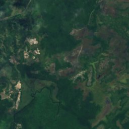
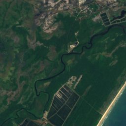
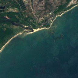
Satellite: Sentinel-2 cloudless 2016 by EOX IT Services GmbH · CC BY 4.0 · Contains modified Copernicus Sentinel data 2016
Jequiriçá River
River
Heritage
Satellite: Sentinel-2 cloudless 2016 by EOX IT Services GmbH · CC BY 4.0 · Contains modified Copernicus Sentinel data 2016
Casa onde nasceu o Conselheiro Zacarias Góes de Vasconcelos
asset listed by local / municipal government · 1700

Igreja de Nossa Senhora do Amparo
asset listed by local / municipal government · 1800

Casa da Câmara dos Vereadores
asset listed by local / municipal government
Museums
Satellite: Sentinel-2 cloudless 2016 by EOX IT Services GmbH · CC BY 4.0 · Contains modified Copernicus Sentinel data 2016
Memorial de Valença
2010




Satellite: Sentinel-2 cloudless 2016 by EOX IT Services GmbH · CC BY 4.0 · Contains modified Copernicus Sentinel data 2016