























Skip to content
Destinations
Weather & climate
Nature
Outdoors
Culture
Events
Sky & live
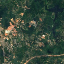
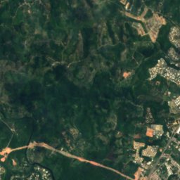
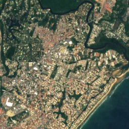
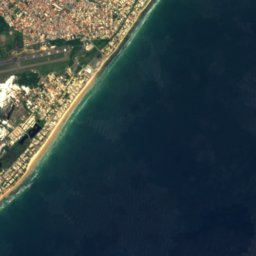
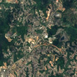
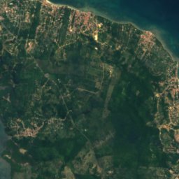
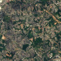
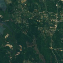
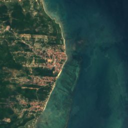
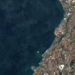
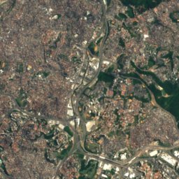
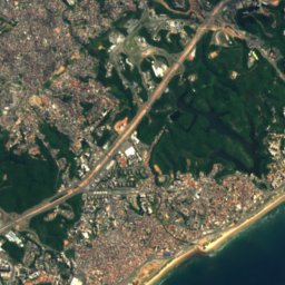
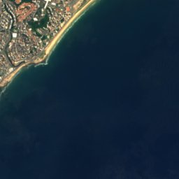
Satellite: Sentinel-2 cloudless 2016 by EOX IT Services GmbH · CC BY 4.0 · Contains modified Copernicus Sentinel data 2016
Prainha do Solar do Unhão
Photo: JorgeRicardo · CC BY-SA 3.0 · Wikimedia Commons
Prainha do Solar do UnhãoReport this photo · linked, not stored
Prainha do Solar do Unhão
Ondina Beach
Photo: Túllio F · CC BY-SA 4.0 · Wikimedia Commons
Ondina BeachReport this photo · linked, not stored
Ondina Beach
Praia da Paciência, Bahia
Photo: enioprado · CC BY-SA 3.0 · Wikimedia Commons
Praia da Paciência, BahiaReport this photo · linked, not stored
Praia da Paciência, Bahia
Praia do Cristo, Salvador
Photo: Rômulo Ferreira · CC BY 2.0 · Wikimedia Commons
Praia do Cristo, SalvadorReport this photo · linked, not stored
Praia do Cristo, Salvador
LakeSalvador, Bahia

Dique do Tororó

LakeBest Sep–Oct · Dec
Elevation–above sea level
Area–surface
Nearest townSalvador1.9 km
12.98° S, 38.51° WUTC−3 · Brasilia Standard Time
When to goSalvador · weather score
JanFebMarAprMayJunJulAugSepOctNovDec77October
Best timeSep–Oct · Dec
October: high / low26° / 24°
Lake

Dique do Tororó in brief

Dique do Tororó is a lake in Salvador, Bahia, Brazil.

The nearest town in the atlas is Salvador, 1.9 km to the NE, where the weather is best in September, October and December.

Salvador: weather and travel guide

Weather nearby now

Forecast for Salvador
28°
Sunny now
Wind17 km/h
Humidity66%
Cloud cover14%
Today
22 Oct
28°
26°
Fri
23 Oct
27°
26°
1 mm
Sat
24 Oct
28°
25°
Sun
25 Oct
29°
25°
Mon
26 Oct
29°
25°

Model run 00:00 UTCRefreshed several times a day

When to go

The best months around Dique do Tororó

Climate of Salvador

Month score in Salvador

Comfort, dry days and sunshine · out of 100
Map

Dique do Tororó from above

Nature nearbyAll of Brazil
Photo: JorgeRicardo · CC BY-SA 3.0 · Wikimedia CommonsReport this photo · linked, not stored
Prainha do Solar do UnhãoBeach1.6 kmWPrainha do Solar do Unhão
Photo: Túllio F · CC BY-SA 4.0 · Wikimedia CommonsReport this photo · linked, not stored
Ondina BeachBeach3.0 kmSOndina Beach
Photo: enioprado · CC BY-SA 3.0 · Wikimedia CommonsReport this photo · linked, not stored
Praia da Paciência, BahiaBeach3.1 kmSPraia da Paciência, Bahia
Photo: Rômulo Ferreira · CC BY 2.0 · Wikimedia CommonsReport this photo · linked, not stored
Praia do Cristo, SalvadorBeach3.3 kmSWPraia do Cristo, Salvador
Photo: Foto:Fabio Rodrigues Pozzebom/ABr · CC BY 3.0 br · Wikimedia CommonsReport this photo · linked, not stored
Praia do Rio VermelhoBeach3.4 kmSEPraia do Rio Vermelho
Photo: Luan · CC BY-SA 4.0 · Wikimedia CommonsReport this photo · linked, not stored
Porto da Barra BeachBeach3.6 kmSWPorto da Barra Beach
Stay nearby

Towns close by

Salvador
Photo: Unknown author · CC BY-SA 3.0 · Wikimedia CommonsReport this photo · linked, not stored

Salvador

Bahia · 1.9 km NE
26°Oct high
8wet days
77score
Salvador
Vera Cruz
Photo: Paul R. Burley · CC BY-SA 4.0 · Wikimedia CommonsReport this photo · linked, not stored

Vera Cruz

Bahia · 11 km W
26°Oct high
8wet days
77score
Vera Cruz
Itaparica
Photo: Turismo Bahia · CC BY-SA 2.0 · Wikimedia CommonsReport this photo · linked, not stored

Itaparica

Bahia · 22 km NW
27°Oct high
8wet days
75score
Itaparica
Lauro de Freitas
Photo: Paul R. Burley · CC BY-SA 4.0 · Wikimedia CommonsReport this photo · linked, not stored

Lauro de Freitas

Bahia · 22 km NE
27°Oct high
8wet days
74score
Lauro de Freitas
Around here

Salvador and around

Salvador
Photo: Unknown author · CC BY-SA 3.0 · Wikimedia CommonsReport this photo · linked, not stored

Salvador

Bahia · Brazil
Sep–Oct · Decbest months
25°July high
4 maltitude
Salvador

Nature

Pituaçu Lake
Photo: Toluaye · Public domain · Wikimedia CommonsReport this photo · linked, not stored
8.1 km E

Pituaçu Lake

Lake
Pituaçu Lake
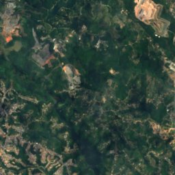
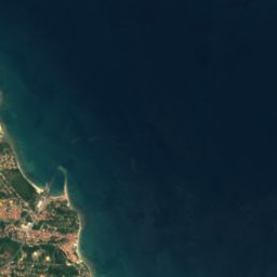
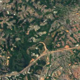
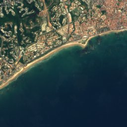
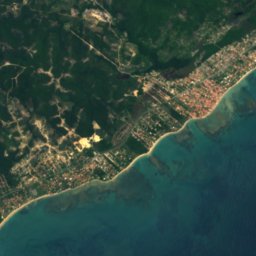
Satellite: Sentinel-2 cloudless 2016 by EOX IT Services GmbH · CC BY 4.0 · Contains modified Copernicus Sentinel data 2016
4.0 km SE

Camaragipe River

River
Camaragipe River
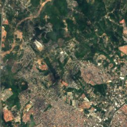
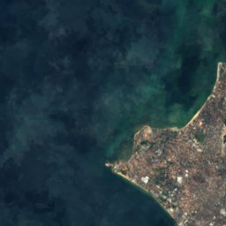
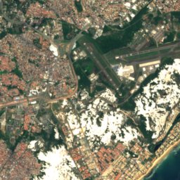
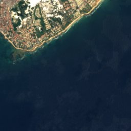
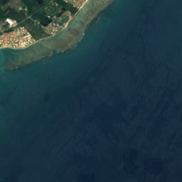
Satellite: Sentinel-2 cloudless 2016 by EOX IT Services GmbH · CC BY 4.0 · Contains modified Copernicus Sentinel data 2016
15 km NE

Represa Ipitanga

Lake · 69 m
Represa Ipitanga

Heritage

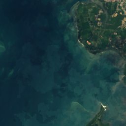
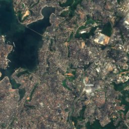
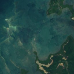
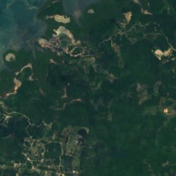
Satellite: Sentinel-2 cloudless 2016 by EOX IT Services GmbH · CC BY 4.0 · Contains modified Copernicus Sentinel data 2016
0.8 km S

Salvador

World Heritage Site · 1549
Salvador
Caramuru Building
Photo: Paul R. Burley · CC BY-SA 4.0 · Wikimedia CommonsReport this photo · linked, not stored
2.5 km W

Caramuru Building

IPAC historic heritage site · 1946
Caramuru Building
Cathedral of Salvador
Photo: Paul R. Burley · CC BY-SA 4.0 · Wikimedia CommonsReport this photo · linked, not stored
2.1 km W

Cathedral of Salvador

Heritage of Portuguese Influence · 1672
Cathedral of Salvador

Museums

Afro-Brazilian Museum
Photo: Sailko · CC BY-SA 4.0 · Wikimedia CommonsReport this photo · linked, not stored
2.1 km W

Afro-Brazilian Museum

Museum of culture · 1982
Afro-Brazilian Museum
Museum of Modern Art of Bahia
Photo: Ajmcbarreto · CC BY-SA 4.0 · Wikimedia CommonsReport this photo · linked, not stored
3.3 km W

Museum of Modern Art of Bahia

Museum of modern art · 1960
Museum of Modern Art of Bahia
Satellite: Sentinel-2 cloudless 2016 by EOX IT Services GmbH · CC BY 4.0 · Contains modified Copernicus Sentinel data 2016
1.9 km W

Fundação Casa de Jorge Amado

Biographical museum · 1987
Fundação Casa de Jorge Amado