
Photo: David Moraes de Andrade · CC BY-SA 3.0 · Wikimedia Commons
Cocó RiverReport this photo · linked, not stored
Cocó RiverReport this photo · linked, not stored

Photo: ME/Portal da Copa · CC BY 3.0 br · Wikimedia Commons
Praia do FuturoReport this photo · linked, not stored
Praia do FuturoPraia do FuturoReport this photo · linked, not stored
RiverEusébio, Ceará
Cocó River
RiverBest Sep–Nov
Elevation–above sea level
Area–surface
Nearest townEusébio13 km
3.78° S, 38.44° WUTC−3 · Brasilia Standard Time
When to goEusébio · weather score
Best timeSep–Nov
October: high / low30° / 25°
River
Cocó River in brief
Cocó River is a river in Eusébio, Ceará, Brazil.
The nearest town in the atlas is Eusébio, 13 km to the S, where the weather is best in September, October and November.
Weather nearby now
Forecast for Eusébio32°
Sunny now
Today
22 Oct
32°
25°
1 mm
Fri
23 Oct
31°
25°
Sat
24 Oct
32°
26°
Sun
25 Oct
31°
25°
Mon
26 Oct
31°
25°
Model run 00:00 UTCRefreshed several times a day
The course of the river
As mapped in OpenStreetMap, with the towns of the atlas along its banks.sourcemouth (or where the mapped line leaves the country)
Map
Cocó River from above
Nature nearbyAll of Brazil
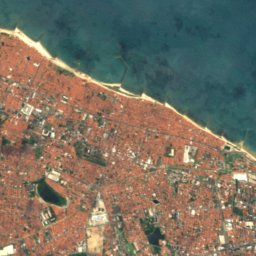
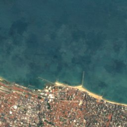
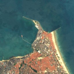


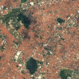
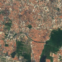
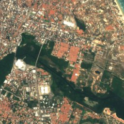
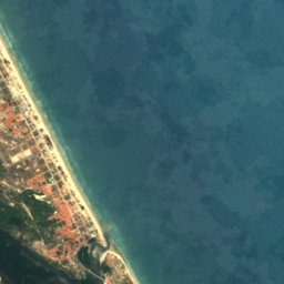

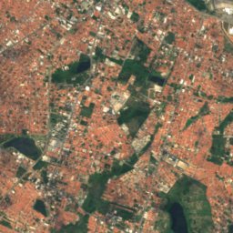
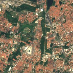
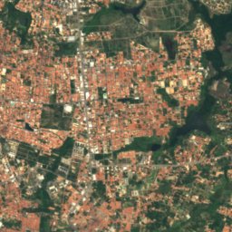
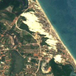
Satellite: Sentinel-2 cloudless 2016 by EOX IT Services GmbH · CC BY 4.0 · Contains modified Copernicus Sentinel data 2016
Satellite: Sentinel-2 cloudless 2016 by EOX IT Services GmbH · CC BY 4.0 · Contains modified Copernicus Sentinel data 2016



Satellite: Sentinel-2 cloudless 2016 by EOX IT Services GmbH · CC BY 4.0 · Contains modified Copernicus Sentinel data 2016
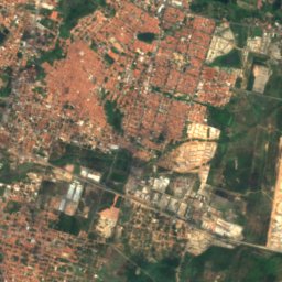
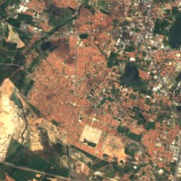
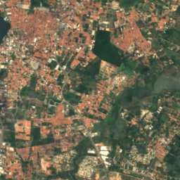
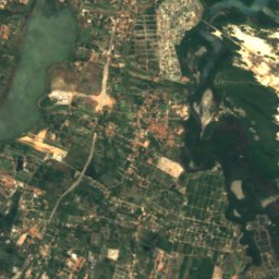
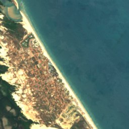
Satellite: Sentinel-2 cloudless 2016 by EOX IT Services GmbH · CC BY 4.0 · Contains modified Copernicus Sentinel data 2016

Satellite: Sentinel-2 cloudless 2016 by EOX IT Services GmbH · CC BY 4.0 · Contains modified Copernicus Sentinel data 2016


Around here
Eusébio and around
Nature

Photo: Krewinkel-Terto de Amorim · Public domain · Wikimedia CommonsReport this photo · linked, not stored
Pacoti River
River · 3 m
Satellite: Sentinel-2 cloudless 2016 by EOX IT Services GmbH · CC BY 4.0 · Contains modified Copernicus Sentinel data 2016
Coaçu river
River
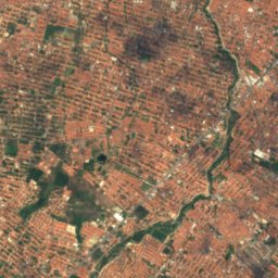
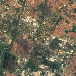
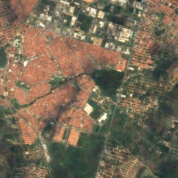
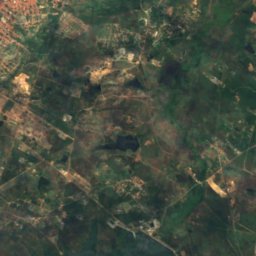
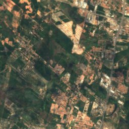
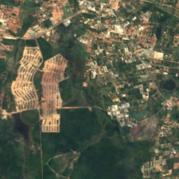
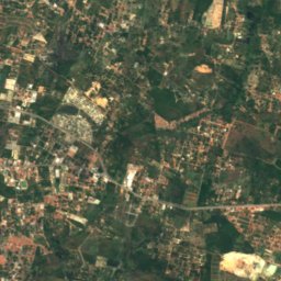
Satellite: Sentinel-2 cloudless 2016 by EOX IT Services GmbH · CC BY 4.0 · Contains modified Copernicus Sentinel data 2016
Lagoa do Cajueiro, Ceará
Lake · 26 m
Heritage
Satellite: Sentinel-2 cloudless 2016 by EOX IT Services GmbH · CC BY 4.0 · Contains modified Copernicus Sentinel data 2016
Casa de José de Alencar
heritage asset listed by IPHAN · 1826

Photo: Luiz Eugenio Teixeira Leite · CC BY-SA 4.0 · Wikimedia CommonsReport this photo · linked, not stored
Mother Church of São José de Ribamar
Heritage of Portuguese Influence
Museums

Satellite: Sentinel-2 cloudless 2016 by EOX IT Services GmbH · CC BY 4.0 · Contains modified Copernicus Sentinel data 2016
Centro Histórico M. Dias Branco
2000


