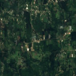
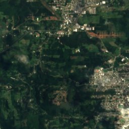
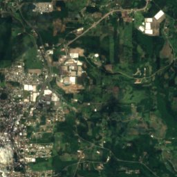
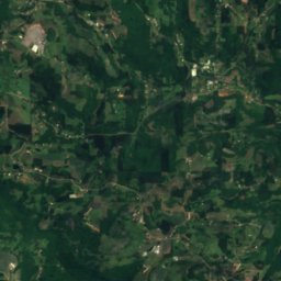
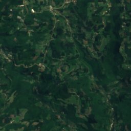
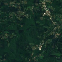
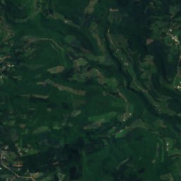
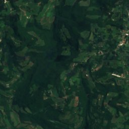
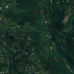
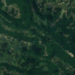
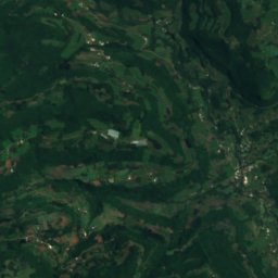
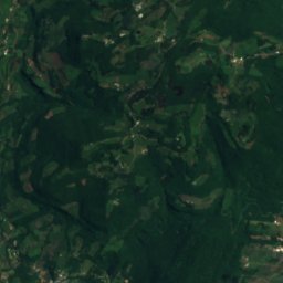
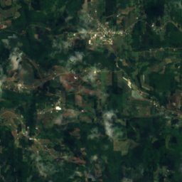
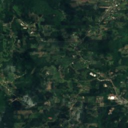
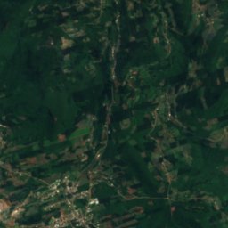
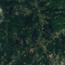
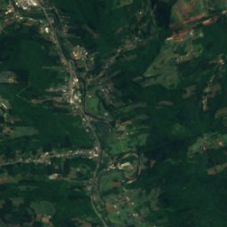
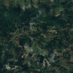
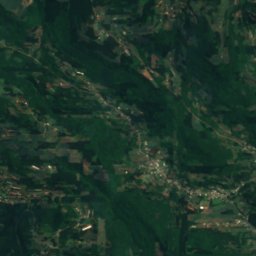
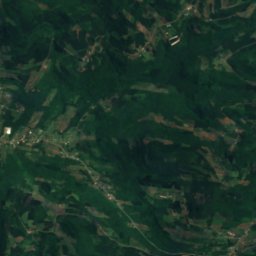
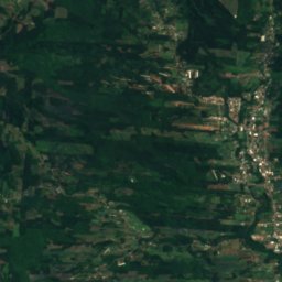
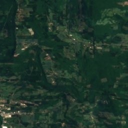
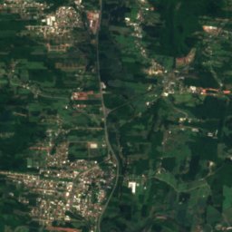
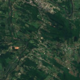
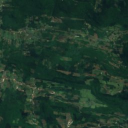
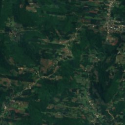
Satellite: Sentinel-2 cloudless 2016 by EOX IT Services GmbH · CC BY 4.0 · Contains modified Copernicus Sentinel data 2016
RiverCarlos Barbosa, Rio Grande do Sul
Canastra River
RiverBest Mar · May · Aug
Elevation–above sea level
Area–surface
Nearest townCarlos Barbosa18 km
29.39° S, 51.36° WUTC−3 · Brasilia Standard Time
When to goCarlos Barbosa · weather score
Best timeMar · May · Aug
October: high / low22° / 12°
River
Canastra River in brief
Canastra River is a river in Carlos Barbosa, Rio Grande do Sul, Brazil.
The nearest town in the atlas is Carlos Barbosa, 18 km to the NW, where the weather is best in March, May and August.
Weather nearby now
Forecast for Carlos Barbosa25°
Cloudy now
Today
22 Oct
25°
13°
2 mm
Fri
23 Oct
26°
15°
5 mm
Sat
24 Oct
21°
15°
13 mm
Sun
25 Oct
15°
11°
8 mm
Mon
26 Oct
18°
10°
1 mm
Model run 00:00 UTCRefreshed several times a day
When to go
Climate of Carlos BarbosaThe best months around Canastra River
Month score in Carlos Barbosa
Comfort, dry days and sunshine · out of 10060
Jan
60
Feb
65
Mar
64
Apr
67
May
59
Jun
59
Jul
68
Aug
61
Sep
60
Oct
63
Nov
62
Dec
Map
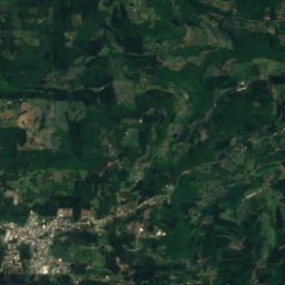
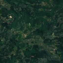
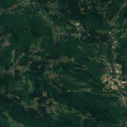
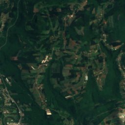
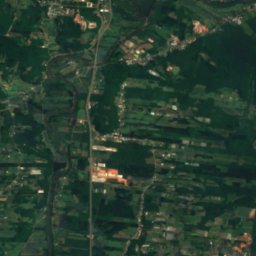
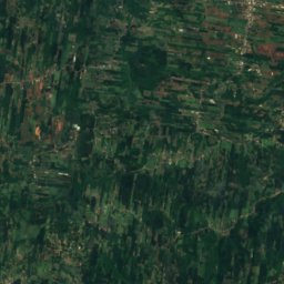
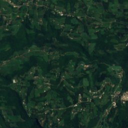
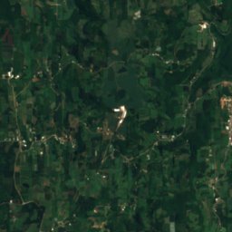
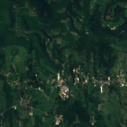
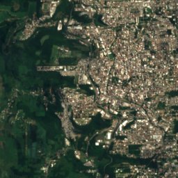
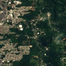
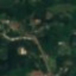
Canastra River from above
Nature nearbyAll of Brazil
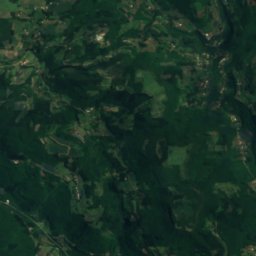
Satellite: Sentinel-2 cloudless 2016 by EOX IT Services GmbH · CC BY 4.0 · Contains modified Copernicus Sentinel data 2016
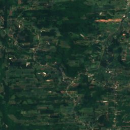
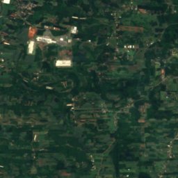
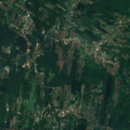
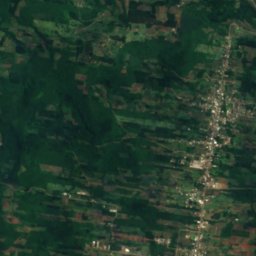
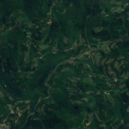
Satellite: Sentinel-2 cloudless 2016 by EOX IT Services GmbH · CC BY 4.0 · Contains modified Copernicus Sentinel data 2016
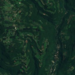
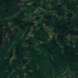
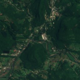
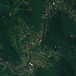
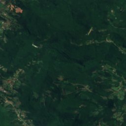
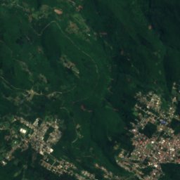
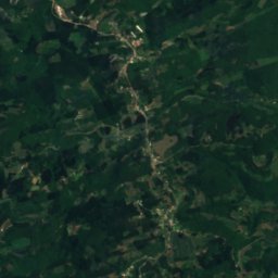
Satellite: Sentinel-2 cloudless 2016 by EOX IT Services GmbH · CC BY 4.0 · Contains modified Copernicus Sentinel data 2016
Satellite: Sentinel-2 cloudless 2016 by EOX IT Services GmbH · CC BY 4.0 · Contains modified Copernicus Sentinel data 2016
Stay nearby
Towns close by
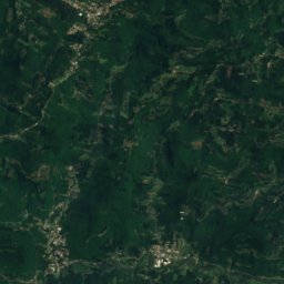
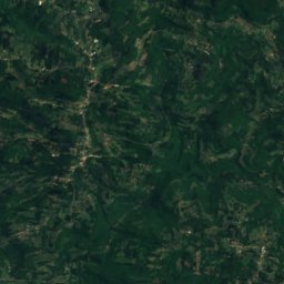
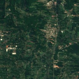
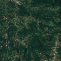
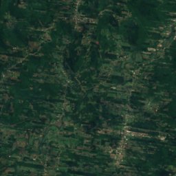
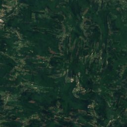
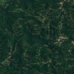
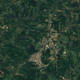
Satellite: Sentinel-2 cloudless 2016 by EOX IT Services GmbH · CC BY 4.0 · Contains modified Copernicus Sentinel data 2016
Presidente Lucena
Rio Grande do Sul · 22 km SE
24°Oct high
14wet days
61score

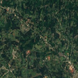
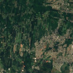
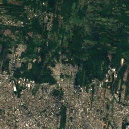
Satellite: Sentinel-2 cloudless 2016 by EOX IT Services GmbH · CC BY 4.0 · Contains modified Copernicus Sentinel data 2016
Lindolfo Collor
Rio Grande do Sul · 27 km SE
24°Oct high
14wet days
61score
Around here
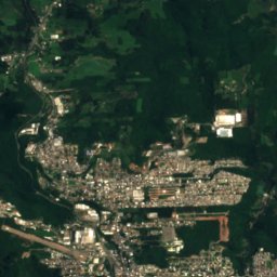
Carlos Barbosa and around

Carlos Barbosa
Rio Grande do Sul · Brazil
Mar · May · Augbest months
17°July high
680 maltitude
Nature
Satellite: Sentinel-2 cloudless 2016 by EOX IT Services GmbH · CC BY 4.0 · Contains modified Copernicus Sentinel data 2016
Jaguari River, Rio Grande do Sul
River
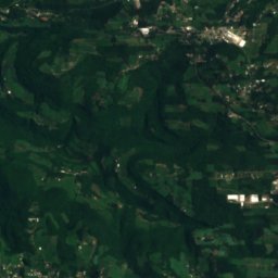
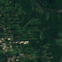
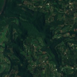
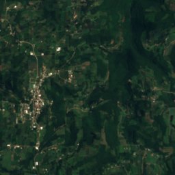
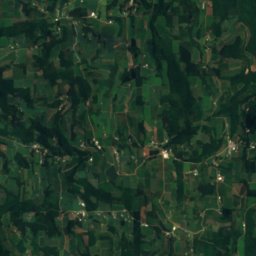
Satellite: Sentinel-2 cloudless 2016 by EOX IT Services GmbH · CC BY 4.0 · Contains modified Copernicus Sentinel data 2016
Cascata dos Amores (Caxias do Sul)
Waterfall
Museums
Satellite: Sentinel-2 cloudless 2016 by EOX IT Services GmbH · CC BY 4.0 · Contains modified Copernicus Sentinel data 2016
Museu Histórico Casa do Imigrante
1974
Satellite: Sentinel-2 cloudless 2016 by EOX IT Services GmbH · CC BY 4.0 · Contains modified Copernicus Sentinel data 2016
Museu e Acervo Histórico-Cultural
2002


Satellite: Sentinel-2 cloudless 2016 by EOX IT Services GmbH · CC BY 4.0 · Contains modified Copernicus Sentinel data 2016
Museu e Acervo Histórico-Cultural de São Pedro da Serra
2006