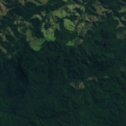
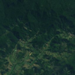
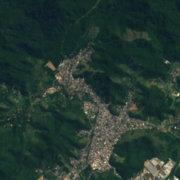
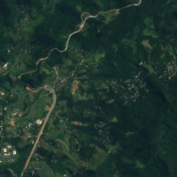
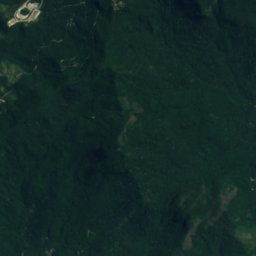
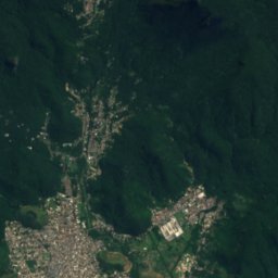
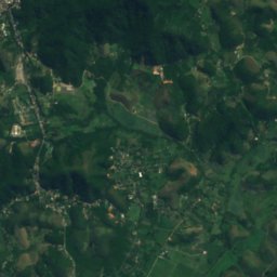
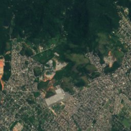
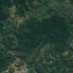
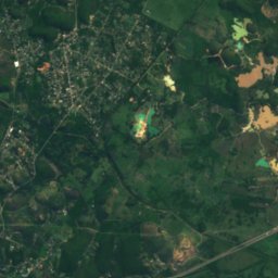
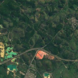
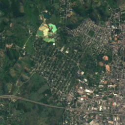
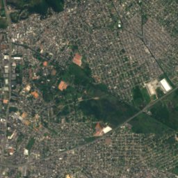
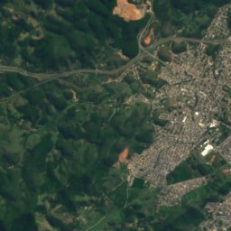
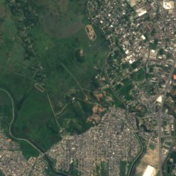
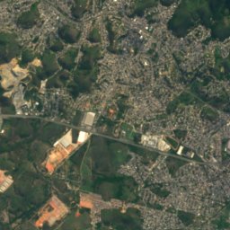
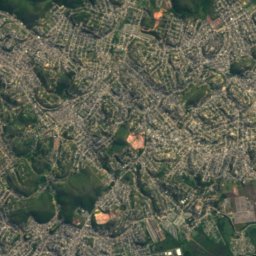
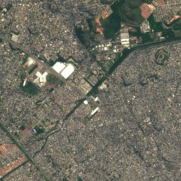
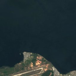
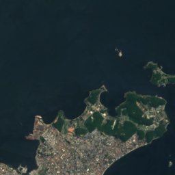
Satellite: Sentinel-2 cloudless 2016 by EOX IT Services GmbH · CC BY 4.0 · Contains modified Copernicus Sentinel data 2016

Photo: Tânia Rêgo / Agência Brasil · CC BY 3.0 br · Wikimedia Commons
Capivari River, Rio de JaneiroReport this photo · linked, not stored
Capivari River, Rio de JaneiroCapivari River, Rio de JaneiroReport this photo · linked, not stored

Photo: Filipo Tardim · CC BY-SA 4.0 · Wikimedia Commons
Sarapuí River, Rio de JaneiroReport this photo · linked, not stored
Sarapuí River, Rio de JaneiroSarapuí River, Rio de JaneiroReport this photo · linked, not stored
RiverDuque de Caxias, Rio de Janeiro
Botas River
River4 m elevationBest Jun–Aug
Elevation4 mabove sea level
Area–surface
Nearest townDuque de Caxias11 km
22.70° S, 43.35° WElevation 4 mUTC−3 · Brasilia Standard Time
When to goDuque de Caxias · weather score
Best timeJun–Aug
October: high / low28° / 20°
River
Botas River in brief
Botas River is a river in Duque de Caxias, Rio de Janeiro, Brazil.
It lies at 4 m above sea level.
The nearest town in the atlas is Duque de Caxias, 11 km to the SE, where the weather is best in June, July and August.
Weather nearby now
Forecast for Duque de Caxias24°
Cloudy now
Today
22 Oct
25°
21°
1 mm
Fri
23 Oct
22°
19°
13 mm
Sat
24 Oct
30°
21°
23 mm
Sun
25 Oct
26°
24°
21 mm
Mon
26 Oct
25°
21°
5 mm
Model run 00:00 UTCRefreshed several times a day
Map
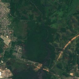
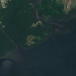
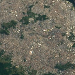
Botas River from above
Nature nearbyAll of Brazil

Photo: Tânia Rêgo / Agência Brasil · CC BY 3.0 br · Wikimedia CommonsReport this photo · linked, not stored
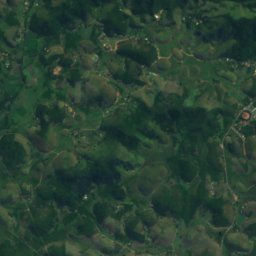
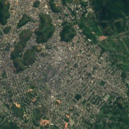
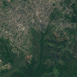
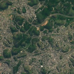
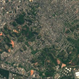
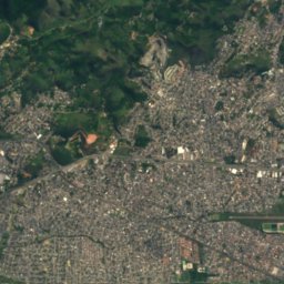
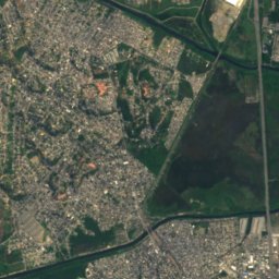
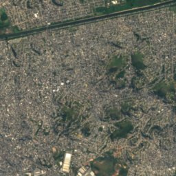
Satellite: Sentinel-2 cloudless 2016 by EOX IT Services GmbH · CC BY 4.0 · Contains modified Copernicus Sentinel data 2016

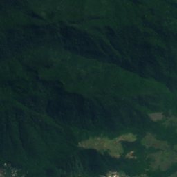
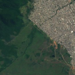
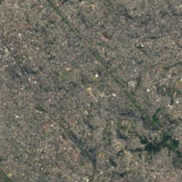
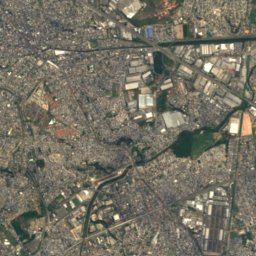
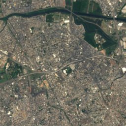
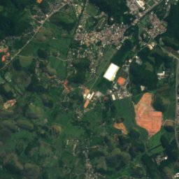
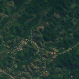
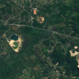
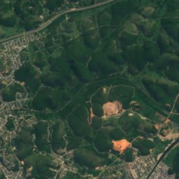
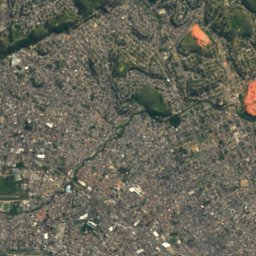
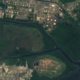
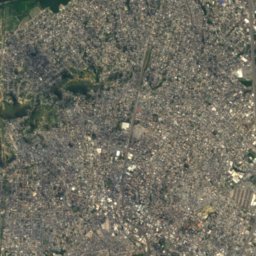
Satellite: Sentinel-2 cloudless 2016 by EOX IT Services GmbH · CC BY 4.0 · Contains modified Copernicus Sentinel data 2016
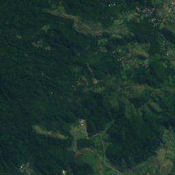
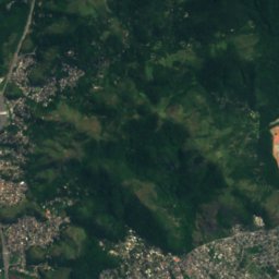
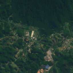
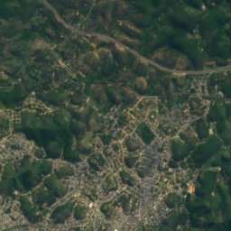
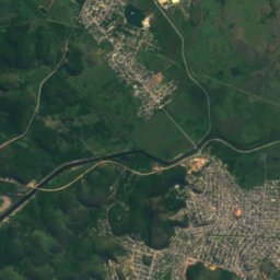
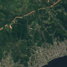
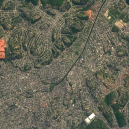
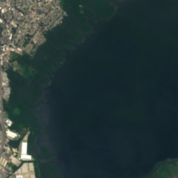
Satellite: Sentinel-2 cloudless 2016 by EOX IT Services GmbH · CC BY 4.0 · Contains modified Copernicus Sentinel data 2016
Satellite: Sentinel-2 cloudless 2016 by EOX IT Services GmbH · CC BY 4.0 · Contains modified Copernicus Sentinel data 2016
Stay nearby
Towns close by

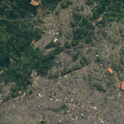
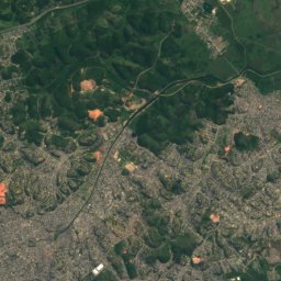
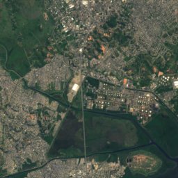
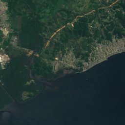
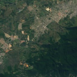
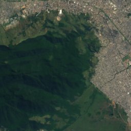
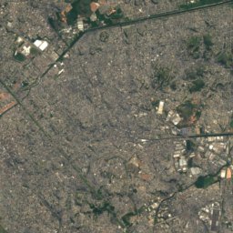
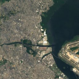
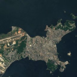
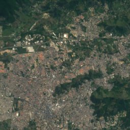
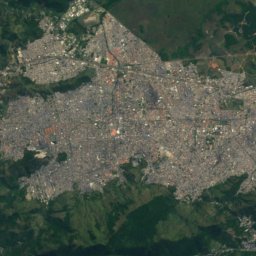
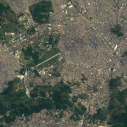
Satellite: Sentinel-2 cloudless 2016 by EOX IT Services GmbH · CC BY 4.0 · Contains modified Copernicus Sentinel data 2016
São João de Meriti
Rio de Janeiro · 12 km S
28°Oct high
20wet days
49score


Around here
Duque de Caxias and around
Nature

Photo: Tânia Rêgo / Agência Brasil · CC BY 3.0 br · Wikimedia CommonsReport this photo · linked, not stored
Meriti river
River
Photo: Tânia Rêgo / Agência Brasil · CC BY 3.0 br · Wikimedia CommonsReport this photo · linked, not stored
Capivari River, Rio de Janeiro
River
Mountains


Heritage

Federal University of Rio de Janeiro
heritage asset listed by IPHAN · 1920



Satellite: Sentinel-2 cloudless 2016 by EOX IT Services GmbH · CC BY 4.0 · Contains modified Copernicus Sentinel data 2016
Olaria Atlético Clube
IRPH Good Class · 1915
Museums






Satellite: Sentinel-2 cloudless 2016 by EOX IT Services GmbH · CC BY 4.0 · Contains modified Copernicus Sentinel data 2016
Museu Vivo do São Bento
2005
Satellite: Sentinel-2 cloudless 2016 by EOX IT Services GmbH · CC BY 4.0 · Contains modified Copernicus Sentinel data 2016
Museu Ciência e Vida

Photo: Renata Linhares de Araújo · CC BY-SA 4.0 · Wikimedia CommonsReport this photo · linked, not stored

Museu de Imagens do Inconsciente
1952