
Photo: VicTrindade · CC BY-SA 4.0 · Wikimedia Commons
Aparecida BeachReport this photo · linked, not stored
Aparecida BeachReport this photo · linked, not stored
 Ponta da Praia

Photo: Photograph by Mike Peel (www.mikepeel.net). · CC BY-SA 4.0 · Wikimedia Commons
Santa Cruz dos Navegantes BeachReport this photo · linked, not stored
Santa Cruz dos Navegantes BeachSanta Cruz dos Navegantes BeachReport this photo · linked, not stored

Photo: enioprado · CC BY-SA 3.0 · Wikimedia Commons
Gonzaga beachReport this photo · linked, not stored
Gonzaga beachGonzaga beachReport this photo · linked, not stored

Photo: Bruna 1999 · CC BY-SA 4.0 · Wikimedia Commons
Morro VoturuáReport this photo · linked, not stored
Morro VoturuáMorro VoturuáReport this photo · linked, not stored
BeachSantos, São Paulo
Aparecida Beach
BeachBest May · Jul–Aug
Elevation–above sea level
Sea, warmest27°CFebruary
Nearest townSantos3.1 km
23.98° S, 46.31° WUTC−3 · Brasilia Standard Time
When to goSantos · weather score
Best timeMay · Jul–Aug
October: high / low24° / 20°
Beach
Aparecida Beach in brief
Aparecida Beach is a beach in Santos, São Paulo, Brazil.
The nearest town in the atlas is Santos, 3.1 km to the NW, where the weather is best in May, July and August.
The sea is warmest in February, at about 27°C.
Weather nearby now
Forecast for Santos23°
Cloudy now
Today
22 Oct
24°
21°
3 mm
Fri
23 Oct
24°
21°
27 mm
Sat
24 Oct
26°
22°
3 mm
Sun
25 Oct
25°
22°
88 mm
Mon
26 Oct
23°
20°
16 mm
Model run 00:00 UTCRefreshed several times a day
Sea and air through the year
Sea surface temperature off the coast and the average daily high in Santos, month by month.Jan27°28°
Feb27°28°
Mar27°27°
Apr26°26°
May24°24°
Jun22°23°
Jul21°23°
Aug20°23°
Sep21°23°
Oct22°24°
Nov23°25°
Dec25°27°
seaair, daily high
Map
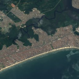
Aparecida Beach from above
Nature nearbyAll of Brazil


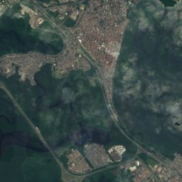
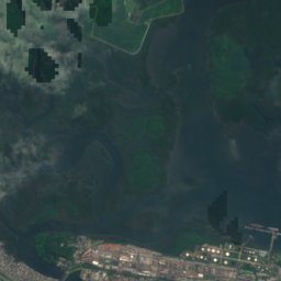
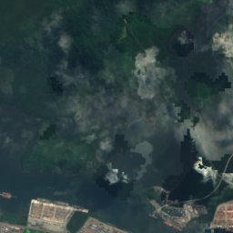
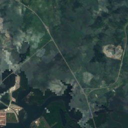
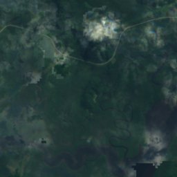
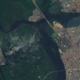
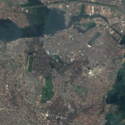
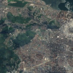
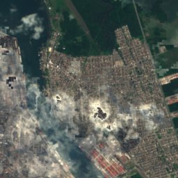
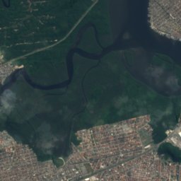
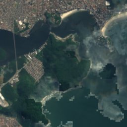
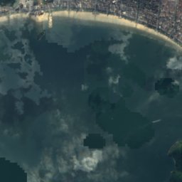
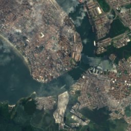
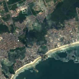
Satellite: Sentinel-2 cloudless 2016 by EOX IT Services GmbH · CC BY 4.0 · Contains modified Copernicus Sentinel data 2016

Photo: Photograph by Mike Peel (www.mikepeel.net). · CC BY-SA 4.0 · Wikimedia CommonsReport this photo · linked, not stored
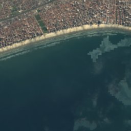
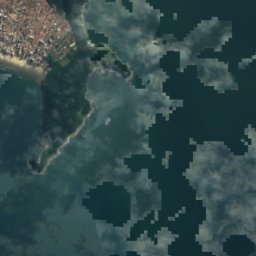
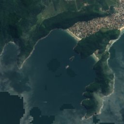
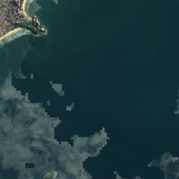
Satellite: Sentinel-2 cloudless 2016 by EOX IT Services GmbH · CC BY 4.0 · Contains modified Copernicus Sentinel data 2016

Summits nearbyMountains of Brazil

Stay nearby
Towns close by

Photo: derivative work: Fulviusbsas (talk) Cathedral_1_Santos_Brasil.jpg: Morio · CC BY-SA 3.0 · Wikimedia CommonsReport this photo · linked, not stored
Santos
São Paulo · 3.1 km NW
24°Oct high
18wet days
58score


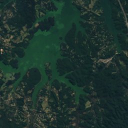
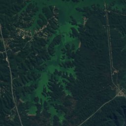
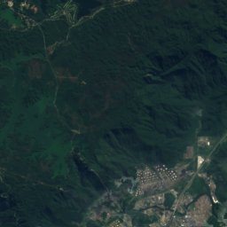
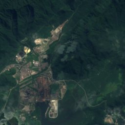
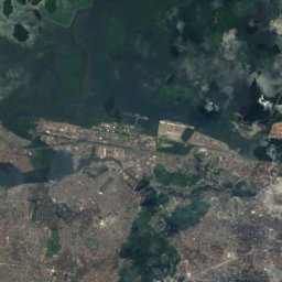
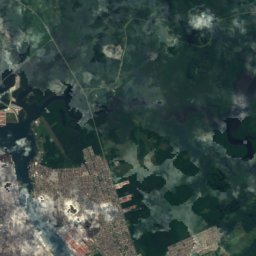
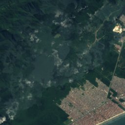
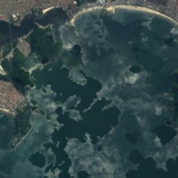
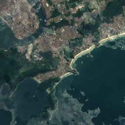
Satellite: Sentinel-2 cloudless 2016 by EOX IT Services GmbH · CC BY 4.0 · Contains modified Copernicus Sentinel data 2016
Praia Grande
São Paulo · 9.5 km W
24°Oct high
18wet days
58score
Around here
Santos and around
Photo: derivative work: Fulviusbsas (talk) Cathedral_1_Santos_Brasil.jpg: Morio · CC BY-SA 3.0 · Wikimedia CommonsReport this photo · linked, not stored
Santos
São Paulo · Brazil
May · Jul–Augbest months
23°July high
12 maltitude
Nature


Mountains
Heritage



Satellite: Sentinel-2 cloudless 2016 by EOX IT Services GmbH · CC BY 4.0 · Contains modified Copernicus Sentinel data 2016
Our Lady of the Rosary Cathedral, Santos
CONDEPASA Good Class · 1909

Photo: Photograph by Mike Peel (www.mikepeel.net). · CC BY-SA 4.0 · Wikimedia CommonsReport this photo · linked, not stored
Church of Our Lady on Monte Serrat
Heritage of Portuguese Influence · 1599

Museums


Photo: Photograph by Mike Peel (www.mikepeel.net). · CC BY-SA 4.0 · Wikimedia CommonsReport this photo · linked, not stored


