Nature
Waters, ice and wild places of Bolivia
Lakes, waterfalls, glaciers, national parks and mountain huts, each with its location, its size and the weather of the towns around it.
Lakes181with a page
Waterfalls2with a page
Glaciers3with a page
National parks4with a page

Lakes
Lakes of Bolivia


Photo: Lucas from Campinas, Brazil · CC BY-SA 2.0 · Wikimedia CommonsReport this photo · linked, not stored
Alalay Lake
Cochabamba, Cochabamba
2,576 m

Photo: Zorka Ostojic Espinoza from Arica, Chile · CC BY 2.0 · Wikimedia CommonsReport this photo · linked, not stored
Corani Lake
Colomi, Cochabamba
3,253 m

All 181 lakes
- Achiri Lake
- Aguallamaya Lake
- Alalay Lake
- Arkhata Lake
- Asiru Qucha
- Cáceres Lake
- Cacha Lake
- Celeste Lake
- Ch'uxña Quta (Charasani)
- Ch'uxña Quta (Curva)
- Ch'uxña Quta (Murillo)
- Chilata Lake
- Chillwa Quta
- Cololo Lake
- Consuelo Lake
- Corani Lake
- Glaciar Lake
- Isireri Lake
- Jach'a Quta (Aroma)
- Jach'a Quta (Murillo)
- Jach'a Quta (Sud Yungas)
- Janq'u Qala
- Janq'u Quta (El Alto)
- Janq'u Quta (Larecaja)
- Juntutuyo
- K'ayrani Quta
- K'iski Quta
- La Angostura Lake
- La Gaiba Lake
- La Laguna Lake
- Lago Cotacucho
- Lago de Caracota
- Laguna Alicota
- Laguna Andapata
- Laguna Anocara
- Laguna Aquihui
- Laguna Arteza Pata
- Laguna Asuncion
- Laguna Azeroni
- Laguna Batea
- Laguna Berta Khara
- Laguna Bibosi
- Laguna Cajas
- Laguna Cala Huta
- Laguna Calcha
- Laguna Calcha Chico
- Laguna Caluyo
- Laguna Camatindi
- Laguna Canasa
- Laguna Capihuasuti
- Laguna Catantira
- Laguna Chalviri
- Laguna Chijmo Kkota
- Laguna Chillchasi
- Laguna Chochoja
- Laguna Chungarkkota
- Laguna Churuputo
- Laguna Colcha
- Laguna Colchapampa
- Laguna Coloraki
- Laguna Coua
- Laguna Cruzani Cocha
- Laguna Cucuyoj
- Laguna Curihuani
- Laguna de Chalviri
- Laguna de Comercocha
- Laguna de Durazno
- Laguna de la Angostura
- Laguna de la Calzada
- Laguna del Gringo
- Laguna El Junquillar
- Laguna El Peji
- Laguna Gaiba Mirim
- Laguna Grande
- Laguna Guapama
- Laguna Hichucota
- Laguna Irutira
- Laguna Isquillani
- Laguna Jachcha Huana
- Laguna Jachcha Khasiri
- Laguna Jankho Khala
- Laguna Jatun Cacha
- Laguna Jaya Kkoya
- Laguna Juanchulo
- Laguna Kellu
- Laguna Kkota
- Laguna La Corriente
- Laguna Laka Chaca
- Laguna Lakha Chaca
- Laguna Laramkkota
- Laguna Las Medinas
- Laguna Las Taperas
- Laguna Los Coguipos
- Laguna Los Puerquitos
- Laguna Mallcu Kkota
- Laguna Naranjani
- Laguna Nubi
- Laguna Nutuca
- Laguna Nuvi
- Laguna Octacota
- Laguna Oquecucho
- Laguna Orkho Khocha
- Laguna Pagola
- Laguna Pakkollu
- Laguna Pampa Khocha
- Laguna Parina Kkota
- Laguna Parraraqut
- Laguna Phuchu Phuchu
- Laguna Pozo Marqueza
- Laguna Quello
- Laguna San Carlos
- Laguna San Ildefonso
- Laguna San Miguelito
- Laguna Santa Marta
- Laguna Sicoko Kkota
- Laguna Soliz
- Laguna Sucuará
- Laguna Taipicota
- Laguna Tala Khocha
- Laguna Tiacota
- Laguna Totorani
- Laguna Tujsa Kkota
- Laguna Tuluma
- Laguna Tuni
- Laguna Usuboca
- Laguna Vera Cruz
- Laguna Verde, Santa Cruz Department
- Laguna Vila Chururuni
- Laguna Wara Warani
- Laguna Zongo
- Lagunas de Las Vacas
- Laram Quta (El Alto)
- Laram Quta (Inquisivi)
- Laram Quta (Los Andes)
- Laram Quta (Sud Yungas)
- Larati Lake
- Lawrawani Lake
- Limon Kjocha Lake
- Milluni Lake
- Mirim Lake
- Ojo del Inca
- Pampalarama
- Paqu Quta
- Parqu Qucha
- Pila Qucha
- Pilawit'u
- Poopó Lake
- Q'ara Quta, La Paz Department
- Q'ara Quta, Potosí Department
- Q'umir Qucha
- Qachu Quta
- Qullpa Qucha
- Represa Tacagua
- Rodeo Lake
- San Antonio Lake (Bolivia)
- Sayt'u Qucha (Tiquipaya)
- Sayt'u Qucha (Tiraque)
- Sirk'i Quta
- Suárez Lake
- Suches Lake
- Sura Quta (Patamanta)
- Sura Quta (Wayna Potosí)
- T'ala Qucha
- T'utura Qucha (Bolivia)
- Tajzara Lake
- Tatarenda Lake
- Taypi Chaka Quta
- Titicaca
- Tumichuqua Lake
- Urqu Qucha
- Uru Uru Lake
- Volcán Lake
- Wallatani
- Waña Quta (La Paz)
- Waña Quta, Cochabamba
- Warawara Lake (Potosí)
- Warawara Lake, Cochabamba
- Warus Quta (Larecaja)
- Warus Quta (Loayza)
- Watir Quta
- Wiñaymarka Lake
Waterfalls
Waterfalls of Bolivia
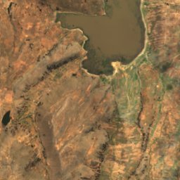
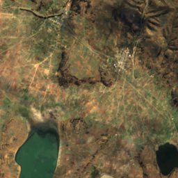
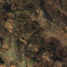
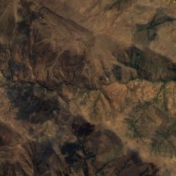
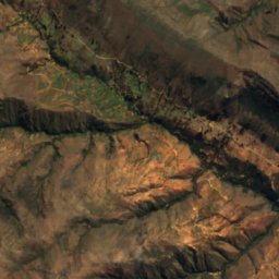
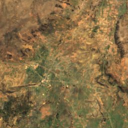
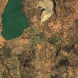
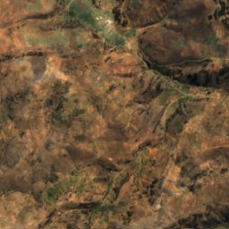
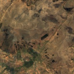
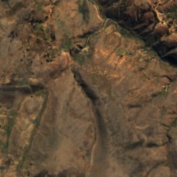
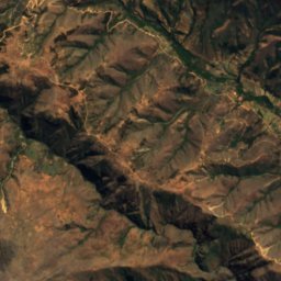
Satellite: Sentinel-2 cloudless 2016 by EOX IT Services GmbH · CC BY 4.0 · Contains modified Copernicus Sentinel data 2016
Turu Warkhu
Vacas, Cochabamba
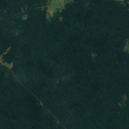
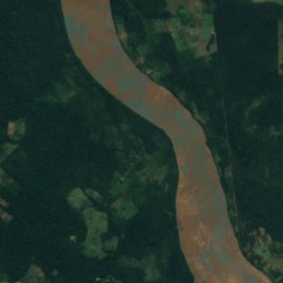
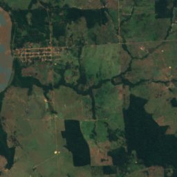
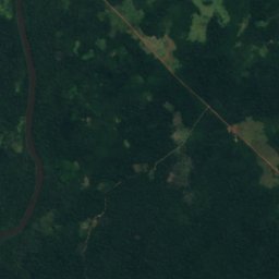
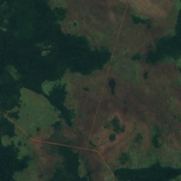
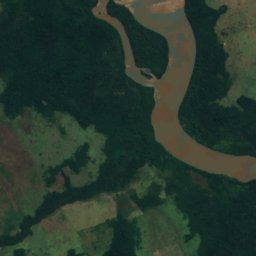
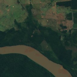
Satellite: Sentinel-2 cloudless 2016 by EOX IT Services GmbH · CC BY 4.0 · Contains modified Copernicus Sentinel data 2016
Cachoeira das Bananeiras
Guayaramerín, Beni Department
124 m
Glaciers
Glaciers of Bolivia
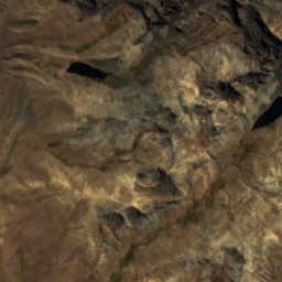
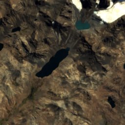
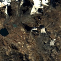
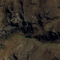
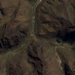
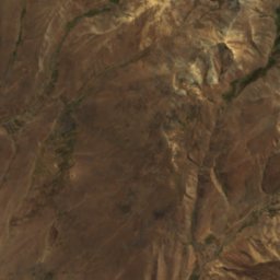
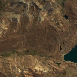
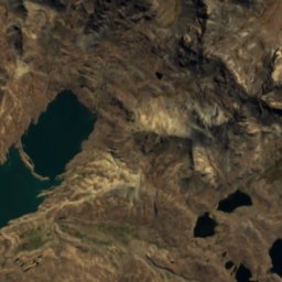
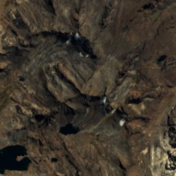
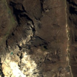
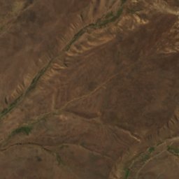
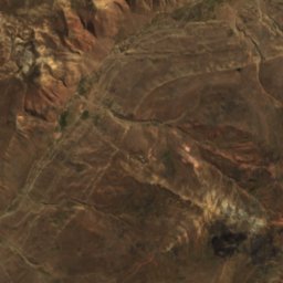
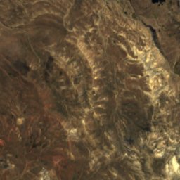
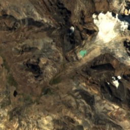
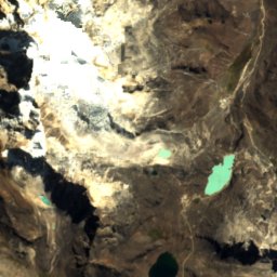
Satellite: Sentinel-2 cloudless 2016 by EOX IT Services GmbH · CC BY 4.0 · Contains modified Copernicus Sentinel data 2016
Saltuni
La Paz, La Paz Department
5,284 m
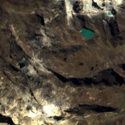
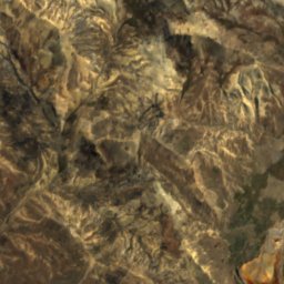
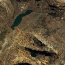
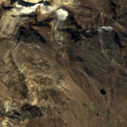
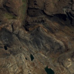
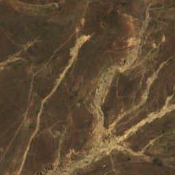
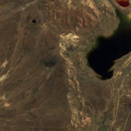
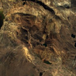
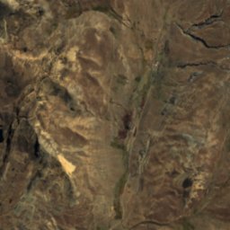
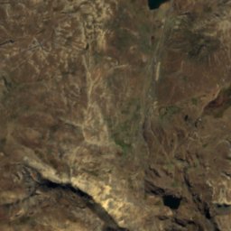
Satellite: Sentinel-2 cloudless 2016 by EOX IT Services GmbH · CC BY 4.0 · Contains modified Copernicus Sentinel data 2016
Chacaltaya Glacier
La Paz, La Paz Department
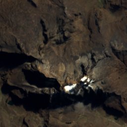
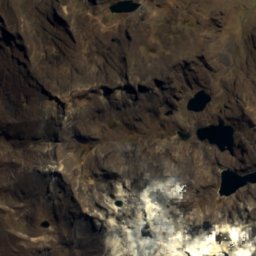
Satellite: Sentinel-2 cloudless 2016 by EOX IT Services GmbH · CC BY 4.0 · Contains modified Copernicus Sentinel data 2016
Zongo Glacier
La Paz, La Paz Department
National parks
National parks of Bolivia

Cotapata National Park and Integrated Management Natural Area
Coroico, La Paz Department
1,974 m


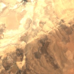
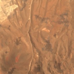
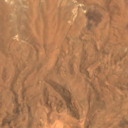
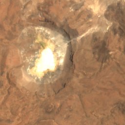
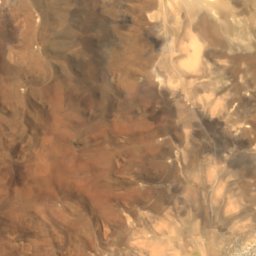
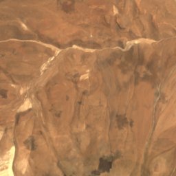
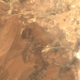
Satellite: Sentinel-2 cloudless 2016 by EOX IT Services GmbH · CC BY 4.0 · Contains modified Copernicus Sentinel data 2016
Llica National Park
Llica, Potosí Department
Beaches
Beaches of Bolivia
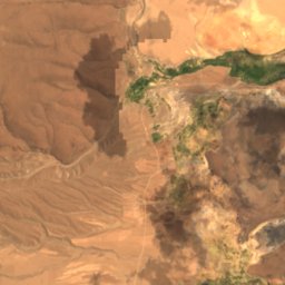
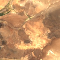
Satellite: Sentinel-2 cloudless 2016 by EOX IT Services GmbH · CC BY 4.0 · Contains modified Copernicus Sentinel data 2016
Salar de Pocopoconi
Llica, Potosí Department
3,799 m
Islands
Islands of Bolivia

Photo: Alexson Scheppa Peisino(AlexSP) · Public domain · Wikimedia CommonsReport this photo · linked, not stored
Isla del Sol
Challapampa, La Paz Department

Photo: Alexandre Buisse (Nattfodd) · CC BY-SA 4.0 · Wikimedia CommonsReport this photo · linked, not stored
Isla de la Luna
Challapampa, La Paz Department
3,925 m


Photo: Alexson Scheppa Peisino(AlexSP) · Public domain · Wikimedia CommonsReport this photo · linked, not stored
Jochihuata
Challapampa, La Paz Department
3,815 m

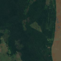
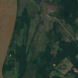
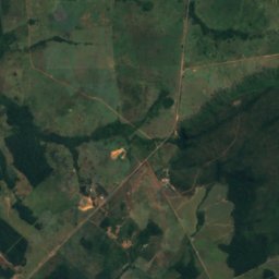
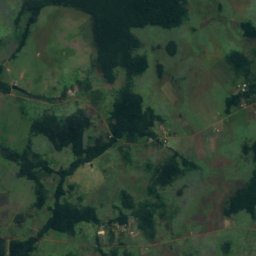
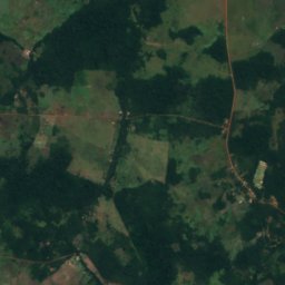
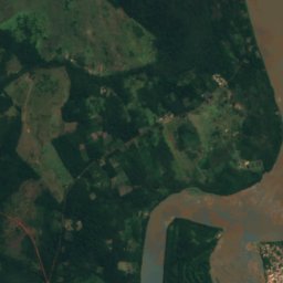
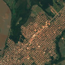
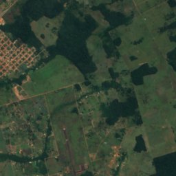
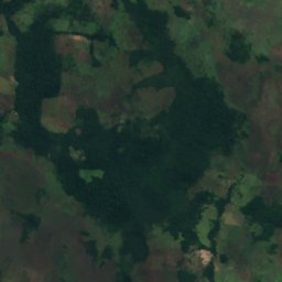
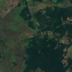
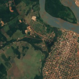
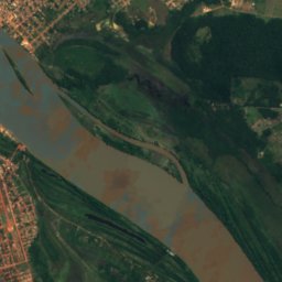
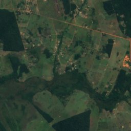
Satellite: Sentinel-2 cloudless 2016 by EOX IT Services GmbH · CC BY 4.0 · Contains modified Copernicus Sentinel data 2016
Isla Suárez/Ilha de Guajará-Mirim
Guayaramerín, Beni Department
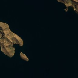
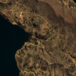
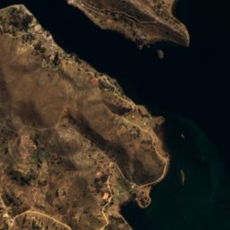



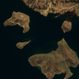
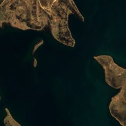

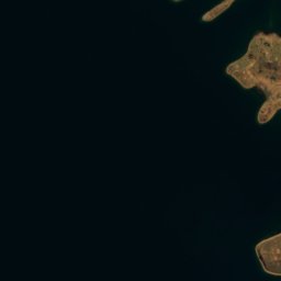
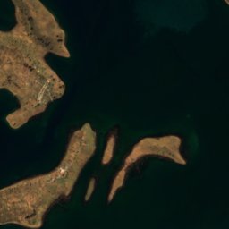
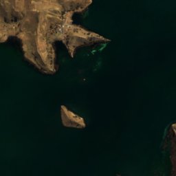
Satellite: Sentinel-2 cloudless 2016 by EOX IT Services GmbH · CC BY 4.0 · Contains modified Copernicus Sentinel data 2016
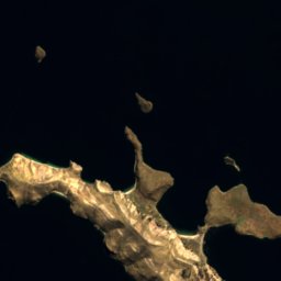
Anapia Island
Isla Suriqui, La Paz Department












Satellite: Sentinel-2 cloudless 2016 by EOX IT Services GmbH · CC BY 4.0 · Contains modified Copernicus Sentinel data 2016
Isla Quenata
Challapampa, La Paz Department
3,815 m
All 41 islands
- Anapia Island
- Ilha do Cará-Cará
- Ilha Sargento
- Isla Boger
- Isla Caballo Marino
- Isla Cachiava
- Isla Candelaria
- Isla Chelleca
- Isla Chicachica
- Isla Chiquipa
- Isla Choquella
- Isla Chujo
- Isla Coa
- Isla Cojata
- Isla Cumana
- Isla de la Luna
- Isla de Las Piedras
- Isla del Sol
- Isla Hampaturi
- Isla Jiskha Huata
- Isla Kakata
- Isla Kellaista
- Isla Lakha Uta
- Isla Lavasani
- Isla Limina
- Isla Mayu
- Isla Pacavi
- Isla Paco
- Isla Paconava
- Isla Pallalla
- Isla Quenata
- Isla Sicoya
- Isla Suárez/Ilha de Guajará-Mirim
- Isla Sunaca
- Isla Taquiri
- Isla Yampupata
- Jochihuata
- Pariti Island
- Sicuya Island
- Suana Island
- Suriqui Island
Caves
Caves of Bolivia

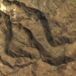
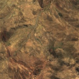
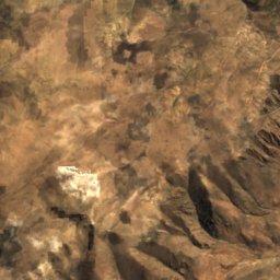
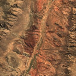
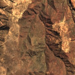
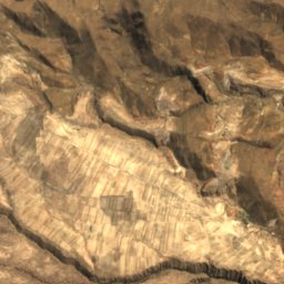
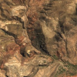
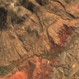
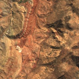
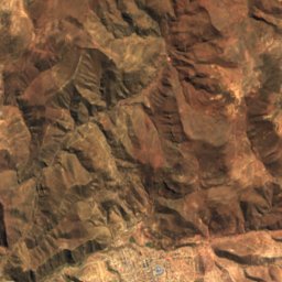
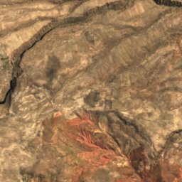
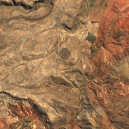
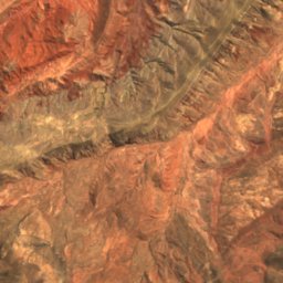
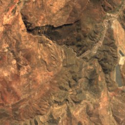
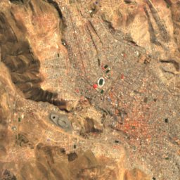
Satellite: Sentinel-2 cloudless 2016 by EOX IT Services GmbH · CC BY 4.0 · Contains modified Copernicus Sentinel data 2016
Cueva del Diablo
Potosí, Potosí Department
Rivers
Rivers of Bolivia


Photo: Natalia Rivera from Bogota, Colombia · CC BY 2.0 · Wikimedia CommonsReport this photo · linked, not stored
Grande River
Aiquile, Cochabamba


Photo: Sam Beebe Camera location17° 49′ 40.2″ S, 63° 16′ 44.4″ W View this and other ne · CC BY-SA 2.0 · Wikimedia CommonsReport this photo · linked, not stored
Piray River
Jorochito, Santa Cruz Department


All 76 rivers
- Amutara River
- Arque River
- Ayopaya River
- Caine River
- Camacho River
- Ch'aki Mayu
- Ch'alla Jawira
- Ch'alla Jawira (Callapa)
- Ch'alla Jawira (Ingavi)
- Ch'iyar Juqhu River
- Challana River
- Chayanta River
- Chiñi Mayu
- Choqueyapu River
- Chullqi Mayu
- Colorado River
- Coroico River
- Cotagaita River
- Curiche Grande River
- Grande River
- Ibabo River
- Ibare River
- Inka Wasi River
- Ivón River
- Jach'a Jawira (Aroma)
- Jach'a Jawira (Ingavi)
- Jach'a Jawira (Los Andes)
- Jach'a Jawira, Oruro
- Jach'a Uma
- Jatun Mayu (Chuquisaca)
- Jatun Mayu (Linares)
- Jatun Mayu (Tomás Frías)
- Jaya Mayu
- Kachi Mayu, Chuquisaca Department
- Katari River
- La Paz River
- Leque River
- Llallawa Jawira
- Malla Jawira
- Maniqui River
- Maran Mayu
- Mizque River
- Negro River
- Nuevo Guadalquivir River
- Orthon River
- Pacaás Novos River
- Piray River
- Puka Mayu, Cochabamba
- Puka Mayu, Potosí Department
- Quebrada Emero
- Quiquibey River
- Quizer River
- Río Camblaya
- Río Ivirizu
- Río Unduavi
- Rocha River
- Sabaya River
- Sacambaya River
- San Matéo River
- San Pedro River
- Sayarani River
- Surutú River
- T'uruchipa River
- Tallija River
- Tamapaya River
- Tarapaya River
- Tatasi River
- Thujsa Jawira, La Paz Department
- Tipuani River
- Tiwanaku River
- Tumusla River
- Tupiza River
- Uritu Mayu
- Urqu Jawira (Aroma)
- Urqu Jawira (Pedro Domingo Murillo)
- yuca guasi