Nature
Waters, ice and wild places of Benin
Lakes, waterfalls, glaciers, national parks and mountain huts, each with its location, its size and the weather of the towns around it.
Lakes8with a page
Waterfalls2with a page
Islands1with a page
Caves1with a page

Lakes
Lakes of Benin


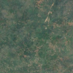
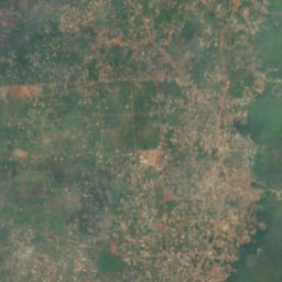
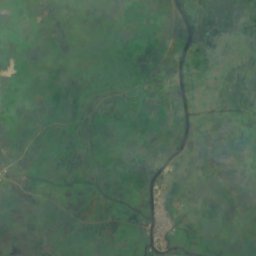
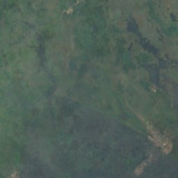

Satellite: Sentinel-2 cloudless 2016 by EOX IT Services GmbH · CC BY 4.0 · Contains modified Copernicus Sentinel data 2016
Lake Nokoué
Ganvie, Atlantique
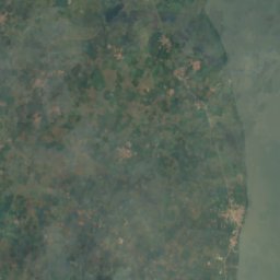
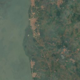
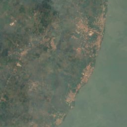
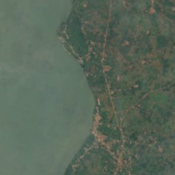
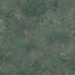
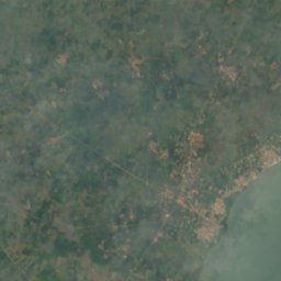
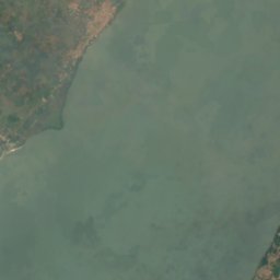
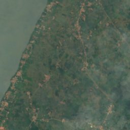
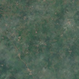
Satellite: Sentinel-2 cloudless 2016 by EOX IT Services GmbH · CC BY 4.0 · Contains modified Copernicus Sentinel data 2016
Lake Ahémé
Comè, Collines
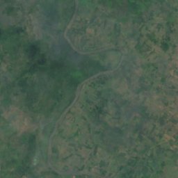
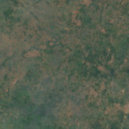
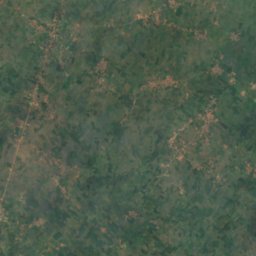
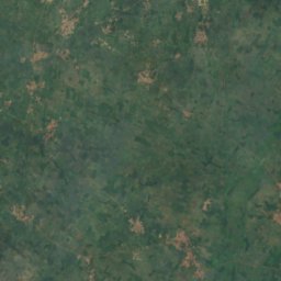
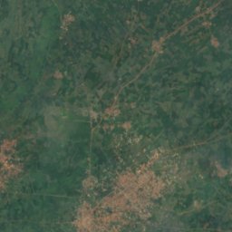
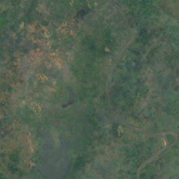
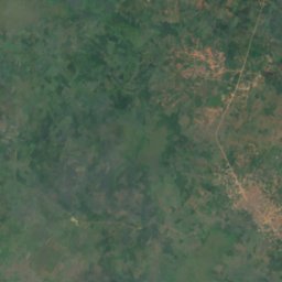
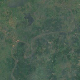
Satellite: Sentinel-2 cloudless 2016 by EOX IT Services GmbH · CC BY 4.0 · Contains modified Copernicus Sentinel data 2016
Lake Togbadji
Lokossa, Mono
Satellite: Sentinel-2 cloudless 2016 by EOX IT Services GmbH · CC BY 4.0 · Contains modified Copernicus Sentinel data 2016
Lagune Togbadji
Lokossa, Mono
14 m
Satellite: Sentinel-2 cloudless 2016 by EOX IT Services GmbH · CC BY 4.0 · Contains modified Copernicus Sentinel data 2016
Lac Aziri
Issaba, Plateau
13 m
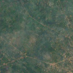
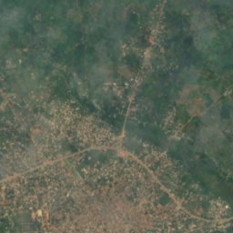
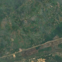
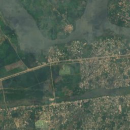
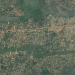
Satellite: Sentinel-2 cloudless 2016 by EOX IT Services GmbH · CC BY 4.0 · Contains modified Copernicus Sentinel data 2016
Lagune Toho
Tchakpécondji, Atlantique
1 m
Waterfalls
Waterfalls of Benin

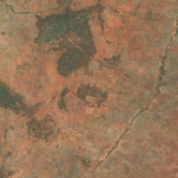
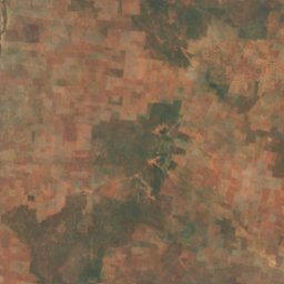
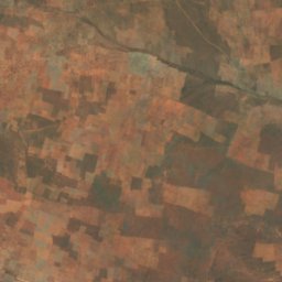
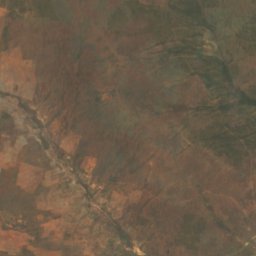
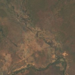
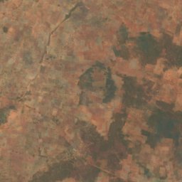
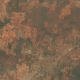
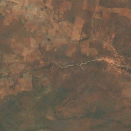
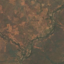
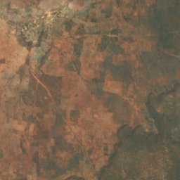
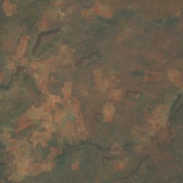
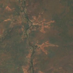
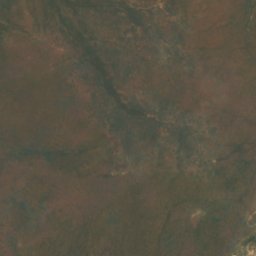
Satellite: Sentinel-2 cloudless 2016 by EOX IT Services GmbH · CC BY 4.0 · Contains modified Copernicus Sentinel data 2016
Cascades De Sosso
Lougou, Alibori
199 m
Islands
Islands of Benin

Caves
Caves of Benin
Satellite: Sentinel-2 cloudless 2016 by EOX IT Services GmbH · CC BY 4.0 · Contains modified Copernicus Sentinel data 2016
Grotte Notre-Dame d'Arigbo
Dassa-Zoumé, Collines
Rivers
Rivers of Benin


Photo: Jean-Baptiste AMAGBEGNON · CC BY-SA 4.0 · Wikimedia CommonsReport this photo · linked, not stored
Zou River
Issaba, Plateau

Photo: Kulttuurinavigaattori · CC BY-SA 4.0 · Wikimedia CommonsReport this photo · linked, not stored
Bouche du Roy
Grand-Popo, Mono
64 m
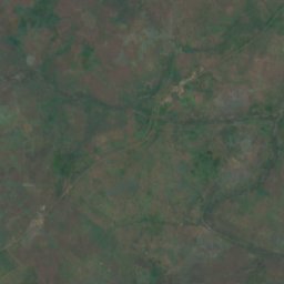
Satellite: Sentinel-2 cloudless 2016 by EOX IT Services GmbH · CC BY 4.0 · Contains modified Copernicus Sentinel data 2016
Agbado River
Dassa-Zoumé, Collines
64 m
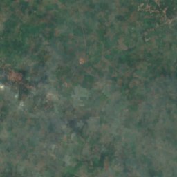
Satellite: Sentinel-2 cloudless 2016 by EOX IT Services GmbH · CC BY 4.0 · Contains modified Copernicus Sentinel data 2016
Couffo River
Avakpa, Atlantique
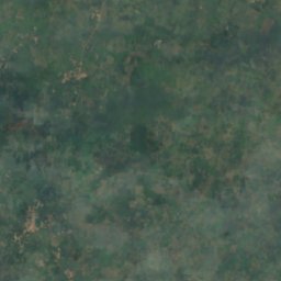
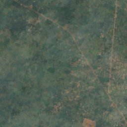
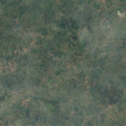
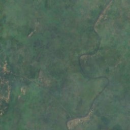


Satellite: Sentinel-2 cloudless 2016 by EOX IT Services GmbH · CC BY 4.0 · Contains modified Copernicus Sentinel data 2016
Alpouro River
Akassato, Atlantique
270 m