

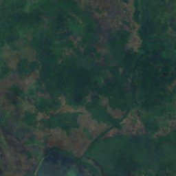
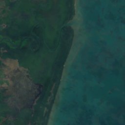



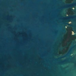
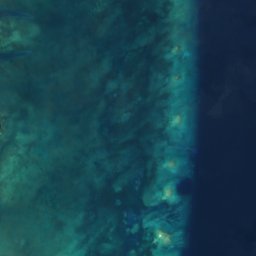










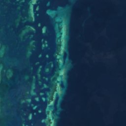

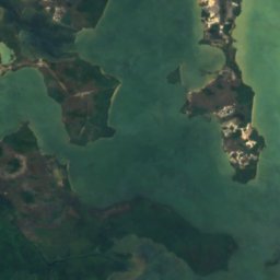
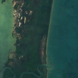




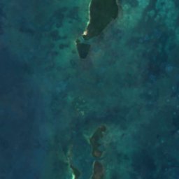
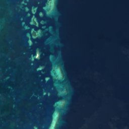

Satellite: Sentinel-2 cloudless 2016 by EOX IT Services GmbH · CC BY 4.0 · Contains modified Copernicus Sentinel data 2016
IslandBelize City, Belize District
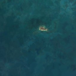
Simmonds Cay
IslandBest Feb–Apr
Elevation–above sea level
Area–surface
Nearest townBelize City21 km
17.31° N, 88.17° WUTC−6 · Central Standard Time
When to goBelize City · weather score
Best timeFeb–Apr
October: high / low31° / 25°
Island
Simmonds Cay in brief
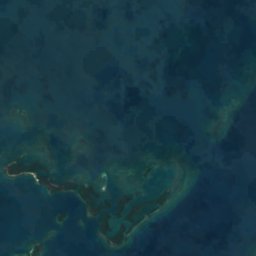
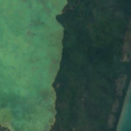
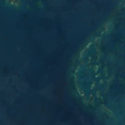
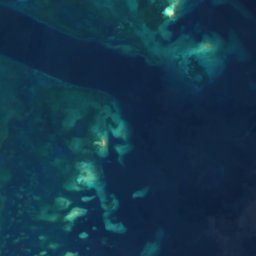
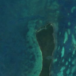
Simmonds Cay is an island in Belize City, Belize District, Belize.
The nearest town is Belize City, 21 km to the N, where the weather is best in February, March and April.
Weather nearby now
Forecast for Belize City26°
Cloudy now
Today
25 Oct
33°
22°
Mon
26 Oct
33°
22°
Tue
27 Oct
33°
23°
1 mm
Wed
28 Oct
33°
22°
1 mm
Thu
29 Oct
33°
23°
1 mm
Model run 12:00 UTCRefreshed several times a day
Map
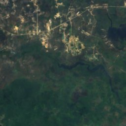
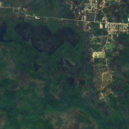
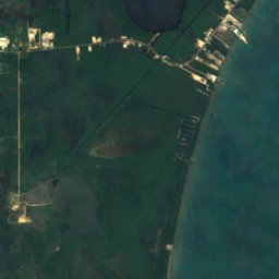
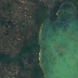
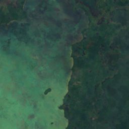
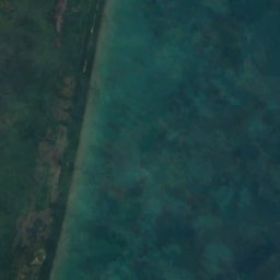
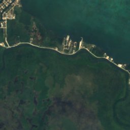
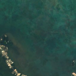
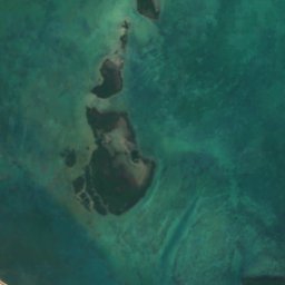
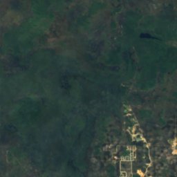
Simmonds Cay from above
Nature nearbyAll of Belize
Satellite: Sentinel-2 cloudless 2016 by EOX IT Services GmbH · CC BY 4.0 · Contains modified Copernicus Sentinel data 2016
Satellite: Sentinel-2 cloudless 2016 by EOX IT Services GmbH · CC BY 4.0 · Contains modified Copernicus Sentinel data 2016
Satellite: Sentinel-2 cloudless 2016 by EOX IT Services GmbH · CC BY 4.0 · Contains modified Copernicus Sentinel data 2016
Satellite: Sentinel-2 cloudless 2016 by EOX IT Services GmbH · CC BY 4.0 · Contains modified Copernicus Sentinel data 2016
Satellite: Sentinel-2 cloudless 2016 by EOX IT Services GmbH · CC BY 4.0 · Contains modified Copernicus Sentinel data 2016
Satellite: Sentinel-2 cloudless 2016 by EOX IT Services GmbH · CC BY 4.0 · Contains modified Copernicus Sentinel data 2016
Summits nearbyMountains of Belize
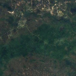
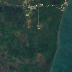
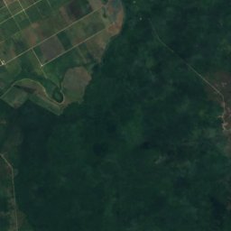
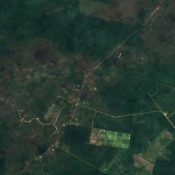
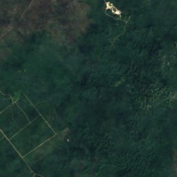
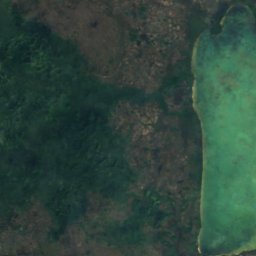
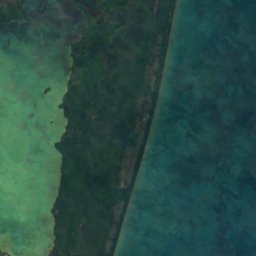
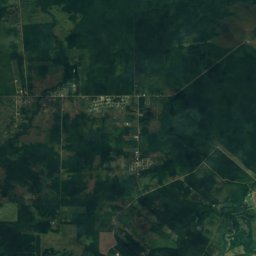
Satellite: Sentinel-2 cloudless 2016 by EOX IT Services GmbH · CC BY 4.0 · Contains modified Copernicus Sentinel data 2016
Satellite: Sentinel-2 cloudless 2016 by EOX IT Services GmbH · CC BY 4.0 · Contains modified Copernicus Sentinel data 2016
Stay nearby
Towns close by

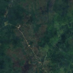
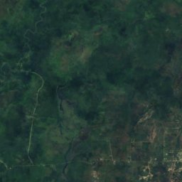
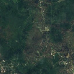
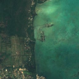
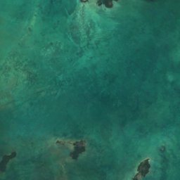
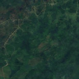
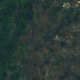
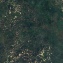
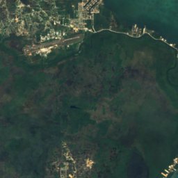
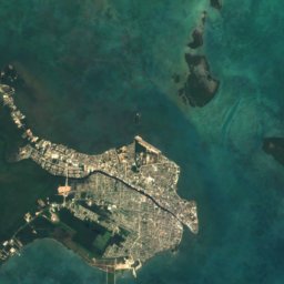
Satellite: Sentinel-2 cloudless 2016 by EOX IT Services GmbH · CC BY 4.0 · Contains modified Copernicus Sentinel data 2016
Western Paradise
Belize District · 22 km NW
31°Oct high
23wet days
38score

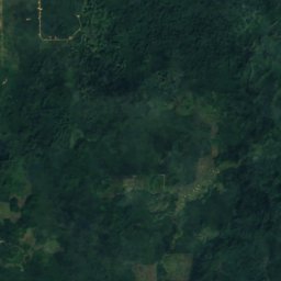

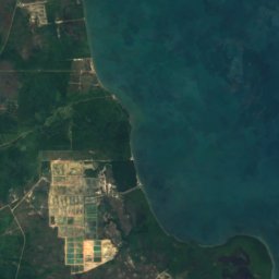

Satellite: Sentinel-2 cloudless 2016 by EOX IT Services GmbH · CC BY 4.0 · Contains modified Copernicus Sentinel data 2016
Gales Point
Belize District · 24 km SW
30°Oct high
23wet days
39score

Around here
Belize City and around
Nature

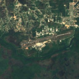

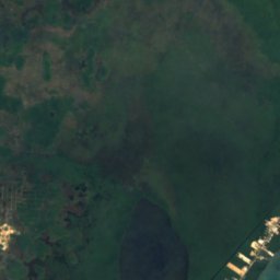
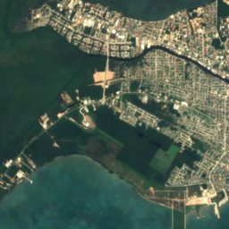
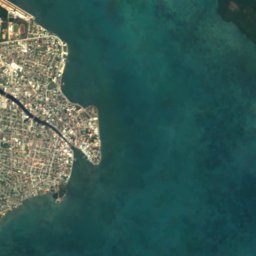
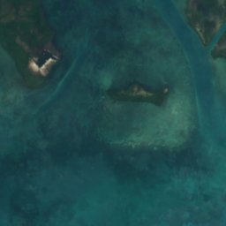
Satellite: Sentinel-2 cloudless 2016 by EOX IT Services GmbH · CC BY 4.0 · Contains modified Copernicus Sentinel data 2016
Haulover Creek
River
Satellite: Sentinel-2 cloudless 2016 by EOX IT Services GmbH · CC BY 4.0 · Contains modified Copernicus Sentinel data 2016
Yarborough Lagoon
Lake · 4 m
Mountains
Satellite: Sentinel-2 cloudless 2016 by EOX IT Services GmbH · CC BY 4.0 · Contains modified Copernicus Sentinel data 2016
Pecarry Hills
55 m
Satellite: Sentinel-2 cloudless 2016 by EOX IT Services GmbH · CC BY 4.0 · Contains modified Copernicus Sentinel data 2016
Freshwater Hill
23 m
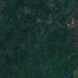
Satellite: Sentinel-2 cloudless 2016 by EOX IT Services GmbH · CC BY 4.0 · Contains modified Copernicus Sentinel data 2016
Gracy Rock Hill
23 m
Museums


Photo: Willamor Media from Cary, NC, USA · CC BY-SA 2.0 · Wikimedia CommonsReport this photo · linked, not stored
Bliss Institute
1954
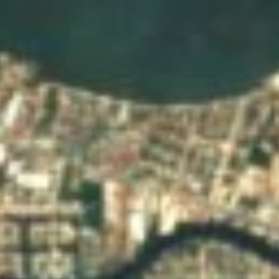
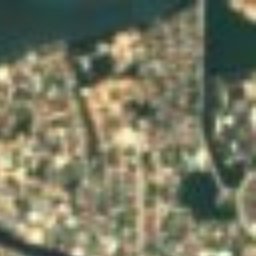
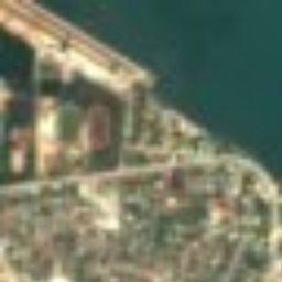






Satellite: Sentinel-2 cloudless 2016 by EOX IT Services GmbH · CC BY 4.0 · Contains modified Copernicus Sentinel data 2016
Maritime Museum
Maritime museum