Skip to content
Destinations
Weather & climate
Nature
Outdoors
Culture
Events
Sky & live
Thure
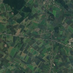
Photo: Jean-Pol GRANDMONT · CC BY-SA 3.0 · Wikimedia Commons
ThureReport this photo · linked, not stored
Hantes
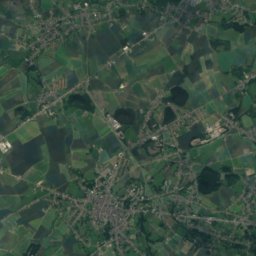
Photo: Jean-Pol GRANDMONT · CC BY-SA 3.0 · Wikimedia Commons
HantesReport this photo · linked, not stored
Hantes
Trouille
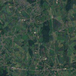
Photo: Jean-Pol GRANDMONT · CC BY 2.5 · Wikimedia Commons
TrouilleReport this photo · linked, not stored
Trouille
Laubac
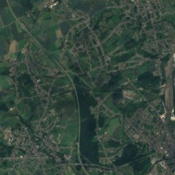
Photo: Grentidez · CC BY-SA 4.0 · Wikimedia Commons
LaubacReport this photo · linked, not stored
Laubac
Solre
Photo: Havang(nl) · CC0 · Wikimedia Commons
SolreReport this photo · linked, not stored
Solre
RiverSolre-sur-Sambre, Wallonia

Thure

RiverBest Jun–Jul · Sep
Elevation–above sea level
Length25 kmsource to mouth
Nearest townSolre-sur-Sambre0.4 km
50.31° N, 4.15° EUTC+2 · Central European Summer Time
When to goSolre-sur-Sambre · weather score
JanFebMarAprMayJunJulAugSepOctNovDec46October
Best timeJun–Jul · Sep
October: high / low15° / 8°
River

Thure in brief

Thure is a river in Solre-sur-Sambre, Wallonia, Belgium.

The nearest town in the atlas is Solre-sur-Sambre, 0.4 km to the SE, where the weather is best in June, July and September.

Thure is 25 km long.

Solre-sur-Sambre: weather and travel guide

Weather nearby now

Forecast for Solre-sur-Sambre
13°
Cloudy now
Wind19 km/h
Humidity84%
Cloud cover83%
Today
22 Oct
13°
6°
4 mm
Fri
23 Oct
12°
6°
14 mm
Sat
24 Oct
12°
6°
15 mm
Sun
25 Oct
14°
9°
15 mm
Mon
26 Oct
15°
9°
9 mm

Model run 00:00 UTCRefreshed several times a day

When to go

The best months around Thure

Climate of Solre-sur-Sambre

Month score in Solre-sur-Sambre

Comfort, dry days and sunshine · out of 100
15
Jan
19
Feb
27
Mar
55
Apr
64
May
65
Jun
65
Jul
65
Aug
70
Sep
46
Oct
16
Nov
14
Dec
Map

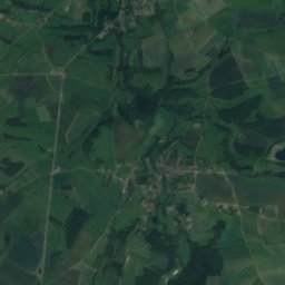
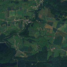
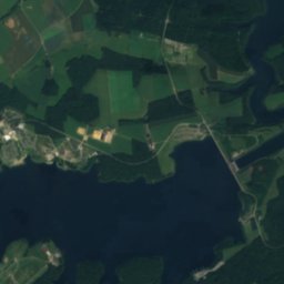
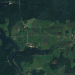
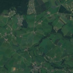
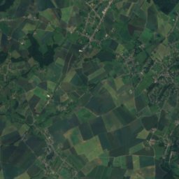
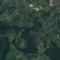
Thure from above

Nature nearbyAll of Belgium
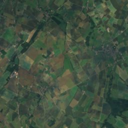
Photo: Jean-Pol GRANDMONT · CC BY-SA 3.0 · Wikimedia CommonsReport this photo · linked, not stored
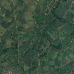
HantesRiver2.2 kmEHantes
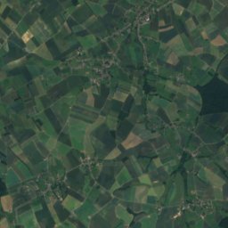
Photo: Jean-Pol GRANDMONT · CC BY 2.5 · Wikimedia CommonsReport this photo · linked, not stored
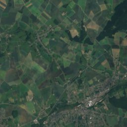
TrouilleRiver6.9 kmWTrouille
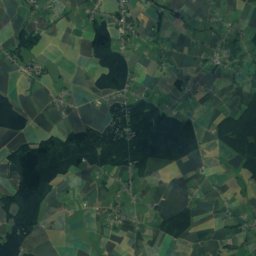
Photo: Grentidez · CC BY-SA 4.0 · Wikimedia CommonsReport this photo · linked, not stored
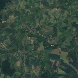
LaubacRiver9.1 kmNELaubac
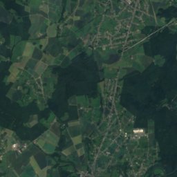
Photo: Havang(nl) · CC0 · Wikimedia CommonsReport this photo · linked, not stored
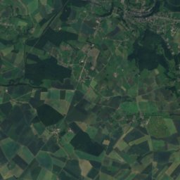
SolreRiver10 kmWSolre
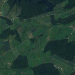
Satellite: Sentinel-2 cloudless 2016 by EOX IT Services GmbH · CC BY 4.0 · Contains modified Copernicus Sentinel data 2016
Lac de la Plate TailleLake21 kmSELac de la Plate Taille
Photo: Boerkevitz · Public domain · Wikimedia CommonsReport this photo · linked, not stored
Eau d'HeureRiver21 kmNEEau d'Heure
Stay nearby

Towns close by
Solre-sur-Sambre
Photo: Jean-Pol GRANDMONT · CC BY 2.0 · Wikimedia CommonsReport this photo · linked, not stored

Solre-sur-Sambre

Wallonia · 0.4 km SE
15°Oct high
13wet days
46score
Solre-sur-Sambre
Merbes-le-Château
Photo: Jean-Pol GRANDMONT · CC BY 2.5 · Wikimedia CommonsReport this photo · linked, not stored

Merbes-le-Château

Wallonia · 1.8 km NE
15°Oct high
13wet days
46score
Merbes-le-Château
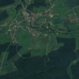
Satellite: Sentinel-2 cloudless 2016 by EOX IT Services GmbH · CC BY 4.0 · Contains modified Copernicus Sentinel data 2016

Labuissière

Wallonia · 2.3 km NE
15°Oct high
13wet days
46score
Labuissière
Erquelinnes
Photo: Jean-Pol GRANDMONT · CC BY 3.0 · Wikimedia CommonsReport this photo · linked, not stored

Erquelinnes

Wallonia · 2.9 km W
15°Oct high
13wet days
46score
Erquelinnes
Around here

Solre-sur-Sambre and around

Solre-sur-Sambre
Photo: Jean-Pol GRANDMONT · CC BY 2.0 · Wikimedia CommonsReport this photo · linked, not stored

Solre-sur-Sambre

Wallonia · Belgium
Jun–Jul · Sepbest months
24°July high
131 maltitude
Solre-sur-Sambre

Nature

Solre
Photo: Havang(nl) · CC0 · Wikimedia CommonsReport this photo · linked, not stored
10 km W

Solre

River
Solre
Hantes
Photo: Jean-Pol GRANDMONT · CC BY-SA 3.0 · Wikimedia CommonsReport this photo · linked, not stored
2.1 km NE

Hantes

River · 131 m
Hantes
Trouille
Photo: Jean-Pol GRANDMONT · CC BY 2.5 · Wikimedia CommonsReport this photo · linked, not stored
7.2 km W

Trouille

River · 26 m
Trouille

Heritage

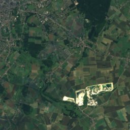
Satellite: Sentinel-2 cloudless 2016 by EOX IT Services GmbH · CC BY 4.0 · Contains modified Copernicus Sentinel data 2016
0.2 km NE

Solre-sur-Sambre Castle

protected heritage property in Wallonia
Solre-sur-Sambre Castle
Assevent French-German War Cemetery
Photo: Budotradan · Public domain · Wikimedia CommonsReport this photo · linked, not stored
9.8 km W

Assevent French-German War Cemetery

World Heritage Site · 1914
Assevent French-German War Cemetery
Bonne-Espérance Abbey
Photo: Jmh2o · CC BY-SA 4.0 · Wikimedia CommonsReport this photo · linked, not stored
8.7 km N

Bonne-Espérance Abbey

protected heritage property in Wallonia · 1130
Bonne-Espérance Abbey

Museums

ASVi museum
Photo: Smiley.toerist · CC BY-SA 3.0 · Wikimedia CommonsReport this photo · linked, not stored
9.6 km E

ASVi museum

Tramway museum
ASVi museum
Ouvrage La Salmagne
Photo: Havang(nl) · CC0 · Wikimedia CommonsReport this photo · linked, not stored
9.7 km W

Ouvrage La Salmagne

Military museum · 1934
Ouvrage La Salmagne
Musée Henri Boez
Photo: Upl14 · CC0 · Wikimedia CommonsReport this photo · linked, not stored
14 km W

Musée Henri Boez

1878
Musée Henri Boez