
Photo: Rafaël Delaedt (Arafi) · CC BY-SA 3.0 · Wikimedia Commons
NeteReport this photo · linked, not stored
NeteReport this photo · linked, not stored
 Kleine Nete
 Binnennete

Photo: Jean-Pol GRANDMONT · CC BY 2.0 · Wikimedia Commons
SenneReport this photo · linked, not stored
SenneSenneReport this photo · linked, not stored

Photo: Paul Hermans · CC BY-SA 3.0 · Wikimedia Commons
Dyle / DijleReport this photo · linked, not stored
Dyle / DijleDyle / DijleReport this photo · linked, not stored
RiverDuffel, Flanders
Nete
RiverBest May–Jun · Sep
Elevation–above sea level
Length14 kmsource to mouth
Nearest townDuffel0.3 km
51.10° N, 4.51° EUTC+2 · Central European Summer Time
When to goDuffel · weather score
Best timeMay–Jun · Sep
October: high / low16° / 8°
River
Nete in brief
Nete is a river in Duffel, Flanders, Belgium.
The nearest town in the atlas is Duffel, 0.3 km to the S, where the weather is best in May, June and September.
Nete is 14 km long.
Weather nearby now
Forecast for Duffel13°
Sunny now
Today
22 Oct
14°
7°
3 mm
Fri
23 Oct
13°
8°
12 mm
Sat
24 Oct
13°
7°
12 mm
Sun
25 Oct
15°
10°
19 mm
Mon
26 Oct
15°
8°
6 mm
Model run 00:00 UTCRefreshed several times a day
Map
Nete from above
Nature nearbyAll of Belgium


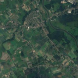
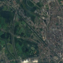
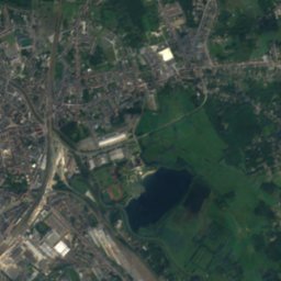
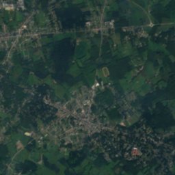
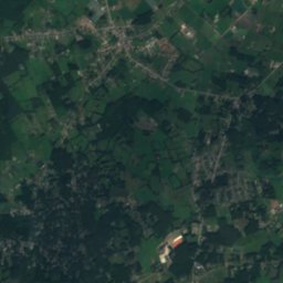
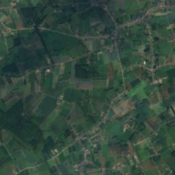
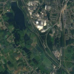
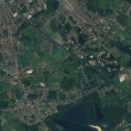
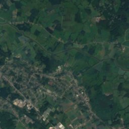
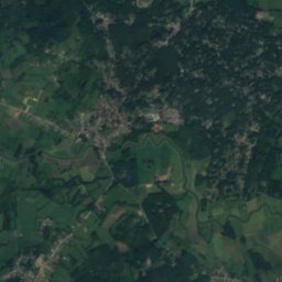
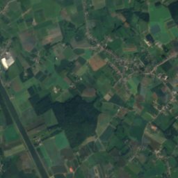
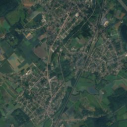
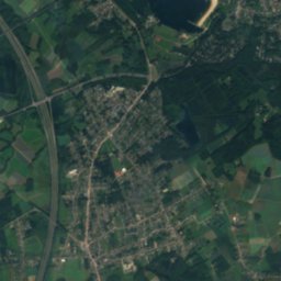
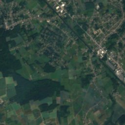
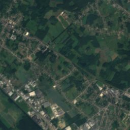
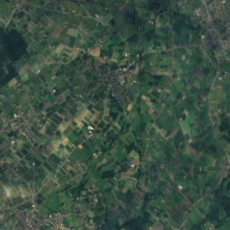
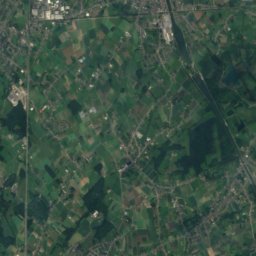
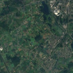
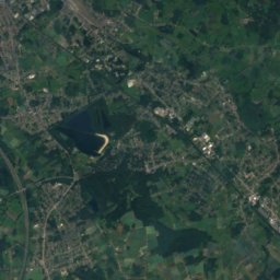
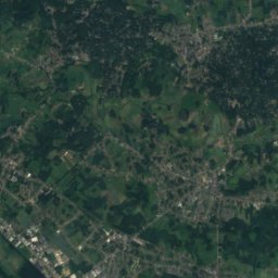
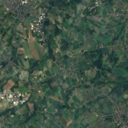
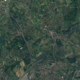
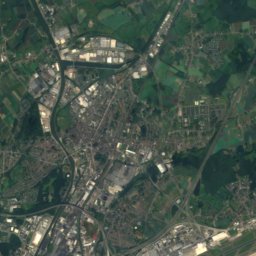
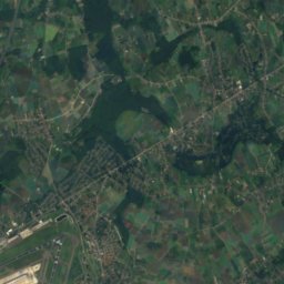
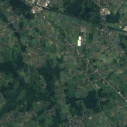
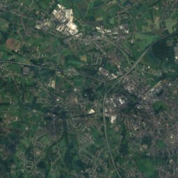
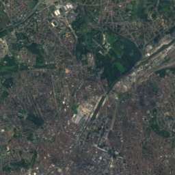
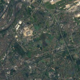
Satellite: Sentinel-2 cloudless 2016 by EOX IT Services GmbH · CC BY 4.0 · Contains modified Copernicus Sentinel data 2016
Summits nearbyMountains of Belgium
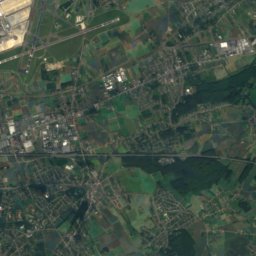
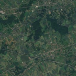
Stay nearby
Towns close by


Photo: Ad Meskens You are free to use this picture for any purpose as long as you credi · CC BY-SA 4.0 · Wikimedia CommonsReport this photo · linked, not stored
Lint
Flanders · 3.3 km N
15°Oct high
13wet days
50score
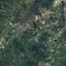
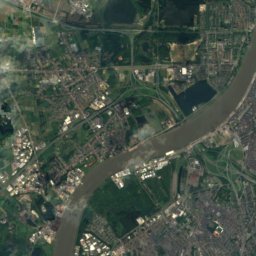
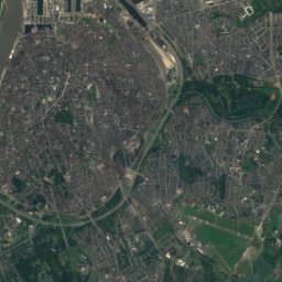
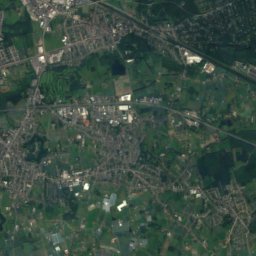
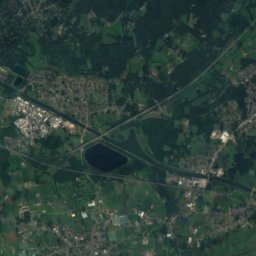
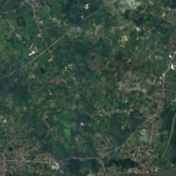
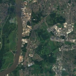
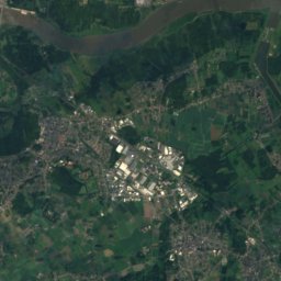
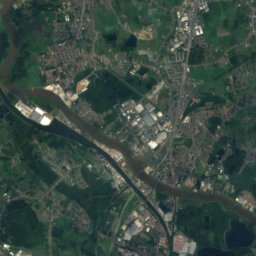
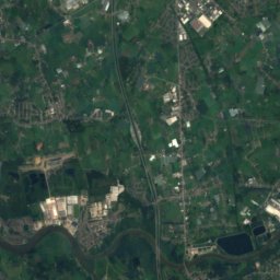
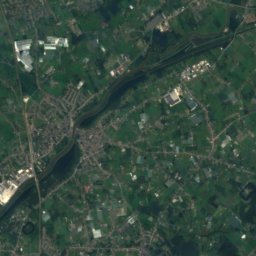
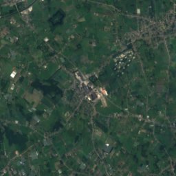
Satellite: Sentinel-2 cloudless 2016 by EOX IT Services GmbH · CC BY 4.0 · Contains modified Copernicus Sentinel data 2016
Waarloos
Flanders · 3.9 km W
15°Oct high
13wet days
50score

Around here
Duffel and around
Nature
Mountains
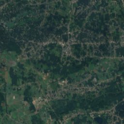
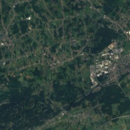
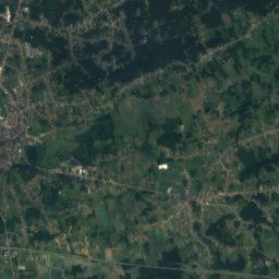
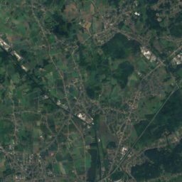
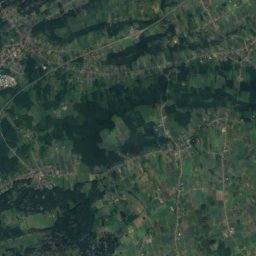
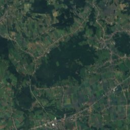
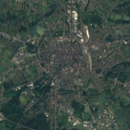
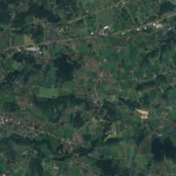
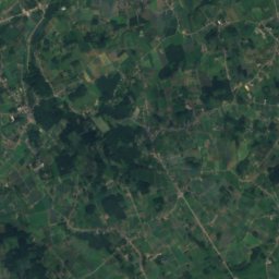
Satellite: Sentinel-2 cloudless 2016 by EOX IT Services GmbH · CC BY 4.0 · Contains modified Copernicus Sentinel data 2016
Speelberg
82 m
Satellite: Sentinel-2 cloudless 2016 by EOX IT Services GmbH · CC BY 4.0 · Contains modified Copernicus Sentinel data 2016
Gasthuisberg
78 m

Heritage

Satellite: Sentinel-2 cloudless 2016 by EOX IT Services GmbH · CC BY 4.0 · Contains modified Copernicus Sentinel data 2016
Sint-Martinuskerk, Duffel
beschermd monument · 1860
Satellite: Sentinel-2 cloudless 2016 by EOX IT Services GmbH · CC BY 4.0 · Contains modified Copernicus Sentinel data 2016
Kasteel Wouwendonk
vastgesteld bouwkundig erfgoed · 1850
Museums

Satellite: Sentinel-2 cloudless 2016 by EOX IT Services GmbH · CC BY 4.0 · Contains modified Copernicus Sentinel data 2016
Gemeentelijk museum Het Gasthuis


Satellite: Sentinel-2 cloudless 2016 by EOX IT Services GmbH · CC BY 4.0 · Contains modified Copernicus Sentinel data 2016