Skip to content
Destinations
Weather & climate
Nature
Outdoors
Culture
Events
Sky & live
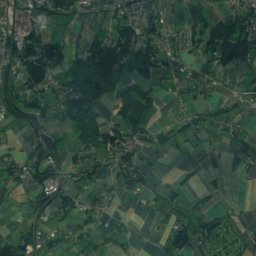
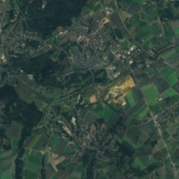
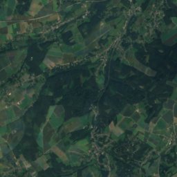
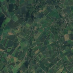
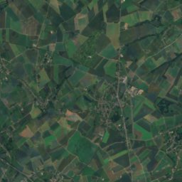
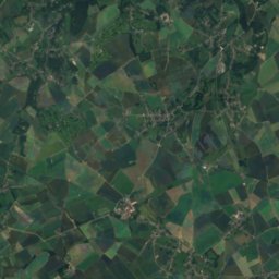
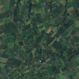
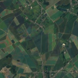
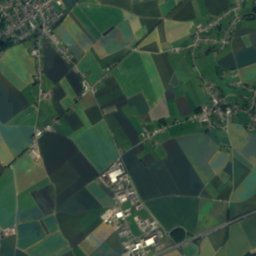
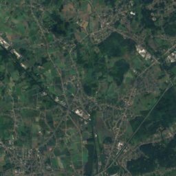
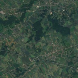
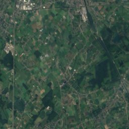
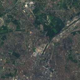
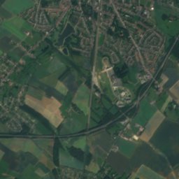
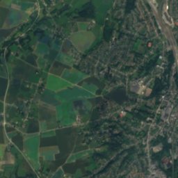
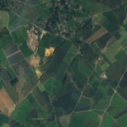
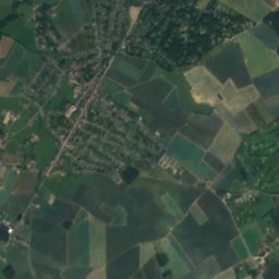
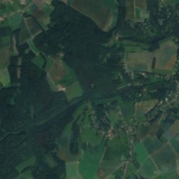
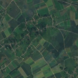
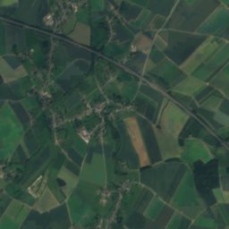
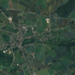
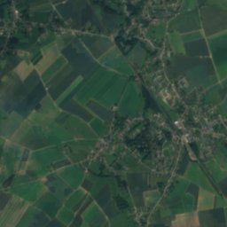
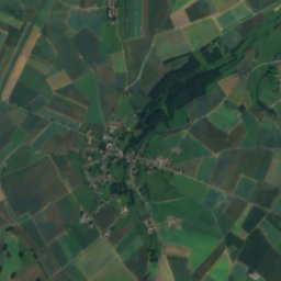
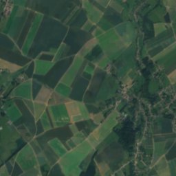
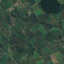
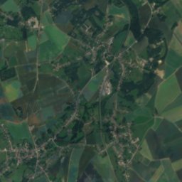
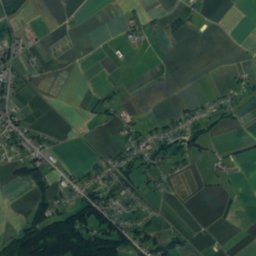
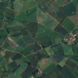
Satellite: Sentinel-2 cloudless 2016 by EOX IT Services GmbH · CC BY 4.0 · Contains modified Copernicus Sentinel data 2016
Orne
Photo: EmDee · CC BY-SA 3.0 · Wikimedia Commons
OrneReport this photo · linked, not stored
Orne
Thyle
Photo: LLN · CC BY-SA 3.0 · Wikimedia Commons
ThyleReport this photo · linked, not stored
Thyle
RiverTilly, Wallonia

Arbreuron

RiverBest May–Jun · Sep
Elevation–above sea level
Length35 kmsource to mouth
Nearest townTilly1.3 km
50.57° N, 4.55° EUTC+2 · Central European Summer Time
When to goTilly · weather score
JanFebMarAprMayJunJulAugSepOctNovDec46October
Best timeMay–Jun · Sep
October: high / low15° / 7°
River

Arbreuron in brief

Arbreuron is a river in Tilly, Wallonia, Belgium.

The nearest town in the atlas is Tilly, 1.3 km to the S, where the weather is best in May, June and September.

Arbreuron is 35 km long.

Tilly: weather and travel guide

Weather nearby now

Forecast for Tilly
10°
Cloudy now
Wind13 km/h
Humidity93%
Cloud cover81%
Today
22 Oct
12°
7°
3 mm
Fri
23 Oct
12°
7°
12 mm
Sat
24 Oct
12°
7°
13 mm
Sun
25 Oct
14°
9°
18 mm
Mon
26 Oct
15°
9°
9 mm

Model run 00:00 UTCRefreshed several times a day

When to go

The best months around Arbreuron

Climate of Tilly

Month score in Tilly

Comfort, dry days and sunshine · out of 100
15
Jan
20
Feb
26
Mar
55
Apr
65
May
66
Jun
64
Jul
65
Aug
70
Sep
46
Oct
16
Nov
14
Dec
Map

Arbreuron from above

Nature nearbyAll of Belgium
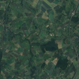
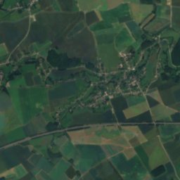
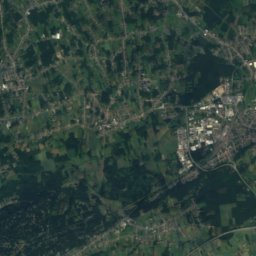
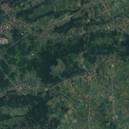
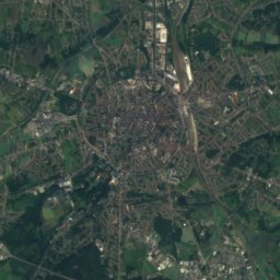
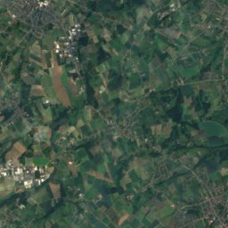
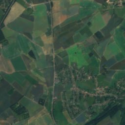
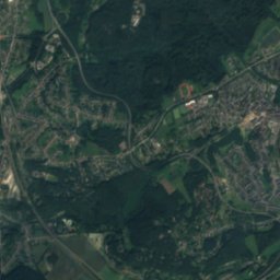
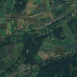
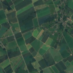
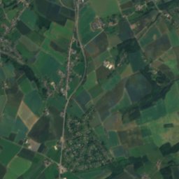
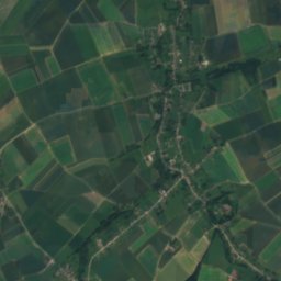
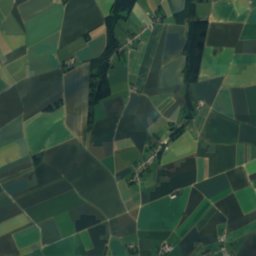
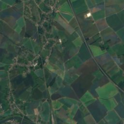
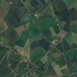
Satellite: Sentinel-2 cloudless 2016 by EOX IT Services GmbH · CC BY 4.0 · Contains modified Copernicus Sentinel data 2016
CalaRiver7.2 kmNCala
Photo: EmDee · CC BY-SA 3.0 · Wikimedia CommonsReport this photo · linked, not stored
OrneRiver8.0 kmNOrne
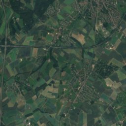
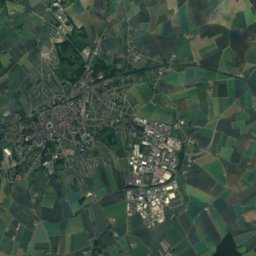
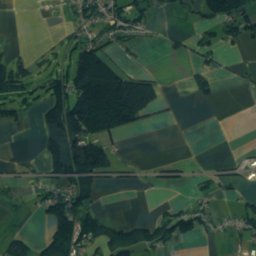
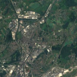
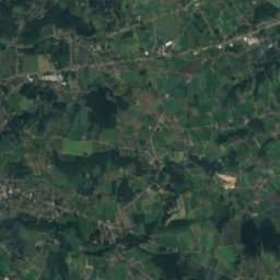
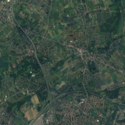
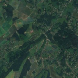
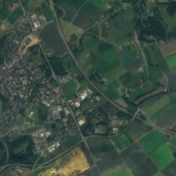
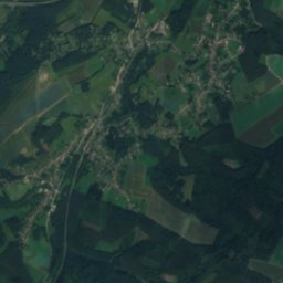
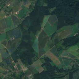
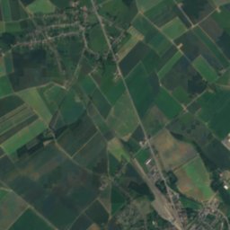
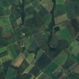
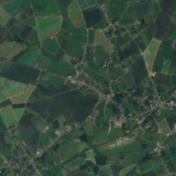
Satellite: Sentinel-2 cloudless 2016 by EOX IT Services GmbH · CC BY 4.0 · Contains modified Copernicus Sentinel data 2016
LovièresRiver8.3 kmNELovières
Photo: LLN · CC BY-SA 3.0 · Wikimedia CommonsReport this photo · linked, not stored
ThyleRiver8.4 kmNThyle
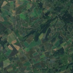
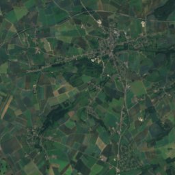
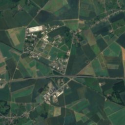
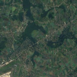
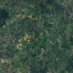
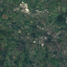
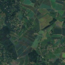
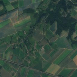
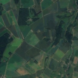
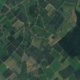
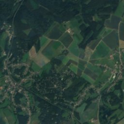
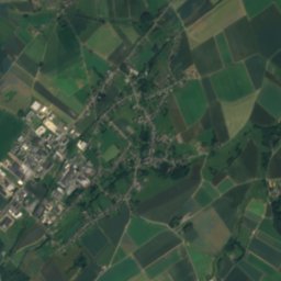
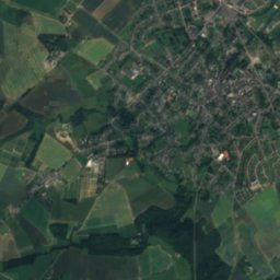
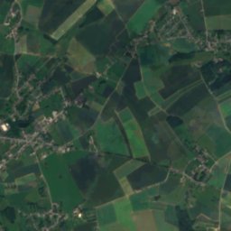
Satellite: Sentinel-2 cloudless 2016 by EOX IT Services GmbH · CC BY 4.0 · Contains modified Copernicus Sentinel data 2016
CorbaisRiver8.8 kmNECorbais
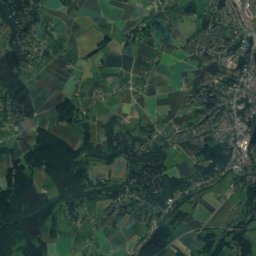
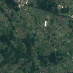
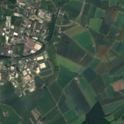
Satellite: Sentinel-2 cloudless 2016 by EOX IT Services GmbH · CC BY 4.0 · Contains modified Copernicus Sentinel data 2016
Ry AngonRiver9.6 kmNRy Angon
Stay nearby

Towns close by

Tilly
Photo: EmDee · CC BY-SA 3.0 · Wikimedia CommonsReport this photo · linked, not stored

Tilly

Wallonia · 1.3 km S
15°Oct high
13wet days
46score
Tilly
Villers-la-Ville
Photo: Jean-Pol GRANDMONT · CC BY 3.0 · Wikimedia CommonsReport this photo · linked, not stored

Villers-la-Ville

Wallonia · 1.5 km NW
15°Oct high
13wet days
47score
Villers-la-Ville
Satellite: Sentinel-2 cloudless 2016 by EOX IT Services GmbH · CC BY 4.0 · Contains modified Copernicus Sentinel data 2016

Sart-Dames-Avelines

Wallonia · 4.3 km W
15°Oct high
13wet days
46score
Sart-Dames-Avelines
Bousval
Photo: EmDee · CC BY-SA 3.0 · Wikimedia CommonsReport this photo · linked, not stored

Bousval

Wallonia · 5.9 km NW
15°Oct high
13wet days
47score
Bousval
Around here

Tilly and around

Tilly
Photo: EmDee · CC BY-SA 3.0 · Wikimedia CommonsReport this photo · linked, not stored

Tilly

Wallonia · Belgium
May–Jun · Sepbest months
24°July high
132 maltitude
Tilly

Nature

Thyle
Photo: LLN · CC BY-SA 3.0 · Wikimedia CommonsReport this photo · linked, not stored
9.6 km N

Thyle

River · 65 m
Thyle
Satellite: Sentinel-2 cloudless 2016 by EOX IT Services GmbH · CC BY 4.0 · Contains modified Copernicus Sentinel data 2016
10 km SE

Ligny

River
Ligny
Orne
Photo: EmDee · CC BY-SA 3.0 · Wikimedia CommonsReport this photo · linked, not stored
9.2 km N

Orne

River
Orne

Mountains

Satellite: Sentinel-2 cloudless 2016 by EOX IT Services GmbH · CC BY 4.0 · Contains modified Copernicus Sentinel data 2016
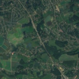
36 km N

Gasthuisberg

78 m
Gasthuisberg
Satellite: Sentinel-2 cloudless 2016 by EOX IT Services GmbH · CC BY 4.0 · Contains modified Copernicus Sentinel data 2016
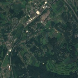
38 km N

Korenberg

35 m
Korenberg

Heritage

Satellite: Sentinel-2 cloudless 2016 by EOX IT Services GmbH · CC BY 4.0 · Contains modified Copernicus Sentinel data 2016
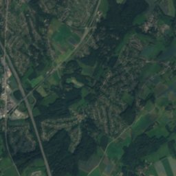
2.8 km SW

Chapelle Notre-Dame Auxiliatrice du Triolet

protected heritage property in Wallonia · 1756
Chapelle Notre-Dame Auxiliatrice du Triolet
Villers Abbey
Photo: Marc Ryckaert (MJJR) · CC BY 3.0 · Wikimedia CommonsReport this photo · linked, not stored
3.8 km NW

Villers Abbey

Exceptional heritage property of Wallonia · 1101
Villers Abbey
Gembloux Abbey
Photo: Unknown author · CC BY 2.5 · Wikimedia CommonsReport this photo · linked, not stored
9.9 km E

Gembloux Abbey

Exceptional heritage property of Wallonia
Gembloux Abbey

Museums

Musée Hergé
Photo: EmDee · CC BY-SA 4.0 · Wikimedia CommonsReport this photo · linked, not stored
13 km N

Musée Hergé

2009
Musée Hergé
Caillou Museum
Photo: EmDee · CC BY-SA 3.0 · Wikimedia CommonsReport this photo · linked, not stored
13 km NW

Caillou Museum

Military museum
Caillou Museum
Musée L
Photo: EmDee · CC BY-SA 4.0 · Wikimedia CommonsReport this photo · linked, not stored
13 km N

Musée L

1979
Musée L