Skip to content
Destinations
Weather & climate
Nature
Outdoors
Culture
Events
Sky & live
Viata
Photo: Alex A · CC BY 3.0 · Wikimedia Commons
ViataReport this photo · linked, not stored
Ciacierki Lake
Photo: zedlik · CC BY-SA 3.0 · Wikimedia Commons
Ciacierki LakeReport this photo · linked, not stored
Ciacierki Lake
Absterna
Photo: zedlik · CC BY-SA 3.0 · Wikimedia Commons
AbsternaReport this photo · linked, not stored
Absterna
Hłybokaje
Photo: zedlik · CC BY-SA 3.0 · Wikimedia Commons
HłybokajeReport this photo · linked, not stored
Hłybokaje
RiverPyerabroddzye, Vitebsk

Viata

River101 m elevationBest May · Jul · Sep
Elevation101 mabove sea level
Length31 kmsource to mouth
Nearest townPyerabroddzye4.7 km
55.66° N, 27.45° EElevation 101 mUTC+3 · Moscow Standard Time
When to goPyerabroddzye · weather score
JanFebMarAprMayJunJulAugSepOctNovDec16October
Best timeMay · Jul · Sep
October: high / low10° / 3°
River

Viata in brief

Viata is a river in Pyerabroddzye, Vitebsk, Belarus.

It lies at 101 m above sea level.

The nearest town in the atlas is Pyerabroddzye, 4.7 km to the SW, where the weather is best in May, July and September.

Viata is 31 km long.

Pyerabroddzye: weather and travel guide

Weather nearby now

Forecast for Pyerabroddzye
12°
Cloudy now
Wind17 km/h
Humidity69%
Cloud cover100%
Today
22 Oct
14°
8°
Fri
23 Oct
12°
8°
2 mm
Sat
24 Oct
13°
5°
Sun
25 Oct
15°
9°
2 mm
Mon
26 Oct
12°
8°
5 mm

Model run 00:00 UTCRefreshed several times a day

The course of the river

As mapped in OpenStreetMap, with the towns of the atlas along its banks.
sourcemouth (or where the mapped line leaves the country)
When to go

The best months around Viata

Climate of Pyerabroddzye

Month score in Pyerabroddzye

Comfort, dry days and sunshine · out of 100
10
Jan
16
Feb
23
Mar
33
Apr
68
May
64
Jun
65
Jul
65
Aug
69
Sep
16
Oct
10
Nov
9
Dec
Map

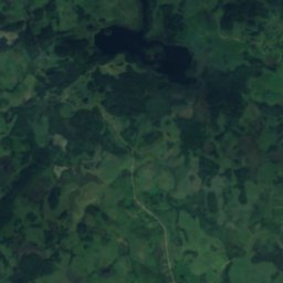
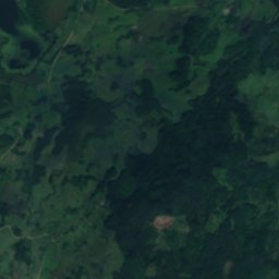
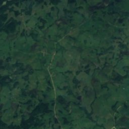
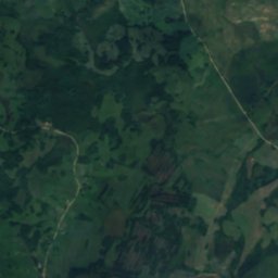
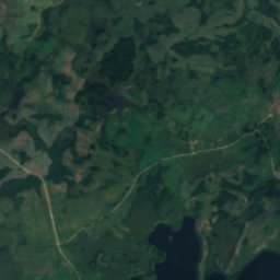
Viata from above

Nature nearbyAll of Belarus
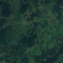
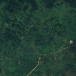
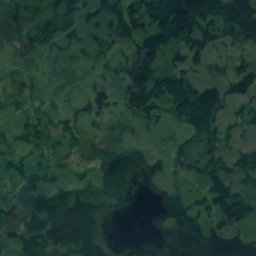
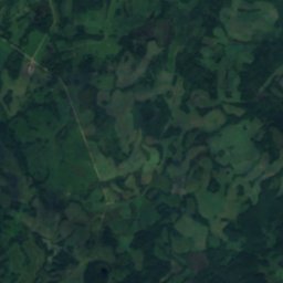
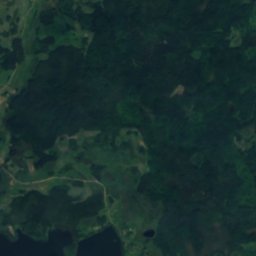
Satellite: Sentinel-2 cloudless 2016 by EOX IT Services GmbH · CC BY 4.0 · Contains modified Copernicus Sentinel data 2016
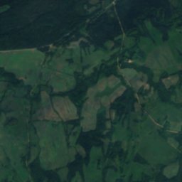
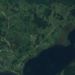
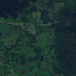
HalčycaRiver3.0 kmEHalčyca
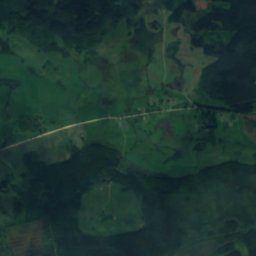
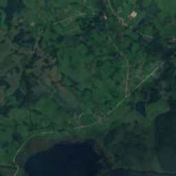
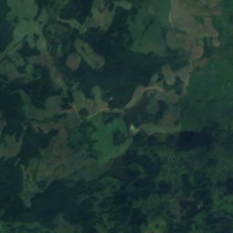
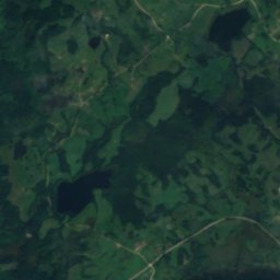
Satellite: Sentinel-2 cloudless 2016 by EOX IT Services GmbH · CC BY 4.0 · Contains modified Copernicus Sentinel data 2016
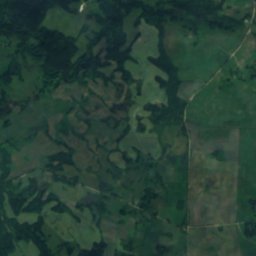
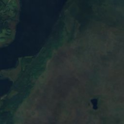
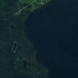
Aĺchoŭka, VitebskLake6.3 kmNAĺchoŭka, Vitebsk
Photo: zedlik · CC BY-SA 3.0 · Wikimedia CommonsReport this photo · linked, not stored
Ciacierki LakeLake6.7 kmSCiacierki Lake
Photo: zedlik · CC BY-SA 3.0 · Wikimedia CommonsReport this photo · linked, not stored
AbsternaLake6.7 kmSWAbsterna
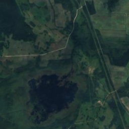
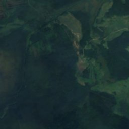
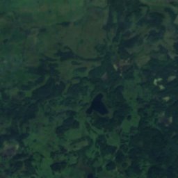
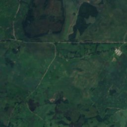
Satellite: Sentinel-2 cloudless 2016 by EOX IT Services GmbH · CC BY 4.0 · Contains modified Copernicus Sentinel data 2016
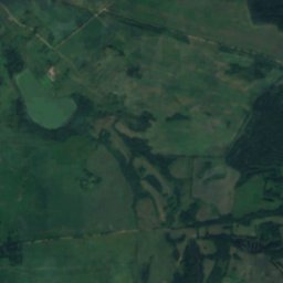
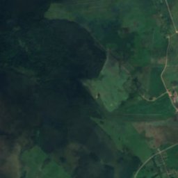
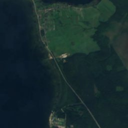
HaruškaLake6.8 kmWHaruška
Photo: zedlik · CC BY-SA 3.0 · Wikimedia CommonsReport this photo · linked, not stored
HłybokajeLake7.1 kmSHłybokaje
Stay nearby

Towns close by

Pyerabroddzye
Photo: Иван Бай · CC BY-SA 3.0 · Wikimedia CommonsReport this photo · linked, not stored

Pyerabroddzye

Vitebsk · 4.7 km SW
10°Oct high
16wet days
16score
Pyerabroddzye
Miory
Photo: Andrey Kukharenko from Gomel, Belarus · CC BY 2.0 · Wikimedia CommonsReport this photo · linked, not stored

Miory

Vitebsk · 12 km E
10°Oct high
16wet days
16score
Miory
Ikazń
Photo: zedlik · CC BY-SA 3.0 · Wikimedia CommonsReport this photo · linked, not stored

Ikazń

Vitebsk · 12 km W
10°Oct high
16wet days
16score
Ikazń
Druya
Photo: Иван Бай · CC BY-SA 3.0 · Wikimedia CommonsReport this photo · linked, not stored

Druya

Vitebsk · 15 km N
10°Oct high
16wet days
16score
Druya
Around here

Pyerabroddzye and around

Pyerabroddzye
Photo: Иван Бай · CC BY-SA 3.0 · Wikimedia CommonsReport this photo · linked, not stored

Pyerabroddzye

Vitebsk · Belarus
May · Jul · Sepbest months
24°July high
136 maltitude
Pyerabroddzye

Nature

Lake Ikazn
Photo: zedlik · CC BY-SA 3.0 · Wikimedia CommonsReport this photo · linked, not stored
6.8 km W

Lake Ikazn

Lake · 146 m
Lake Ikazn
Absterna
Photo: zedlik · CC BY-SA 3.0 · Wikimedia CommonsReport this photo · linked, not stored
2.0 km SW

Absterna

Lake · 137 m
Absterna
Uklia
Photo: Alenka Elk · CC BY-SA 4.0 · Wikimedia CommonsReport this photo · linked, not stored
6.6 km SW

Uklia

Lake · 137 m
Uklia

Heritage

Church of the Assumption of the Blessed Virgin Mary in Miory
Photo: zedlik · CC BY-SA 3.0 · Wikimedia CommonsReport this photo · linked, not stored
15 km E

Church of the Assumption of the Blessed Virgin Mary in Miory

Cultural heritage of Belarus · 1907
Church of the Assumption of the Blessed Virgin Mary in Miory
Assumption Church
Photo: Галляш Сялява · CC BY-SA 4.0 · Wikimedia CommonsReport this photo · linked, not stored
3.3 km NW

Assumption Church

Cultural heritage of Belarus · 1906
Assumption Church
Manor of Mirscy in Kamianpolle
Photo: Nashka1205 · CC BY-SA 3.0 · Wikimedia CommonsReport this photo · linked, not stored
9.4 km E

Manor of Mirscy in Kamianpolle

Cultural heritage of Belarus · 1873
Manor of Mirscy in Kamianpolle

Museums

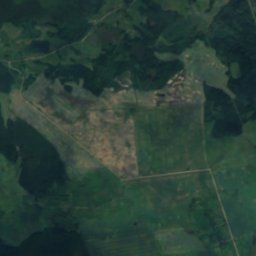
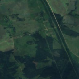
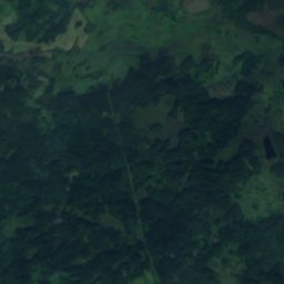
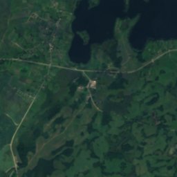
Satellite: Sentinel-2 cloudless 2016 by EOX IT Services GmbH · CC BY 4.0 · Contains modified Copernicus Sentinel data 2016
15 km E

Міёрскі гісторыка-этнаграфічны музей

1983
Міёрскі гісторыка-этнаграфічны музей