Skip to content
Destinations
Weather & climate
Nature
Outdoors
Culture
Events
Sky & live
Usha
Photo: Da voli · CC BY-SA 3.0 · Wikimedia Commons
UshaReport this photo · linked, not stored
Volma, Gorodishche
Photo: Da voli · CC BY-SA 3.0 · Wikimedia Commons
Volma, GorodishcheReport this photo · linked, not stored
Volma, Gorodishche
Plisa, tributary of Berezina
Photo: Zelyoniy.anton · CC BY-SA 4.0 · Wikimedia Commons
Plisa, tributary of BerezinaReport this photo · linked, not stored
Plisa, tributary of Berezina
Sloŭst
Photo: LEhAN · CC BY-SA 4.0 · Wikimedia Commons
SloŭstReport this photo · linked, not stored
Sloŭst
RiverSlabada, Minsk

Usha

RiverBest Jul–Sep
Elevation–above sea level
Length89 kmsource to mouth
Nearest townSlabada9.1 km
53.94° N, 27.97° EUTC+3 · Moscow Standard Time
When to goSlabada · weather score
JanFebMarAprMayJunJulAugSepOctNovDec21October
Best timeJul–Sep
October: high / low10° / 3°
River

Usha in brief

Usha is a river in Slabada, Minsk, Belarus.

The nearest town is Slabada, 9.1 km to the NW, where the weather is best in July, August and September.

Usha is 89 km long.

Slabada: weather and travel guide

Weather nearby now

Forecast for Slabada
10°
Cloudy now
Wind4 km/h
Humidity93%
Cloud cover100%
Today
27 Oct
13°
8°
Wed
28 Oct
12°
5°
Thu
29 Oct
12°
4°
Fri
30 Oct
12°
2°
Sat
31 Oct
9°
4°
1 mm

Model run 00:00 UTCRefreshed several times a day

The course of the river

As mapped in OpenStreetMap, with the towns along its banks.
sourcemouth (or where the mapped line leaves the country)
When to go

The best months around Usha

Climate of Slabada

Month score in Slabada

Comfort, dry days and sunshine · out of 100
13
Jan
18
Feb
23
Mar
43
Apr
64
May
64
Jun
65
Jul
68
Aug
70
Sep
21
Oct
14
Nov
14
Dec
Map

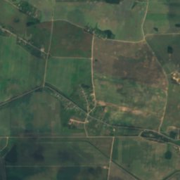
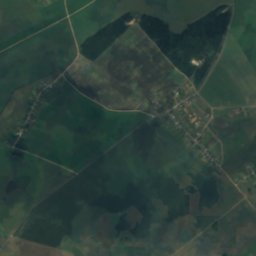
Usha from above

Nature nearbyAll of Belarus
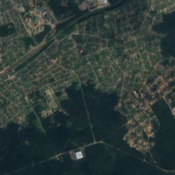
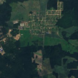
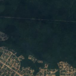
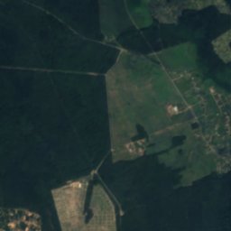
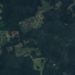
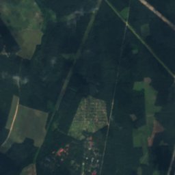
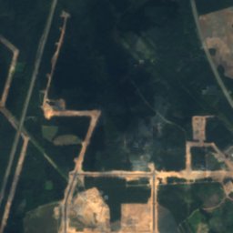
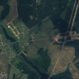
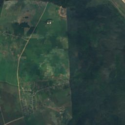
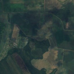
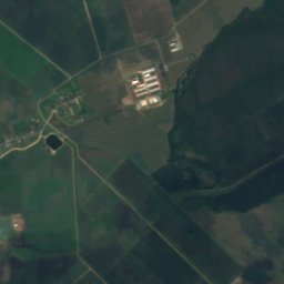
Satellite: Sentinel-2 cloudless 2016 by EOX IT Services GmbH · CC BY 4.0 · Contains modified Copernicus Sentinel data 2016
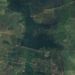
HliebkaŭkaRiver6.4 kmSWHliebkaŭka
Photo: Da voli · CC BY-SA 3.0 · Wikimedia CommonsReport this photo · linked, not stored
Volma, GorodishcheRiver7.8 kmNWVolma, Gorodishche
Photo: Zelyoniy.anton · CC BY-SA 4.0 · Wikimedia CommonsReport this photo · linked, not stored
Plisa, tributary of BerezinaRiver8.4 kmNWPlisa, tributary of Berezina
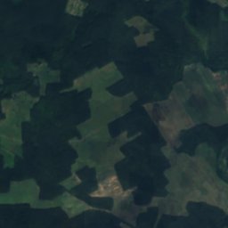
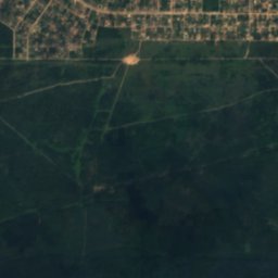
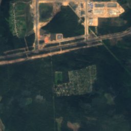
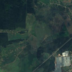
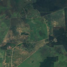
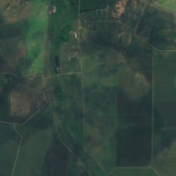
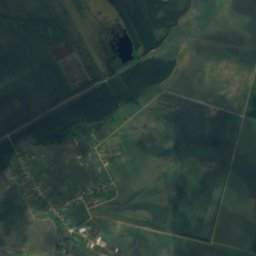
Satellite: Sentinel-2 cloudless 2016 by EOX IT Services GmbH · CC BY 4.0 · Contains modified Copernicus Sentinel data 2016
Piatrovickaje ReservoirLake8.8 kmSPiatrovickaje Reservoir
Photo: LEhAN · CC BY-SA 4.0 · Wikimedia CommonsReport this photo · linked, not stored
SloŭstRiver13 kmSWSloŭst
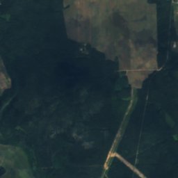
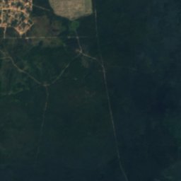
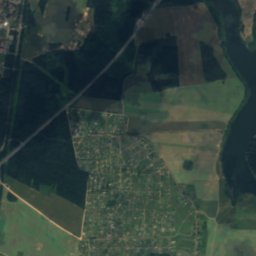
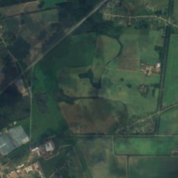
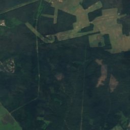
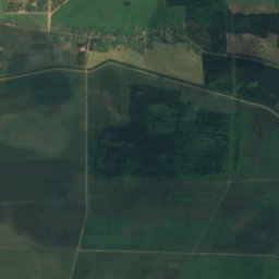
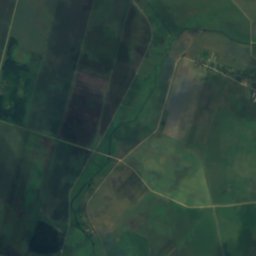
Satellite: Sentinel-2 cloudless 2016 by EOX IT Services GmbH · CC BY 4.0 · Contains modified Copernicus Sentinel data 2016
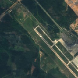
VožaRiver16 kmSVoža
Stay nearby

Towns close by

Slabada
Photo: Zelyoniy.anton · CC BY-SA 3.0 · Wikimedia CommonsReport this photo · linked, not stored

Slabada

Minsk · 9.1 km NW
10°Oct high
13wet days
21score
Slabada
Gorodishche
Photo: Zelyoniy.anton · CC BY-SA 3.0 · Wikimedia CommonsReport this photo · linked, not stored

Gorodishche

Minsk · 9.5 km NW
10°Oct high
12wet days
22score
Gorodishche
Kalodzishchy
Photo: Andrej Kuźniečyk · CC BY-SA 3.0 · Wikimedia CommonsReport this photo · linked, not stored

Kalodzishchy

Minsk · 12 km W
10°Oct high
12wet days
21score
Kalodzishchy
Korolëv Stan
Photo: Zelyoniy.anton · CC BY-SA 3.0 · Wikimedia CommonsReport this photo · linked, not stored

Korolëv Stan

Minsk · 12 km NW
10°Oct high
12wet days
23score
Korolëv Stan
Around here

Slabada and around

Slabada
Photo: Zelyoniy.anton · CC BY-SA 3.0 · Wikimedia CommonsReport this photo · linked, not stored

Slabada

Minsk · Belarus
Jul–Sepbest months
24°July high
205 maltitude
Slabada

Nature

Plisa, tributary of Berezina
Photo: Zelyoniy.anton · CC BY-SA 4.0 · Wikimedia CommonsReport this photo · linked, not stored
0.7 km S

Plisa, tributary of Berezina

River
Plisa, tributary of Berezina
Volma, Gorodishche
Photo: Da voli · CC BY-SA 3.0 · Wikimedia CommonsReport this photo · linked, not stored
4.1 km SW

Volma, Gorodishche

River
Volma, Gorodishche
Dubraŭskaje Reservoir
Photo: Viktar Pałściuk · CC BY-SA 2.5 · Wikimedia CommonsReport this photo · linked, not stored
10 km NW

Dubraŭskaje Reservoir

Lake · 192 m
Dubraŭskaje Reservoir

Mountains

Lysaja
Photo: Da voli · CC BY-SA 4.0 · Wikimedia CommonsReport this photo · linked, not stored
29 km NW

Lysaja

342 m · Lahojsk highland
Lysaja

Heritage

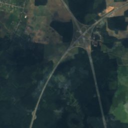
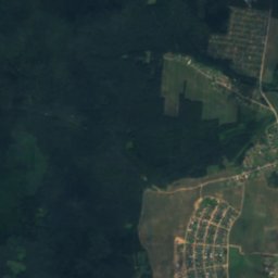
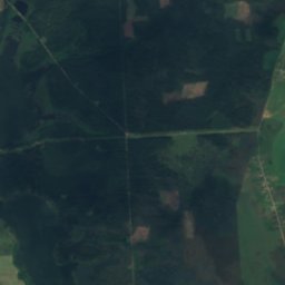
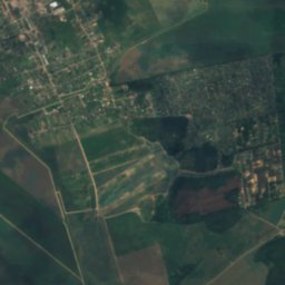
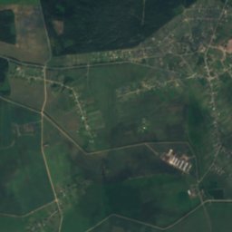
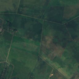
Satellite: Sentinel-2 cloudless 2016 by EOX IT Services GmbH · CC BY 4.0 · Contains modified Copernicus Sentinel data 2016
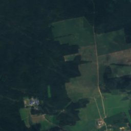
1.4 km NE

Mound of Glory

Cultural heritage of Belarus · 1969
Mound of Glory
Satellite: Sentinel-2 cloudless 2016 by EOX IT Services GmbH · CC BY 4.0 · Contains modified Copernicus Sentinel data 2016
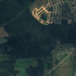
11 km NW

Church of St. Matthew the Apostle

Cultural heritage of Belarus · 1862
Church of St. Matthew the Apostle

Museums

Museum of Belarusian Folk Art
Photo: Chizhik Artyom · CC BY-SA 3.0 · Wikimedia CommonsReport this photo · linked, not stored
11 km NW

Museum of Belarusian Folk Art

1979
Museum of Belarusian Folk Art