

Photo: Šarūnas Šimkus · Public domain · Wikimedia Commons
Bedugnis, DubičiaiReport this photo · linked, not stored
Bedugnis, DubičiaiBedugnis, DubičiaiReport this photo · linked, not stored

Photo: Šarūnas Šimkus & Onutė Grigaitė · Public domain · Wikimedia Commons
Tabalis, DubičiaiReport this photo · linked, not stored
Tabalis, DubičiaiTabalis, DubičiaiReport this photo · linked, not stored
RiverZabolot’, Grodnenskaya
Ūla
RiverBest Jul–Sep
Elevation–above sea level
Length84 kmsource to mouth
Nearest townZabolot’5.4 km
53.95° N, 24.87° EUTC+3 · Moscow Standard Time
When to goZabolot’ · weather score
Best timeJul–Sep
October: high / low11° / 4°
River
Ūla in brief
Ūla is a river in Zabolot’, Grodnenskaya, Belarus.
The nearest town is Zabolot’, 5.4 km to the SW, where the weather is best in July, August and September.
Ūla is 84 km long.
Weather nearby now
Forecast for Zabolot’3°
Cloudy now
Today
27 Oct
12°
2°
Wed
28 Oct
14°
3°
Thu
29 Oct
13°
3°
1 mm
Fri
30 Oct
12°
6°
Sat
31 Oct
11°
6°
Model run 12:00 UTCRefreshed several times a day
When to go
Climate of Zabolot’The best months around Ūla
Month score in Zabolot’
Comfort, dry days and sunshine · out of 10013
Jan
19
Feb
23
Mar
47
Apr
64
May
64
Jun
65
Jul
69
Aug
71
Sep
28
Oct
14
Nov
13
Dec
Map
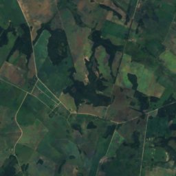
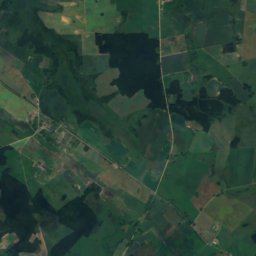
Ūla from above
Nature nearbyAll of Belarus
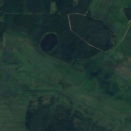
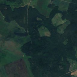
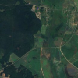
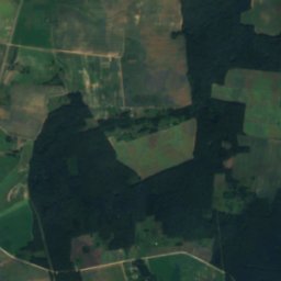
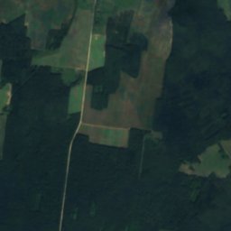
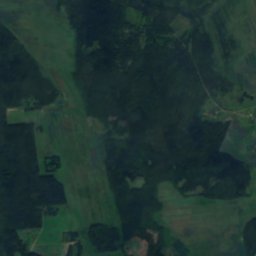
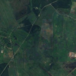
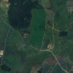
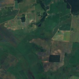
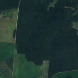
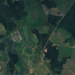
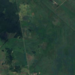
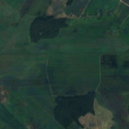
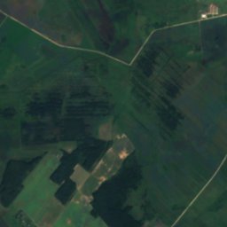
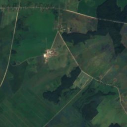
Satellite: Sentinel-2 cloudless 2016 by EOX IT Services GmbH · CC BY 4.0 · Contains modified Copernicus Sentinel data 2016
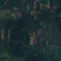
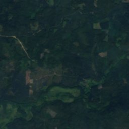
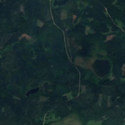
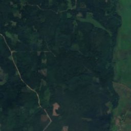
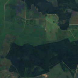
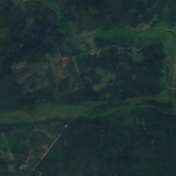
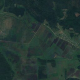
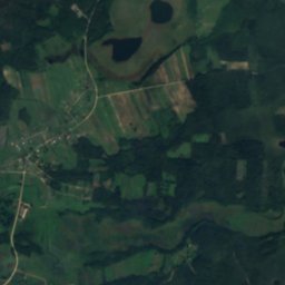
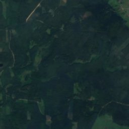
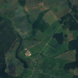
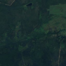
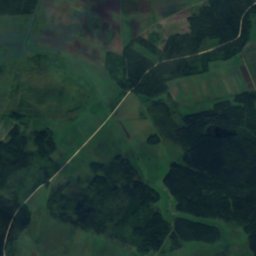
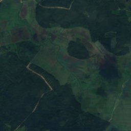
Satellite: Sentinel-2 cloudless 2016 by EOX IT Services GmbH · CC BY 4.0 · Contains modified Copernicus Sentinel data 2016
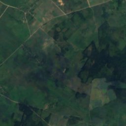
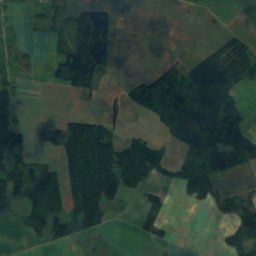
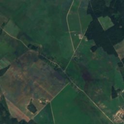
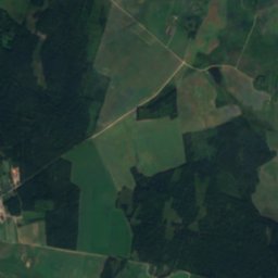
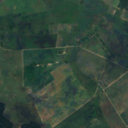
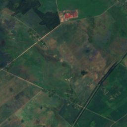
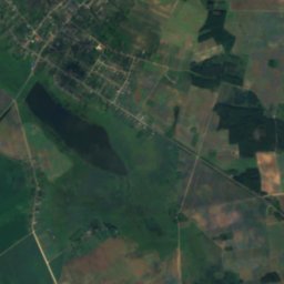
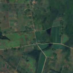
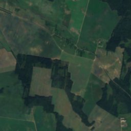
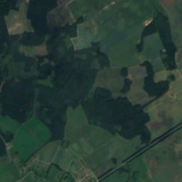
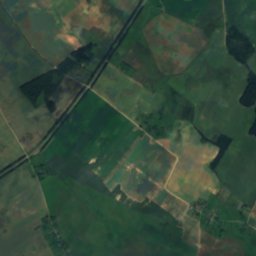
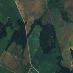
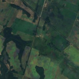
Satellite: Sentinel-2 cloudless 2016 by EOX IT Services GmbH · CC BY 4.0 · Contains modified Copernicus Sentinel data 2016

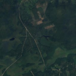
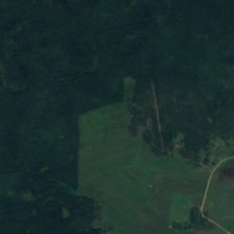
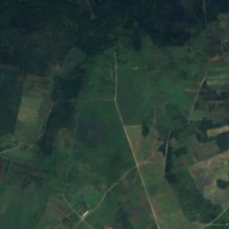
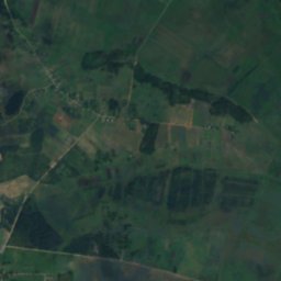
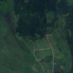
Satellite: Sentinel-2 cloudless 2016 by EOX IT Services GmbH · CC BY 4.0 · Contains modified Copernicus Sentinel data 2016

Photo: Šarūnas Šimkus & Onutė Grigaitė · Public domain · Wikimedia CommonsReport this photo · linked, not stored
Stay nearby
Towns close by
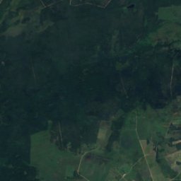
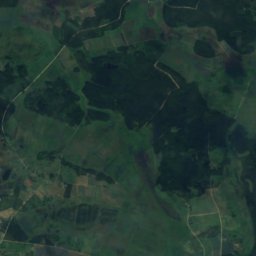
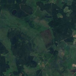
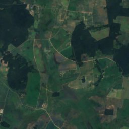
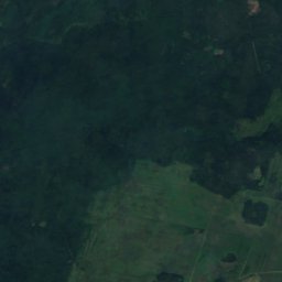
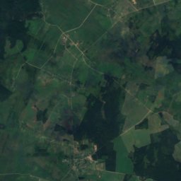
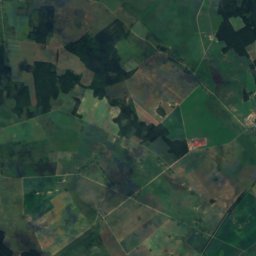
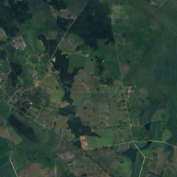
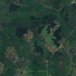
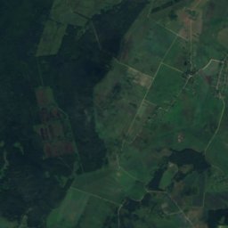
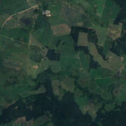
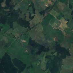
Satellite: Sentinel-2 cloudless 2016 by EOX IT Services GmbH · CC BY 4.0 · Contains modified Copernicus Sentinel data 2016
Zabolot’
Grodnenskaya · 5.4 km SW
11°Oct high
12wet days
28score


Around here
Zabolot’ and around
Nature
Photo: Šarūnas Šimkus & Onutė Grigaitė · Public domain · Wikimedia CommonsReport this photo · linked, not stored
Tabalis, Dubičiai
Lake
Satellite: Sentinel-2 cloudless 2016 by EOX IT Services GmbH · CC BY 4.0 · Contains modified Copernicus Sentinel data 2016
Skarbianka
River · 133 m
Heritage


Satellite: Sentinel-2 cloudless 2016 by EOX IT Services GmbH · CC BY 4.0 · Contains modified Copernicus Sentinel data 2016
Касцёл Найсвяцейшай Тройцы, Забалаць
Cultural heritage of Belarus · 1803