Skip to content
Destinations
Weather & climate
Nature
Outdoors
Culture
Events
Sky & live
Obaĺ
Photo: Szeder László · CC BY-SA 3.0 · Wikimedia Commons
ObaĺReport this photo · linked, not stored
Turaŭlianka
Photo: Da voli · Public domain · Wikimedia Commons
TuraŭliankaReport this photo · linked, not stored
Turaŭlianka
RiverBahatyrskaya, Vitebsk

Obaĺ

RiverBest May · Jul–Aug
Elevation–above sea level
Length148 kmsource to mouth
Nearest townBahatyrskaya16 km
55.40° N, 29.03° EUTC+3 · Moscow Standard Time
When to goBahatyrskaya · weather score
JanFebMarAprMayJunJulAugSepOctNovDec17October
Best timeMay · Jul–Aug
October: high / low10° / 3°
River

Obaĺ in brief

Obaĺ is a river in Bahatyrskaya, Vitebsk, Belarus.

The nearest town is Bahatyrskaya, 16 km to the NW, where the weather is best in May, July and August.

Obaĺ is 148 km long.

Bahatyrskaya: weather and travel guide

Weather nearby now

Forecast for Bahatyrskaya
10°
Cloudy now
Wind15 km/h
Humidity97%
Cloud cover100%
Today
25 Oct
14°
9°
3 mm
Mon
26 Oct
13°
9°
2 mm
Tue
27 Oct
13°
6°
Wed
28 Oct
13°
5°
Thu
29 Oct
12°
4°

Model run 12:00 UTCRefreshed several times a day

The course of the river

As mapped in OpenStreetMap, with the towns along its banks.
12
  1. 1Yezerishche163 m
  2. 2Obaĺ129 m
sourcemouth (or where the mapped line leaves the country)
When to go

The best months around Obaĺ

Climate of Bahatyrskaya

Month score in Bahatyrskaya

Comfort, dry days and sunshine · out of 100
10
Jan
18
Feb
21
Mar
39
Apr
65
May
64
Jun
65
Jul
65
Aug
64
Sep
17
Oct
10
Nov
9
Dec
Map

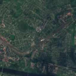
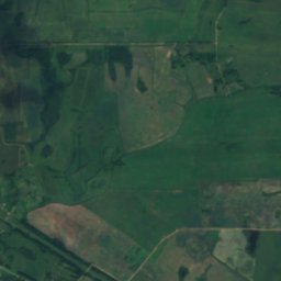
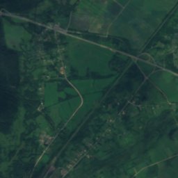
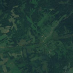
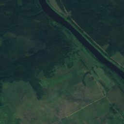
Obaĺ from above

Nature nearbyAll of Belarus
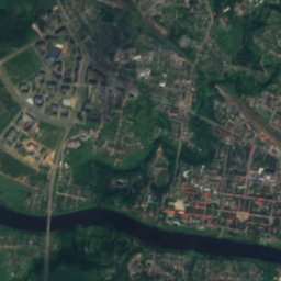
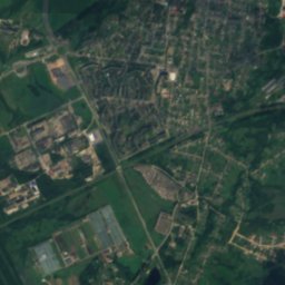
Satellite: Sentinel-2 cloudless 2016 by EOX IT Services GmbH · CC BY 4.0 · Contains modified Copernicus Sentinel data 2016
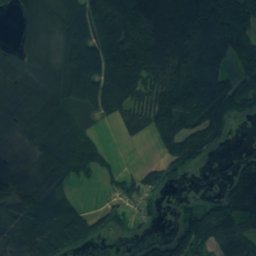
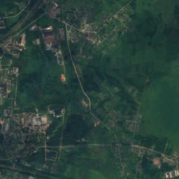
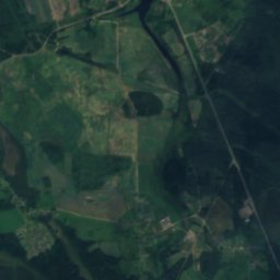
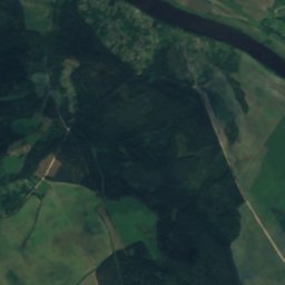
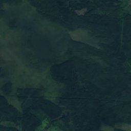
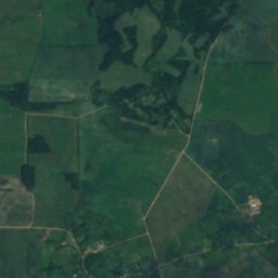
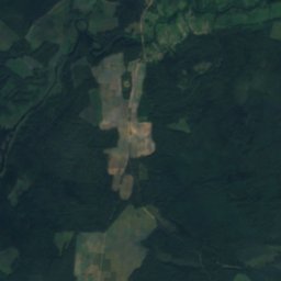
SomnicaRiver11 kmNWSomnica
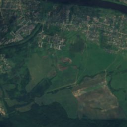
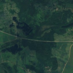
Satellite: Sentinel-2 cloudless 2016 by EOX IT Services GmbH · CC BY 4.0 · Contains modified Copernicus Sentinel data 2016
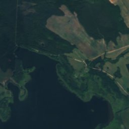
Doŭhaje, ObaĺLake11 kmSDoŭhaje, Obaĺ
Photo: Da voli · Public domain · Wikimedia CommonsReport this photo · linked, not stored
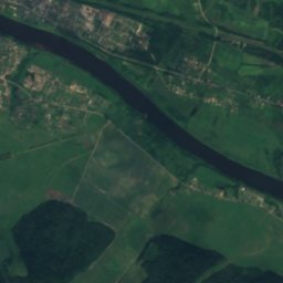
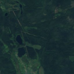
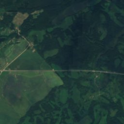
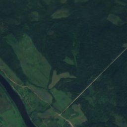
TuraŭliankaRiver12 kmSWTuraŭlianka
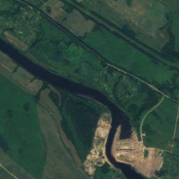
Satellite: Sentinel-2 cloudless 2016 by EOX IT Services GmbH · CC BY 4.0 · Contains modified Copernicus Sentinel data 2016
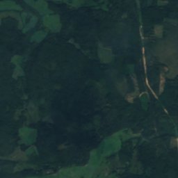
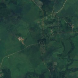
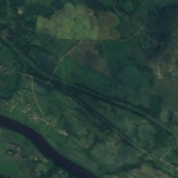
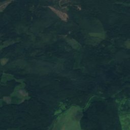
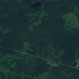
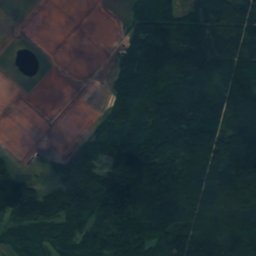
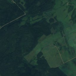
TrosnicaRiver12 kmNWTrosnica
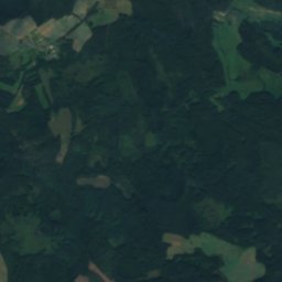
Satellite: Sentinel-2 cloudless 2016 by EOX IT Services GmbH · CC BY 4.0 · Contains modified Copernicus Sentinel data 2016
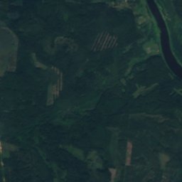
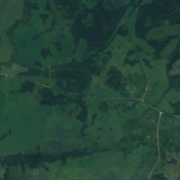
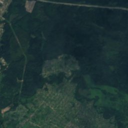
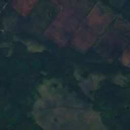
MuravetsRiver12 kmSMuravets
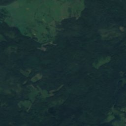
Satellite: Sentinel-2 cloudless 2016 by EOX IT Services GmbH · CC BY 4.0 · Contains modified Copernicus Sentinel data 2016
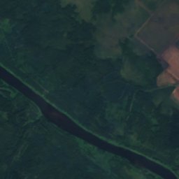
StrunkaRiver12 kmNWStrunka
Stay nearby

Towns close by

Bahatyrskaya
Photo: Иван Бай · CC BY-SA 3.0 · Wikimedia CommonsReport this photo · linked, not stored

Bahatyrskaya

Vitebsk · 16 km NW
10°Oct high
14wet days
17score
Bahatyrskaya
Obaĺ
Photo: Szeder László · CC BY-SA 3.0 · Wikimedia CommonsReport this photo · linked, not stored

Obaĺ

Vitebsk · 17 km E
10°Oct high
14wet days
17score
Obaĺ
Polotsk
Photo: Belarus2578 · CC BY-SA 4.0 · Wikimedia CommonsReport this photo · linked, not stored

Polotsk

Vitebsk · 18 km NW
10°Oct high
14wet days
17score
Polotsk
Zaskarki
Photo: Иван Бай · CC BY-SA 3.0 · Wikimedia CommonsReport this photo · linked, not stored

Zaskarki

Vitebsk · 24 km W
10°Oct high
17wet days
16score
Zaskarki
Around here

Bahatyrskaya and around

Bahatyrskaya
Photo: Иван Бай · CC BY-SA 3.0 · Wikimedia CommonsReport this photo · linked, not stored

Bahatyrskaya

Vitebsk · Belarus
May · Jul–Augbest months
24°July high
128 maltitude
Bahatyrskaya

Nature

Ropna
Photo: Иван Бай · CC BY-SA 3.0 · Wikimedia CommonsReport this photo · linked, not stored
9.4 km NW

Ropna

Lake · 124 m
Ropna
Bieĺčyca
Photo: Alex A · CC BY 3.0 · Wikimedia CommonsReport this photo · linked, not stored
4.8 km SW

Bieĺčyca

River
Bieĺčyca
Bieckaje
Photo: Alex A · CC BY 3.0 · Wikimedia CommonsReport this photo · linked, not stored
11 km SW

Bieckaje

Lake · 128 m
Bieckaje

Heritage

Saint Sophia Cathedral in Polotsk
Photo: Vasilii Martynov · CC BY 4.0 · Wikimedia CommonsReport this photo · linked, not stored
6.0 km W

Saint Sophia Cathedral in Polotsk

World Heritage Site · 1740
Saint Sophia Cathedral in Polotsk
Transfiguration Church in Polack
Photo: Jelle · CC BY-SA 2.0 · Wikimedia CommonsReport this photo · linked, not stored
4.5 km W

Transfiguration Church in Polack

World Heritage Site · 1128
Transfiguration Church in Polack
Jesuit College in Polotsk
Photo: Dmitry Strukov · Public domain · Wikimedia CommonsReport this photo · linked, not stored
5.7 km W

Jesuit College in Polotsk

Cultural heritage of Belarus · 1580
Jesuit College in Polotsk

Museums

Satellite: Sentinel-2 cloudless 2016 by EOX IT Services GmbH · CC BY 4.0 · Contains modified Copernicus Sentinel data 2016
5.5 km W

National Polatsk Historical and Cultural Open-air Museum

Museum-reserve · 1968
National Polatsk Historical and Cultural Open-air Museum
Museum of the Belarusian book printing in Polack
Photo: Борис Мавлютов · CC BY-SA 3.0 · Wikimedia CommonsReport this photo · linked, not stored
5.5 km W

Museum of the Belarusian book printing in Polack

1990
Museum of the Belarusian book printing in Polack
Children's Museum of Polack
Photo: Jurasikt · CC BY 3.0 · Wikimedia CommonsReport this photo · linked, not stored
4.9 km W

Children's Museum of Polack

2004
Children's Museum of Polack