Skip to content
Destinations
Weather & climate
Nature
Outdoors
Culture
Events
Sky & live
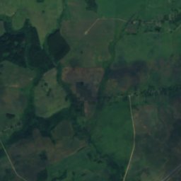
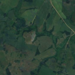
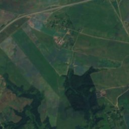
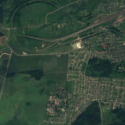
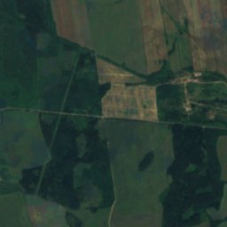
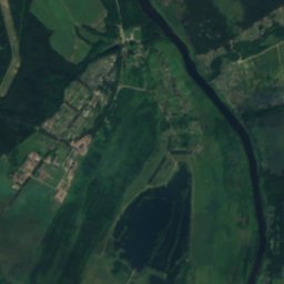
Satellite: Sentinel-2 cloudless 2016 by EOX IT Services GmbH · CC BY 4.0 · Contains modified Copernicus Sentinel data 2016
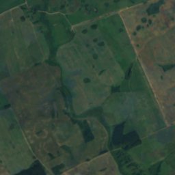
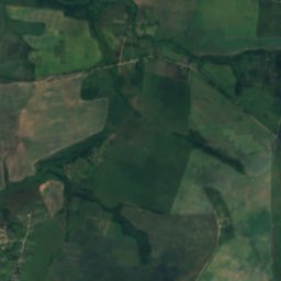
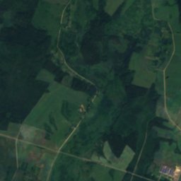
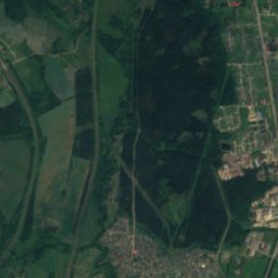
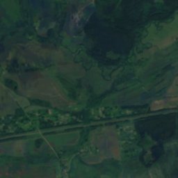
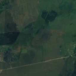
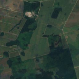
Kutsenyka
Photo: SergeiSEE · CC BY-SA 4.0 · Wikimedia Commons
KutsenykaReport this photo · linked, not stored
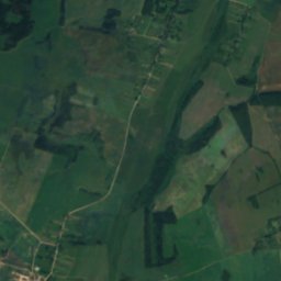
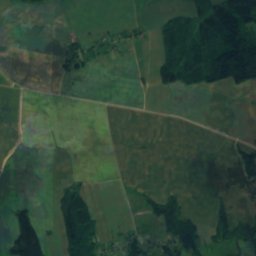
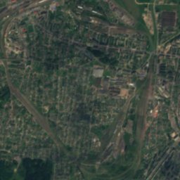
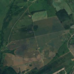
Kutsenyka
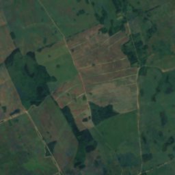
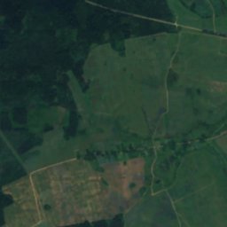
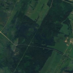
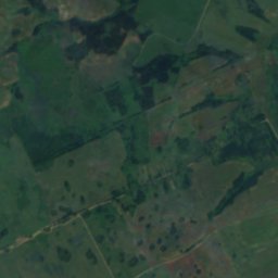
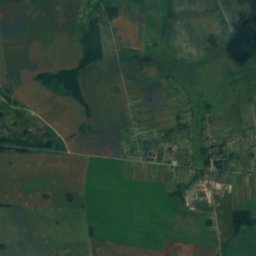
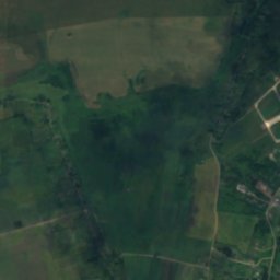
Aršyca
Photo: Kazimier Lachnovič · CC BY-SA 3.0 · Wikimedia Commons
AršycaReport this photo · linked, not stored
Aršyca
RiverBaran, Vitebsk

Barań

River161 m elevationBest May · Aug–Sep
Elevation161 mabove sea level
Length13 kmsource to mouth
Nearest townBaran0.9 km
54.47° N, 30.30° EElevation 161 mUTC+3 · Moscow Standard Time
When to goBaran · weather score
JanFebMarAprMayJunJulAugSepOctNovDec20October
Best timeMay · Aug–Sep
October: high / low10° / 3°
River

Barań in brief

Barań is a river in Baran, Vitebsk, Belarus.

It lies at 161 m above sea level.

The nearest town in the atlas is Baran, 0.9 km to the NE, where the weather is best in May, August and September.

Barań is 13 km long.

Baran: weather and travel guide

Weather nearby now

Forecast for Baran
11°
Clear now
Wind14 km/h
Humidity73%
Cloud cover6%
Today
22 Oct
14°
7°
Fri
23 Oct
13°
7°
1 mm
Sat
24 Oct
13°
9°
8 mm
Sun
25 Oct
13°
8°
3 mm
Mon
26 Oct
14°
6°
2 mm

Model run 00:00 UTCRefreshed several times a day

The course of the river

As mapped in OpenStreetMap, with the towns of the atlas along its banks.
1
  1. 1Baran158 m
sourcemouth (or where the mapped line leaves the country)
When to go

The best months around Barań

Climate of Baran

Month score in Baran

Comfort, dry days and sunshine · out of 100
11
Jan
17
Feb
23
Mar
38
Apr
65
May
64
Jun
65
Jul
67
Aug
69
Sep
20
Oct
12
Nov
10
Dec
Map

Barań from above

Nature nearbyAll of Belarus
Photo: SergeiSEE · CC BY-SA 4.0 · Wikimedia CommonsReport this photo · linked, not stored
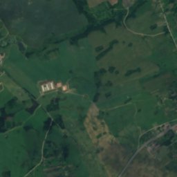
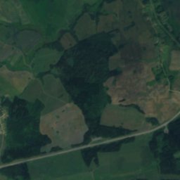
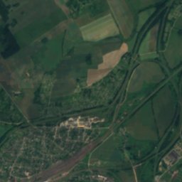
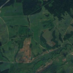
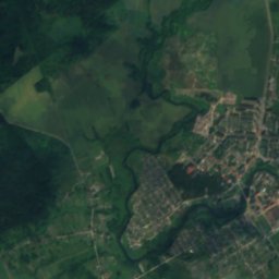
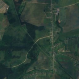
KutsenykaRiver7.6 kmEKutsenyka
Photo: Kazimier Lachnovič · CC BY-SA 3.0 · Wikimedia CommonsReport this photo · linked, not stored
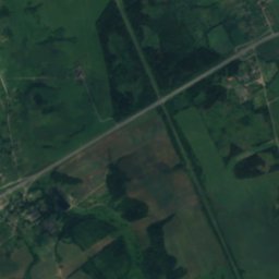
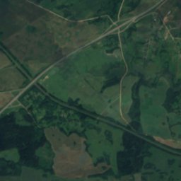
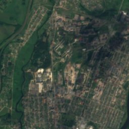
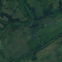
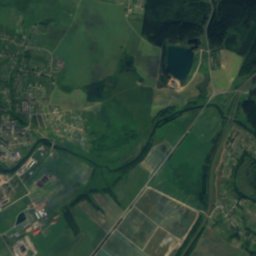
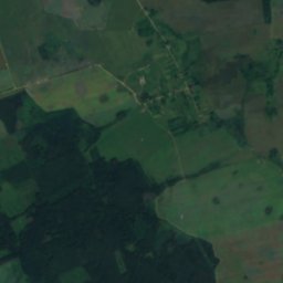
AršycaRiver8.5 kmNEAršyca
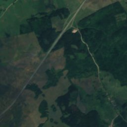
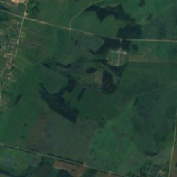
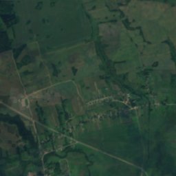
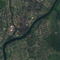
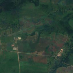
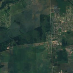
Satellite: Sentinel-2 cloudless 2016 by EOX IT Services GmbH · CC BY 4.0 · Contains modified Copernicus Sentinel data 2016
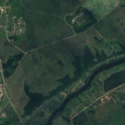
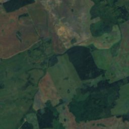
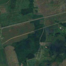
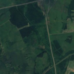
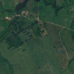
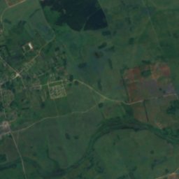
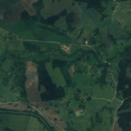
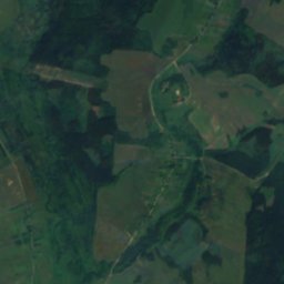
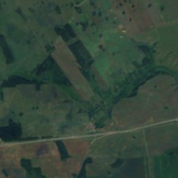
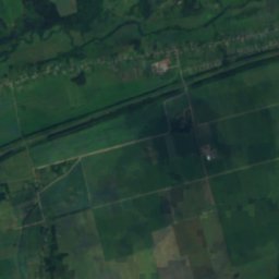
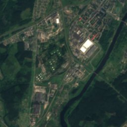
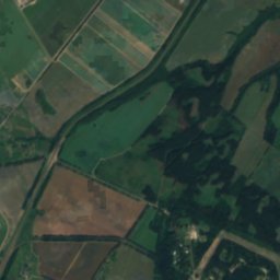
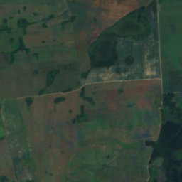
SakaliankaRiver12 kmWSakalianka
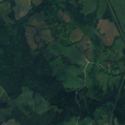
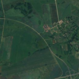
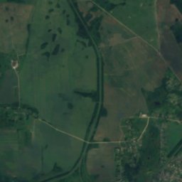
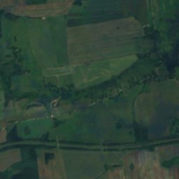
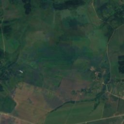
Satellite: Sentinel-2 cloudless 2016 by EOX IT Services GmbH · CC BY 4.0 · Contains modified Copernicus Sentinel data 2016
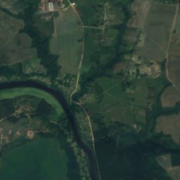
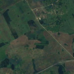
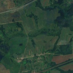
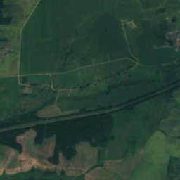
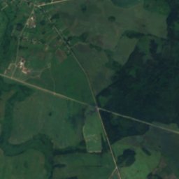
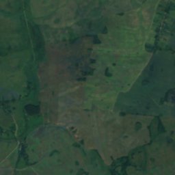
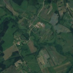
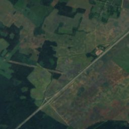
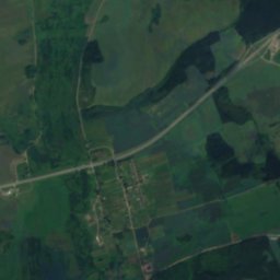
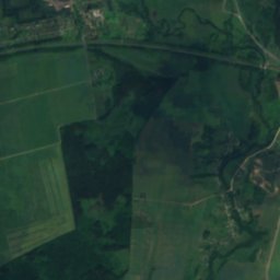
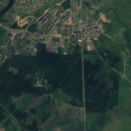
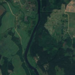
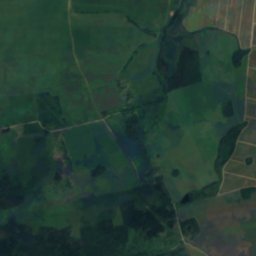
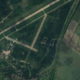
Kobelyakskiye PorogiWaterfall13 kmNEKobelyakskiye Porogi
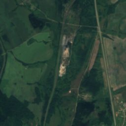
Satellite: Sentinel-2 cloudless 2016 by EOX IT Services GmbH · CC BY 4.0 · Contains modified Copernicus Sentinel data 2016
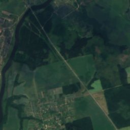
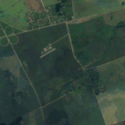
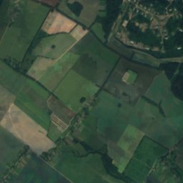
SkuńjaRiver13 kmNESkuńja
Satellite: Sentinel-2 cloudless 2016 by EOX IT Services GmbH · CC BY 4.0 · Contains modified Copernicus Sentinel data 2016
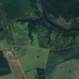
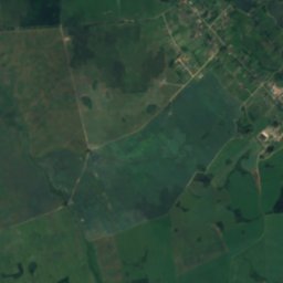
DernovkaRiver15 kmNWDernovka
Stay nearby

Towns close by

Baran
Photo: Denis Blisch · CC BY-SA 4.0 · Wikimedia CommonsReport this photo · linked, not stored

Baran

Vitebsk · 0.9 km NE
10°Oct high
12wet days
20score
Baran
Balbasava
Photo: Denis Blisch · CC BY-SA 4.0 · Wikimedia CommonsReport this photo · linked, not stored

Balbasava

Vitebsk · 6.4 km S
10°Oct high
12wet days
20score
Balbasava
Orsha
Photo: Belarus2578 · CC BY-SA 4.0 · Wikimedia CommonsReport this photo · linked, not stored

Orsha

Vitebsk · 8.2 km NE
10°Oct high
13wet days
18score
Orsha
Babinichi
Photo: Worobserg · CC BY-SA 3.0 · Wikimedia CommonsReport this photo · linked, not stored

Babinichi

Vitebsk · 11 km SE
10°Oct high
12wet days
20score
Babinichi
Around here

Baran and around

Baran
Photo: Denis Blisch · CC BY-SA 4.0 · Wikimedia CommonsReport this photo · linked, not stored

Baran

Vitebsk · Belarus
May · Aug–Sepbest months
24°July high
158 maltitude
Baran

Nature

Aršyca
Photo: Kazimier Lachnovič · CC BY-SA 3.0 · Wikimedia CommonsReport this photo · linked, not stored
7.6 km NE

Aršyca

River · 156 m
Aršyca
Kutsenyka
Photo: SergeiSEE · CC BY-SA 4.0 · Wikimedia CommonsReport this photo · linked, not stored
6.7 km E

Kutsenyka

River
Kutsenyka
Satellite: Sentinel-2 cloudless 2016 by EOX IT Services GmbH · CC BY 4.0 · Contains modified Copernicus Sentinel data 2016
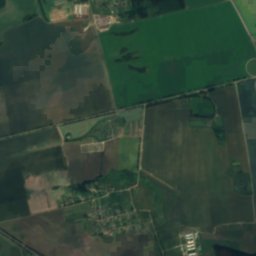
12 km NE

Kobelyakskiye Porogi

Waterfall · 185 m
Kobelyakskiye Porogi

Heritage

Monument of Konstantin Zaslonov in Orša
Photo: Mikra72 · CC0 · Wikimedia CommonsReport this photo · linked, not stored
6.6 km NE

Monument of Konstantin Zaslonov in Orša

Cultural heritage of Belarus · 1955
Monument of Konstantin Zaslonov in Orša
Catholic church of Saint Joseph in Orša
Photo: Kazimier Lachnovič · CC BY-SA 3.0 · Wikimedia CommonsReport this photo · linked, not stored
7.6 km NE

Catholic church of Saint Joseph in Orša

Cultural heritage of Belarus · 1819
Catholic church of Saint Joseph in Orša
Church of Saint Ilya in Orša
Photo: Тимофей Соловьёв at Russian Wikipedia · Public domain · Wikimedia CommonsReport this photo · linked, not stored
7.6 km E

Church of Saint Ilya in Orša

Cultural heritage of Belarus · 1880
Church of Saint Ilya in Orša

Museums

Museum of Uladzimir Karatkievič
Photo: Gandvik · CC BY-SA 3.0 · Wikimedia CommonsReport this photo · linked, not stored
8.6 km NE

Museum of Uladzimir Karatkievič

1994
Museum of Uladzimir Karatkievič
Аршанскі музей драўлянай скульптуры разьбяра Сямёна Сцяпанавіча Шаўрова
Photo: Mikra72 · CC0 · Wikimedia CommonsReport this photo · linked, not stored
4.7 km NE

Аршанскі музей драўлянай скульптуры разьбяра Сямёна Сцяпанавіча Шаўрова

1992
Аршанскі музей драўлянай скульптуры разьбяра Сямёна Сцяпанавіча Шаўрова
Military Historical Museum named after the Hero of the Soviet Union K. S. Zaslonov
Photo: Mikra72 · CC0 · Wikimedia CommonsReport this photo · linked, not stored
6.2 km NE

Military Historical Museum named after the Hero of the Soviet Union K. S. Zaslonov

Military Historical Museum named after the Hero of the Soviet Union K. S. Zaslonov