Skip to content
Destinations
Weather & climate
Nature
Outdoors
Culture
Events
Sky & live
Widdersteinhütte
Photo: Viajante · Public domain · Wikimedia Commons
WiddersteinhütteReport this photo · linked, not stored
Red Hole
Photo: Whgler · CC BY-SA 4.0 · Wikimedia Commons
Red HoleReport this photo · linked, not stored
Red Hole
Biberacher Hütte
Photo: Kauk0r · CC BY-SA 3.0 · Wikimedia Commons
Biberacher HütteReport this photo · linked, not stored
Biberacher Hütte
Monzabonsee
Photo: Petr1888 · CC BY-SA 3.0 · Wikimedia Commons
MonzabonseeReport this photo · linked, not stored
Monzabonsee
Hölloch
Photo: Kauk0r · CC BY-SA 3.0 · Wikimedia Commons
HöllochReport this photo · linked, not stored
Hölloch
Mountain hutSchröcken, Vorarlberg

Widdersteinhütte

Mountain hut2,009 m elevationBest Jun–Aug
Elevation2,009 mabove sea level
Area–surface
Nearest townSchröcken4.1 km
47.28° N, 10.14° EElevation 2,009 mUTC+2 · Central European Summer Time
When to goSchröcken · weather score
JanFebMarAprMayJunJulAugSepOctNovDec33October
Best timeJun–Aug
October: high / low12° / 3°
Mountain hut

Widdersteinhütte in brief

Widdersteinhütte is a mountain hut in Schröcken, Vorarlberg, Austria.

It lies at 2,009 m above sea level.

The nearest town in the atlas is Schröcken, 4.1 km to the SW, where the weather is best in June, July and August.

Schröcken: weather and travel guide

Weather nearby now

Forecast for Schröcken
5°
Sunny now
Wind3 km/h
Humidity54%
Cloud cover3%
Today
22 Oct
6°
-3°
Fri
23 Oct
9°
0°
3 mm
Sat
24 Oct
2°
-2°
2 mm
Sun
25 Oct
7°
1°
21 mm
Mon
26 Oct
10°
1°
1 mm

Model run 00:00 UTCRefreshed several times a day

When to go

The best months around Widdersteinhütte

Climate of Schröcken

Month score in Schröcken

Comfort, dry days and sunshine · out of 100
22
Jan
24
Feb
19
Mar
19
Apr
42
May
61
Jun
63
Jul
63
Aug
48
Sep
33
Oct
24
Nov
21
Dec
Map

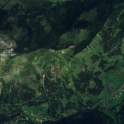
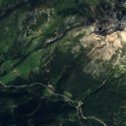
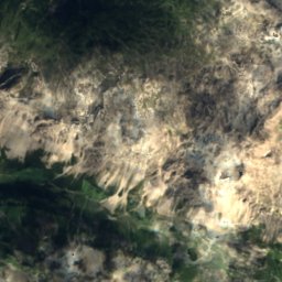
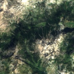
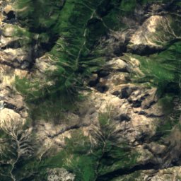
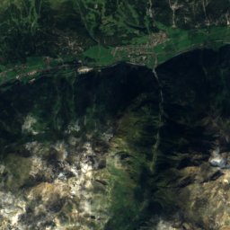
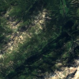
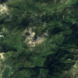
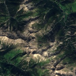
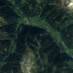
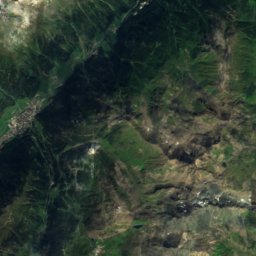
Widdersteinhütte from above

Nature nearbyAll of Austria
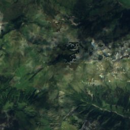
Satellite: Sentinel-2 cloudless 2016 by EOX IT Services GmbH · CC BY 4.0 · Contains modified Copernicus Sentinel data 2016
SchänzleseeLake6.0 kmESchänzlesee
Photo: Whgler · CC BY-SA 4.0 · Wikimedia CommonsReport this photo · linked, not stored
Red HoleCave8.1 kmNRed Hole
Photo: Kauk0r · CC BY-SA 3.0 · Wikimedia CommonsReport this photo · linked, not stored
Biberacher HütteMountain hut8.5 kmWBiberacher Hütte
Photo: Petr1888 · CC BY-SA 3.0 · Wikimedia CommonsReport this photo · linked, not stored
MonzabonseeLake9.5 kmSMonzabonsee
Satellite: Sentinel-2 cloudless 2016 by EOX IT Services GmbH · CC BY 4.0 · Contains modified Copernicus Sentinel data 2016
Göppinger HütteMountain hut9.9 kmSWGöppinger Hütte
Photo: Kauk0r · CC BY-SA 3.0 · Wikimedia CommonsReport this photo · linked, not stored
HöllochCave11 kmNHölloch
Summits nearbyMountains of Austria
Satellite: Sentinel-2 cloudless 2016 by EOX IT Services GmbH · CC BY 4.0 · Contains modified Copernicus Sentinel data 2016
Riffelspitze25 km SE2,935 mJuly 9°Riffelspitze
Photo: 32-Fuß-Freak · CC BY-SA 4.0 · Wikimedia CommonsReport this photo · linked, not stored
Pflunspitzen22 km S2,912 mJuly 10°Pflunspitzen
Photo: Engie · CC BY-SA 3.0 · Wikimedia CommonsReport this photo · linked, not stored
Kaltenberg, Vorarlberg21 km S2,896 mJuly 9°Kaltenberg, Vorarlberg
Satellite: Sentinel-2 cloudless 2016 by EOX IT Services GmbH · CC BY 4.0 · Contains modified Copernicus Sentinel data 2016
Wetterspitze19 km SE2,895 mJuly 9°Wetterspitze
Photo: Jörg Braukmann · CC BY-SA 3.0 · Wikimedia CommonsReport this photo · linked, not stored
Vorderseespitze20 km SE2,889 mJuly 10°Vorderseespitze
Photo: Karl Winkler · CC BY-SA 3.0 · Wikimedia CommonsReport this photo · linked, not stored
Freispitze23 km E2,884 mJuly 13°Freispitze
Stay nearby

Towns close by

Schröcken
Photo: böhringer friedrich · CC BY-SA 2.5 · Wikimedia CommonsReport this photo · linked, not stored

Schröcken

Vorarlberg · 4.1 km SW
12°Oct high
13wet days
33score
Schröcken
Warth
Photo: Unknown author · CC BY-SA 3.0 · Wikimedia CommonsReport this photo · linked, not stored

Warth

Vorarlberg · 4.7 km SE
12°Oct high
13wet days
33score
Warth
Lech
Photo: Florian Lindner · CC BY 2.5 · Wikimedia CommonsReport this photo · linked, not stored

Lech

Vorarlberg · 7.9 km S
11°Oct high
13wet days
29score
Lech
Mittelberg
Photo: Nils E. · Public domain · Wikimedia CommonsReport this photo · linked, not stored

Mittelberg

Vorarlberg · 8.5 km N
13°Oct high
13wet days
40score
Mittelberg
Around here

Schröcken and around

Schröcken
Photo: böhringer friedrich · CC BY-SA 2.5 · Wikimedia CommonsReport this photo · linked, not stored

Schröcken

Vorarlberg · Austria
Jun–Augbest months
20°July high
1,269 maltitude
Schröcken

Nature

Ravensburger Hut
Photo: michael303 · Public domain · Wikimedia CommonsReport this photo · linked, not stored
9.9 km S

Ravensburger Hut

Mountain hut · 1,948 m
Ravensburger Hut
Spullersee
Photo: böhringer friedrich · CC BY-SA 2.5 · Wikimedia CommonsReport this photo · linked, not stored
11 km S

Spullersee

Lake · 1,823 m
Spullersee
Monzabonsee
Photo: Petr1888 · CC BY-SA 3.0 · Wikimedia CommonsReport this photo · linked, not stored
9.0 km SE

Monzabonsee

Lake · 2,226 m
Monzabonsee

Mountains

Satellite: Sentinel-2 cloudless 2016 by EOX IT Services GmbH · CC BY 4.0 · Contains modified Copernicus Sentinel data 2016
26 km SE

Kuchenspitze

3,148 m · Verwall Alps
Kuchenspitze
Kuchlspitze
Photo: 32-Fuß-Freak · CC BY-SA 4.0 · Wikimedia CommonsReport this photo · linked, not stored
26 km SE

Kuchlspitze

3,147 m · Verwall Alps
Kuchlspitze
Vesulspitze
Photo: 32 Fuß-Freak · CC BY-SA 4.0 · Wikimedia CommonsReport this photo · linked, not stored
34 km SE

Vesulspitze

3,089 m · Samnaun Alps
Vesulspitze

Heritage

Pfarrkirche Mariä Himmelfahrt, Schröcken
Photo: böhringer friedrich · CC BY-SA 2.5 · Wikimedia CommonsReport this photo · linked, not stored
under 100 m SE

Pfarrkirche Mariä Himmelfahrt, Schröcken

Listed objects in Austria
Pfarrkirche Mariä Himmelfahrt, Schröcken
Unter-Überlutt
Photo: Robinhood50 · CC BY-SA 4.0 · Wikimedia CommonsReport this photo · linked, not stored
9.1 km W

Unter-Überlutt

Europaschutzgebiet · 2002
Unter-Überlutt
St. Martin, Mittelberg
Photo: Nils E. · Public domain · Wikimedia CommonsReport this photo · linked, not stored
6.3 km N

St. Martin, Mittelberg

Listed objects in Austria
St. Martin, Mittelberg

Museums

Satellite: Sentinel-2 cloudless 2016 by EOX IT Services GmbH · CC BY 4.0 · Contains modified Copernicus Sentinel data 2016
1.3 km SE

Alpmuseum uf m Tannberg

Alpmuseum uf m Tannberg
Museum Huber-Haus in Lech (Vorarlberg)
Photo: böhringer friedrich · CC BY-SA 2.5 · Wikimedia CommonsReport this photo · linked, not stored
6.5 km SE

Museum Huber-Haus in Lech (Vorarlberg)

Local museum
Museum Huber-Haus in Lech (Vorarlberg)
Klostertal-Museum
Photo: Anton-kurt (talk) · CC BY-SA 3.0 at · Wikimedia CommonsReport this photo · linked, not stored
15 km S

Klostertal-Museum

Local museum
Klostertal-Museum