Skip to content
Destinations
Weather & climate
Nature
Outdoors
Culture
Events
Sky & live
Weißache
Photo: Mysteryku · CC BY-SA 3.0 · Wikimedia Commons
WeißacheReport this photo · linked, not stored
Maistaller Lacke
Photo: Photo tirol · CC BY-SA 3.0 at · Wikimedia Commons
Maistaller LackeReport this photo · linked, not stored
Maistaller Lacke
Stimmersee
Photo: Rufus46 · CC BY-SA 4.0 · Wikimedia Commons
StimmerseeReport this photo · linked, not stored
Stimmersee
Pfrillsee
Photo: Tgo9176 · CC BY-SA 3.0 · Wikimedia Commons
PfrillseeReport this photo · linked, not stored
Pfrillsee
Längsee, Tyrol
Photo: I, Rufus46 · CC BY-SA 3.0 · Wikimedia Commons
Längsee, TyrolReport this photo · linked, not stored
Längsee, Tyrol
RiverWeissach, Tyrol

Weißache

RiverBest Jun–Aug
Elevation–above sea level
Length24 kmsource to mouth
Nearest townWeissach0.8 km
47.58° N, 12.15° EUTC+2 · Central European Summer Time
When to goWeissach · weather score
JanFebMarAprMayJunJulAugSepOctNovDec52October
Best timeJun–Aug
October: high / low15° / 5°
River

Weißache in brief

Weißache is a river in Weissach, Tyrol, Austria.

The nearest town in the atlas is Weissach, 0.8 km to the SE, where the weather is best in June, July and August.

Weißache is 24 km long.

Weissach: weather and travel guide

Weather nearby now

Forecast for Weissach
13°
Sunny now
Wind7 km/h
Humidity49%
Cloud cover0%
Today
22 Oct
13°
3°
5 mm
Fri
23 Oct
16°
1°
1 mm
Sat
24 Oct
10°
1°
5 mm
Sun
25 Oct
12°
1°
4 mm
Mon
26 Oct
14°
9°
1 mm

Model run 00:00 UTCRefreshed several times a day

The course of the river

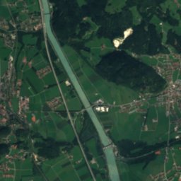
As mapped in OpenStreetMap, with the towns of the atlas along its banks.
12345
  1. 1Schwoich571 m
  2. 2Weissach499 m
  3. 3Endach492 m
  4. 4Zell516 m
  5. 5Kufstein483 m
sourcemouth (or where the mapped line leaves the country)
When to go

The best months around Weißache

Climate of Weissach

Month score in Weissach

Comfort, dry days and sunshine · out of 100
21
Jan
24
Feb
22
Mar
56
Apr
63
May
64
Jun
66
Jul
65
Aug
64
Sep
52
Oct
27
Nov
20
Dec
Map

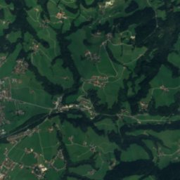
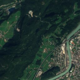
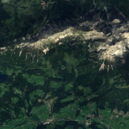
Weißache from above

Nature nearbyAll of Austria
Photo: Photo tirol · CC BY-SA 3.0 at · Wikimedia CommonsReport this photo · linked, not stored
Maistaller LackeLake0.9 kmNMaistaller Lacke
Photo: Rufus46 · CC BY-SA 4.0 · Wikimedia CommonsReport this photo · linked, not stored
StimmerseeLake1.6 kmWStimmersee
Photo: Tgo9176 · CC BY-SA 3.0 · Wikimedia CommonsReport this photo · linked, not stored
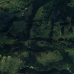
PfrillseeLake2.1 kmNPfrillsee
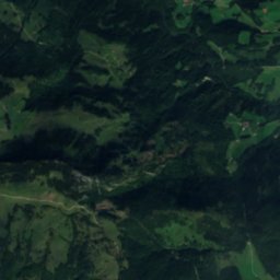
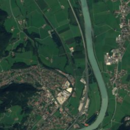
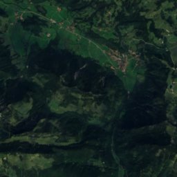
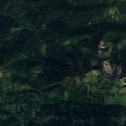
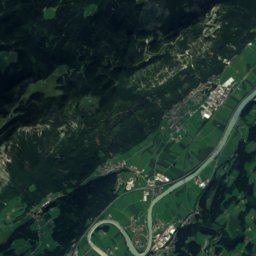
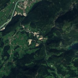
Satellite: Sentinel-2 cloudless 2016 by EOX IT Services GmbH · CC BY 4.0 · Contains modified Copernicus Sentinel data 2016
HaarseeLake2.4 kmNHaarsee
Photo: I, Rufus46 · CC BY-SA 3.0 · Wikimedia CommonsReport this photo · linked, not stored
Längsee, TyrolLake2.6 kmNLängsee, Tyrol
Photo: Rufus46 · CC BY-SA 3.0 · Wikimedia CommonsReport this photo · linked, not stored
ThierseeLake2.9 kmNWThiersee
Summits nearbyMountains of Austria
Photo: Unknown author · CC BY-SA 3.0 · Wikimedia CommonsReport this photo · linked, not stored
Ellmauer Halt11 km E2,344 mJuly 14°Ellmauer Halt
Photo: Blutgretchen · CC BY-SA 3.0 · Wikimedia CommonsReport this photo · linked, not stored
Ackerlspitze14 km E2,329 mJuly 14°Ackerlspitze
Photo: stefanski · Public domain · Wikimedia CommonsReport this photo · linked, not stored
Treffauer11 km E2,304 mJuly 13°Treffauer
Photo: Stefan.straub · CC BY-SA 4.0 · Wikimedia CommonsReport this photo · linked, not stored
Gamshalt11 km E2,291 mJuly 14°Gamshalt
Photo: Stefan.straub · CC BY-SA 4.0 · Wikimedia CommonsReport this photo · linked, not stored
Hochgrubachspitzen14 km E2,284 mJuly 15°Hochgrubachspitzen
Photo: Steffen 962 · CC0 · Wikimedia CommonsReport this photo · linked, not stored
Hintere Karlspitze12 km E2,281 mJuly 15°Hintere Karlspitze
Stay nearby

Towns close by
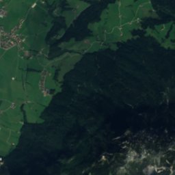
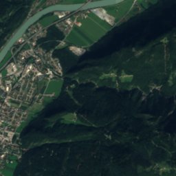
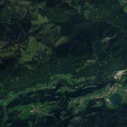
Satellite: Sentinel-2 cloudless 2016 by EOX IT Services GmbH · CC BY 4.0 · Contains modified Copernicus Sentinel data 2016

Weissach

Tyrol · 0.8 km SE
15°Oct high
13wet days
52score
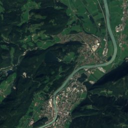
Weissach
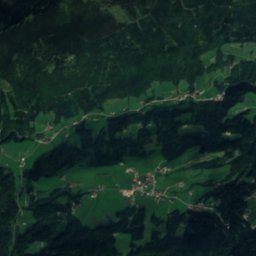
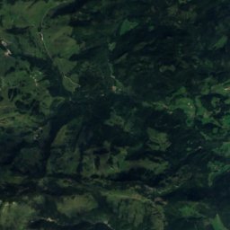
Satellite: Sentinel-2 cloudless 2016 by EOX IT Services GmbH · CC BY 4.0 · Contains modified Copernicus Sentinel data 2016

Endach

Tyrol · 0.9 km S
15°Oct high
13wet days
53score
Endach
Zell
Photo: Photo tirol · CC BY-SA 3.0 at · Wikimedia CommonsReport this photo · linked, not stored

Zell

Tyrol · 0.9 km N
15°Oct high
13wet days
52score
Zell
Kufstein
Photo: Rufus46 · CC BY-SA 3.0 · Wikimedia CommonsReport this photo · linked, not stored

Kufstein

Tyrol · 1.3 km NE
15°Oct high
13wet days
53score
Kufstein
Around here

Weissach and around

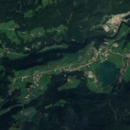
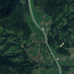
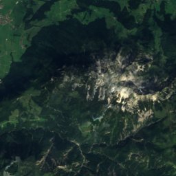
Satellite: Sentinel-2 cloudless 2016 by EOX IT Services GmbH · CC BY 4.0 · Contains modified Copernicus Sentinel data 2016

Weissach

Tyrol · Austria
Jun–Augbest months
25°July high
499 maltitude
Weissach

Nature

Hechtsee
Photo: Martin Ksellmann · CC BY-SA 4.0 · Wikimedia CommonsReport this photo · linked, not stored
4.2 km N

Hechtsee

Lake · 544 m
Hechtsee
Tischofer Cave
Photo: User Bonanza on de.wikipedia · CC BY-SA 3.0 · Wikimedia CommonsReport this photo · linked, not stored
3.5 km NE

Tischofer Cave

Cave
Tischofer Cave
Kieferbach
Photo: Rufus46 · CC BY-SA 3.0 · Wikimedia CommonsReport this photo · linked, not stored
4.9 km NE

Kieferbach

River
Kieferbach

Mountains

Kreuzjoch (Kitzbühel Alps)
Photo: Thomas Laiminger · CC BY-SA 2.0 de · Wikimedia CommonsReport this photo · linked, not stored
38 km S

Kreuzjoch (Kitzbühel Alps)

2,558 m · Kitzbühel Alps
Kreuzjoch (Kitzbühel Alps)
Katzenkopf, Tyrol
Photo: Dguendel · CC BY 4.0 · Wikimedia CommonsReport this photo · linked, not stored
35 km S

Katzenkopf, Tyrol

2,535 m · Kitzbühel Alps
Katzenkopf, Tyrol
Großes Ochsenhorn
Photo: Jörg Braukmann · CC BY-SA 3.0 · Wikimedia CommonsReport this photo · linked, not stored
38 km E

Großes Ochsenhorn

2,511 m · Loferer und Leoganger Steinberge
Großes Ochsenhorn

Heritage

Kufstein Fortress
Photo: Rufus46 · CC BY-SA 3.0 · Wikimedia CommonsReport this photo · linked, not stored
1.3 km NE

Kufstein Fortress

Listed objects in Austria · 1205
Kufstein Fortress
Villa Staffing
Photo: Rufus46 · CC BY-SA 3.0 · Wikimedia CommonsReport this photo · linked, not stored
2.7 km N

Villa Staffing

Listed objects in Austria · 1901
Villa Staffing
Wallfahrtskirche Kleinholz
Photo: Dnalor 01 · CC BY-SA 3.0 · Wikimedia CommonsReport this photo · linked, not stored
1.3 km N

Wallfahrtskirche Kleinholz

Listed objects in Austria
Wallfahrtskirche Kleinholz

Museums

Madersperger Museum
Photo: Thomas Ledl · CC BY-SA 4.0 · Wikimedia CommonsReport this photo · linked, not stored
1.3 km NE

Madersperger Museum

Madersperger Museum
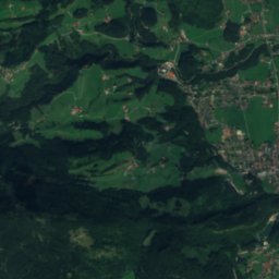
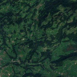
Satellite: Sentinel-2 cloudless 2016 by EOX IT Services GmbH · CC BY 4.0 · Contains modified Copernicus Sentinel data 2016
1.7 km SW

Zementmuseum Schwoich

Open-air museum
Zementmuseum Schwoich
Satellite: Sentinel-2 cloudless 2016 by EOX IT Services GmbH · CC BY 4.0 · Contains modified Copernicus Sentinel data 2016
4.0 km NW

Filmmuseum Thiersee

Film museum
Filmmuseum Thiersee