Skip to content
Destinations
Weather & climate
Nature
Outdoors
Culture
Events
Sky & live
Waldbachstrub
Photo: Adolf Riess · CC BY-SA 3.0 · Wikimedia Commons
WaldbachstrubReport this photo · linked, not stored
Mühlbach
Photo: Uoaei1 · CC BY-SA 4.0 · Wikimedia Commons
MühlbachReport this photo · linked, not stored
Mühlbach
Wiesberghaus
Photo: C.Stadler/Bwag · CC BY-SA 4.0 · Wikimedia Commons
WiesberghausReport this photo · linked, not stored
Wiesberghaus
Hausgraben
Photo: Herzi Pinki · CC BY-SA 3.0 · Wikimedia Commons
HausgrabenReport this photo · linked, not stored
Hausgraben
Hoher Dachstein
Photo: C.Stadler/Bwag · CC BY-SA 4.0 · Wikimedia Commons
Hoher DachsteinReport this photo · linked, not stored
Hoher Dachstein
WaterfallHallstatt, Upper Austria

Waldbachstrub

WaterfallBest Jul–Sep
Elevation–above sea level
Height–of the falls
Nearest townHallstatt3.0 km
47.55° N, 13.61° EUTC+2 · Central European Summer Time
When to goHallstatt · weather score
JanFebMarAprMayJunJulAugSepOctNovDec47October
Best timeJul–Sep
October: high / low14° / 4°
Waterfall

Waldbachstrub in brief

Waldbachstrub is a waterfall in Hallstatt, Upper Austria, Austria.

The nearest town in the atlas is Hallstatt, 3.0 km to the NE, where the weather is best in July, August and September.

Hallstatt: weather and travel guide

Weather nearby now

Forecast for Hallstatt
9°
Sunny now
Wind8 km/h
Humidity53%
Cloud cover16%
Today
22 Oct
9°
3°
6 mm
Fri
23 Oct
14°
2°
Sat
24 Oct
7°
0°
8 mm
Sun
25 Oct
10°
-1°
8 mm
Mon
26 Oct
14°
7°
2 mm

Model run 00:00 UTCRefreshed several times a day

When to go

The best months around Waldbachstrub

Climate of Hallstatt

Month score in Hallstatt

Comfort, dry days and sunshine · out of 100
21
Jan
23
Feb
20
Mar
50
Apr
64
May
64
Jun
66
Jul
65
Aug
65
Sep
47
Oct
24
Nov
20
Dec
Map

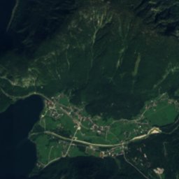
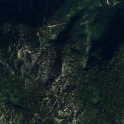
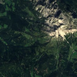
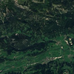
Waldbachstrub from above

Nature nearbyAll of Austria
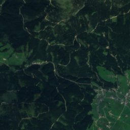
Satellite: Sentinel-2 cloudless 2016 by EOX IT Services GmbH · CC BY 4.0 · Contains modified Copernicus Sentinel data 2016
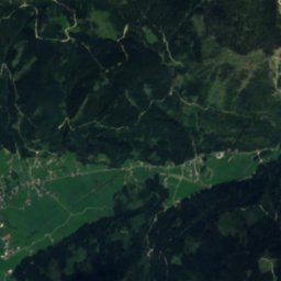
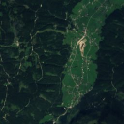
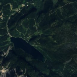
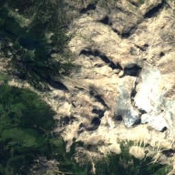
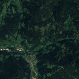
Obere BrandgrabenhöhleCave1.4 kmEObere Brandgrabenhöhle
Satellite: Sentinel-2 cloudless 2016 by EOX IT Services GmbH · CC BY 4.0 · Contains modified Copernicus Sentinel data 2016
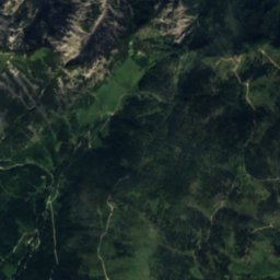
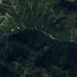
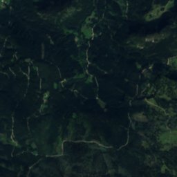
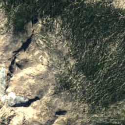
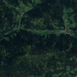
HirlatzhöhleCave1.4 kmEHirlatzhöhle
Photo: Uoaei1 · CC BY-SA 4.0 · Wikimedia CommonsReport this photo · linked, not stored
MühlbachWaterfall2.9 kmNMühlbach
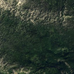
Satellite: Sentinel-2 cloudless 2016 by EOX IT Services GmbH · CC BY 4.0 · Contains modified Copernicus Sentinel data 2016
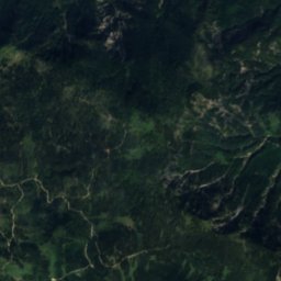
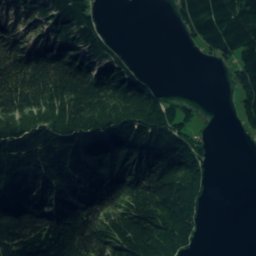
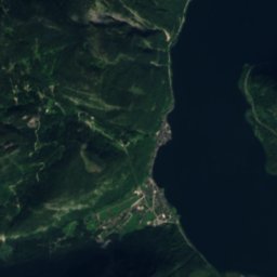
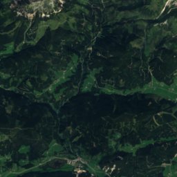
SteggrabenRiver3.3 kmNSteggraben
Photo: C.Stadler/Bwag · CC BY-SA 4.0 · Wikimedia CommonsReport this photo · linked, not stored
WiesberghausMountain hut3.3 kmSWiesberghaus
Photo: Herzi Pinki · CC BY-SA 3.0 · Wikimedia CommonsReport this photo · linked, not stored
HausgrabenRiver4.0 kmNEHausgraben
Summits nearbyMountains of Austria
Photo: C.Stadler/Bwag · CC BY-SA 4.0 · Wikimedia CommonsReport this photo · linked, not stored
Hoher Dachstein8.3 km S2,995 mJuly 7°Hoher Dachstein
Photo: C.Stadler/Bwag · CC BY-SA 4.0 · Wikimedia CommonsReport this photo · linked, not stored
Torstein, Salzburg8.6 km S2,948 mJuly 11°Torstein, Salzburg
Photo: Ralph Deleja-Hotko = de:Benutzer:Aerotiker · CC BY-SA 3.0 de · Wikimedia CommonsReport this photo · linked, not stored
Niederer Dachstein7.9 km S2,934 mJuly 7°Niederer Dachstein
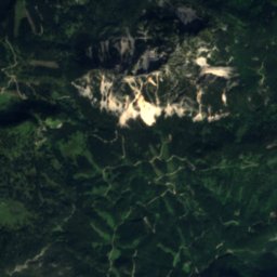
Satellite: Sentinel-2 cloudless 2016 by EOX IT Services GmbH · CC BY 4.0 · Contains modified Copernicus Sentinel data 2016
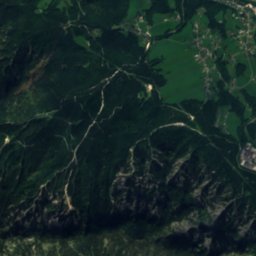
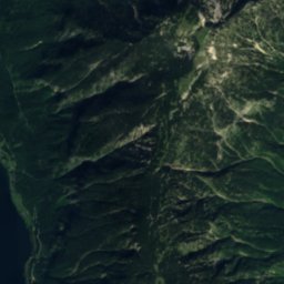
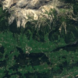
Mitterspitz8.3 km S2,925 mJuly 8°Mitterspitz
Photo: Tigerente · CC BY 4.0 · Wikimedia CommonsReport this photo · linked, not stored
Koppenkarstein9.4 km S2,863 mJuly 9°Koppenkarstein
Photo: SchiDD · CC BY-SA 4.0 · Wikimedia CommonsReport this photo · linked, not stored
Kleiner Koppenkarstein9.3 km S2,838 mJuly 9°Kleiner Koppenkarstein
Stay nearby

Towns close by

Hallstatt
Photo: C.Stadler/Bwag · CC BY-SA 4.0 · Wikimedia CommonsReport this photo · linked, not stored

Hallstatt

Upper Austria · 3.0 km NE
14°Oct high
13wet days
47score
Hallstatt
Obertraun
Photo: C.Stadler/Bwag · CC BY-SA 4.0 · Wikimedia CommonsReport this photo · linked, not stored

Obertraun

Upper Austria · 5.5 km E
16°Oct high
13wet days
53score
Obertraun
Gosau
Photo: Karl Posch · CC BY-SA 4.0 · Wikimedia CommonsReport this photo · linked, not stored

Gosau

Upper Austria · 7.2 km NW
14°Oct high
13wet days
44score
Gosau
Bad Goisern am Hallstättersee
Photo: C.Stadler/Bwag · CC BY-SA 4.0 · Wikimedia CommonsReport this photo · linked, not stored

Bad Goisern am Hallstättersee

Upper Austria · 10 km N
15°Oct high
13wet days
51score
Bad Goisern am Hallstättersee
Around here

Hallstatt and around

Hallstatt
Photo: C.Stadler/Bwag · CC BY-SA 4.0 · Wikimedia CommonsReport this photo · linked, not stored

Hallstatt

Upper Austria · Austria
Jul–Sepbest months
24°July high
514 maltitude
Hallstatt

Nature

Hallstätter See
Photo: Tigerente · CC BY-SA 4.0 · Wikimedia CommonsReport this photo · linked, not stored
2.0 km NE

Hallstätter See

Lake · 508 m
Hallstätter See
Eissee, Upper Austria
Photo: Benutzer:Hejkal · CC BY-SA 3.0 de · Wikimedia CommonsReport this photo · linked, not stored
7.3 km S

Eissee, Upper Austria

Lake · 1,909 m
Eissee, Upper Austria
Hirzkar Lake
Photo: Hlu1001 · CC BY-SA 3.0 · Wikimedia CommonsReport this photo · linked, not stored
6.6 km SE

Hirzkar Lake

Lake · 1,814 m
Hirzkar Lake

Mountains

Hoher Dachstein
Photo: C.Stadler/Bwag · CC BY-SA 4.0 · Wikimedia CommonsReport this photo · linked, not stored
10 km S

Hoher Dachstein

2,995 m · Dachstein Mountains
Hoher Dachstein
Torstein, Salzburg
Photo: C.Stadler/Bwag · CC BY-SA 4.0 · Wikimedia CommonsReport this photo · linked, not stored
11 km SW

Torstein, Salzburg

2,948 m · Dachstein
Torstein, Salzburg
Niederer Dachstein
Photo: Ralph Deleja-Hotko = de:Benutzer:Aerotiker · CC BY-SA 3.0 de · Wikimedia CommonsReport this photo · linked, not stored
9.9 km S

Niederer Dachstein

2,934 m · Dachstein Mountains
Niederer Dachstein

Heritage

Satellite: Sentinel-2 cloudless 2016 by EOX IT Services GmbH · CC BY 4.0 · Contains modified Copernicus Sentinel data 2016
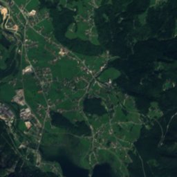
0.4 km SW

Hallstatt-Dachstein Salzkammergut cultural landscape

World Heritage Site
Hallstatt-Dachstein Salzkammergut cultural landscape
Catholic parish church Hallstatt
Photo: Marion & Christoph Aistleitner · CC0 · Wikimedia CommonsReport this photo · linked, not stored
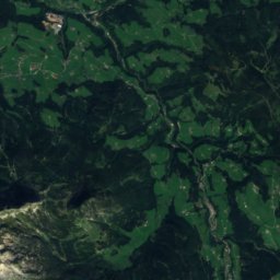
0.1 km N

Catholic parish church Hallstatt

Listed objects in Austria
Catholic parish church Hallstatt
Christuskirche, Hallstatt
Photo: Burkhard Mücke · CC BY-SA 4.0 · Wikimedia CommonsReport this photo · linked, not stored
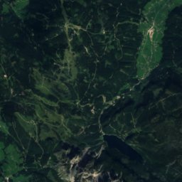
under 100 m NE

Christuskirche, Hallstatt

Listed objects in Austria
Christuskirche, Hallstatt

Museums

Hallstatt Museum
Photo: Gunnar Richter Namenlos.net · CC BY 3.0 · Wikimedia CommonsReport this photo · linked, not stored
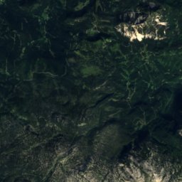
under 100 m S

Hallstatt Museum

1884
Hallstatt Museum
Hallstatt - Salt mine
Photo: Balou46 · CC BY-SA 4.0 · Wikimedia CommonsReport this photo · linked, not stored
1.4 km W

Hallstatt - Salt mine

Show mine
Hallstatt - Salt mine
Heimatmuseum, Stocker-Haus
Photo: Gunnar Richter Namenlos.net · CC BY 3.0 · Wikimedia CommonsReport this photo · linked, not stored
0.1 km SW

Heimatmuseum, Stocker-Haus

Local museum
Heimatmuseum, Stocker-Haus