Skip to content
Destinations
Weather & climate
Nature
Outdoors
Culture
Events
Sky & live
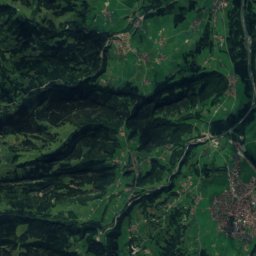
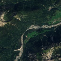
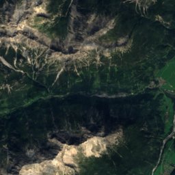
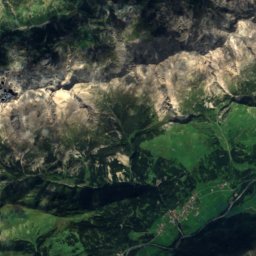
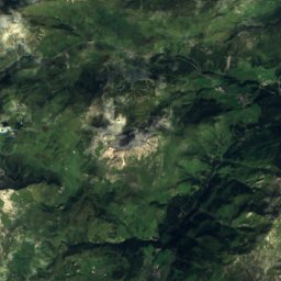
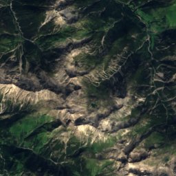
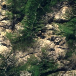
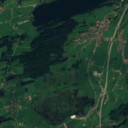
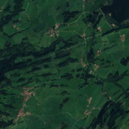
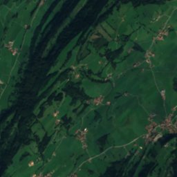
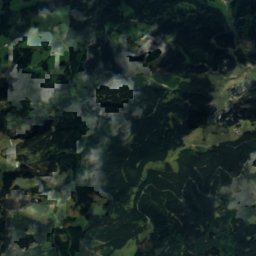
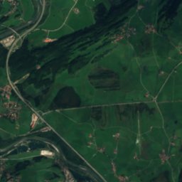
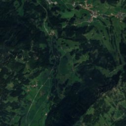
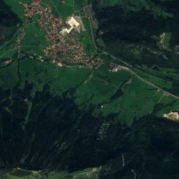
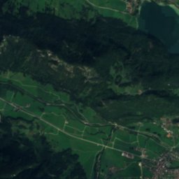
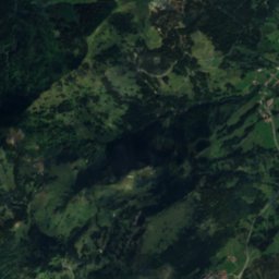
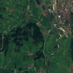
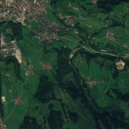
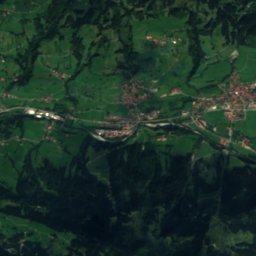
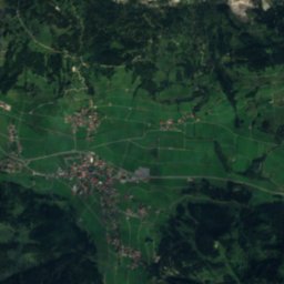
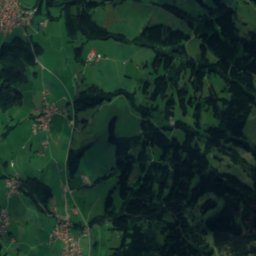
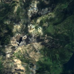
Satellite: Sentinel-2 cloudless 2016 by EOX IT Services GmbH · CC BY 4.0 · Contains modified Copernicus Sentinel data 2016
Wertach
Photo: User:Omnidoom 999 · CC BY-SA 3.0 · Wikimedia Commons
WertachReport this photo · linked, not stored
Wertach
Zipfelsfall
Photo: Rosa-Maria Rinkl · CC BY-SA 4.0 · Wikimedia Commons
ZipfelsfallReport this photo · linked, not stored
Zipfelsfall
Wildfräuleinstein
Photo: Rosa-Maria Rinkl · CC BY-SA 4.0 · Wikimedia Commons
WildfräuleinsteinReport this photo · linked, not stored
Wildfräuleinstein
Ostler Hut
Photo: Kuebi = Armin Kübelbeck · CC BY-SA 4.0 · Wikimedia Commons
Ostler HutReport this photo · linked, not stored
Ostler Hut
WaterfallSchattwald, Tyrol

Vilsfall

Waterfall1,055 m elevationBest Jun–Aug
Elevation1,055 mabove sea level
Height–of the falls
Nearest townSchattwald1.6 km
47.53° N, 10.45° EElevation 1,055 mUTC+1 · Central European Standard Time
When to goSchattwald · weather score
JanFebMarAprMayJunJulAugSepOctNovDec39October
Best timeJun–Aug
October: high / low13° / 3°
Waterfall

Vilsfall in brief

Vilsfall is a waterfall in Schattwald, Tyrol, Austria.

It lies at 1,055 m above sea level.

The nearest town is Schattwald, 1.6 km to the S, where the weather is best in June, July and August.

Schattwald: weather and travel guide

Weather nearby now

Forecast for Schattwald
18°
Sunny now
Wind6 km/h
Humidity56%
Cloud cover0%
Today
27 Oct
18°
10°
Wed
28 Oct
10°
6°
5 mm
Thu
29 Oct
11°
3°
Fri
30 Oct
10°
1°
Sat
31 Oct
10°
0°

Model run 00:00 UTCRefreshed several times a day

When to go

The best months around Vilsfall

Climate of Schattwald

Month score in Schattwald

Comfort, dry days and sunshine · out of 100
21
Jan
26
Feb
20
Mar
34
Apr
49
May
61
Jun
63
Jul
63
Aug
56
Sep
39
Oct
27
Nov
19
Dec
Map

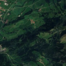
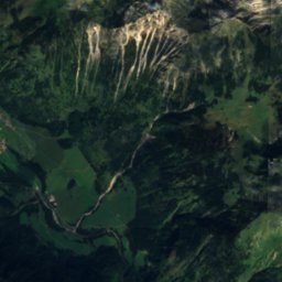
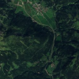
Vilsfall from above

Nature nearbyAll of Austria
Photo: User:Omnidoom 999 · CC BY-SA 3.0 · Wikimedia CommonsReport this photo · linked, not stored
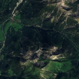
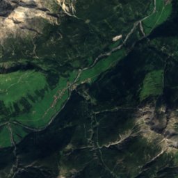
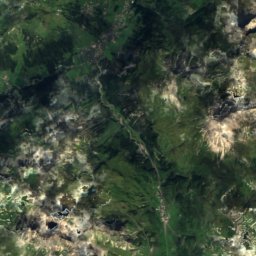
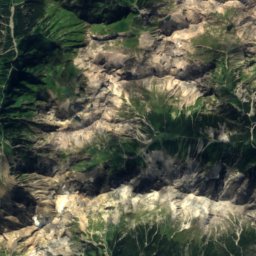
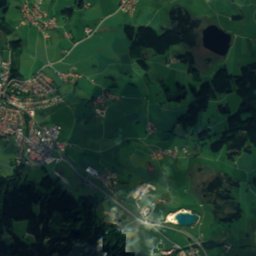
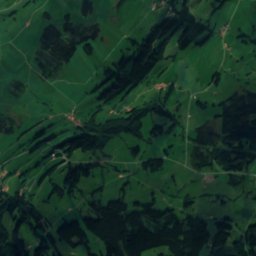
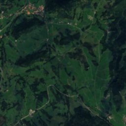
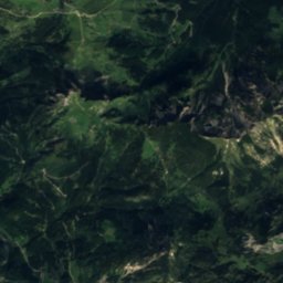
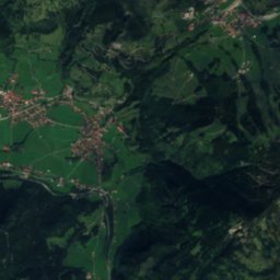
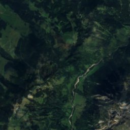
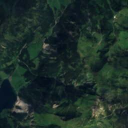
WertachRiver2.5 kmWWertach
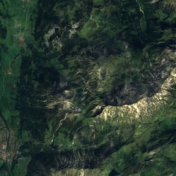
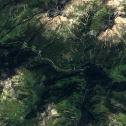
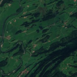
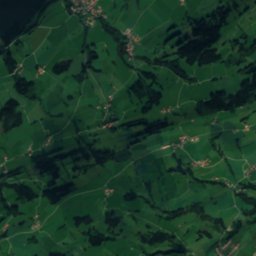
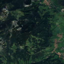
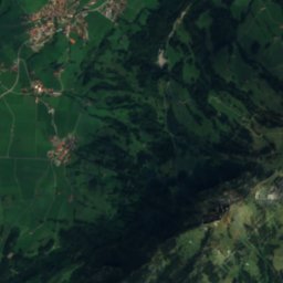
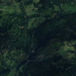
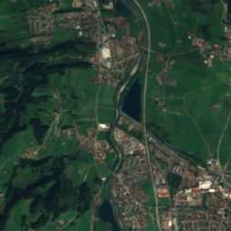
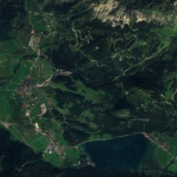
Satellite: Sentinel-2 cloudless 2016 by EOX IT Services GmbH · CC BY 4.0 · Contains modified Copernicus Sentinel data 2016
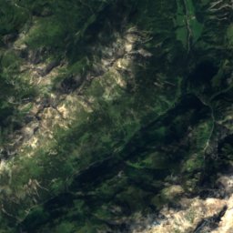
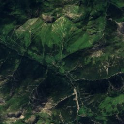
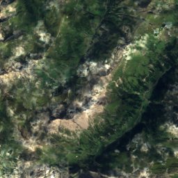
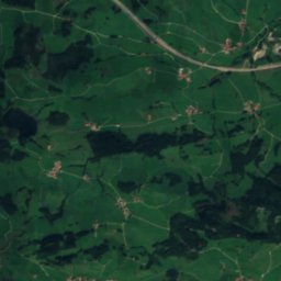
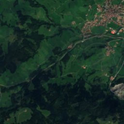
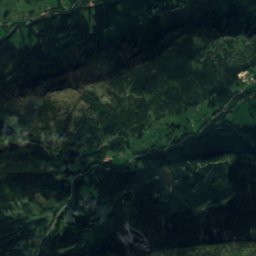
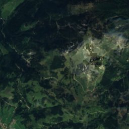
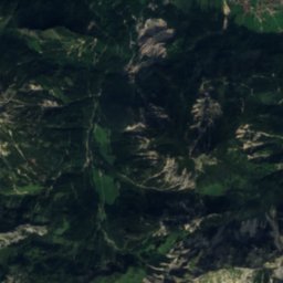
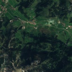
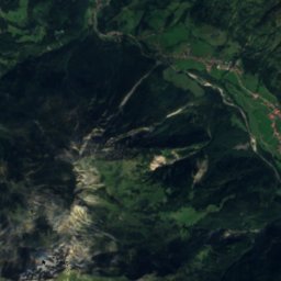
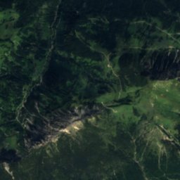
Berghaus IselerMountain hut4.1 kmSWBerghaus Iseler
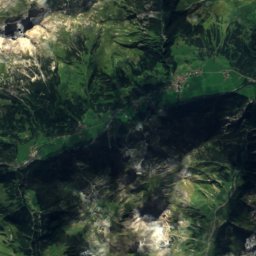
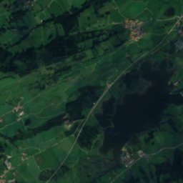
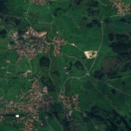
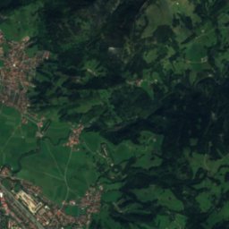
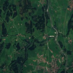
Satellite: Sentinel-2 cloudless 2016 by EOX IT Services GmbH · CC BY 4.0 · Contains modified Copernicus Sentinel data 2016
SchleierfallWaterfall5.4 kmSWSchleierfall
Photo: Rosa-Maria Rinkl · CC BY-SA 4.0 · Wikimedia CommonsReport this photo · linked, not stored
ZipfelsfallWaterfall6.0 kmSWZipfelsfall
Photo: Rosa-Maria Rinkl · CC BY-SA 4.0 · Wikimedia CommonsReport this photo · linked, not stored
WildfräuleinsteinCave6.0 kmSWildfräuleinstein
Photo: Kuebi = Armin Kübelbeck · CC BY-SA 4.0 · Wikimedia CommonsReport this photo · linked, not stored
Ostler HutMountain hut7.6 kmEOstler Hut
Summits nearbyMountains of Austria
Photo: Frstgr · CC BY-SA 3.0 · Wikimedia CommonsReport this photo · linked, not stored
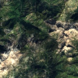
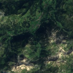
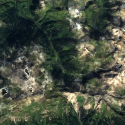
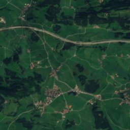
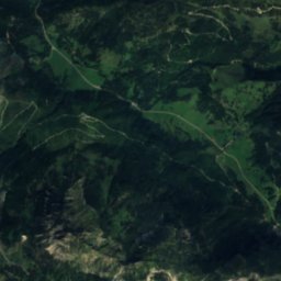
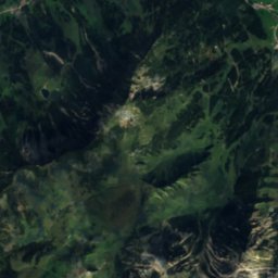
Marchspitze24 km S2,609 mJuly 12°Marchspitze
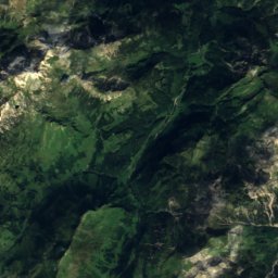
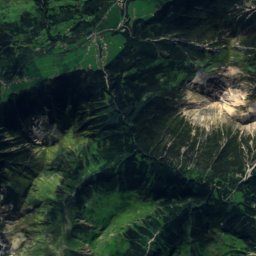
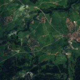
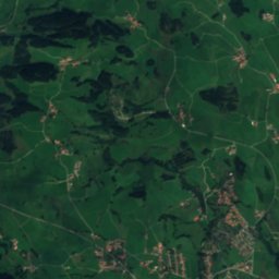
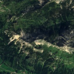
Satellite: Sentinel-2 cloudless 2016 by EOX IT Services GmbH · CC BY 4.0 · Contains modified Copernicus Sentinel data 2016
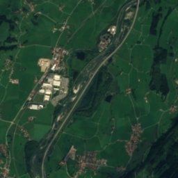
Bretterspitze22 km S2,608 mJuly 12°Bretterspitze
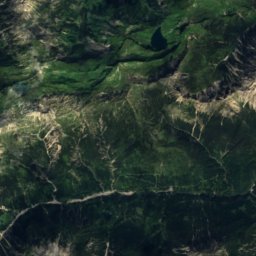
Satellite: Sentinel-2 cloudless 2016 by EOX IT Services GmbH · CC BY 4.0 · Contains modified Copernicus Sentinel data 2016
Noppenspitze23 km S2,594 mJuly 12°Noppenspitze
Photo: Martin Kraft · CC BY-SA 3.0 · Wikimedia CommonsReport this photo · linked, not stored
Hochvogel16 km S2,592 mJuly 12°Hochvogel
Photo: Kauk0r · CC BY-SA 3.0 · Wikimedia CommonsReport this photo · linked, not stored
Kreuzkarspitze23 km S2,587 mJuly 12°Kreuzkarspitze
Photo: Kauk0r · CC BY-SA 3.0 · Wikimedia CommonsReport this photo · linked, not stored
Öfnerspitze25 km S2,576 mJuly 12°Öfnerspitze
Stay nearby

Towns close by

Schattwald
Photo: Kauk0r · CC BY-SA 3.0 · Wikimedia CommonsReport this photo · linked, not stored

Schattwald

Tyrol · 1.6 km S
13°Oct high
12wet days
39score
Schattwald
Unterjoch
Photo: Wald-Burger8 · CC BY-SA 4.0 · Wikimedia CommonsReport this photo · linked, not stored

Unterjoch

Bavaria · 2.7 km NW
13°Oct high
12wet days
40score
Unterjoch
Zöblen
Photo: Lokilech · CC BY-SA 3.0 · Wikimedia CommonsReport this photo · linked, not stored

Zöblen

Tyrol · 2.9 km SE
13°Oct high
12wet days
39score
Zöblen
Jungholz
Photo: ChrisE · Public domain · Wikimedia CommonsReport this photo · linked, not stored

Jungholz

Tyrol · 5.2 km N
12°Oct high
12wet days
38score
Jungholz
Around here

Schattwald and around

Schattwald
Photo: Kauk0r · CC BY-SA 3.0 · Wikimedia CommonsReport this photo · linked, not stored

Schattwald

Tyrol · Austria
Jun–Augbest months
21°July high
1,074 maltitude
Schattwald

Nature

Wertach
Photo: User:Omnidoom 999 · CC BY-SA 3.0 · Wikimedia CommonsReport this photo · linked, not stored
3.4 km NW

Wertach

River
Wertach
Vilsalpsee
Photo: Bernd Haynold · CC BY 2.5 · Wikimedia CommonsReport this photo · linked, not stored
6.5 km SE

Vilsalpsee

Lake · 1,165 m
Vilsalpsee
Haldensee
Photo: Harald Hetzner · CC0 · Wikimedia CommonsReport this photo · linked, not stored
9.0 km E

Haldensee

Lake · 1,124 m
Haldensee

Mountains

Parseierspitze
Photo: Karl Haarmann · CC BY-SA 3.0 · Wikimedia CommonsReport this photo · linked, not stored
38 km S

Parseierspitze

3,036 m · Lechtal Alps
Parseierspitze
Gatschkopf, Grins
Photo: Karl Haarmann · CC BY-SA 3.0 · Wikimedia CommonsReport this photo · linked, not stored
38 km S

Gatschkopf, Grins

2,945 m · Lechtal Alps
Gatschkopf, Grins
Satellite: Sentinel-2 cloudless 2016 by EOX IT Services GmbH · CC BY 4.0 · Contains modified Copernicus Sentinel data 2016
35 km S

Wetterspitze

2,895 m · Lechtal Alps
Wetterspitze

Heritage

Pfarrkirche hl. Wolfgang, Schattwald
Photo: OW (talk) · CC BY 3.0 · Wikimedia CommonsReport this photo · linked, not stored
0.3 km NE

Pfarrkirche hl. Wolfgang, Schattwald

Listed objects in Austria
Pfarrkirche hl. Wolfgang, Schattwald
Expositurkirche Zöblen
Photo: OW (talk) · CC BY 3.0 · Wikimedia CommonsReport this photo · linked, not stored
1.5 km SE

Expositurkirche Zöblen

Listed objects in Austria
Expositurkirche Zöblen
Falkenstein Castle, Pfronten
Photo: Dark Avenger · CC BY-SA 3.0 · Wikimedia CommonsReport this photo · linked, not stored
12 km NE

Falkenstein Castle, Pfronten

architectural heritage monument in Bavaria · 1280
Falkenstein Castle, Pfronten

Museums

Heimatmuseum Tannheim
Photo: OW (talk) · CC BY 3.0 · Wikimedia CommonsReport this photo · linked, not stored
3.5 km E

Heimatmuseum Tannheim

Local museum
Heimatmuseum Tannheim
Heimathaus Pfronten
Photo: user:herzemann · CC BY-SA 3.0 · Wikimedia CommonsReport this photo · linked, not stored
11 km NE

Heimathaus Pfronten

Heimathaus Pfronten
Museum Vils
Photo: -- · Public domain · Wikimedia CommonsReport this photo · linked, not stored
13 km E

Museum Vils

Local museum
Museum Vils