Skip to content
Destinations
Weather & climate
Nature
Outdoors
Culture
Events
Sky & live
Stueberfall
Photo: Asurnipal · CC BY-SA 4.0 · Wikimedia Commons
StueberfallReport this photo · linked, not stored
Salaruelbach
Photo: Asurnipal · CC BY-SA 4.0 · Wikimedia Commons
SalaruelbachReport this photo · linked, not stored
Salaruelbach
Hirschsee
Photo: Asurnipal · CC BY-SA 4.0 · Wikimedia Commons
HirschseeReport this photo · linked, not stored
Hirschsee
Pfälzerhütte
Photo: ANKAWÜ · CC BY-SA 3.0 · Wikimedia Commons
PfälzerhütteReport this photo · linked, not stored
Pfälzerhütte
Oberzalimhütte
Photo: Feel free to use my photos, but please mention me as the author and if you want · CC BY-SA 3.0 at · Wikimedia Commons
OberzalimhütteReport this photo · linked, not stored
Oberzalimhütte
WaterfallBrand, Vorarlberg

Stueberfall

Waterfall1,487 m elevationBest Jun–Aug
Elevation1,487 mabove sea level
Height70 mof the falls
Nearest townMalbun3.5 km
47.08° N, 9.64° EElevation 1,487 mUTC+2 · Central European Summer Time
When to goBrand · weather score
JanFebMarAprMayJunJulAugSepOctNovDec41October
Best timeJun–Aug
October: high / low13° / 4°
Waterfall

Stueberfall in brief

Stueberfall is a waterfall in Brand, Vorarlberg, Austria.

It lies at 1,487 m above sea level and drops 70 m.

The nearest town in the atlas is Malbun, 3.5 km to the NW, where the weather is best in June, July and August.

Malbun: weather and travel guide

Weather nearby now

Forecast for Malbun
5°
Partly cloudy now
Wind1 km/h
Humidity53%
Cloud cover41%
Today
22 Oct
5°
-4°
Fri
23 Oct
8°
-3°
3 mm
Sat
24 Oct
1°
-5°
7 mm
Sun
25 Oct
4°
-2°
13 mm
Mon
26 Oct
9°
-1°

Model run 00:00 UTCRefreshed several times a day

When to go

The best months around Stueberfall

Climate of Malbun

Month score in Malbun

Comfort, dry days and sunshine · out of 100
20
Jan
22
Feb
17
Mar
18
Apr
31
May
46
Jun
58
Jul
56
Aug
35
Sep
22
Oct
23
Nov
19
Dec
Map

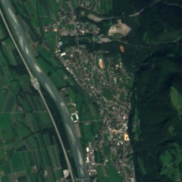
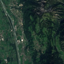
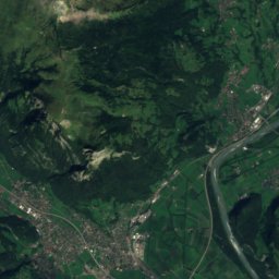
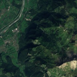
Stueberfall from above

Nature nearbyAll of Austria
Photo: Asurnipal · CC BY-SA 4.0 · Wikimedia CommonsReport this photo · linked, not stored
SalaruelbachRiver1.3 kmNESalaruelbach
Photo: Asurnipal · CC BY-SA 4.0 · Wikimedia CommonsReport this photo · linked, not stored
HirschseeLake2.1 kmEHirschsee
Photo: ANKAWÜ · CC BY-SA 3.0 · Wikimedia CommonsReport this photo · linked, not stored
PfälzerhütteMountain hut2.1 kmWPfälzerhütte
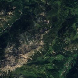
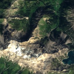
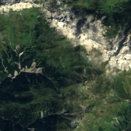
Satellite: Sentinel-2 cloudless 2016 by EOX IT Services GmbH · CC BY 4.0 · Contains modified Copernicus Sentinel data 2016
WildmannschilchliCave3.3 kmNWildmannschilchli
Photo: Feel free to use my photos, but please mention me as the author and if you want · CC BY-SA 3.0 at · Wikimedia CommonsReport this photo · linked, not stored
OberzalimhütteMountain hut4.0 kmEOberzalimhütte
Photo: ANKAWÜ · CC BY-SA 3.0 · Wikimedia CommonsReport this photo · linked, not stored
Mannheimer HütteMountain hut4.2 kmEMannheimer Hütte
Summits nearbyMountains of Austria
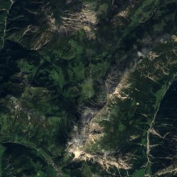
Photo: Jörg Braukmann · CC BY-SA 4.0 · Wikimedia CommonsReport this photo · linked, not stored
Schesaplana5.7 km SE2,965 mJuly 8°Schesaplana
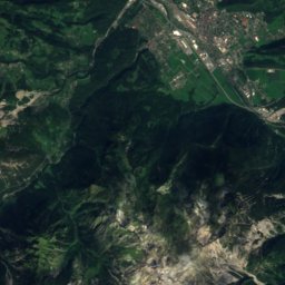
Satellite: Sentinel-2 cloudless 2016 by EOX IT Services GmbH · CC BY 4.0 · Contains modified Copernicus Sentinel data 2016
Panüelerkopf3.2 km E2,859 mJuly 10°Panüelerkopf
Photo: Chogori01 · CC BY-SA 3.0 · Wikimedia CommonsReport this photo · linked, not stored
Pizol23 km SW2,844 mJuly 9°Pizol
Photo: Svickova · Public domain · Wikimedia CommonsReport this photo · linked, not stored
Salaruelkopf3.3 km SE2,841 mJuly 8°Salaruelkopf
Photo: böhringer friedrich · CC BY-SA 2.5 · Wikimedia CommonsReport this photo · linked, not stored
Felsenkopf6.2 km SE2,835 mJuly 8°Felsenkopf
Photo: Giacomo1970 · CC BY-SA 3.0 · Wikimedia CommonsReport this photo · linked, not stored
Drei Türme14 km SE2,830 mJuly 11°Drei Türme
Stay nearby

Towns close by

Malbun
Photo: Mislep · CC BY 4.0 · Wikimedia CommonsReport this photo · linked, not stored

Malbun

Triesenberg · 3.5 km NW
10°Oct high
13wet days
22score
Malbun
Steg
Photo: SchiDD · CC BY-SA 4.0 · Wikimedia CommonsReport this photo · linked, not stored

Steg

Triesenberg · 6.3 km NW
11°Oct high
13wet days
30score
Steg
Brand
Photo: Erwin1990 · CC BY-SA 3.0 · Wikimedia CommonsReport this photo · linked, not stored

Brand

Vorarlberg · 7.8 km E
13°Oct high
13wet days
41score
Brand
Wangerberg
Photo: TheBritinator · CC BY-SA 4.0 · Wikimedia CommonsReport this photo · linked, not stored

Wangerberg

Triesenberg · 7.9 km NW
14°Oct high
13wet days
42score
Wangerberg
Around here

Brand and around

Brand
Photo: Erwin1990 · CC BY-SA 3.0 · Wikimedia CommonsReport this photo · linked, not stored

Brand

Vorarlberg · Austria
Jun–Augbest months
22°July high
1,035 maltitude
Brand

Nature

Lünersee
Photo: böhringer friedrich · CC BY-SA 2.5 · Wikimedia CommonsReport this photo · linked, not stored
5.7 km S

Lünersee

Lake · 1,970 m
Lünersee
Lutz
Photo: Tobias1984 · CC BY-SA 3.0 · Wikimedia CommonsReport this photo · linked, not stored
8.6 km N

Lutz

River
Lutz
Hirschsee
Photo: Asurnipal · CC BY-SA 4.0 · Wikimedia CommonsReport this photo · linked, not stored
5.8 km SW

Hirschsee

Lake · 1,677 m
Hirschsee

Mountains

Verstanclahorn
Photo: Biovit · Public domain · Wikimedia CommonsReport this photo · linked, not stored
39 km SE

Verstanclahorn

3,298 m · Silvretta Alps
Verstanclahorn
Ringelspitz
Photo: Nicolas Zogg · CC BY-SA 3.0 · Wikimedia CommonsReport this photo · linked, not stored
37 km SW

Ringelspitz

3,247 m · Tamina Alps
Ringelspitz
Silvrettahorn
Photo: Cactus26 · CC BY-SA 3.0 · Wikimedia CommonsReport this photo · linked, not stored
38 km SE

Silvrettahorn

3,244 m · Silvretta Alps
Silvrettahorn

Heritage

Mariä Himmelfahrt, Brand
Photo: böhringer friedrich · CC BY-SA 2.5 · Wikimedia CommonsReport this photo · linked, not stored
0.3 km N

Mariä Himmelfahrt, Brand

Listed objects in Austria
Mariä Himmelfahrt, Brand
Salginatobel Bridge
Photo: Rama · CC BY-SA 2.0 fr · Wikimedia CommonsReport this photo · linked, not stored
13 km S

Salginatobel Bridge

Historic Civil Engineering Landmark · 1930
Salginatobel Bridge
Parish church Triesenberg
Photo: Ramessos · Public domain · Wikimedia CommonsReport this photo · linked, not stored
15 km W

Parish church Triesenberg

cultural heritage monument in Liechtenstein · 1940
Parish church Triesenberg

Museums

Heimatmuseum Schruns
Photo: böhringer friedrich · CC BY-SA 2.5 · Wikimedia CommonsReport this photo · linked, not stored
14 km E

Heimatmuseum Schruns

Heimatmuseum Schruns
Prättigau local history museum
Photo: Adrian Michael · CC BY-SA 3.0 · Wikimedia CommonsReport this photo · linked, not stored
15 km SW

Prättigau local history museum

Local museum · 1971
Prättigau local history museum
Bauernhofanlage, Paarhof Buacher - Heimatmuseum
Photo: Mef.ellingen · CC BY 3.0 · Wikimedia CommonsReport this photo · linked, not stored
6.0 km NE

Bauernhofanlage, Paarhof Buacher - Heimatmuseum

Local museum
Bauernhofanlage, Paarhof Buacher - Heimatmuseum