Skip to content
Destinations
Weather & climate
Nature
Outdoors
Culture
Events
Sky & live
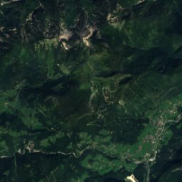
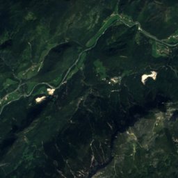
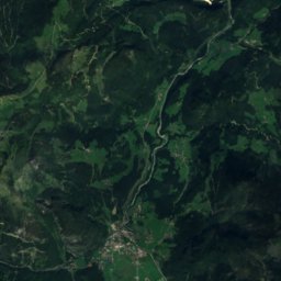
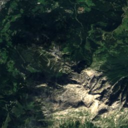
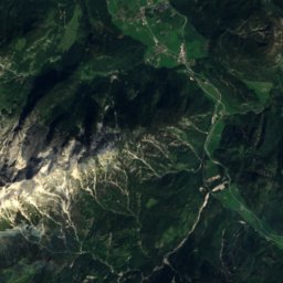
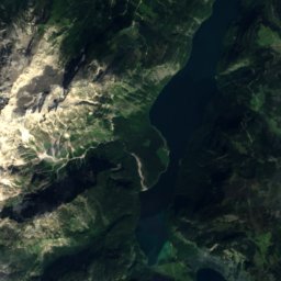
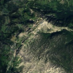
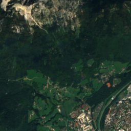
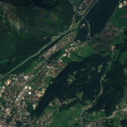
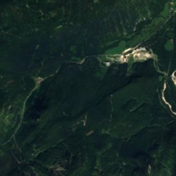
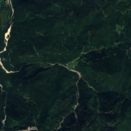
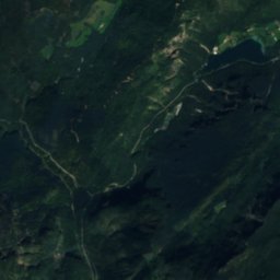
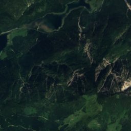
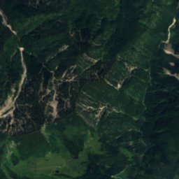
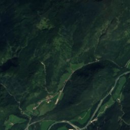
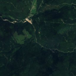
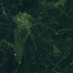
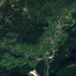
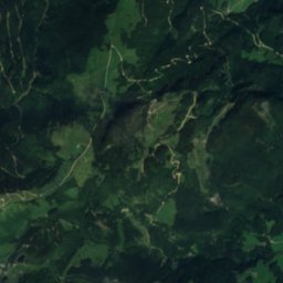
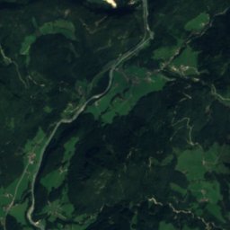
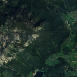
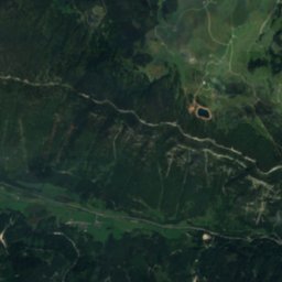
Satellite: Sentinel-2 cloudless 2016 by EOX IT Services GmbH · CC BY 4.0 · Contains modified Copernicus Sentinel data 2016
Weißbach (Schneizlreuth)
Photo: above information must be referenced or copied · Attribution · Wikimedia Commons
Weißbach (Schneizlreuth)Report this photo · linked, not stored
Weißbach (Schneizlreuth)
Neue Traunsteiner Hütte
Photo: Jörg Braukmann · CC BY-SA 4.0 · Wikimedia Commons
Neue Traunsteiner HütteReport this photo · linked, not stored
Neue Traunsteiner Hütte
Karstquelle Schwarzbachloch
Photo: © Freak-Line-Community / Wikimedia Commons · CC BY-SA 3.0 · Wikimedia Commons
Karstquelle SchwarzbachlochReport this photo · linked, not stored
Karstquelle Schwarzbachloch
Thum-See
Photo: Unknown author · CC BY-SA 3.0 · Wikimedia Commons
Thum-SeeReport this photo · linked, not stored
Thum-See
RiverUnken, Salzburg

Steinbach

RiverBest Jul–Sep
Elevation–above sea level
Length1.9 kmsource to mouth
Nearest townUnken2.5 km
47.66° N, 12.76° EUTC+2 · Central European Summer Time
When to goUnken · weather score
JanFebMarAprMayJunJulAugSepOctNovDec49October
Best timeJul–Sep
October: high / low15° / 5°
River

Steinbach in brief

Steinbach is a river in Unken, Salzburg, Austria.

The nearest town in the atlas is Unken, 2.5 km to the SW, where the weather is best in July, August and September.

Steinbach is 1.9 km long.

Unken: weather and travel guide

Weather nearby now

Forecast for Unken
11°
Sunny now
Wind7 km/h
Humidity55%
Cloud cover0%
Today
22 Oct
12°
4°
3 mm
Fri
23 Oct
16°
2°
3 mm
Sat
24 Oct
9°
1°
5 mm
Sun
25 Oct
12°
2°
12 mm
Mon
26 Oct
12°
7°

Model run 00:00 UTCRefreshed several times a day

When to go

The best months around Steinbach

Climate of Unken

Month score in Unken

Comfort, dry days and sunshine · out of 100
21
Jan
24
Feb
20
Mar
55
Apr
64
May
64
Jun
66
Jul
65
Aug
65
Sep
49
Oct
25
Nov
20
Dec
Map

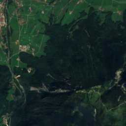
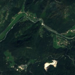
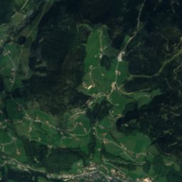
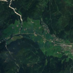
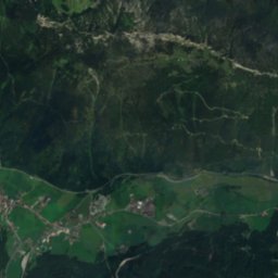
Steinbach from above

Nature nearbyAll of Austria
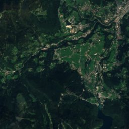
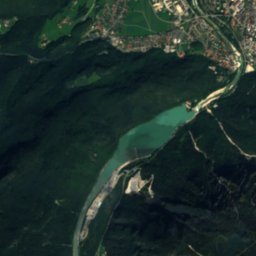
Satellite: Sentinel-2 cloudless 2016 by EOX IT Services GmbH · CC BY 4.0 · Contains modified Copernicus Sentinel data 2016
Müßbachwasserfall SW von SchneizlreuthWaterfall2.8 kmNEMüßbachwasserfall SW von Schneizlreuth
Photo: above information must be referenced or copied · Attribution · Wikimedia CommonsReport this photo · linked, not stored
Weißbach (Schneizlreuth)River4.4 kmNEWeißbach (Schneizlreuth)
Photo: Jörg Braukmann · CC BY-SA 4.0 · Wikimedia CommonsReport this photo · linked, not stored
Neue Traunsteiner HütteMountain hut5.1 kmSENeue Traunsteiner Hütte
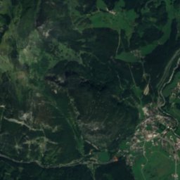
Satellite: Sentinel-2 cloudless 2016 by EOX IT Services GmbH · CC BY 4.0 · Contains modified Copernicus Sentinel data 2016
Schwarzbach (Saalach)River5.8 kmESchwarzbach (Saalach)
Photo: © Freak-Line-Community / Wikimedia Commons · CC BY-SA 3.0 · Wikimedia CommonsReport this photo · linked, not stored
Karstquelle SchwarzbachlochCave7.3 kmEKarstquelle Schwarzbachloch
Photo: Unknown author · CC BY-SA 3.0 · Wikimedia CommonsReport this photo · linked, not stored
Thum-SeeLake8.1 kmNEThum-See
Summits nearbyMountains of Austria
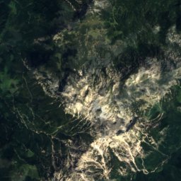
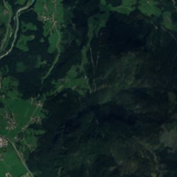
Satellite: Sentinel-2 cloudless 2016 by EOX IT Services GmbH · CC BY 4.0 · Contains modified Copernicus Sentinel data 2016
Watzmann Mittelspitze17 km SE2,713 mJuly 11°Watzmann Mittelspitze
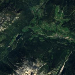
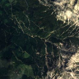
Satellite: Sentinel-2 cloudless 2016 by EOX IT Services GmbH · CC BY 4.0 · Contains modified Copernicus Sentinel data 2016
Watzmann-Südspitze18 km SE2,712 mJuly 14°Watzmann-Südspitze
Satellite: Sentinel-2 cloudless 2016 by EOX IT Services GmbH · CC BY 4.0 · Contains modified Copernicus Sentinel data 2016
Watzmann Hocheck17 km SE2,651 mJuly 11°Watzmann Hocheck
Photo: Luidger · CC BY 3.0 · Wikimedia CommonsReport this photo · linked, not stored
Birnhorn21 km S2,634 mJuly 13°Birnhorn
Photo: Jörg Braukmann · CC BY-SA 3.0 · Wikimedia CommonsReport this photo · linked, not stored
Hochkalter13 km SE2,607 mJuly 11°Hochkalter
Photo: Jörg Braukmann · CC BY-SA 4.0 · Wikimedia CommonsReport this photo · linked, not stored
Großer Hundstod19 km SE2,594 mJuly 11°Großer Hundstod
Stay nearby

Towns close by

Unken
Photo: Gakuro · CC BY-SA 3.0 · Wikimedia CommonsReport this photo · linked, not stored

Unken

Salzburg · 2.5 km SW
15°Oct high
13wet days
49score
Unken
Schneizlreuth
Photo: Mikmaq · CC BY-SA 3.0 · Wikimedia CommonsReport this photo · linked, not stored

Schneizlreuth

Bavaria · 3.9 km NE
15°Oct high
13wet days
48score
Schneizlreuth
Lofer
Photo: Thomas Ledl · CC BY 4.0 · Wikimedia CommonsReport this photo · linked, not stored

Lofer

Salzburg · 10 km SW
15°Oct high
13wet days
48score
Lofer
Inzell
Photo: Thorsten Hartmann · CC BY-SA 3.0 · Wikimedia CommonsReport this photo · linked, not stored

Inzell

Bavaria · 11 km N
14°Oct high
13wet days
42score
Inzell
Around here

Unken and around

Unken
Photo: Gakuro · CC BY-SA 3.0 · Wikimedia CommonsReport this photo · linked, not stored

Unken

Salzburg · Austria
Jul–Sepbest months
25°July high
546 maltitude
Unken

Nature

Weißbach (Schneizlreuth)
Photo: above information must be referenced or copied · Attribution · Wikimedia CommonsReport this photo · linked, not stored
6.9 km NE

Weißbach (Schneizlreuth)

River · 550 m
Weißbach (Schneizlreuth)
Röthelbach (Saalach)
Photo: Benutzer:Chatter / Wikipedia · CC BY-SA 3.0 · Wikimedia CommonsReport this photo · linked, not stored
11 km NE

Röthelbach (Saalach)

River
Röthelbach (Saalach)
Klausbach
Photo: Ratzer · CC BY-SA 4.0 · Wikimedia CommonsReport this photo · linked, not stored
11 km SE

Klausbach

River
Klausbach

Mountains

Hochkönig
Photo: StVeit Maps · CC BY-SA 4.0 · Wikimedia CommonsReport this photo · linked, not stored
36 km SE

Hochkönig

2,941 m · Hochkönig mountain range
Hochkönig
Hohe Köpfe, Salzburg
Photo: Tigerente · CC BY-SA 4.0 · Wikimedia CommonsReport this photo · linked, not stored
35 km SE

Hohe Köpfe, Salzburg

2,875 m · Hochkönig mountain range
Hohe Köpfe, Salzburg
Bratschenköpfe
Photo: Thorsten Hartmann · CC BY-SA 3.0 · Wikimedia CommonsReport this photo · linked, not stored
37 km SE

Bratschenköpfe

2,857 m · Hochkönig mountain range
Bratschenköpfe

Heritage

Festung Kniepass
Photo: Luckyprof · CC BY-SA 3.0 at · Wikimedia CommonsReport this photo · linked, not stored
1.7 km S

Festung Kniepass

Listed objects in Austria · 1991
Festung Kniepass
Freiheitskämpferdenkmal, Unken
Photo: Thomas Ledl · CC BY 4.0 · Wikimedia CommonsReport this photo · linked, not stored
under 100 m N

Freiheitskämpferdenkmal, Unken

Listed objects in Austria · 1908
Freiheitskämpferdenkmal, Unken
Schloss Oberrain, Unken
Photo: C.Stadler/Bwag · CC BY-SA 4.0 · Wikimedia CommonsReport this photo · linked, not stored
0.6 km S

Schloss Oberrain, Unken

Listed objects in Austria
Schloss Oberrain, Unken

Museums

Kalchofengut, Unken
Photo: Luckyprof · CC BY-SA 3.0 at · Wikimedia CommonsReport this photo · linked, not stored
0.5 km SW

Kalchofengut, Unken

Local museum · 1972
Kalchofengut, Unken
Satellite: Sentinel-2 cloudless 2016 by EOX IT Services GmbH · CC BY 4.0 · Contains modified Copernicus Sentinel data 2016
1.7 km S

Museum Festung Kniepass

Museum Festung Kniepass
ReichenhallMuseum
Photo: Luitold · CC BY-SA 3.0 · Wikimedia CommonsReport this photo · linked, not stored
14 km NE

ReichenhallMuseum

Regional museum
ReichenhallMuseum