Skip to content
Destinations
Weather & climate
Nature
Outdoors
Culture
Events
Sky & live
Stampflkees
Photo: I, Mreindl · CC BY-SA 3.0 · Wikimedia Commons
StampflkeesReport this photo · linked, not stored
Pfitscher-Joch-Haus
Photo: Tschöll · CC BY-SA 3.0 · Wikimedia Commons
Pfitscher-Joch-HausReport this photo · linked, not stored
Pfitscher-Joch-Haus
Olpererhütte
Photo: böhringer friedrich · CC BY-SA 2.5 · Wikimedia Commons
OlpererhütteReport this photo · linked, not stored
Olpererhütte
Landshuter Europahütte
Photo: Bernd Haynold · CC BY 2.5 · Wikimedia Commons
Landshuter EuropahütteReport this photo · linked, not stored
Landshuter Europahütte
Schlegeisspeicher
Photo: Feel free to use my photos, but please mention me as the author and if you want · CC BY-SA 3.0 at · Wikimedia Commons
SchlegeisspeicherReport this photo · linked, not stored
Schlegeisspeicher
GlacierVals, Tyrol

Stampflkees

GlacierBest Jun–Aug
Elevation–above sea level
Area–surface
Nearest townVals8.5 km
47.02° N, 11.64° EUTC+2 · Central European Summer Time
When to goVals · weather score
JanFebMarAprMayJunJulAugSepOctNovDec30October
Best timeJun–Aug
October: high / low12° / 3°
Glacier

Stampflkees in brief

Stampflkees is a glacier in Vals, Tyrol, Austria.

The nearest town in the atlas is Vals, 8.5 km to the W, where the weather is best in June, July and August.

Vals: weather and travel guide

Weather nearby now

Forecast for Vals
5°
Sunny now
Wind3 km/h
Humidity51%
Cloud cover5%
Today
22 Oct
5°
0°
2 mm
Fri
23 Oct
6°
-1°
1 mm
Sat
24 Oct
3°
-5°
2 mm
Sun
25 Oct
5°
-3°
2 mm
Mon
26 Oct
9°
0°

Model run 00:00 UTCRefreshed several times a day

When to go

The best months around Stampflkees

Climate of Vals

Month score in Vals

Comfort, dry days and sunshine · out of 100
20
Jan
23
Feb
18
Mar
26
Apr
48
May
60
Jun
62
Jul
61
Aug
54
Sep
30
Oct
22
Nov
20
Dec
Map

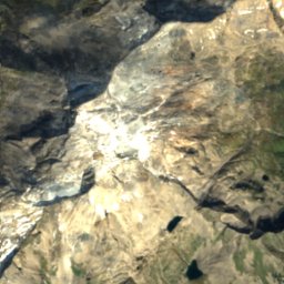
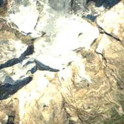
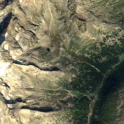
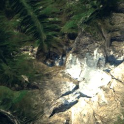
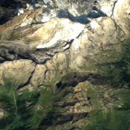
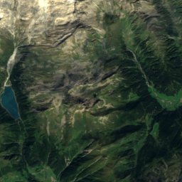
Stampflkees from above

Nature nearbyAll of Austria
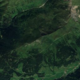
Satellite: Sentinel-2 cloudless 2016 by EOX IT Services GmbH · CC BY 4.0 · Contains modified Copernicus Sentinel data 2016
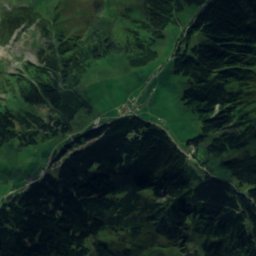
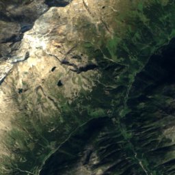
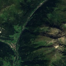
Alpeiner Ferner, SchmirnGlacier1.5 kmNAlpeiner Ferner, Schmirn
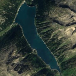
Satellite: Sentinel-2 cloudless 2016 by EOX IT Services GmbH · CC BY 4.0 · Contains modified Copernicus Sentinel data 2016
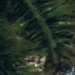
Geraer HütteMountain hut2.9 kmNGeraer Hütte
Photo: Tschöll · CC BY-SA 3.0 · Wikimedia CommonsReport this photo · linked, not stored
Pfitscher-Joch-HausMountain hut3.3 kmSEPfitscher-Joch-Haus
Photo: böhringer friedrich · CC BY-SA 2.5 · Wikimedia CommonsReport this photo · linked, not stored
OlpererhütteMountain hut4.7 kmNEOlpererhütte
Photo: Bernd Haynold · CC BY 2.5 · Wikimedia CommonsReport this photo · linked, not stored
Landshuter EuropahütteMountain hut4.9 kmSWLandshuter Europahütte
Photo: Feel free to use my photos, but please mention me as the author and if you want · CC BY-SA 3.0 at · Wikimedia CommonsReport this photo · linked, not stored
SchlegeisspeicherLake5.4 kmESchlegeisspeicher
Summits nearbyMountains of Austria
Photo: Carsten Steger · CC BY-SA 4.0 · Wikimedia CommonsReport this photo · linked, not stored
Hochfeiler8.5 km SE3,509 mJuly 6°Hochfeiler
Photo: Carsten Steger · CC BY-SA 4.0 · Wikimedia CommonsReport this photo · linked, not stored
Großer Möseler11 km E3,480 mJuly 6°Großer Möseler
Photo: Haneburger · Public domain · Wikimedia CommonsReport this photo · linked, not stored
Olperer4.2 km NE3,476 mJuly 6°Olperer
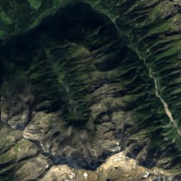
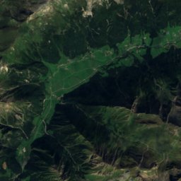
Satellite: Sentinel-2 cloudless 2016 by EOX IT Services GmbH · CC BY 4.0 · Contains modified Copernicus Sentinel data 2016
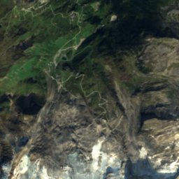
Hochfernerspitze7.6 km SE3,470 mJuly 6°Hochfernerspitze
Photo: Carsten Steger · CC BY-SA 4.0 · Wikimedia CommonsReport this photo · linked, not stored
Turnerkamp13 km E3,420 mJuly 6°Turnerkamp
Photo: Carsten Steger · CC BY-SA 4.0 · Wikimedia CommonsReport this photo · linked, not stored
Schrammacher1.0 km N3,410 mJuly 7°Schrammacher
Stay nearby

Towns close by

Vals
Photo: Piergiuliano Chesi · CC BY 3.0 · Wikimedia CommonsReport this photo · linked, not stored

Vals

Tyrol · 8.5 km W
12°Oct high
13wet days
30score
Vals
Schmirn
Photo: Frans Bosch at nl.wikipedia · CC BY-SA 3.0 · Wikimedia CommonsReport this photo · linked, not stored

Schmirn

Tyrol · 9.0 km NW
11°Oct high
13wet days
25score
Schmirn
Brennero
Photo: Piergiuliano Chesi · CC BY-SA 3.0 · Wikimedia CommonsReport this photo · linked, not stored

Brennero

Trentino-Alto Adige · 10 km W
11°Oct high
13wet days
26score
Brennero
Gries am Brenner
Photo: Michielverbeek · CC BY-SA 3.0 · Wikimedia CommonsReport this photo · linked, not stored

Gries am Brenner

Tyrol · 12 km W
12°Oct high
13wet days
34score
Gries am Brenner
Around here

Vals and around

Vals
Photo: Piergiuliano Chesi · CC BY 3.0 · Wikimedia CommonsReport this photo · linked, not stored

Vals

Tyrol · Austria
Jun–Augbest months
22°July high
1,265 maltitude
Vals

Nature

Brennersee
Photo: Llorenzi · CC BY-SA 3.0 · Wikimedia CommonsReport this photo · linked, not stored
3.7 km SW

Brennersee

Lake · 1,311 m
Brennersee
Gschnitzbach
Photo: Kritzolina · CC BY-SA 4.0 · Wikimedia CommonsReport this photo · linked, not stored
7.4 km NW

Gschnitzbach

River
Gschnitzbach
Lichtsee
Photo: Kajetan Fuisz · CC BY-SA 3.0 · Wikimedia CommonsReport this photo · linked, not stored
9.8 km W

Lichtsee

Lake · 2,101 m
Lichtsee

Mountains

Hochfeiler
Photo: Carsten Steger · CC BY-SA 4.0 · Wikimedia CommonsReport this photo · linked, not stored
17 km SE

Hochfeiler

3,509 m
Hochfeiler
Zuckerhütl
Photo: Unknown author · CC BY-SA 3.0 · Wikimedia CommonsReport this photo · linked, not stored
30 km W

Zuckerhütl

3,507 m · Stubai Alps
Zuckerhütl
Pfaffenschneide
Photo: Jörg Braukmann · CC BY-SA 4.0 · Wikimedia CommonsReport this photo · linked, not stored
31 km W

Pfaffenschneide

3,498 m · Stubai Alps
Pfaffenschneide

Heritage

Brenner railway station
Photo: Pimvantend · CC BY-SA 3.0 · Wikimedia CommonsReport this photo · linked, not stored
5.2 km SW

Brenner railway station

Cultural heritage monument in South Tyrol
Brenner railway station
Our Lady of Help chapel, Brennero
Photo: Llorenzi · CC BY-SA 3.0 · Wikimedia CommonsReport this photo · linked, not stored
8.6 km SW

Our Lady of Help chapel, Brennero

Cultural heritage monument in South Tyrol · 1882
Our Lady of Help chapel, Brennero
Colle Isarco/Gossensaß railway station
Photo: Piergiuliano Chesi · CC BY 3.0 · Wikimedia CommonsReport this photo · linked, not stored
14 km SW

Colle Isarco/Gossensaß railway station

Cultural heritage monument in South Tyrol
Colle Isarco/Gossensaß railway station

Museums

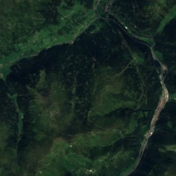
Satellite: Sentinel-2 cloudless 2016 by EOX IT Services GmbH · CC BY 4.0 · Contains modified Copernicus Sentinel data 2016
6.0 km SW

Plessi Museum

Plessi Museum