

Photo: Steffen 962 · CC BY-SA 4.0 · Wikimedia Commons
Coburger HütteReport this photo · linked, not stored
Coburger HütteCoburger HütteReport this photo · linked, not stored

Photo: Tiia Monto · CC BY-SA 3.0 · Wikimedia Commons
DrachenseeReport this photo · linked, not stored
DrachenseeDrachenseeReport this photo · linked, not stored

Photo: Wetze · CC BY-SA 4.0 · Wikimedia Commons
BreitenkopfhütteReport this photo · linked, not stored
BreitenkopfhütteBreitenkopfhütteReport this photo · linked, not stored

Photo: Cactus26 · CC BY-SA 3.0 · Wikimedia Commons
Zwieselbacher RosskogelReport this photo · linked, not stored
Zwieselbacher RosskogelZwieselbacher RosskogelReport this photo · linked, not stored
LakeBiberwier, Tyrol
Seebensee
Lake1,657 m elevationBest Jun–Aug
Elevation1,657 mabove sea level
Area–surface
Nearest townBiberwier3.1 km
47.37° N, 10.93° EElevation 1,657 mUTC+2 · Central European Summer Time
When to goBiberwier · weather score
Best timeJun–Aug
October: high / low14° / 3°
Lake
Seebensee in brief
Seebensee is a lake in Biberwier, Tyrol, Austria.
It lies at 1,657 m above sea level.
The nearest town in the atlas is Biberwier, 3.1 km to the NW, where the weather is best in June, July and August.
Weather nearby now
Forecast for Biberwier10°
Sunny now
Today
22 Oct
11°
2°
1 mm
Fri
23 Oct
11°
0°
3 mm
Sat
24 Oct
7°
1°
Sun
25 Oct
9°
1°
18 mm
Mon
26 Oct
13°
4°
Model run 00:00 UTCRefreshed several times a day
When to go
Climate of BiberwierThe best months around Seebensee
Month score in Biberwier
Comfort, dry days and sunshine · out of 10022
Jan
25
Feb
20
Mar
39
Apr
62
May
64
Jun
66
Jul
65
Aug
64
Sep
45
Oct
26
Nov
23
Dec
Map
Seebensee from above
Nature nearbyAll of Austria


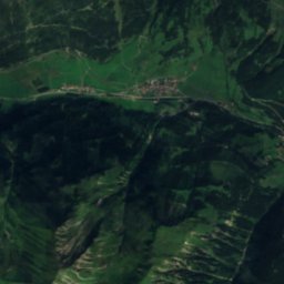
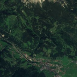
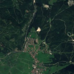
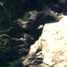
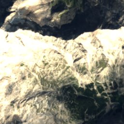
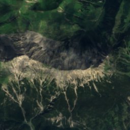
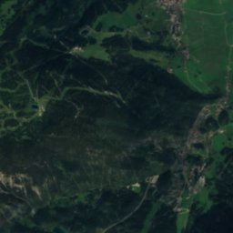
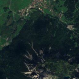
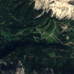
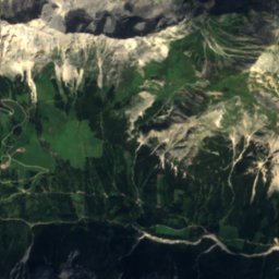
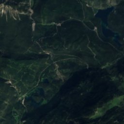
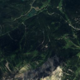
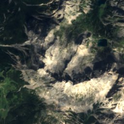
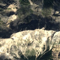
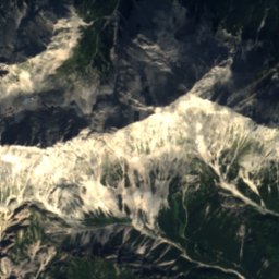
Satellite: Sentinel-2 cloudless 2016 by EOX IT Services GmbH · CC BY 4.0 · Contains modified Copernicus Sentinel data 2016
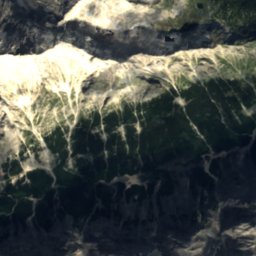
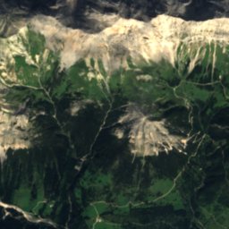
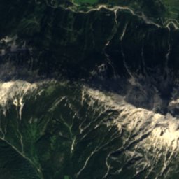
Satellite: Sentinel-2 cloudless 2016 by EOX IT Services GmbH · CC BY 4.0 · Contains modified Copernicus Sentinel data 2016
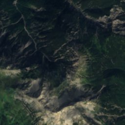
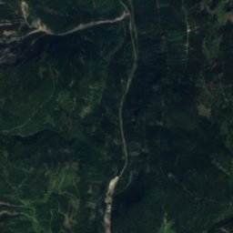
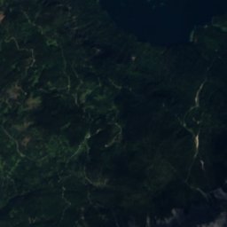
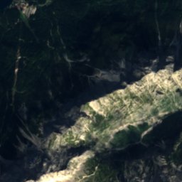
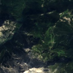
Satellite: Sentinel-2 cloudless 2016 by EOX IT Services GmbH · CC BY 4.0 · Contains modified Copernicus Sentinel data 2016
Summits nearbyMountains of Austria


Stay nearby
Towns close by


Photo: User: Bbb at wikivoyage shared · CC BY-SA 3.0 · Wikimedia CommonsReport this photo · linked, not stored
Lermoos
Tyrol · 5.6 km NW
13°Oct high
12wet days
42score
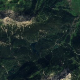
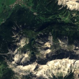
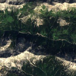
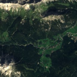
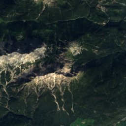
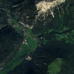
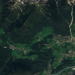
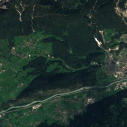
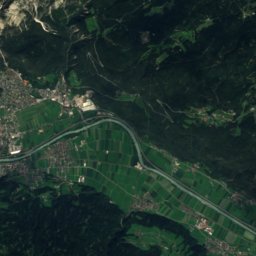
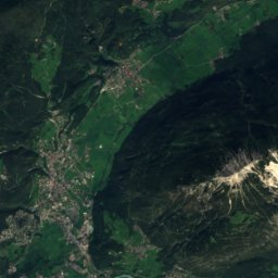
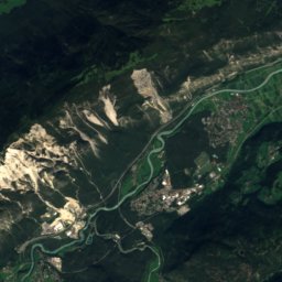
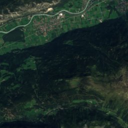
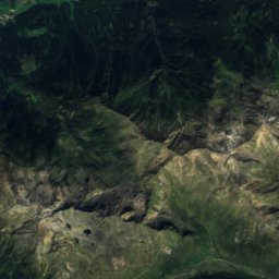
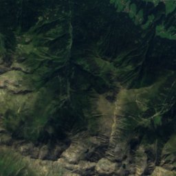
Satellite: Sentinel-2 cloudless 2016 by EOX IT Services GmbH · CC BY 4.0 · Contains modified Copernicus Sentinel data 2016
Obermieming
Tyrol · 7.3 km SE
14°Oct high
12wet days
49score
Around here
Biberwier and around
Nature


Mountains
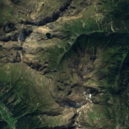
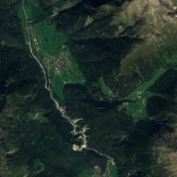
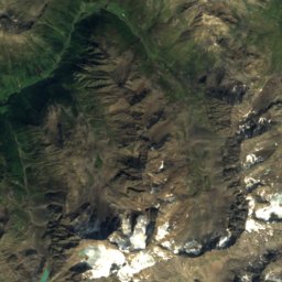
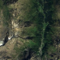
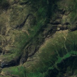
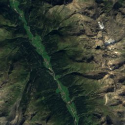
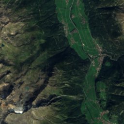
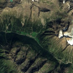
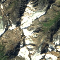
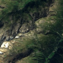
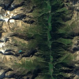
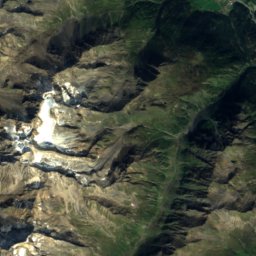
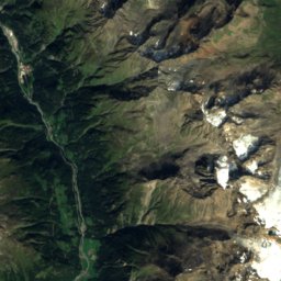
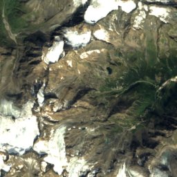
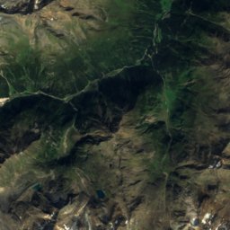
Satellite: Sentinel-2 cloudless 2016 by EOX IT Services GmbH · CC BY 4.0 · Contains modified Copernicus Sentinel data 2016
Schrandele
3,393 m · Stubai Alps


Photo: Simon Legner (User:simon04) · CC BY-SA 4.0 · Wikimedia CommonsReport this photo · linked, not stored
Hinterer Brunnenkogel, Längenfeld
3,325 m · Stubai Alps
Heritage

Pfarrkirche Mariä Heimsuchung, Ehrwald
Listed objects in Austria · 1729

Kapelle Mariahilf in der Schmitte (bei der Schmieden)
Listed objects in Austria · 1850

Photo: David Short from Windsor, UK · CC BY 2.0 · Wikimedia CommonsReport this photo · linked, not stored
Rochuskapelle, Biberwier
Listed objects in Austria · 1611
Museums
Satellite: Sentinel-2 cloudless 2016 by EOX IT Services GmbH · CC BY 4.0 · Contains modified Copernicus Sentinel data 2016
Heimatmuseum Ehrwald
Local museum


