
Photo: Ewald Gabardi · CC BY-SA 3.0 · Wikimedia Commons
SchönalmseeReport this photo · linked, not stored
SchönalmseeReport this photo · linked, not stored

Photo: Ewald Gabardi · CC BY-SA 3.0 · Wikimedia Commons
Twenger AlmseeReport this photo · linked, not stored
Twenger AlmseeTwenger AlmseeReport this photo · linked, not stored

Photo: Ewald Gabardi · CC BY-SA 3.0 · Wikimedia Commons
Oberer WirpitschseeReport this photo · linked, not stored
Oberer WirpitschseeOberer WirpitschseeReport this photo · linked, not stored

Photo: Ewald Gabardi · CC BY-SA 3.0 · Wikimedia Commons
WirpitschseeReport this photo · linked, not stored
WirpitschseeWirpitschseeReport this photo · linked, not stored

Photo: Ewald Gabardi · CC BY-SA 3.0 · Wikimedia Commons
Unterer SchönalmseeReport this photo · linked, not stored
Unterer SchönalmseeUnterer SchönalmseeReport this photo · linked, not stored
LakeObertauern, Salzburg
Schönalmsee
Lake2,115 m elevationBest Jun–Aug
Elevation2,115 mabove sea level
Area–surface
Nearest townObertauern4.3 km
47.22° N, 13.60° EElevation 2,115 mUTC+2 · Central European Summer Time
When to goObertauern · weather score
Best timeJun–Aug
October: high / low8° / 1°
Lake
Schönalmsee in brief
Schönalmsee is a lake in Obertauern, Salzburg, Austria.
It lies at 2,115 m above sea level.
The nearest town in the atlas is Obertauern, 4.3 km to the NW, where the weather is best in June, July and August.
Weather nearby now
Forecast for Obertauern3°
Partly cloudy now
Today
22 Oct
2°
-3°
7 mm
Fri
23 Oct
6°
-2°
Sat
24 Oct
0°
-3°
10 mm
Sun
25 Oct
4°
-5°
2 mm
Mon
26 Oct
7°
1°
1 mm
Model run 00:00 UTCRefreshed several times a day
When to go
Climate of ObertauernThe best months around Schönalmsee
Month score in Obertauern
Comfort, dry days and sunshine · out of 10018
Jan
19
Feb
15
Mar
16
Apr
20
May
40
Jun
52
Jul
52
Aug
25
Sep
19
Oct
17
Nov
15
Dec
Map
Schönalmsee from above
Nature nearbyAll of Austria


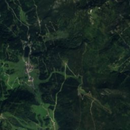
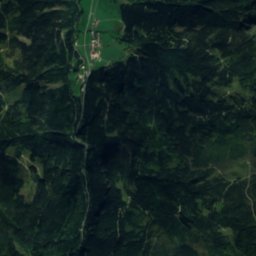
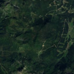
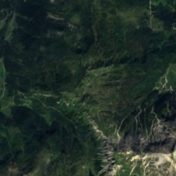
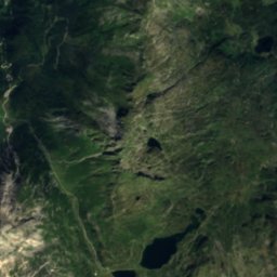
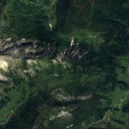
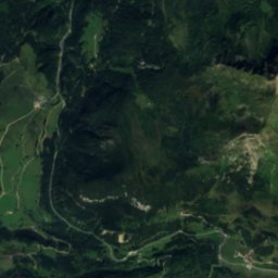
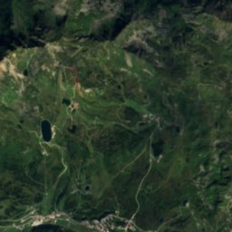
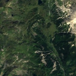
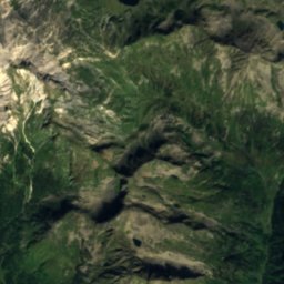
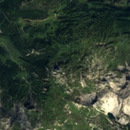
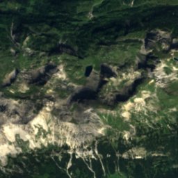
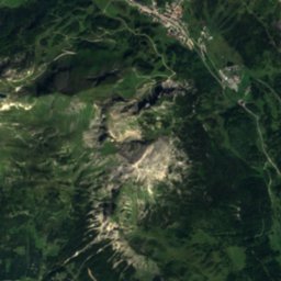
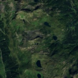
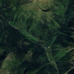
Satellite: Sentinel-2 cloudless 2016 by EOX IT Services GmbH · CC BY 4.0 · Contains modified Copernicus Sentinel data 2016
Summits nearbyMountains of Austria

Photo: Dorothea Witter-Rieder · CC BY-SA 3.0 · Wikimedia CommonsReport this photo · linked, not stored
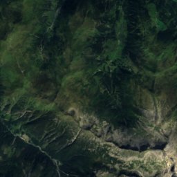
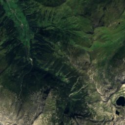
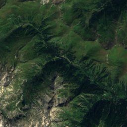
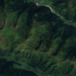
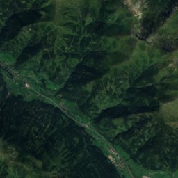
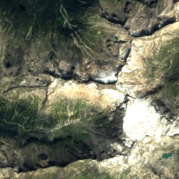
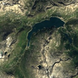
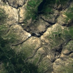
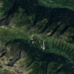
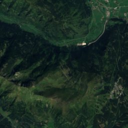
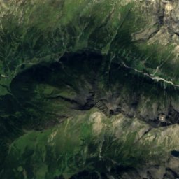
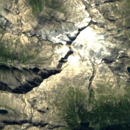
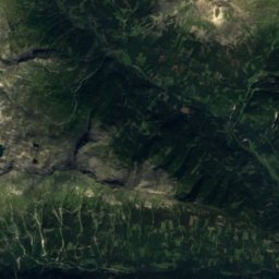
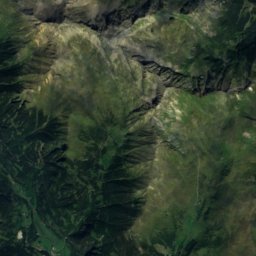
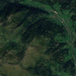
Satellite: Sentinel-2 cloudless 2016 by EOX IT Services GmbH · CC BY 4.0 · Contains modified Copernicus Sentinel data 2016

Satellite: Sentinel-2 cloudless 2016 by EOX IT Services GmbH · CC BY 4.0 · Contains modified Copernicus Sentinel data 2016
Satellite: Sentinel-2 cloudless 2016 by EOX IT Services GmbH · CC BY 4.0 · Contains modified Copernicus Sentinel data 2016
Satellite: Sentinel-2 cloudless 2016 by EOX IT Services GmbH · CC BY 4.0 · Contains modified Copernicus Sentinel data 2016
Stay nearby
Towns close by


Photo: Dorothea Witter-Rieder · Public domain · Wikimedia CommonsReport this photo · linked, not stored
Weißpriach
Salzburg · 4.8 km E
12°Oct high
13wet days
29score

Photo: Arne Müseler / www.arne-mueseler.com · CC BY-SA 3.0 de · Wikimedia CommonsReport this photo · linked, not stored
Zederhaus
Salzburg · 11 km SW
12°Oct high
13wet days
29score
Around here
Obertauern and around
Nature


Mountains


Heritage

Photo: Jörg Typ34 (Diskussion)Jörg Fischer · CC BY-SA 3.0 de · Wikimedia CommonsReport this photo · linked, not stored
Tauernfriedhof
Listed objects in Austria

Satellite: Sentinel-2 cloudless 2016 by EOX IT Services GmbH · CC BY 4.0 · Contains modified Copernicus Sentinel data 2016
Filialkirche Obertauern
Listed objects in Austria
Satellite: Sentinel-2 cloudless 2016 by EOX IT Services GmbH · CC BY 4.0 · Contains modified Copernicus Sentinel data 2016
Tauernhaus Wisenegg
Listed objects in Austria
Museums


Photo: Markus 'Mex' Winkler · CC BY-SA 3.0 at · Wikimedia CommonsReport this photo · linked, not stored

Maurergut, Rothenwand
Local museum

Photo: Markus 'Mex' Winkler · CC BY-SA 3.0 at · Wikimedia CommonsReport this photo · linked, not stored

Maurermühle, Rothenwand
Local museum · 1984