
Photo: Tigerente · CC BY 4.0 · Wikimedia Commons
Schleierfall, Upper AustriaReport this photo · linked, not stored
Schleierfall, Upper AustriaReport this photo · linked, not stored

Photo: Tigerente · CC BY-SA 3.0 at · Wikimedia Commons
Kalkalpen National ParkReport this photo · linked, not stored
Kalkalpen National ParkKalkalpen National ParkReport this photo · linked, not stored
 Ennser Hüttte

Photo: Isiwal/Wikimedia Commons/CC BY-SA 4.0 · CC BY-SA 4.0 · Wikimedia Commons
WarscheneckReport this photo · linked, not stored
WarscheneckWarscheneckReport this photo · linked, not stored

Photo: Haneburger · Public domain · Wikimedia Commons
Admonter ReichensteinReport this photo · linked, not stored
Admonter ReichensteinAdmonter ReichensteinReport this photo · linked, not stored
WaterfallRosenau am Hengstpaß, Upper Austria
Schleierfall, Upper Austria
WaterfallBest Jul–Sep
Elevation–above sea level
Height–of the falls
Nearest townRosenau am Hengstpaß9.3 km
47.77° N, 14.49° EUTC+2 · Central European Summer Time
When to goRosenau am Hengstpaß · weather score
Best timeJul–Sep
October: high / low14° / 3°
Waterfall
Schleierfall, Upper Austria in brief
Schleierfall, Upper Austria is a waterfall in Rosenau am Hengstpaß, Upper Austria, Austria.
The nearest town in the atlas is Rosenau am Hengstpaß, 9.3 km to the SW, where the weather is best in July, August and September.
Weather nearby now
Forecast for Rosenau am Hengstpaß9°
Partly cloudy now
Today
22 Oct
10°
2°
4 mm
Fri
23 Oct
14°
-1°
Sat
24 Oct
8°
-1°
3 mm
Sun
25 Oct
10°
-2°
6 mm
Mon
26 Oct
12°
4°
Model run 00:00 UTCRefreshed several times a day
When to go
Climate of Rosenau am HengstpaßThe best months around Schleierfall, Upper Austria
Month score in Rosenau am Hengstpaß
Comfort, dry days and sunshine · out of 10020
Jan
24
Feb
20
Mar
48
Apr
62
May
62
Jun
65
Jul
64
Aug
65
Sep
46
Oct
25
Nov
19
Dec
Map
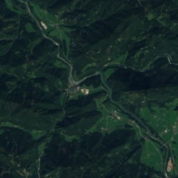
Schleierfall, Upper Austria from above
Nature nearbyAll of Austria
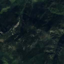
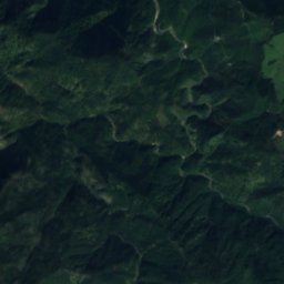
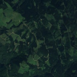
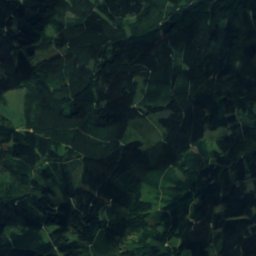
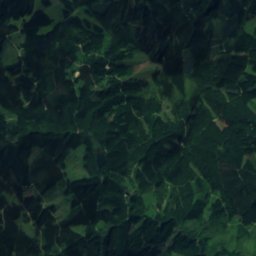
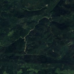
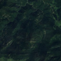
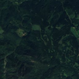
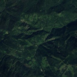
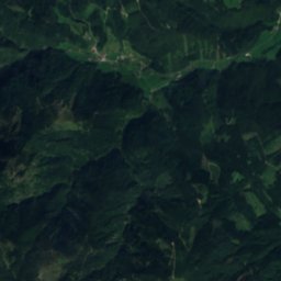
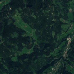
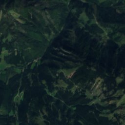
Satellite: Sentinel-2 cloudless 2016 by EOX IT Services GmbH · CC BY 4.0 · Contains modified Copernicus Sentinel data 2016
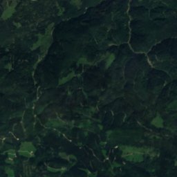
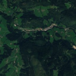
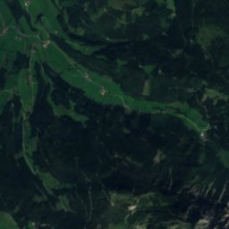
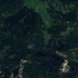
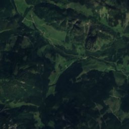
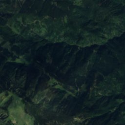
Satellite: Sentinel-2 cloudless 2016 by EOX IT Services GmbH · CC BY 4.0 · Contains modified Copernicus Sentinel data 2016

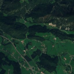
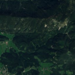
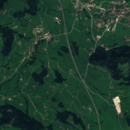
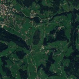
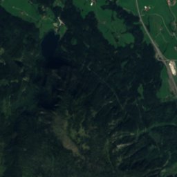
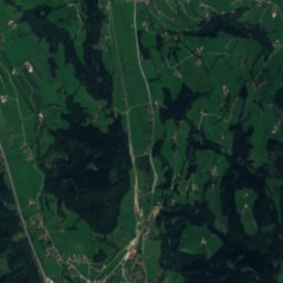
Satellite: Sentinel-2 cloudless 2016 by EOX IT Services GmbH · CC BY 4.0 · Contains modified Copernicus Sentinel data 2016

Satellite: Sentinel-2 cloudless 2016 by EOX IT Services GmbH · CC BY 4.0 · Contains modified Copernicus Sentinel data 2016
Summits nearbyMountains of Austria

Photo: Isiwal/Wikimedia Commons/CC BY-SA 4.0 · CC BY-SA 4.0 · Wikimedia CommonsReport this photo · linked, not stored

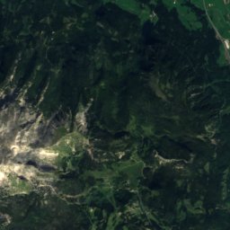
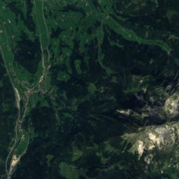
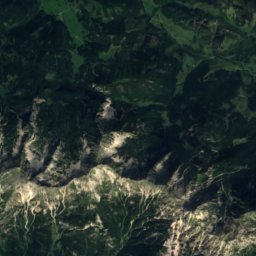
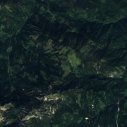
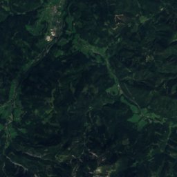
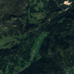
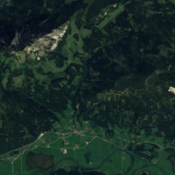
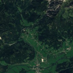
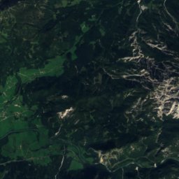
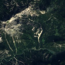
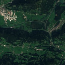
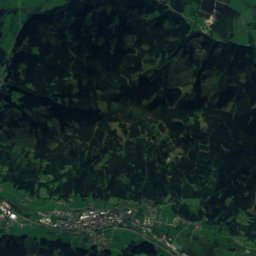
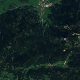
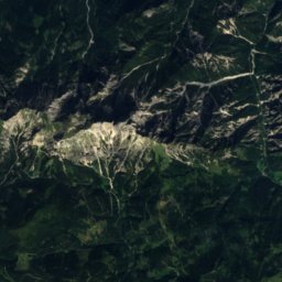
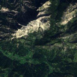
Satellite: Sentinel-2 cloudless 2016 by EOX IT Services GmbH · CC BY 4.0 · Contains modified Copernicus Sentinel data 2016


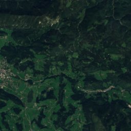
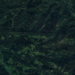
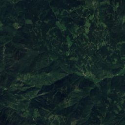
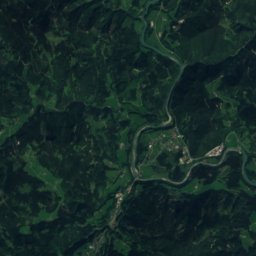
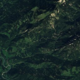
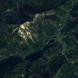
Satellite: Sentinel-2 cloudless 2016 by EOX IT Services GmbH · CC BY 4.0 · Contains modified Copernicus Sentinel data 2016
Stay nearby
Towns close by


Around here
Rosenau am Hengstpaß and around

Rosenau am Hengstpaß
Upper Austria · Austria
Jul–Sepbest months
23°July high
700 maltitude
Nature


Photo: Walter Isack (isiwal) · CC BY-SA 3.0 at · Wikimedia CommonsReport this photo · linked, not stored
Pießling
River
Mountains


Heritage
Satellite: Sentinel-2 cloudless 2016 by EOX IT Services GmbH · CC BY 4.0 · Contains modified Copernicus Sentinel data 2016
Filialkirche Rosenau
Listed objects in Austria
Satellite: Sentinel-2 cloudless 2016 by EOX IT Services GmbH · CC BY 4.0 · Contains modified Copernicus Sentinel data 2016
Kalkalpen National Park
Ramsar site · 1997


