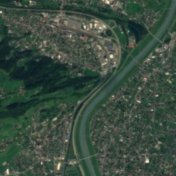
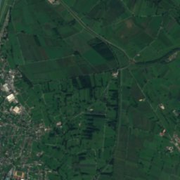
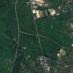
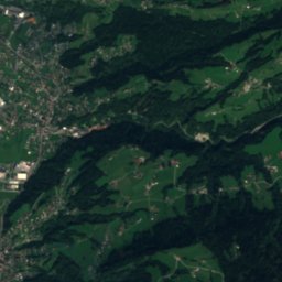
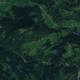
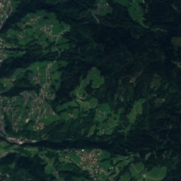
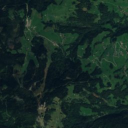
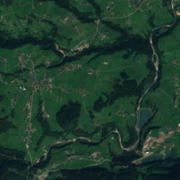
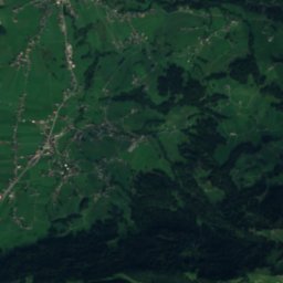
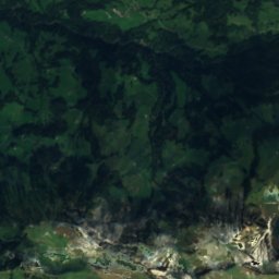
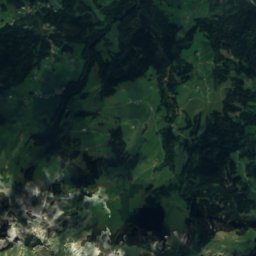
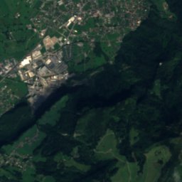
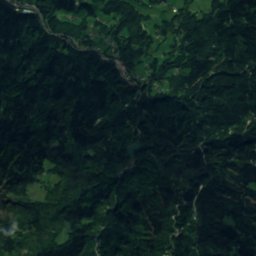
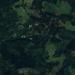
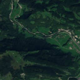
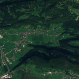
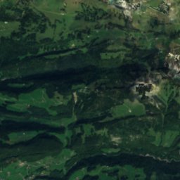
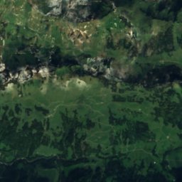
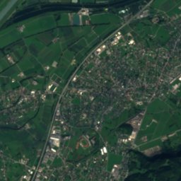
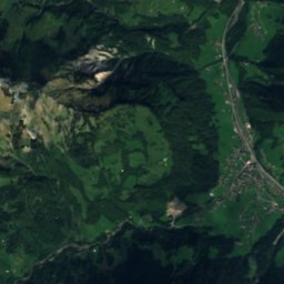
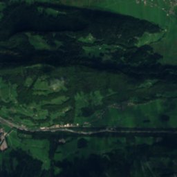
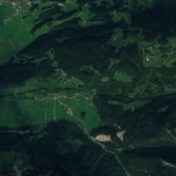
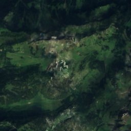
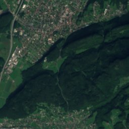
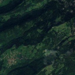
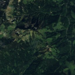
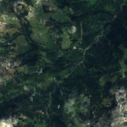
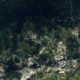
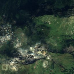
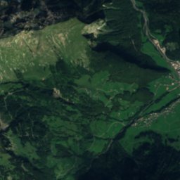
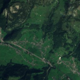
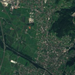
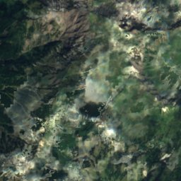
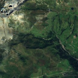
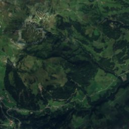
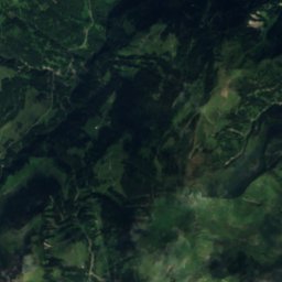
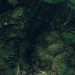
Satellite: Sentinel-2 cloudless 2016 by EOX IT Services GmbH · CC BY 4.0 · Contains modified Copernicus Sentinel data 2016

Photo: Herbert Heim · CC BY-SA 4.0 · Wikimedia Commons
Klauser WasserfallReport this photo · linked, not stored
Klauser WasserfallKlauser WasserfallReport this photo · linked, not stored

Photo: Herbert Heim · CC BY-SA 4.0 · Wikimedia Commons
Firsthütte (Dornbirn)Report this photo · linked, not stored
Firsthütte (Dornbirn)Firsthütte (Dornbirn)Report this photo · linked, not stored

Photo: Asurnipal · CC BY-SA 4.0 · Wikimedia Commons
Bregenzer HütteReport this photo · linked, not stored
Bregenzer HütteBregenzer HütteReport this photo · linked, not stored

Photo: Bernhard Mäser · CC BY-SA 3.0 · Wikimedia Commons
Rote WandReport this photo · linked, not stored
Rote WandRote WandReport this photo · linked, not stored
CaveMellau, Vorarlberg
Rumpelloch
Cave944 m elevationBest Jun–Aug
Elevation944 mabove sea level
Inside7°Call year
Nearest townMellau1.2 km
47.35° N, 9.87° EElevation 944 mUTC+2 · Central European Summer Time
When to goMellau · weather score
Best timeJun–Aug
October: high / low14° / 5°
Cave
Rumpelloch in brief
Rumpelloch is a cave in Mellau, Vorarlberg, Austria.
It lies at 944 m above sea level.
The nearest town in the atlas is Mellau, 1.2 km to the E, where the weather is best in June, July and August.
Inside, a cave stays close to the average yearly air temperature outside: about 7°C all year.
Weather nearby now
Forecast for Mellau8°
Sunny now
Today
22 Oct
8°
0°
Fri
23 Oct
11°
2°
3 mm
Sat
24 Oct
5°
1°
2 mm
Sun
25 Oct
9°
4°
21 mm
Mon
26 Oct
13°
4°
1 mm
Model run 00:00 UTCRefreshed several times a day
When to go
Climate of MellauThe best months around Rumpelloch
Month score in Mellau
Comfort, dry days and sunshine · out of 10022
Jan
24
Feb
20
Mar
42
Apr
63
May
64
Jun
66
Jul
65
Aug
64
Sep
47
Oct
25
Nov
21
Dec
Map
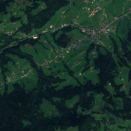
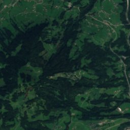
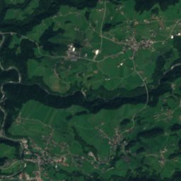
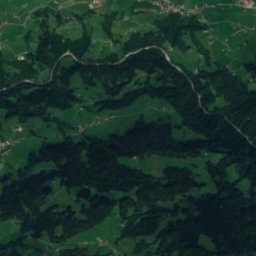
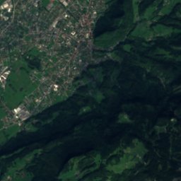
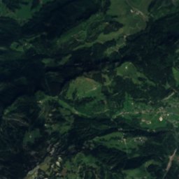
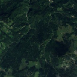
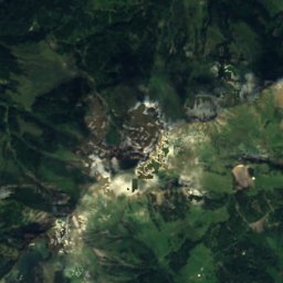
Rumpelloch from above
Nature nearbyAll of Austria

Satellite: Sentinel-2 cloudless 2016 by EOX IT Services GmbH · CC BY 4.0 · Contains modified Copernicus Sentinel data 2016
Satellite: Sentinel-2 cloudless 2016 by EOX IT Services GmbH · CC BY 4.0 · Contains modified Copernicus Sentinel data 2016

Satellite: Sentinel-2 cloudless 2016 by EOX IT Services GmbH · CC BY 4.0 · Contains modified Copernicus Sentinel data 2016

Summits nearbyMountains of Austria


Stay nearby
Towns close by

Photo: Feel free to use my photos, but please mention me as the author and if you want · CC BY-SA 3.0 at · Wikimedia CommonsReport this photo · linked, not stored
Mellau
Vorarlberg · 1.2 km E
14°Oct high
13wet days
47score


Photo: --BöhringerFriedrich · CC BY-SA 2.5 · Wikimedia CommonsReport this photo · linked, not stored
Bizau
Vorarlberg · 5.3 km NE
14°Oct high
13wet days
46score
Around here
Mellau and around
Photo: Feel free to use my photos, but please mention me as the author and if you want · CC BY-SA 3.0 at · Wikimedia CommonsReport this photo · linked, not stored
Mellau
Vorarlberg · Austria
Jun–Augbest months
24°July high
689 maltitude
Nature

Photo: User:Plani / de:Benutzer:Plani · Public domain · Wikimedia CommonsReport this photo · linked, not stored
Dornbirner Ach
River


Mountains


Heritage

Pfarrkirche Hl. Jakobus d. Ä. (Reuthe)
Listed objects in Austria

Photo: Feel free to use my photos, but please mention me as the author and if you want · CC BY-SA 3.0 at · Wikimedia CommonsReport this photo · linked, not stored
Pfarrkirche hl. Antonius Eremit
Listed objects in Austria


