Skip to content
Destinations
Weather & climate
Nature
Outdoors
Culture
Events
Sky & live
Rellsbach
Photo: Asurnipal · CC BY-SA 4.0 · Wikimedia Commons
RellsbachReport this photo · linked, not stored
Staubecken Latschau
Photo: --Böhringer · CC BY-SA 2.5 · Wikimedia Commons
Staubecken LatschauReport this photo · linked, not stored
Staubecken Latschau
Reservoir Radin
Photo: 32-Fuß-Freak · CC BY-SA 4.0 · Wikimedia Commons
Reservoir RadinReport this photo · linked, not stored
Reservoir Radin
Sarotlahütte
Photo: Feel free to use my photos, but please mention me as the author and if you want · CC BY-SA 3.0 at · Wikimedia Commons
SarotlahütteReport this photo · linked, not stored
Sarotlahütte
Almanlage Küngsmaisäß
Photo: böhringer friedrich · CC BY-SA 2.5 · Wikimedia Commons
Almanlage KüngsmaisäßReport this photo · linked, not stored
Almanlage Küngsmaisäß
RiverVandans, Vorarlberg

Rellsbach

RiverBest May · Jul–Aug
Elevation–above sea level
Length6.5 kmsource to mouth
Nearest townVandans0.6 km
47.09° N, 9.87° EUTC+2 · Central European Summer Time
When to goVandans · weather score
JanFebMarAprMayJunJulAugSepOctNovDec53October
Best timeMay · Jul–Aug
October: high / low15° / 6°
River

Rellsbach in brief

Rellsbach is a river in Vandans, Vorarlberg, Austria.

The nearest town in the atlas is Vandans, 0.6 km to the W, where the weather is best in May, July and August.

Rellsbach is 6.5 km long.

Vandans: weather and travel guide

Weather nearby now

Forecast for Vandans
9°
Cloudy now
Wind2 km/h
Humidity47%
Cloud cover67%
Today
22 Oct
9°
0°
Fri
23 Oct
12°
1°
4 mm
Sat
24 Oct
6°
0°
4 mm
Sun
25 Oct
10°
4°
17 mm
Mon
26 Oct
14°
0°

Model run 00:00 UTCRefreshed several times a day

When to go

The best months around Rellsbach

Climate of Vandans

Month score in Vandans

Comfort, dry days and sunshine · out of 100
22
Jan
24
Feb
23
Mar
47
Apr
63
May
63
Jun
65
Jul
64
Aug
63
Sep
53
Oct
25
Nov
21
Dec
Map

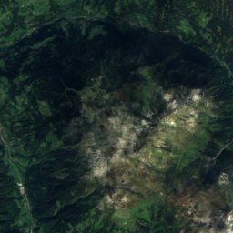
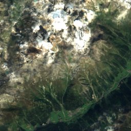
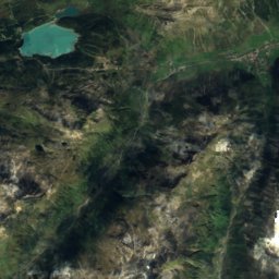
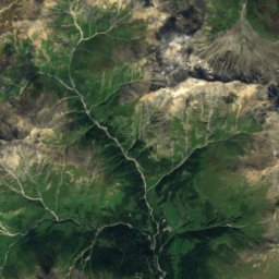
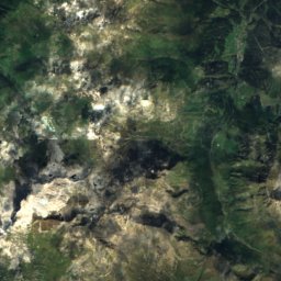
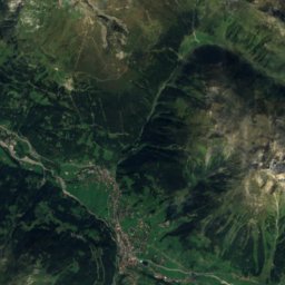
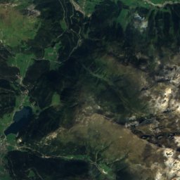
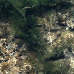
Rellsbach from above

Nature nearbyAll of Austria
Photo: --Böhringer · CC BY-SA 2.5 · Wikimedia CommonsReport this photo · linked, not stored
Staubecken LatschauLake1.9 kmSStaubecken Latschau
Photo: 32-Fuß-Freak · CC BY-SA 4.0 · Wikimedia CommonsReport this photo · linked, not stored
Reservoir RadinLake5.5 kmNReservoir Radin
Photo: Feel free to use my photos, but please mention me as the author and if you want · CC BY-SA 3.0 at · Wikimedia CommonsReport this photo · linked, not stored
SarotlahütteMountain hut6.6 kmWSarotlahütte
Photo: böhringer friedrich · CC BY-SA 2.5 · Wikimedia CommonsReport this photo · linked, not stored
Almanlage KüngsmaisäßMountain hut7.0 kmNEAlmanlage Küngsmaisäß
Satellite: Sentinel-2 cloudless 2016 by EOX IT Services GmbH · CC BY 4.0 · Contains modified Copernicus Sentinel data 2016
Heinrich-Hueter-HütteMountain hut7.1 kmWHeinrich-Hueter-Hütte
Photo: böhringer friedrich · CC BY-SA 2.5 · Wikimedia CommonsReport this photo · linked, not stored
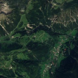
TilisunaseeLake7.5 kmSTilisunasee
Summits nearbyMountains of Austria
Photo: User: Bbb at wikivoyage shared · CC BY-SA 1.0 · Wikimedia CommonsReport this photo · linked, not stored
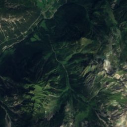
Patteriol24 km E3,056 mJuly 10°Patteriol
Photo: Jörg Braukmann · CC BY-SA 4.0 · Wikimedia CommonsReport this photo · linked, not stored
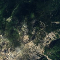
Schesaplana13 km W2,965 mJuly 8°Schesaplana
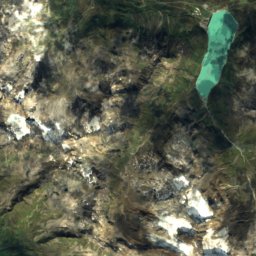
Satellite: Sentinel-2 cloudless 2016 by EOX IT Services GmbH · CC BY 4.0 · Contains modified Copernicus Sentinel data 2016
Vollandspitze25 km E2,928 mJuly 9°Vollandspitze
Photo: 32-Fuß-Freak · CC BY-SA 4.0 · Wikimedia CommonsReport this photo · linked, not stored
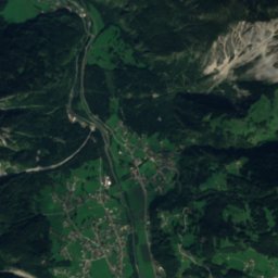
Pflunspitzen20 km E2,912 mJuly 10°Pflunspitzen
Photo: Engie · CC BY-SA 3.0 · Wikimedia CommonsReport this photo · linked, not stored
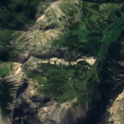
Kaltenberg, Vorarlberg20 km E2,896 mJuly 9°Kaltenberg, Vorarlberg
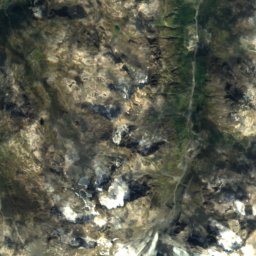
Satellite: Sentinel-2 cloudless 2016 by EOX IT Services GmbH · CC BY 4.0 · Contains modified Copernicus Sentinel data 2016
Schrottenkopf24 km SE2,890 mJuly 10°Schrottenkopf
Stay nearby

Towns close by

Vandans
Photo: böhringer friedrich · CC BY-SA 2.5 · Wikimedia CommonsReport this photo · linked, not stored
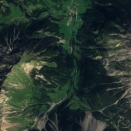
Vandans

Vorarlberg · 0.6 km W
15°Oct high
13wet days
53score
Vandans
Sankt Anton im Montafon
Photo: böhringer friedrich · CC BY-SA 2.5 · Wikimedia CommonsReport this photo · linked, not stored
Sankt Anton im Montafon

Vorarlberg · 2.6 km N
14°Oct high
13wet days
47score
Sankt Anton im Montafon
Bartholomäberg
Photo: böhringer friedrich · CC BY-SA 2.5 · Wikimedia CommonsReport this photo · linked, not stored
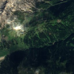
Bartholomäberg

Vorarlberg · 2.7 km E
13°Oct high
13wet days
41score
Bartholomäberg
Tschagguns
Photo: böhringer friedrich · CC BY-SA 2.5 · Wikimedia CommonsReport this photo · linked, not stored
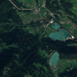
Tschagguns

Vorarlberg · 3.2 km SE
15°Oct high
13wet days
51score
Tschagguns
Around here

Vandans and around

Vandans
Photo: böhringer friedrich · CC BY-SA 2.5 · Wikimedia CommonsReport this photo · linked, not stored
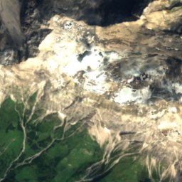
Vandans

Vorarlberg · Austria
May · Jul–Augbest months
25°July high
644 maltitude
Vandans

Nature

Lünersee
Photo: böhringer friedrich · CC BY-SA 2.5 · Wikimedia CommonsReport this photo · linked, not stored
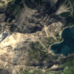
10 km SW

Lünersee

Lake · 1,970 m
Lünersee
Tilisunasee
Photo: böhringer friedrich · CC BY-SA 2.5 · Wikimedia CommonsReport this photo · linked, not stored
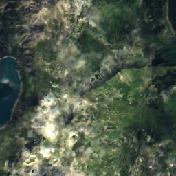
7.8 km S

Tilisunasee

Lake · 2,103 m
Tilisunasee
Wormser Hütte
Photo: böhringer friedrich · CC BY-SA 2.5 · Wikimedia CommonsReport this photo · linked, not stored
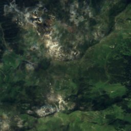
9.0 km SE

Wormser Hütte

Mountain hut · 2,305 m
Wormser Hütte

Mountains

Piz Linard
Photo: DrTW · CC BY-SA 3.0 · Wikimedia CommonsReport this photo · linked, not stored
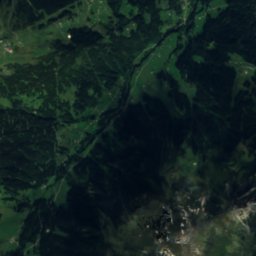
37 km SE

Piz Linard

3,411 m · Silvretta Alps
Piz Linard
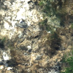
Satellite: Sentinel-2 cloudless 2016 by EOX IT Services GmbH · CC BY 4.0 · Contains modified Copernicus Sentinel data 2016
36 km SE

Fluchthorn

3,397 m · Silvretta Alps
Fluchthorn
Satellite: Sentinel-2 cloudless 2016 by EOX IT Services GmbH · CC BY 4.0 · Contains modified Copernicus Sentinel data 2016
34 km SE

Piz Buin

3,312 m · Silvretta Alps
Piz Buin

Heritage

Lünerseewerk
Photo: böhringer friedrich · CC BY-SA 2.5 · Wikimedia CommonsReport this photo · linked, not stored
2.5 km S

Lünerseewerk

Listed objects in Austria · 1954
Lünerseewerk
Alte Pfarrkirche Johannes der Täufer
Photo: böhringer friedrich · CC BY-SA 2.5 · Wikimedia CommonsReport this photo · linked, not stored
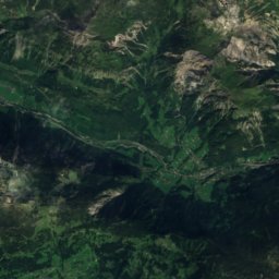
under 100 m SW

Alte Pfarrkirche Johannes der Täufer

Listed objects in Austria
Alte Pfarrkirche Johannes der Täufer
Neue Pfarrkirche Johannes der Täufer
Photo: SchiDD · CC BY-SA 4.0 · Wikimedia CommonsReport this photo · linked, not stored
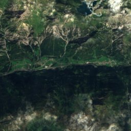
0.1 km S

Neue Pfarrkirche Johannes der Täufer

Listed objects in Austria
Neue Pfarrkirche Johannes der Täufer

Museums

Heimatmuseum Schruns
Photo: böhringer friedrich · CC BY-SA 2.5 · Wikimedia CommonsReport this photo · linked, not stored
4.4 km SE

Heimatmuseum Schruns

Heimatmuseum Schruns
Montafoner Bergbaumuseum Silbertal
Photo: böhringer friedrich · CC BY-SA 3.0 at · Wikimedia CommonsReport this photo · linked, not stored
8.6 km E

Montafoner Bergbaumuseum Silbertal

Montafoner Bergbaumuseum Silbertal
Klostertal-Museum
Photo: Anton-kurt (talk) · CC BY-SA 3.0 at · Wikimedia CommonsReport this photo · linked, not stored
13 km E

Klostertal-Museum

Local museum
Klostertal-Museum