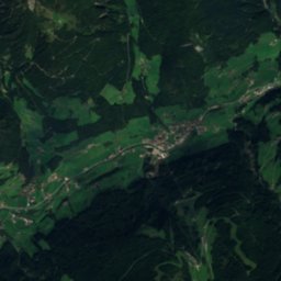
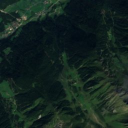
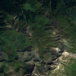
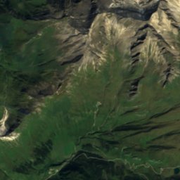
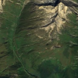
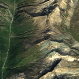
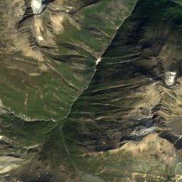
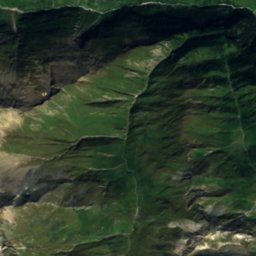
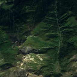
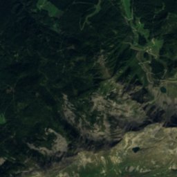
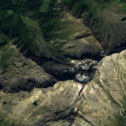
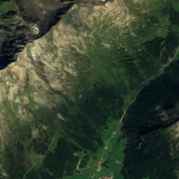
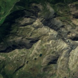
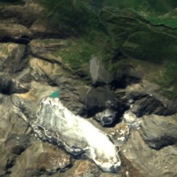
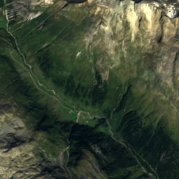
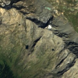
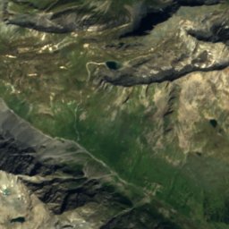
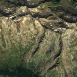
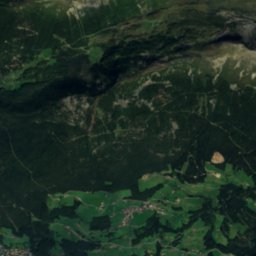
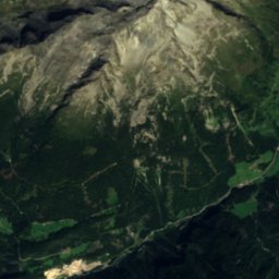
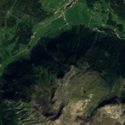
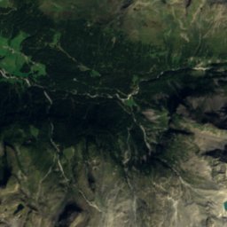
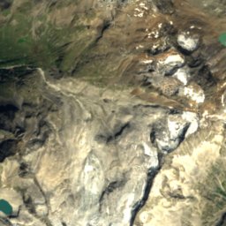
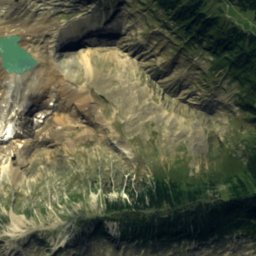
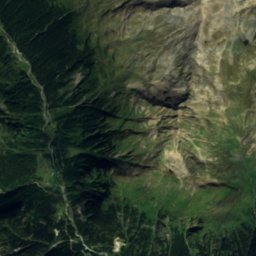
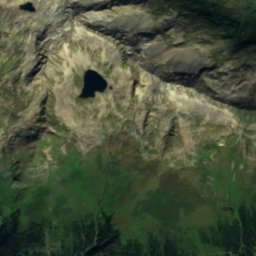
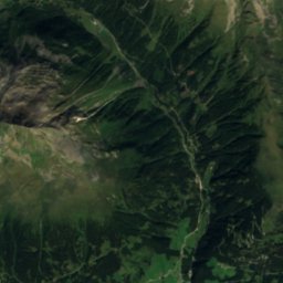
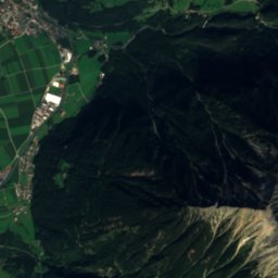
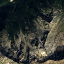
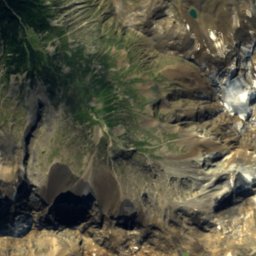
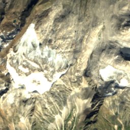
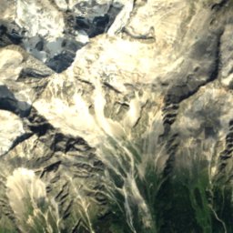
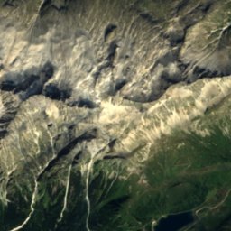
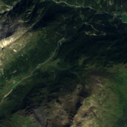
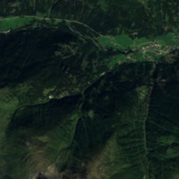
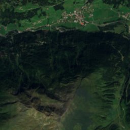
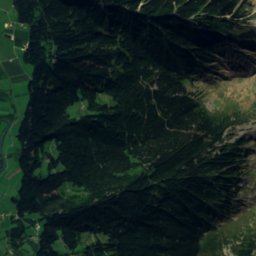
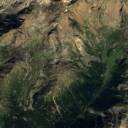
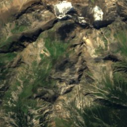
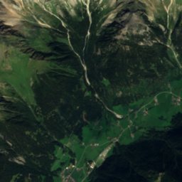
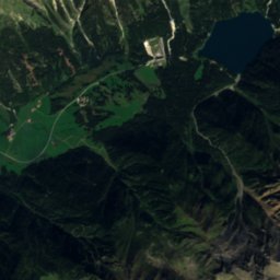
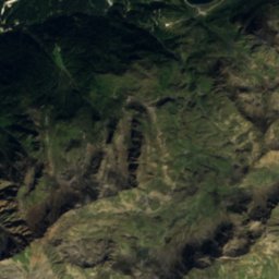
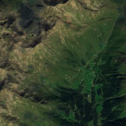
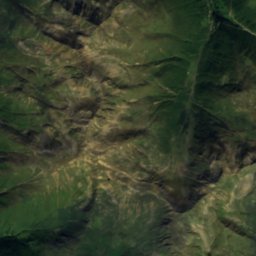
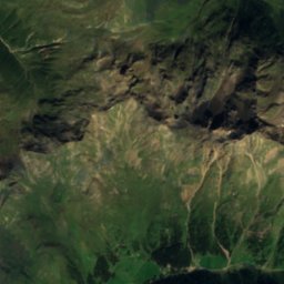
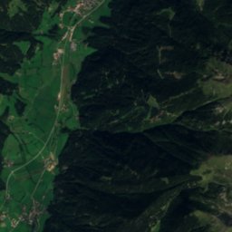
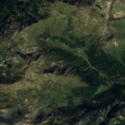
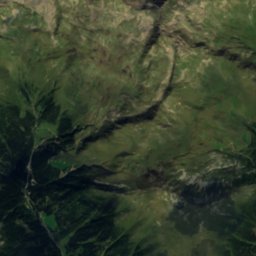
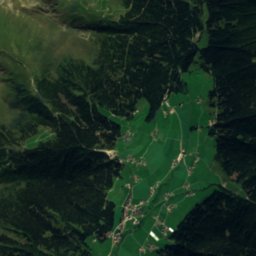
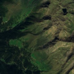
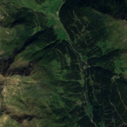
Satellite: Sentinel-2 cloudless 2016 by EOX IT Services GmbH · CC BY 4.0 · Contains modified Copernicus Sentinel data 2016

Photo: I, Michael Kranewitter · CC BY 2.5 · Wikimedia Commons
Barmer HütteReport this photo · linked, not stored
Barmer HütteBarmer HütteReport this photo · linked, not stored

Photo: Michael Kranewitter · CC BY-SA 3.0 at · Wikimedia Commons
Sankt-Josef-SeeReport this photo · linked, not stored
Sankt-Josef-SeeSankt-Josef-SeeReport this photo · linked, not stored

Photo: Corrado de Luca (user Corrado86) · CC BY-SA 2.5 it · Wikimedia Commons
Antholzer SeeReport this photo · linked, not stored
Antholzer SeeAntholzer SeeReport this photo · linked, not stored

Photo: Schlesinger · CC BY-SA 4.0 · Wikimedia Commons
DreiherrnspitzeReport this photo · linked, not stored
DreiherrnspitzeDreiherrnspitzeReport this photo · linked, not stored
GlacierSankt Jakob in Defereggen, Tyrol
Rampleterkees
GlacierBest Jun–Aug
Elevation–above sea level
Area–surface
Nearest townAntholz-Mittertal7.7 km
46.92° N, 12.15° EUTC+2 · Central European Summer Time
When to goSankt Jakob in Defereggen · weather score
Best timeJun–Aug
October: high / low11° / 1°
Glacier
Rampleterkees in brief
Rampleterkees is a glacier in Sankt Jakob in Defereggen, Tyrol, Austria.
The nearest town in the atlas is Antholz-Mittertal, 7.7 km to the SW, where the weather is best in June, July and August.
Weather nearby now
Forecast for Antholz-Mittertal9°
Sunny now
Today
22 Oct
10°
-1°
2 mm
Fri
23 Oct
10°
-1°
3 mm
Sat
24 Oct
7°
-3°
5 mm
Sun
25 Oct
6°
-2°
Mon
26 Oct
13°
1°
Model run 00:00 UTCRefreshed several times a day
When to go
Climate of Antholz-MittertalThe best months around Rampleterkees
Month score in Antholz-Mittertal
Comfort, dry days and sunshine · out of 10023
Jan
24
Feb
20
Mar
31
Apr
53
May
62
Jun
64
Jul
62
Aug
60
Sep
32
Oct
20
Nov
22
Dec
Map
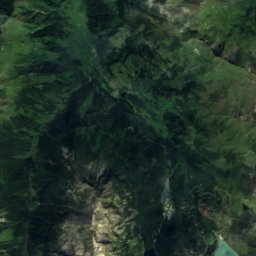
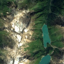
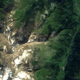
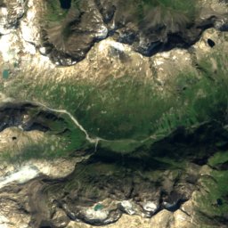
Rampleterkees from above
Nature nearbyAll of Austria
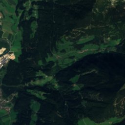
Satellite: Sentinel-2 cloudless 2016 by EOX IT Services GmbH · CC BY 4.0 · Contains modified Copernicus Sentinel data 2016

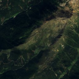
Satellite: Sentinel-2 cloudless 2016 by EOX IT Services GmbH · CC BY 4.0 · Contains modified Copernicus Sentinel data 2016
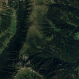
Satellite: Sentinel-2 cloudless 2016 by EOX IT Services GmbH · CC BY 4.0 · Contains modified Copernicus Sentinel data 2016

Photo: Michael Kranewitter · CC BY-SA 3.0 at · Wikimedia CommonsReport this photo · linked, not stored

Photo: Corrado de Luca (user Corrado86) · CC BY-SA 2.5 it · Wikimedia CommonsReport this photo · linked, not stored
Summits nearbyMountains of Austria


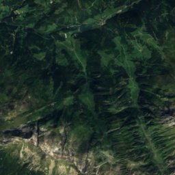
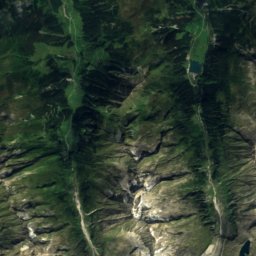
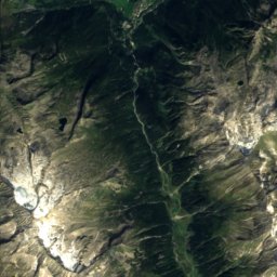
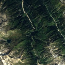
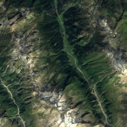
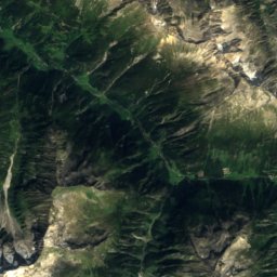
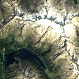
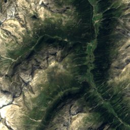
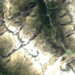
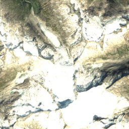
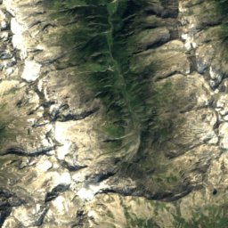
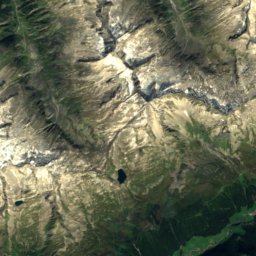
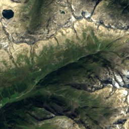
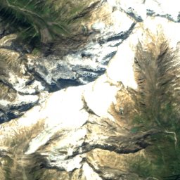
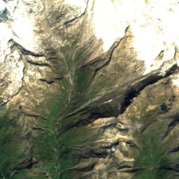
Satellite: Sentinel-2 cloudless 2016 by EOX IT Services GmbH · CC BY 4.0 · Contains modified Copernicus Sentinel data 2016

Photo: Michael Kranewitter · CC BY-SA 3.0 at · Wikimedia CommonsReport this photo · linked, not stored


Photo: Michael Kranewitter · CC BY-SA 3.0 at · Wikimedia CommonsReport this photo · linked, not stored
Stay nearby
Towns close by


Around here
Sankt Jakob in Defereggen and around

Sankt Jakob in Defereggen
Tyrol · Austria
Jun–Augbest months
21°July high
1,482 maltitude
Nature

Photo: Michael Kranewitter · CC BY-SA 3.0 at · Wikimedia CommonsReport this photo · linked, not stored
Oberseitsee
Lake · 2,576 m

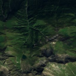
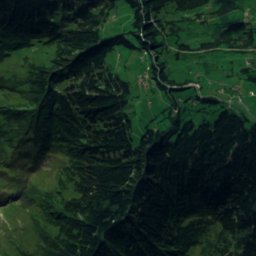
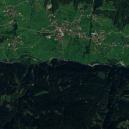
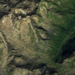
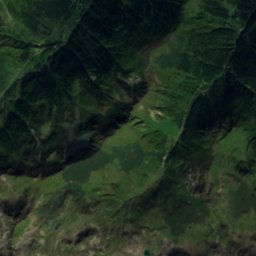
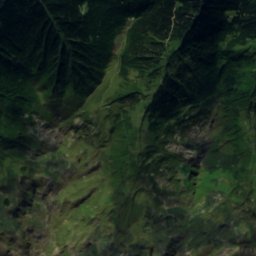
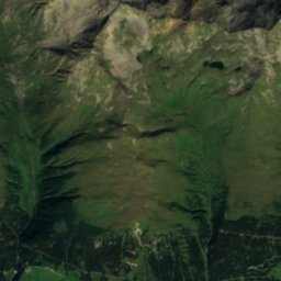
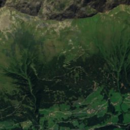
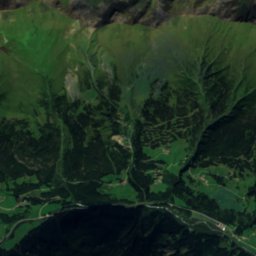
Satellite: Sentinel-2 cloudless 2016 by EOX IT Services GmbH · CC BY 4.0 · Contains modified Copernicus Sentinel data 2016
Gritzer See
Lake · 2,504 m
Mountains


Photo: Eintragung ins Nichts · CC BY-SA 3.0 · Wikimedia CommonsReport this photo · linked, not stored
Kleinglockner
3,770 m · Glockner Group
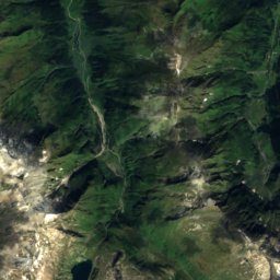
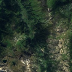
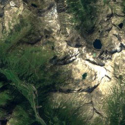
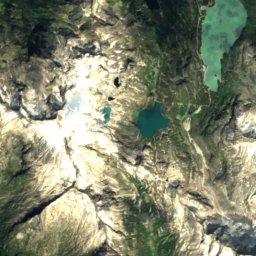
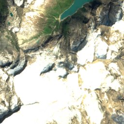
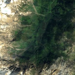
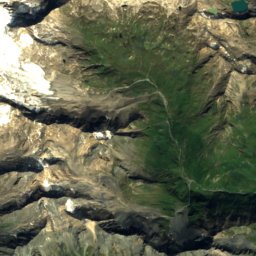
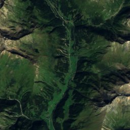
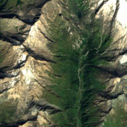
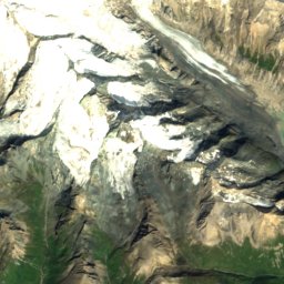
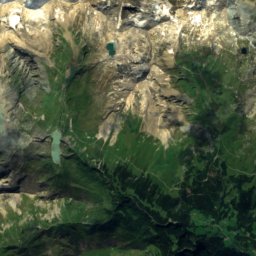
Satellite: Sentinel-2 cloudless 2016 by EOX IT Services GmbH · CC BY 4.0 · Contains modified Copernicus Sentinel data 2016
Pöschlturm
3,722 m
Heritage

Satellite: Sentinel-2 cloudless 2016 by EOX IT Services GmbH · CC BY 4.0 · Contains modified Copernicus Sentinel data 2016
Bauernhof Hirbe
Listed objects in Austria

Photo: I, Michael Kranewitter · CC BY 3.0 at · Wikimedia CommonsReport this photo · linked, not stored
Pfarrkirche St. Jakob in Defereggen
Listed objects in Austria

Museums
Satellite: Sentinel-2 cloudless 2016 by EOX IT Services GmbH · CC BY 4.0 · Contains modified Copernicus Sentinel data 2016
Talschaftsmuseum Defereggen
Satellite: Sentinel-2 cloudless 2016 by EOX IT Services GmbH · CC BY 4.0 · Contains modified Copernicus Sentinel data 2016
Freilichtmuseum Wegelate Säge
Open-air museum


Satellite: Sentinel-2 cloudless 2016 by EOX IT Services GmbH · CC BY 4.0 · Contains modified Copernicus Sentinel data 2016
Heimatmuseum Oberbichl
Local museum