Skip to content
Destinations
Weather & climate
Nature
Outdoors
Culture
Events
Sky & live
Pernerinsel
Photo: Ailura · CC BY-SA 3.0 at · Wikimedia Commons
PernerinselReport this photo · linked, not stored
Berchtesgadener Ache
Photo: The original uploader was Gpasak at German Wikipedia. (Original text: gpasak) · CC BY-SA 3.0 · Wikimedia Commons
Berchtesgadener AcheReport this photo · linked, not stored
Berchtesgadener Ache
Klausbach
Photo: Viva La Ren · CC BY-SA 3.0 · Wikimedia Commons
KlausbachReport this photo · linked, not stored
Klausbach
Toni-Lenz-Hütte
Photo: Rainer Lippert · CC BY-SA 4.0 · Wikimedia Commons
Toni-Lenz-HütteReport this photo · linked, not stored
Toni-Lenz-Hütte
Schellenberger Eishöhle
Photo: Snsurver · CC BY-SA 4.0 · Wikimedia Commons
Schellenberger EishöhleReport this photo · linked, not stored
Schellenberger Eishöhle
IslandHallein, Salzburg

Pernerinsel

IslandBest May–Jun · Aug
Elevation–above sea level
Area0.1 km²surface
Nearest townHallein0.5 km
47.68° N, 13.09° EUTC+2 · Central European Summer Time
When to goHallein · weather score
JanFebMarAprMayJunJulAugSepOctNovDec51October
Best timeMay–Jun · Aug
October: high / low15° / 6°
Island

Pernerinsel in brief

Pernerinsel is an island in Hallein, Salzburg, Austria.

It covers about 0.1 km².

The nearest town in the atlas is Hallein, 0.5 km to the E, where the weather is best in May, June and August.

Hallein: weather and travel guide

Weather nearby now

Forecast for Hallein
12°
Sunny now
Wind4 km/h
Humidity59%
Cloud cover0%
Today
22 Oct
13°
5°
3 mm
Fri
23 Oct
17°
2°
4 mm
Sat
24 Oct
10°
2°
8 mm
Sun
25 Oct
13°
1°
10 mm
Mon
26 Oct
12°
8°
1 mm

Model run 00:00 UTCRefreshed several times a day

The island from above

0.1 km² · coastline as mapped in OpenStreetMap
100 m
When to go

The best months around Pernerinsel

Climate of Hallein

Month score in Hallein

Comfort, dry days and sunshine · out of 100
Map

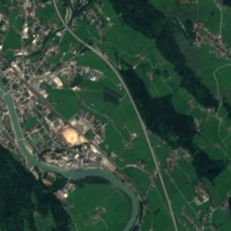
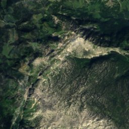
Pernerinsel from above

Nature nearbyAll of Austria
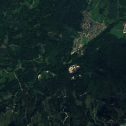
Satellite: Sentinel-2 cloudless 2016 by EOX IT Services GmbH · CC BY 4.0 · Contains modified Copernicus Sentinel data 2016
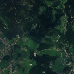
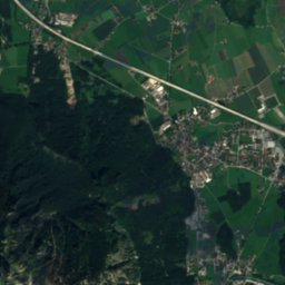
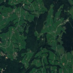
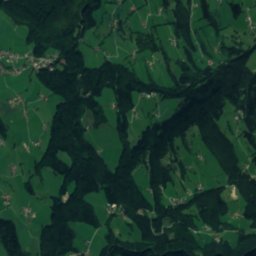
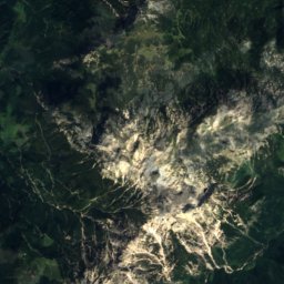
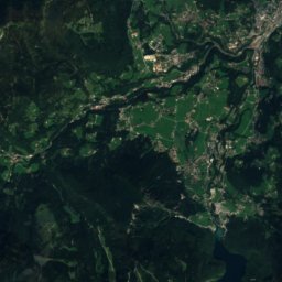
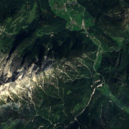
AlmbachRiver0.2 kmNEAlmbach
Satellite: Sentinel-2 cloudless 2016 by EOX IT Services GmbH · CC BY 4.0 · Contains modified Copernicus Sentinel data 2016
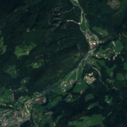
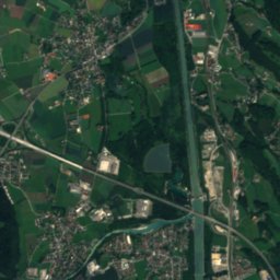
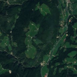
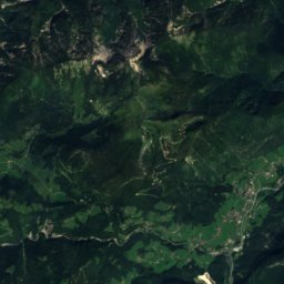
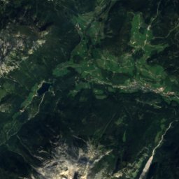
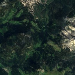
Kuhloch SE von ZillwirthCave1.6 kmSWKuhloch SE von Zillwirth
Photo: The original uploader was Gpasak at German Wikipedia. (Original text: gpasak) · CC BY-SA 3.0 · Wikimedia CommonsReport this photo · linked, not stored
Berchtesgadener AcheRiver5.3 kmNBerchtesgadener Ache
Photo: Viva La Ren · CC BY-SA 3.0 · Wikimedia CommonsReport this photo · linked, not stored
KlausbachRiver7.0 kmNEKlausbach
Photo: Rainer Lippert · CC BY-SA 4.0 · Wikimedia CommonsReport this photo · linked, not stored
Toni-Lenz-HütteMountain hut7.2 kmNWToni-Lenz-Hütte
Photo: Snsurver · CC BY-SA 4.0 · Wikimedia CommonsReport this photo · linked, not stored
Schellenberger EishöhleCave7.4 kmNWSchellenberger Eishöhle
Summits nearbyMountains of Austria
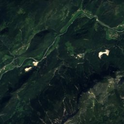
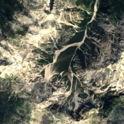
Satellite: Sentinel-2 cloudless 2016 by EOX IT Services GmbH · CC BY 4.0 · Contains modified Copernicus Sentinel data 2016
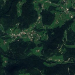
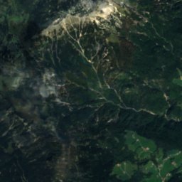
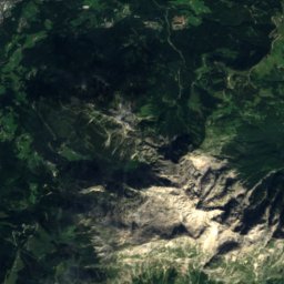
Watzmann Mittelspitze19 km SW2,713 mJuly 11°Watzmann Mittelspitze
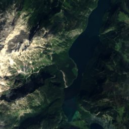
Satellite: Sentinel-2 cloudless 2016 by EOX IT Services GmbH · CC BY 4.0 · Contains modified Copernicus Sentinel data 2016
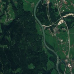
Watzmann-Südspitze20 km SW2,712 mJuly 14°Watzmann-Südspitze
Satellite: Sentinel-2 cloudless 2016 by EOX IT Services GmbH · CC BY 4.0 · Contains modified Copernicus Sentinel data 2016
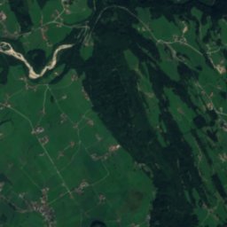
Watzmann Hocheck19 km SW2,651 mJuly 11°Watzmann Hocheck
Photo: Jörg Braukmann · CC BY-SA 3.0 · Wikimedia CommonsReport this photo · linked, not stored
Hochkalter21 km SW2,607 mJuly 11°Hochkalter
Photo: Jörg Braukmann · CC BY-SA 4.0 · Wikimedia CommonsReport this photo · linked, not stored
Großer Hundstod25 km SW2,594 mJuly 11°Großer Hundstod
Photo: Jörg Braukmann Milseburg · CC BY-SA 3.0 · Wikimedia CommonsReport this photo · linked, not stored
Funtenseetauern24 km S2,578 mJuly 11°Funtenseetauern
Stay nearby

Towns close by

Hallein
Photo: Unknown author · Public domain · Wikimedia CommonsReport this photo · linked, not stored

Hallein

Salzburg · 0.5 km E
15°Oct high
13wet days
51score
Hallein
Neualm
Photo: Luckyprof · CC BY-SA 3.0 at · Wikimedia CommonsReport this photo · linked, not stored

Neualm

Salzburg · 1.1 km NW
15°Oct high
13wet days
51score
Neualm
Burgfried
Photo: Austriantraveler · CC BY-SA 3.0 at · Wikimedia CommonsReport this photo · linked, not stored

Burgfried

Salzburg · 1.5 km E
15°Oct high
13wet days
51score
Burgfried
Oberalm
Photo: Niki.L · CC BY-SA 4.0 · Wikimedia CommonsReport this photo · linked, not stored

Oberalm

Salzburg · 1.8 km N
15°Oct high
13wet days
49score
Oberalm
Around here

Hallein and around

Hallein
Photo: Unknown author · Public domain · Wikimedia CommonsReport this photo · linked, not stored

Hallein

Salzburg · Austria
May–Jun · Augbest months
25°July high
447 maltitude
Hallein

Nature

Berchtesgadener Ache
Photo: The original uploader was Gpasak at German Wikipedia. (Original text: gpasak) · CC BY-SA 3.0 · Wikimedia CommonsReport this photo · linked, not stored
5.5 km N

Berchtesgadener Ache

River
Berchtesgadener Ache
Ramsauer Ache
Photo: Nikater · CC BY-SA 3.0 · Wikimedia CommonsReport this photo · linked, not stored
9.8 km SW

Ramsauer Ache

River
Ramsauer Ache
Riesending cave
Photo: Bayerisches Rotes Kreuz, Kreisverband Berchtesgadener Land · Attribution · Wikimedia CommonsReport this photo · linked, not stored
8.9 km W

Riesending cave

Cave · 1,843 m
Riesending cave

Mountains

Hochkönig
Photo: StVeit Maps · CC BY-SA 4.0 · Wikimedia CommonsReport this photo · linked, not stored
29 km S

Hochkönig

2,941 m · Hochkönig mountain range
Hochkönig
Hohe Köpfe, Salzburg
Photo: Tigerente · CC BY-SA 4.0 · Wikimedia CommonsReport this photo · linked, not stored
29 km S

Hohe Köpfe, Salzburg

2,875 m · Hochkönig mountain range
Hohe Köpfe, Salzburg
Bratschenköpfe
Photo: Thorsten Hartmann · CC BY-SA 3.0 · Wikimedia CommonsReport this photo · linked, not stored
29 km S

Bratschenköpfe

2,857 m · Hochkönig mountain range
Bratschenköpfe

Heritage

Filialkirche St. Margarethen, Bad Vigaun
Photo: Enschiner · CC0 · Wikimedia CommonsReport this photo · linked, not stored
2.4 km E

Filialkirche St. Margarethen, Bad Vigaun

Listed objects in Austria
Filialkirche St. Margarethen, Bad Vigaun
Benediktschlössl
Photo: Luckyprof · CC BY-SA 3.0 at · Wikimedia CommonsReport this photo · linked, not stored
0.7 km SW

Benediktschlössl

Listed objects in Austria
Benediktschlössl
Schloss Wiespach
Photo: Luckyprof · CC BY-SA 3.0 at · Wikimedia CommonsReport this photo · linked, not stored
1.0 km N

Schloss Wiespach

Listed objects in Austria
Schloss Wiespach

Museums

Keltenmuseum Hallein
Photo: Thomas Kees (powerbiker1) · CC BY-SA 3.0 · Wikimedia CommonsReport this photo · linked, not stored
0.5 km W

Keltenmuseum Hallein

1970
Keltenmuseum Hallein
Satellite: Sentinel-2 cloudless 2016 by EOX IT Services GmbH · CC BY 4.0 · Contains modified Copernicus Sentinel data 2016
1.9 km S

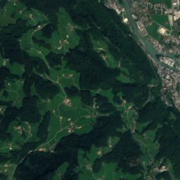
Hallein Salt Mine

Show mine
Hallein Salt Mine
Marmormuseum Adnet
Photo: Hickmann · CC BY-SA 4.0 · Wikimedia CommonsReport this photo · linked, not stored
2.7 km NE

Marmormuseum Adnet

1992
Marmormuseum Adnet