Skip to content
Destinations
Weather & climate
Nature
Outdoors
Culture
Events
Sky & live
Nixenfall
Photo: Thomas Ledl · CC BY-SA 4.0 · Wikimedia Commons
NixenfallReport this photo · linked, not stored
Haleswiessee
Photo: MCX5 · CC BY-SA 4.0 · Wikimedia Commons
HaleswiesseeReport this photo · linked, not stored
Haleswiessee
Äußerer Weißenbach
Photo: mcboernie · CC BY 3.0 · Wikimedia Commons
Äußerer WeißenbachReport this photo · linked, not stored
Äußerer Weißenbach
Schwarzensee, Upper Austria
Photo: Michael Fruehmann magrolino · CC0 · Wikimedia Commons
Schwarzensee, Upper AustriaReport this photo · linked, not stored
Schwarzensee, Upper Austria
Hochleckenhaus
Photo: C.Stadler/Bwag · CC BY-SA 4.0 · Wikimedia Commons
HochleckenhausReport this photo · linked, not stored
Hochleckenhaus
WaterfallSteinbach am Attersee, Upper Austria

Nixenfall

WaterfallBest Jul–Sep
Elevation–above sea level
Height80 mof the falls
Nearest townSteinbach am Attersee5.3 km
47.78° N, 13.56° EUTC+2 · Central European Summer Time
When to goSteinbach am Attersee · weather score
JanFebMarAprMayJunJulAugSepOctNovDec46October
Best timeJul–Sep
October: high / low15° / 6°
Waterfall

Nixenfall in brief

Nixenfall is a waterfall in Steinbach am Attersee, Upper Austria, Austria.

It drops 80 m.

The nearest town in the atlas is Steinbach am Attersee, 5.3 km to the N, where the weather is best in July, August and September.

Steinbach am Attersee: weather and travel guide

Weather nearby now

Forecast for Steinbach am Attersee
11°
Sunny now
Wind6 km/h
Humidity56%
Cloud cover2%
Today
22 Oct
11°
5°
7 mm
Fri
23 Oct
16°
3°
2 mm
Sat
24 Oct
8°
2°
9 mm
Sun
25 Oct
12°
2°
8 mm
Mon
26 Oct
13°
8°
1 mm

Model run 00:00 UTCRefreshed several times a day

When to go

The best months around Nixenfall

Climate of Steinbach am Attersee

Month score in Steinbach am Attersee

Comfort, dry days and sunshine · out of 100
20
Jan
23
Feb
19
Mar
55
Apr
64
May
64
Jun
66
Jul
65
Aug
65
Sep
46
Oct
23
Nov
18
Dec
Map

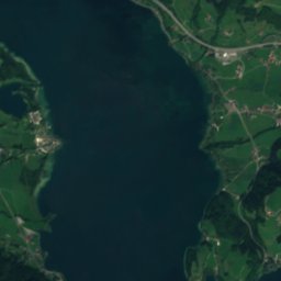
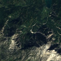
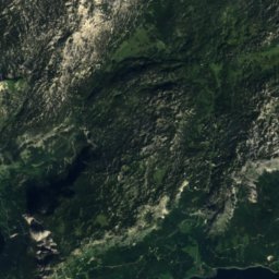
Nixenfall from above

Nature nearbyAll of Austria
Photo: MCX5 · CC BY-SA 4.0 · Wikimedia CommonsReport this photo · linked, not stored
HaleswiesseeLake2.1 kmSWHaleswiessee
Photo: mcboernie · CC BY 3.0 · Wikimedia CommonsReport this photo · linked, not stored
Äußerer WeißenbachRiver2.5 kmNWÄußerer Weißenbach
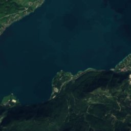
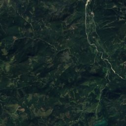
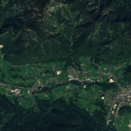
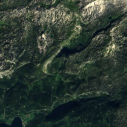
Satellite: Sentinel-2 cloudless 2016 by EOX IT Services GmbH · CC BY 4.0 · Contains modified Copernicus Sentinel data 2016
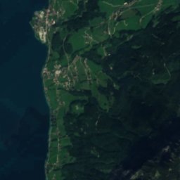
BurggrabenRiver4.6 kmWBurggraben
Photo: Michael Fruehmann magrolino · CC0 · Wikimedia CommonsReport this photo · linked, not stored
Schwarzensee, Upper AustriaLake5.7 kmSWSchwarzensee, Upper Austria
Photo: C.Stadler/Bwag · CC BY-SA 4.0 · Wikimedia CommonsReport this photo · linked, not stored
HochleckenhausMountain hut6.3 kmNEHochleckenhaus
Photo: Wolfgang Kritzinger · CC BY-SA 3.0 at · Wikimedia CommonsReport this photo · linked, not stored
Egelsee, Upper AustriaLake6.6 kmNWEgelsee, Upper Austria
Summits nearbyMountains of Austria
Photo: Dromedar61 · CC BY-SA 3.0 · Wikimedia CommonsReport this photo · linked, not stored
Schönberg, Altaussee19 km SE2,093 mJuly 13°Schönberg, Altaussee
Photo: Herzi Pinki · CC BY-SA 3.0 · Wikimedia CommonsReport this photo · linked, not stored
Gamsfeld19 km S2,027 mJuly 14°Gamsfeld
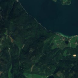
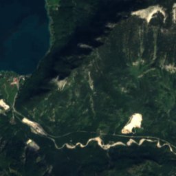
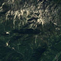
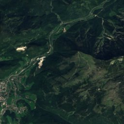
Satellite: Sentinel-2 cloudless 2016 by EOX IT Services GmbH · CC BY 4.0 · Contains modified Copernicus Sentinel data 2016
Großer Scheiblingkogel21 km E2,020 mJuly 13°Großer Scheiblingkogel
Photo: Tigerente · CC BY-SA 4.0 · Wikimedia CommonsReport this photo · linked, not stored
Rinnerkogel22 km E2,012 mJuly 13°Rinnerkogel
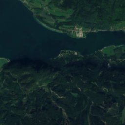
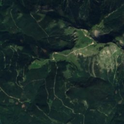
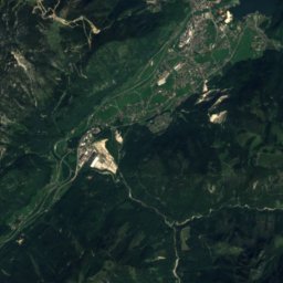
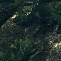
Satellite: Sentinel-2 cloudless 2016 by EOX IT Services GmbH · CC BY 4.0 · Contains modified Copernicus Sentinel data 2016
Wehrkogel, Styria20 km SE2,006 mJuly 13°Wehrkogel, Styria
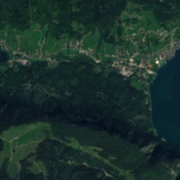
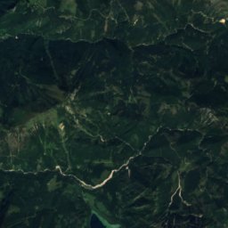
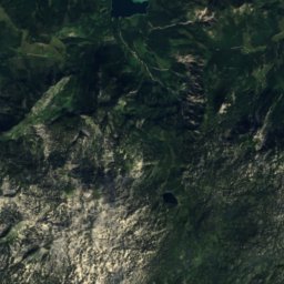
Satellite: Sentinel-2 cloudless 2016 by EOX IT Services GmbH · CC BY 4.0 · Contains modified Copernicus Sentinel data 2016
Grießkogel, Styria21 km SE2,006 mJuly 13°Grießkogel, Styria
Stay nearby

Towns close by

Steinbach am Attersee
Photo: C.Stadler/Bwag · CC BY-SA 4.0 · Wikimedia CommonsReport this photo · linked, not stored

Steinbach am Attersee

Upper Austria · 5.3 km N
15°Oct high
13wet days
46score
Steinbach am Attersee
Unterach am Attersee
Photo: H. Helmlechner · CC BY-SA 4.0 · Wikimedia CommonsReport this photo · linked, not stored

Unterach am Attersee

Upper Austria · 5.5 km NW
15°Oct high
13wet days
47score
Unterach am Attersee
Haiden
Photo: Szojak · CC BY-SA 3.0 at · Wikimedia CommonsReport this photo · linked, not stored

Haiden

Upper Austria · 7.4 km S
15°Oct high
13wet days
48score
Haiden
Strobl
Photo: C.Stadler/Bwag · CC BY-SA 4.0 · Wikimedia CommonsReport this photo · linked, not stored

Strobl

Salzburg · 9.2 km SW
15°Oct high
13wet days
46score
Strobl
Around here

Steinbach am Attersee and around

Steinbach am Attersee
Photo: C.Stadler/Bwag · CC BY-SA 4.0 · Wikimedia CommonsReport this photo · linked, not stored

Steinbach am Attersee

Upper Austria · Austria
Jul–Sepbest months
25°July high
475 maltitude
Steinbach am Attersee

Nature

Attersee
Photo: C.Stadler/Bwag · CC BY-SA 4.0 · Wikimedia CommonsReport this photo · linked, not stored
3.9 km N

Attersee

Lake · 469 m
Attersee
Schwarzensee, Upper Austria
Photo: Michael Fruehmann magrolino · CC0 · Wikimedia CommonsReport this photo · linked, not stored
9.5 km SW

Schwarzensee, Upper Austria

Lake · 716 m
Schwarzensee, Upper Austria
Seeache
Photo: Tigerente · CC BY-SA 4.0 · Wikimedia CommonsReport this photo · linked, not stored
7.8 km SW

Seeache

River
Seeache

Mountains

Hoher Dachstein
Photo: C.Stadler/Bwag · CC BY-SA 4.0 · Wikimedia CommonsReport this photo · linked, not stored
40 km S

Hoher Dachstein

2,995 m · Dachstein Mountains
Hoher Dachstein
Torstein, Salzburg
Photo: C.Stadler/Bwag · CC BY-SA 4.0 · Wikimedia CommonsReport this photo · linked, not stored
40 km S

Torstein, Salzburg

2,948 m · Dachstein
Torstein, Salzburg
Niederer Dachstein
Photo: Ralph Deleja-Hotko = de:Benutzer:Aerotiker · CC BY-SA 3.0 de · Wikimedia CommonsReport this photo · linked, not stored
39 km S

Niederer Dachstein

2,934 m · Dachstein Mountains
Niederer Dachstein

Heritage

Sankt Andreas, Steinbach am Attersee
Photo: Thomas Ledl · CC BY-SA 3.0 at · Wikimedia CommonsReport this photo · linked, not stored
0.2 km NE

Sankt Andreas, Steinbach am Attersee

Listed objects in Austria
Sankt Andreas, Steinbach am Attersee
Composition hut of Gustav Mahler, Steinbach am Attersee
Photo: Thomas Ledl · CC BY-SA 3.0 at · Wikimedia CommonsReport this photo · linked, not stored
1.1 km N

Composition hut of Gustav Mahler, Steinbach am Attersee

Listed objects in Austria · 1985
Composition hut of Gustav Mahler, Steinbach am Attersee
Kaiservilla
Photo: Aconcagua (talk) · CC BY-SA 3.0 · Wikimedia CommonsReport this photo · linked, not stored
14 km SE

Kaiservilla

Listed objects in Austria · 1860
Kaiservilla

Museums

Holzknechtmuseum, Steinbach am Attersee
Photo: Thomas Ledl · CC BY-SA 3.0 at · Wikimedia CommonsReport this photo · linked, not stored
0.8 km N

Holzknechtmuseum, Steinbach am Attersee

Holzknechtmuseum, Steinbach am Attersee
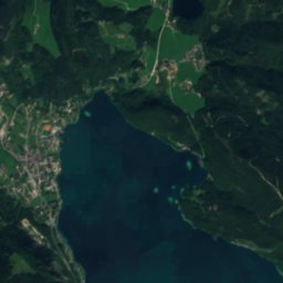
Satellite: Sentinel-2 cloudless 2016 by EOX IT Services GmbH · CC BY 4.0 · Contains modified Copernicus Sentinel data 2016
0.2 km E

Auf dem Laufsteg ins Zwetschkenreich
Auf dem Laufsteg ins Zwetschkenreich
Satellite: Sentinel-2 cloudless 2016 by EOX IT Services GmbH · CC BY 4.0 · Contains modified Copernicus Sentinel data 2016
0.7 km NE

Hausmühle Steinbach

Hausmühle Steinbach