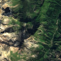
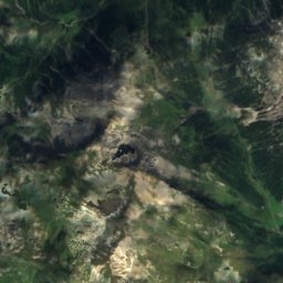
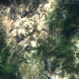
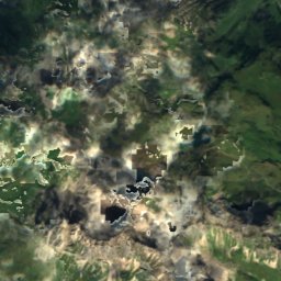
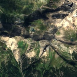
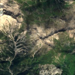
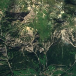
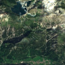
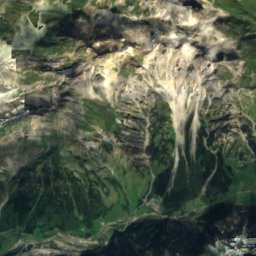
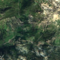
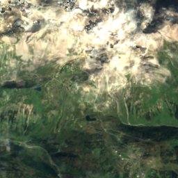
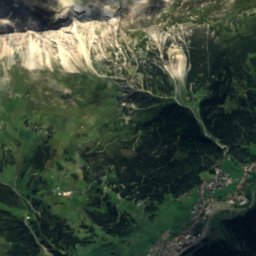
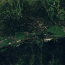
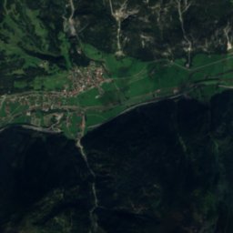
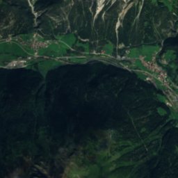
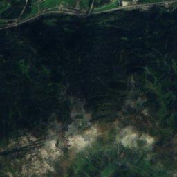
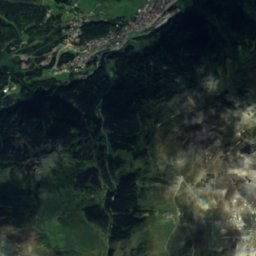
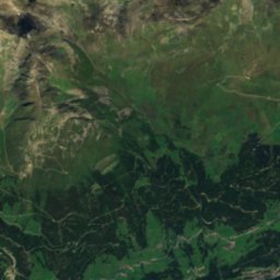
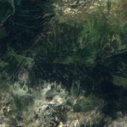
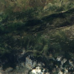
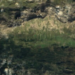
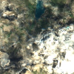
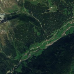
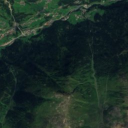
Satellite: Sentinel-2 cloudless 2016 by EOX IT Services GmbH · CC BY 4.0 · Contains modified Copernicus Sentinel data 2016

Photo: böhringer friedrich · CC BY-SA 2.5 · Wikimedia Commons
AlfenzReport this photo · linked, not stored
AlfenzAlfenzReport this photo · linked, not stored
 Verwallsee

Photo: Martin Hartmann(Vince51) · CC BY-SA 3.0 · Wikimedia Commons
Ulmer HütteReport this photo · linked, not stored
Ulmer HütteUlmer HütteReport this photo · linked, not stored

Photo: Feel free to use my photos, but please mention me as the author and if you want · CC BY-SA 3.0 at · Wikimedia Commons
KaltenberghütteReport this photo · linked, not stored
KaltenberghütteKaltenberghütteReport this photo · linked, not stored
LakeSt Anton am Arlberg, Tyrol
Maiensee
Lake1,849 m elevationBest Jun–Aug
Elevation1,849 mabove sea level
Area–surface
Nearest townSt Anton am Arlberg3.1 km
47.12° N, 10.22° EElevation 1,849 mUTC+2 · Central European Summer Time
When to goSt Anton am Arlberg · weather score
Best timeJun–Aug
October: high / low13° / 3°
Lake
Maiensee in brief
Maiensee is a lake in St Anton am Arlberg, Tyrol, Austria.
It lies at 1,849 m above sea level.
The nearest town in the atlas is St Anton am Arlberg, 3.1 km to the E, where the weather is best in June, July and August.
Weather nearby now
Forecast for St Anton am Arlberg6°
Sunny now
Today
22 Oct
6°
-2°
1 mm
Fri
23 Oct
9°
1°
3 mm
Sat
24 Oct
3°
-2°
1 mm
Sun
25 Oct
9°
2°
21 mm
Mon
26 Oct
12°
3°
1 mm
Model run 00:00 UTCRefreshed several times a day
When to go
Climate of St Anton am ArlbergThe best months around Maiensee
Month score in St Anton am Arlberg
Comfort, dry days and sunshine · out of 10022
Jan
25
Feb
20
Mar
26
Apr
50
May
62
Jun
64
Jul
64
Aug
56
Sep
38
Oct
25
Nov
21
Dec
Map
Maiensee from above
Nature nearbyAll of Austria


Photo: Martin Hartmann(Vince51) · CC BY-SA 3.0 · Wikimedia CommonsReport this photo · linked, not stored

Photo: Feel free to use my photos, but please mention me as the author and if you want · CC BY-SA 3.0 at · Wikimedia CommonsReport this photo · linked, not stored


Summits nearbyMountains of Austria
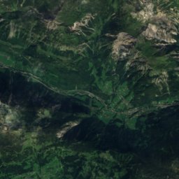
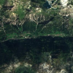
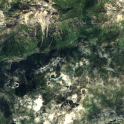
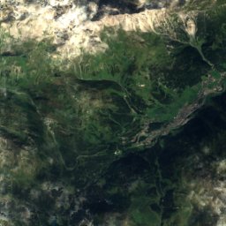
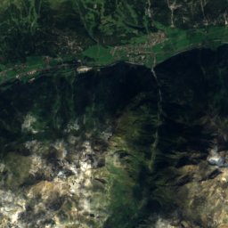
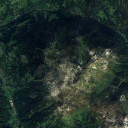
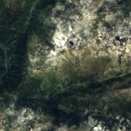
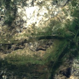
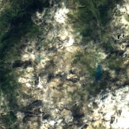
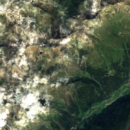
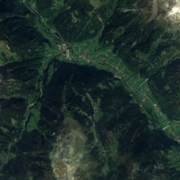
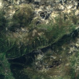
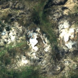
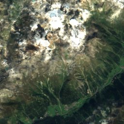
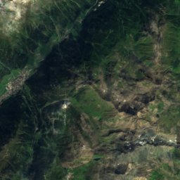
Satellite: Sentinel-2 cloudless 2016 by EOX IT Services GmbH · CC BY 4.0 · Contains modified Copernicus Sentinel data 2016


Photo: User: Bbb at wikivoyage shared · CC BY-SA 1.0 · Wikimedia CommonsReport this photo · linked, not stored
Stay nearby
Towns close by

Photo: Johnfmh at English Wikipedia · Public domain · Wikimedia CommonsReport this photo · linked, not stored
St Anton am Arlberg
Tyrol · 3.1 km E
13°Oct high
13wet days
38score

Photo: User: Bbb at wikivoyage shared · CC BY-SA 3.0 · Wikimedia CommonsReport this photo · linked, not stored
Zürs
Vorarlberg · 6.4 km NW
9°Oct high
13wet days
23score


Photo: böhringer friedrich · CC BY-SA 3.0 at · Wikimedia CommonsReport this photo · linked, not stored
Klösterle
Vorarlberg · 11 km W
12°Oct high
13wet days
35score
Around here
St Anton am Arlberg and around
Photo: Johnfmh at English Wikipedia · Public domain · Wikimedia CommonsReport this photo · linked, not stored
St Anton am Arlberg
Tyrol · Austria
Jun–Augbest months
21°July high
1,307 maltitude
Nature


Mountains

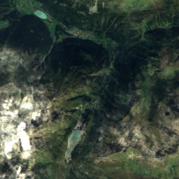
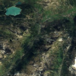
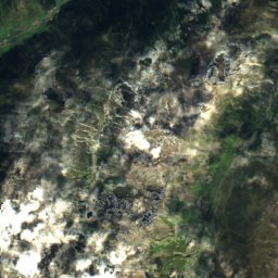
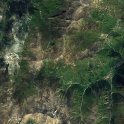
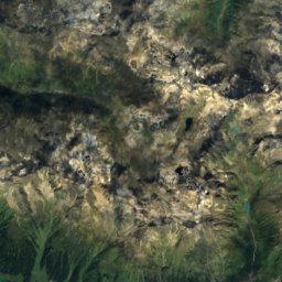
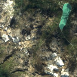
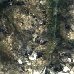
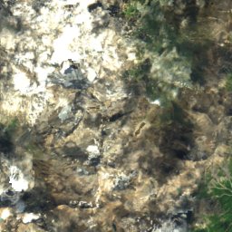
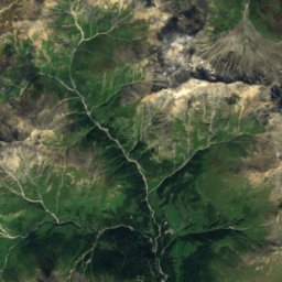
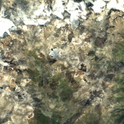
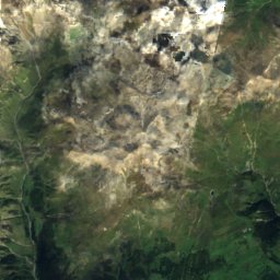
Satellite: Sentinel-2 cloudless 2016 by EOX IT Services GmbH · CC BY 4.0 · Contains modified Copernicus Sentinel data 2016
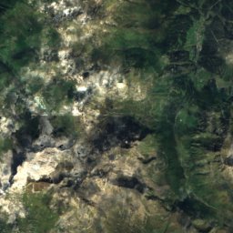
Fluchthorn
3,397 m · Silvretta Alps
Heritage

Saint Anthony of Padua Church (Sankt Anton am Arlberg)
Listed objects in Austria


Museums





Satellite: Sentinel-2 cloudless 2016 by EOX IT Services GmbH · CC BY 4.0 · Contains modified Copernicus Sentinel data 2016