
 Scheidseen

Photo: Vince51 · CC BY-SA 3.0 · Wikimedia Commons
Konstanzer HütteReport this photo · linked, not stored
Konstanzer HütteKonstanzer HütteReport this photo · linked, not stored

Photo: Bergsteigenonline · CC BY-SA 4.0 · Wikimedia Commons
new Reutlinger hutReport this photo · linked, not stored
new Reutlinger hutnew Reutlinger hutReport this photo · linked, not stored

Photo: Tobias1984 · CC BY-SA 4.0 · Wikimedia Commons
Brüllender SeeReport this photo · linked, not stored
Brüllender SeeBrüllender SeeReport this photo · linked, not stored
RiverGaltür, Tyrol
Litz
RiverBest Jun–Aug
Elevation–above sea level
Length24 kmsource to mouth
Nearest townGaltür8.7 km
47.04° N, 10.15° EUTC+2 · Central European Summer Time
When to goGaltür · weather score
Best timeJun–Aug
October: high / low11° / 1°
River
Litz in brief
Litz is a river in Galtür, Tyrol, Austria.
The nearest town in the atlas is Galtür, 8.7 km to the S, where the weather is best in June, July and August.
Litz is 24 km long.
Weather nearby now
Forecast for Galtür2°
Sunny now
Today
22 Oct
3°
-4°
1 mm
Fri
23 Oct
5°
-1°
1 mm
Sat
24 Oct
0°
-5°
2 mm
Sun
25 Oct
7°
1°
12 mm
Mon
26 Oct
9°
-2°
Model run 00:00 UTCRefreshed several times a day
The course of the river
As mapped in OpenStreetMap, with the towns of the atlas along its banks.- 1Silbertal886 m
- 2Schruns700 m
- 3Bartholomäberg1,097 m
- 4Tschagguns699 m
sourcemouth (or where the mapped line leaves the country)
When to go
Climate of GaltürThe best months around Litz
Month score in Galtür
Comfort, dry days and sunshine · out of 10023
Jan
26
Feb
20
Mar
20
Apr
40
May
60
Jun
64
Jul
63
Aug
47
Sep
30
Oct
22
Nov
22
Dec
Map
Litz from above
Nature nearbyAll of Austria


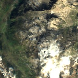
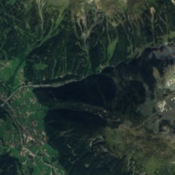
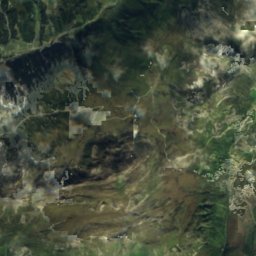
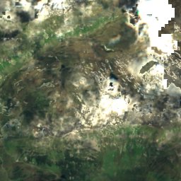
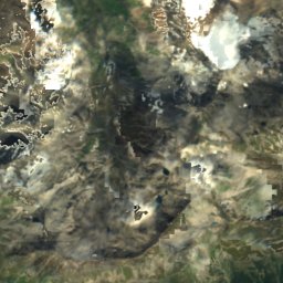
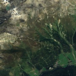
Satellite: Sentinel-2 cloudless 2016 by EOX IT Services GmbH · CC BY 4.0 · Contains modified Copernicus Sentinel data 2016


Summits nearbyMountains of Austria
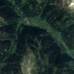
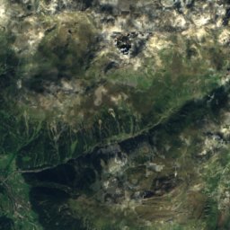
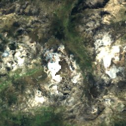
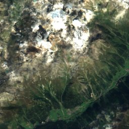
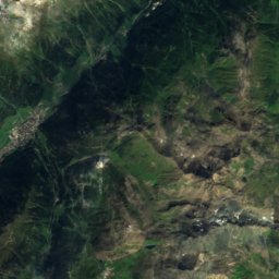
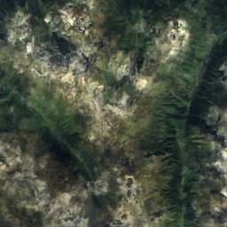
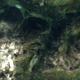
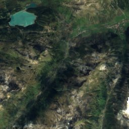
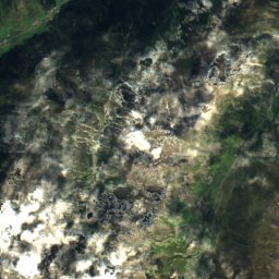
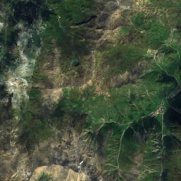
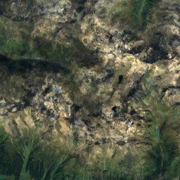
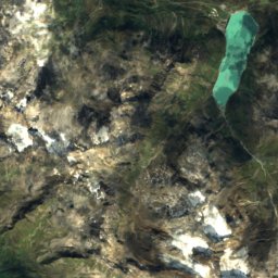
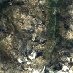
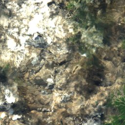
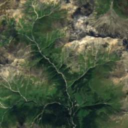
Satellite: Sentinel-2 cloudless 2016 by EOX IT Services GmbH · CC BY 4.0 · Contains modified Copernicus Sentinel data 2016
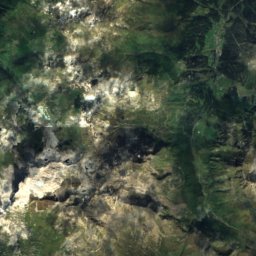
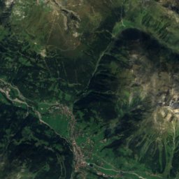
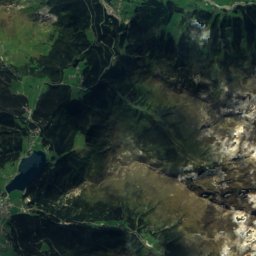
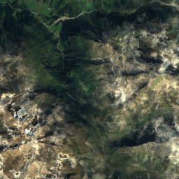
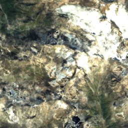
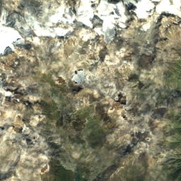
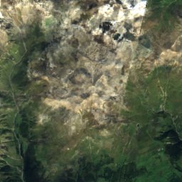
Satellite: Sentinel-2 cloudless 2016 by EOX IT Services GmbH · CC BY 4.0 · Contains modified Copernicus Sentinel data 2016


Stay nearby
Towns close by


Photo: böhringer friedrich · CC BY-SA 3.0 at · Wikimedia CommonsReport this photo · linked, not stored
Klösterle
Vorarlberg · 11 km NW
12°Oct high
13wet days
35score

Around here
Galtür and around
Nature


Photo: ANKAWÜ at German Wikipedia · Public domain · Wikimedia CommonsReport this photo · linked, not stored
Vermunt Stausee
Lake · 1,740 m
Mountains

Satellite: Sentinel-2 cloudless 2016 by EOX IT Services GmbH · CC BY 4.0 · Contains modified Copernicus Sentinel data 2016
Fluchthorn
3,397 m · Silvretta Alps

Heritage


Satellite: Sentinel-2 cloudless 2016 by EOX IT Services GmbH · CC BY 4.0 · Contains modified Copernicus Sentinel data 2016
Pfarr- und Wallfahrtskirche Mariä Geburt (Galtür)
Listed objects in Austria

Photo: Feel free to use my photos, but please mention me as the author and if you want · CC BY-SA 3.0 at · Wikimedia CommonsReport this photo · linked, not stored
Kuratienkirche hl. Martin, Partenen
Listed objects in Austria
Museums
Satellite: Sentinel-2 cloudless 2016 by EOX IT Services GmbH · CC BY 4.0 · Contains modified Copernicus Sentinel data 2016
Alpinarium
Satellite: Sentinel-2 cloudless 2016 by EOX IT Services GmbH · CC BY 4.0 · Contains modified Copernicus Sentinel data 2016
Paznauner Bauernmuseum



Satellite: Sentinel-2 cloudless 2016 by EOX IT Services GmbH · CC BY 4.0 · Contains modified Copernicus Sentinel data 2016