
Photo: Wolfgang Glock · Public domain · Wikimedia Commons
LeithaReport this photo · linked, not stored
LeithaReport this photo · linked, not stored

Photo: Σ τ ε ι ν δ υ 10:25, 5. Jul. 2009 (CEST) · CC BY-SA 2.0 de · Wikimedia Commons
PittenReport this photo · linked, not stored
PittenPittenReport this photo · linked, not stored

Photo: Einer flog zu Weit · CC BY-SA 3.0 · Wikimedia Commons
SchwarzaReport this photo · linked, not stored
SchwarzaSchwarzaReport this photo · linked, not stored

Photo: Christian Pirkl · CC BY-SA 4.0 · Wikimedia Commons
AltaquelleReport this photo · linked, not stored
AltaquelleAltaquelleReport this photo · linked, not stored

Photo: Wolfgang Glock · CC BY-SA 4.0 · Wikimedia Commons
Achtersee, Wiener NeustadtReport this photo · linked, not stored
Achtersee, Wiener NeustadtAchtersee, Wiener NeustadtReport this photo · linked, not stored
RiverLanzenkirchen, Lower Austria
Leitha
RiverBest Apr–May · Sep
Elevation–above sea level
Length180 kmsource to mouth
Nearest townLanzenkirchen1.0 km
47.74° N, 16.23° EUTC+1 · Central European Standard Time
When to goLanzenkirchen · weather score
Best timeApr–May · Sep
October: high / low15° / 6°
River
Leitha in brief
Leitha is a river in Lanzenkirchen, Lower Austria, Austria.
The nearest town is Lanzenkirchen, 1.0 km to the NE, where the weather is best in April, May and September.
Leitha is 180 km long.
Weather nearby now
Forecast for Lanzenkirchen2°
Clear now
Today
27 Oct
14°
1°
Wed
28 Oct
13°
1°
Thu
29 Oct
13°
10°
1 mm
Fri
30 Oct
12°
5°
Sat
31 Oct
11°
3°
Model run 12:00 UTCRefreshed several times a day
The course of the river
As mapped in OpenStreetMap, with the towns along its banks.- 1Bad Erlach312 m
- 2Lanzenkirchen288 m
- 3Katzelsdorf277 m
- 4Wiener Neustadt270 m
- 5Neudörfl268 m
- 6Lichtenwörth255 m
- 7Eggendorf239 m
- 8Ebenfurth228 m
- 9Neufeld an der Leitha231 m
- 10Pottendorf219 m
- 11Götzendorf an der Leitha168 m
- 12Bruck an der Leitha157 m
- 13Bruckneudorf156 m
- 14Rohrau144 m
sourcemouth (or where the mapped line leaves the country)
When to go
Climate of LanzenkirchenThe best months around Leitha
Month score in Lanzenkirchen
Comfort, dry days and sunshine · out of 10028
Jan
30
Feb
36
Mar
70
Apr
65
May
65
Jun
60
Jul
63
Aug
73
Sep
60
Oct
31
Nov
28
Dec
Map
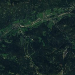
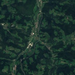
Leitha from above
Nature nearbyAll of Austria

Photo: Σ τ ε ι ν δ υ 10:25, 5. Jul. 2009 (CEST) · CC BY-SA 2.0 de · Wikimedia CommonsReport this photo · linked, not stored

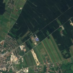
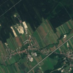
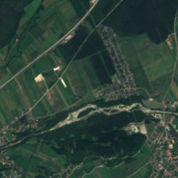
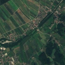
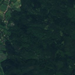
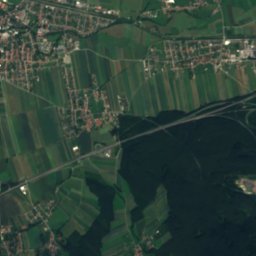
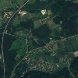
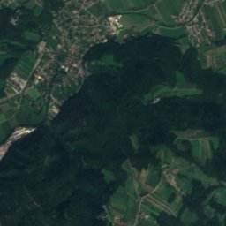
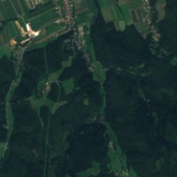
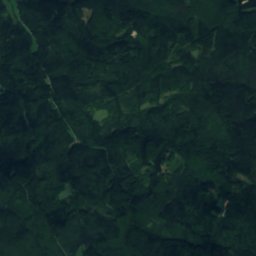
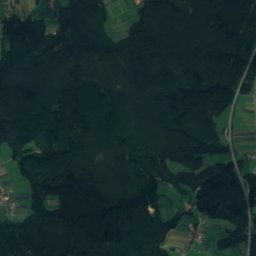
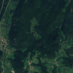
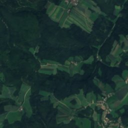
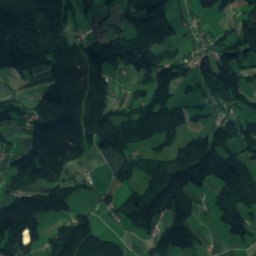
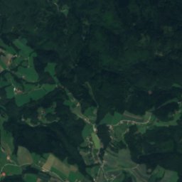
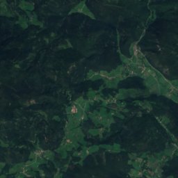
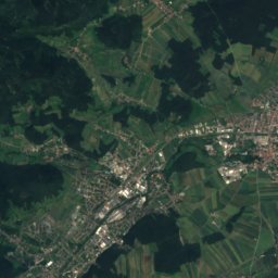
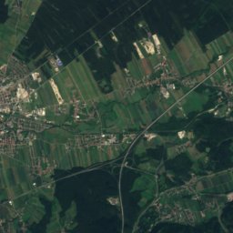
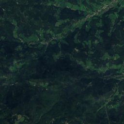
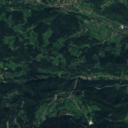
Satellite: Sentinel-2 cloudless 2016 by EOX IT Services GmbH · CC BY 4.0 · Contains modified Copernicus Sentinel data 2016


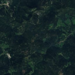
Summits nearbyMountains of Austria

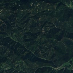
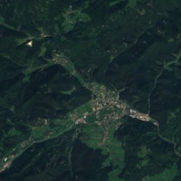
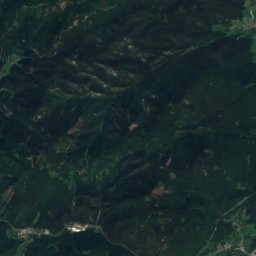
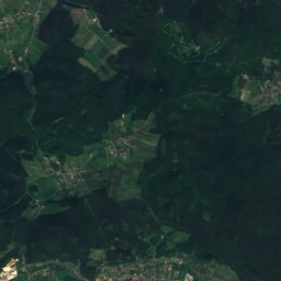
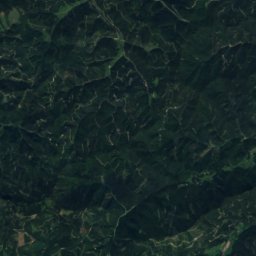
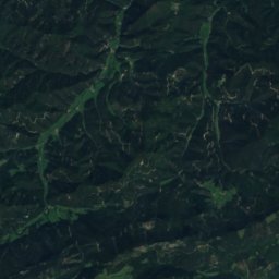
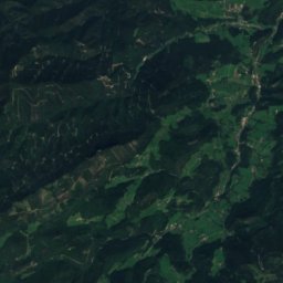
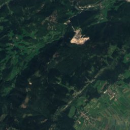
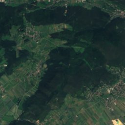
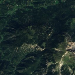
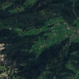
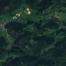
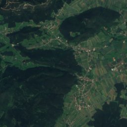
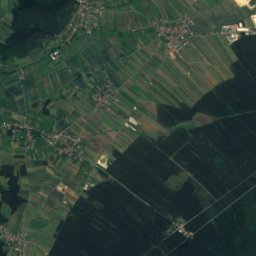
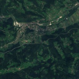
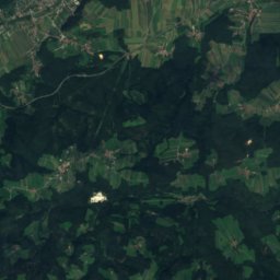
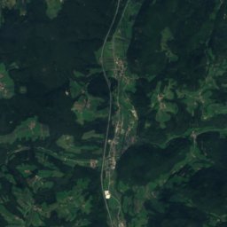
Satellite: Sentinel-2 cloudless 2016 by EOX IT Services GmbH · CC BY 4.0 · Contains modified Copernicus Sentinel data 2016

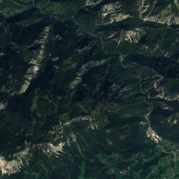
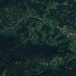
Satellite: Sentinel-2 cloudless 2016 by EOX IT Services GmbH · CC BY 4.0 · Contains modified Copernicus Sentinel data 2016
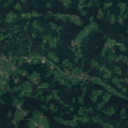
Satellite: Sentinel-2 cloudless 2016 by EOX IT Services GmbH · CC BY 4.0 · Contains modified Copernicus Sentinel data 2016
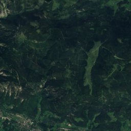
Stay nearby
Towns close by


Photo: Steindy 13:51, 15. Mai 2008 (CEST) · CC BY-SA 2.0 de · Wikimedia CommonsReport this photo · linked, not stored
Frohsdorf
Lower Austria · 3.0 km NE
15°Oct high
8wet days
62score
Around here
Lanzenkirchen and around
Nature
Photo: Σ τ ε ι ν δ υ 10:25, 5. Jul. 2009 (CEST) · CC BY-SA 2.0 de · Wikimedia CommonsReport this photo · linked, not stored
Pitten
River
Mountains
Satellite: Sentinel-2 cloudless 2016 by EOX IT Services GmbH · CC BY 4.0 · Contains modified Copernicus Sentinel data 2016
Klosterwappen
2,076 m · Schneeberg


Photo: Karcsai Balázs (Giskard~huwiki) · Public domain · Wikimedia CommonsReport this photo · linked, not stored
Dreimarkstein, Styria
1,948 m · Rax
Heritage

Photo: Steindy 13:51, 15. Mai 2008 (CEST) · CC BY-SA 2.0 de · Wikimedia CommonsReport this photo · linked, not stored
Schloss Frohsdorf
Listed objects in Austria

Photo: Manfreeed (talk)Manfreeed · CC BY-SA 3.0 at · Wikimedia CommonsReport this photo · linked, not stored
Sta. Christiana Frohsdorf
Listed objects in Austria
Museums

Photo: Architect: Peter Übersberger (koup architekten / arch.c schmidt-ginzkey)Image: W · CC BY-SA 4.0 · Wikimedia CommonsReport this photo · linked, not stored


