Skip to content
Destinations
Weather & climate
Nature
Outdoors
Culture
Events
Sky & live
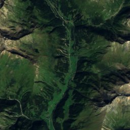
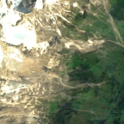
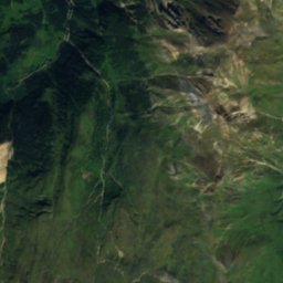
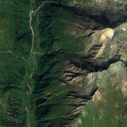
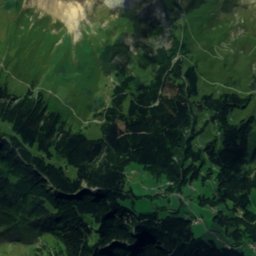
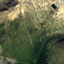
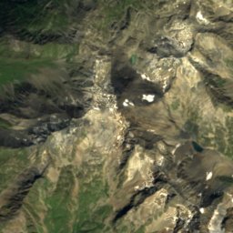
Satellite: Sentinel-2 cloudless 2016 by EOX IT Services GmbH · CC BY 4.0 · Contains modified Copernicus Sentinel data 2016
Leiterfall
Photo: Snapshots Of The Past · CC BY-SA 2.0 · Wikimedia Commons
LeiterfallReport this photo · linked, not stored
Leiterfall
WaterfallHeiligenblut, Carinthia

Leiterfall

Waterfall1,744 m elevationBest Jun–Aug
Elevation1,744 mabove sea level
Height–of the falls
Nearest townHeiligenblut4.6 km
47.05° N, 12.78° EElevation 1,744 mUTC+1 · Central European Standard Time
When to goHeiligenblut · weather score
JanFebMarAprMayJunJulAugSepOctNovDec31October
Best timeJun–Aug
October: high / low12° / 3°
Waterfall

Leiterfall in brief

Leiterfall is a waterfall in Heiligenblut, Carinthia, Austria.

It lies at 1,744 m above sea level.

The nearest town is Heiligenblut, 4.6 km to the E, where the weather is best in June, July and August.

Heiligenblut: weather and travel guide

Weather nearby now

Forecast for Heiligenblut
9°
Cloudy now
Wind5 km/h
Humidity61%
Cloud cover97%
Today
27 Oct
12°
4°
Wed
28 Oct
10°
5°
2 mm
Thu
29 Oct
8°
1°
Fri
30 Oct
10°
2°
Sat
31 Oct
11°
2°

Model run 12:00 UTCRefreshed several times a day

When to go

The best months around Leiterfall

Climate of Heiligenblut

Month score in Heiligenblut

Comfort, dry days and sunshine · out of 100
22
Jan
23
Feb
20
Mar
24
Apr
48
May
62
Jun
64
Jul
63
Aug
52
Sep
31
Oct
23
Nov
20
Dec
Map

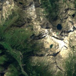
Leiterfall from above

Nature nearbyAll of Austria
Photo: C.Stadler/Bwag · CC BY-SA 4.0 · Wikimedia CommonsReport this photo · linked, not stored
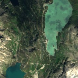
Stausee MargaritzeLake2.2 kmNWStausee Margaritze
Photo: Quovadit · CC BY-SA 3.0 at · Wikimedia CommonsReport this photo · linked, not stored
GößnitzfallWaterfall2.3 kmSEGößnitzfall
Photo: C.Stadler/Bwag · CC BY-SA 4.0 · Wikimedia CommonsReport this photo · linked, not stored
GlocknerhausMountain hut2.3 kmNWGlocknerhaus
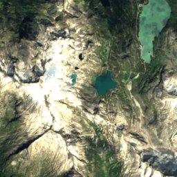
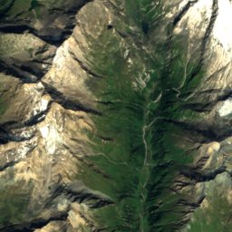
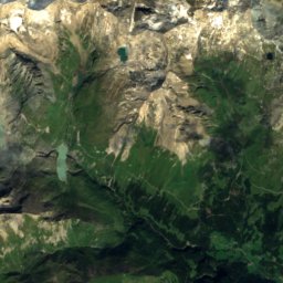
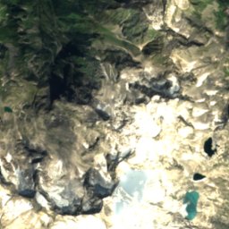
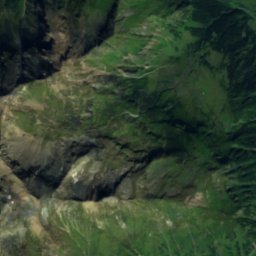
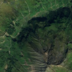
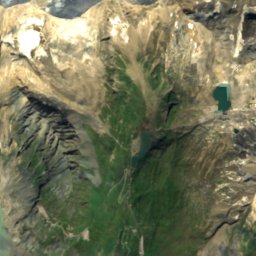
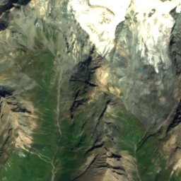
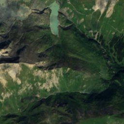
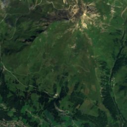
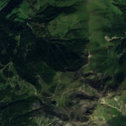
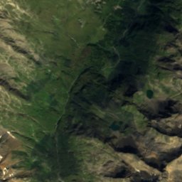
Satellite: Sentinel-2 cloudless 2016 by EOX IT Services GmbH · CC BY 4.0 · Contains modified Copernicus Sentinel data 2016
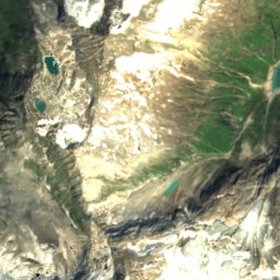
KachelseeLake2.7 kmSEKachelsee
Photo: Ewald Gabardi · CC BY-SA 3.0 · Wikimedia CommonsReport this photo · linked, not stored
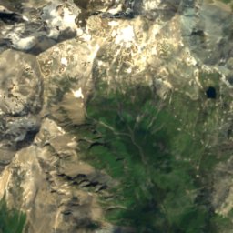
SanderseeLake3.1 kmNWSandersee
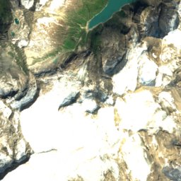
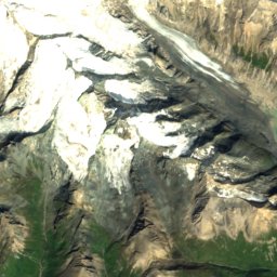
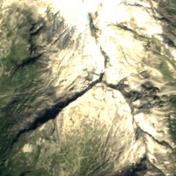
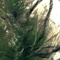
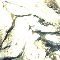
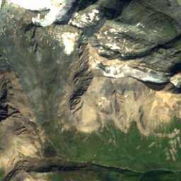
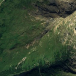
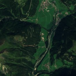
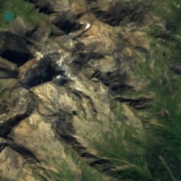
Satellite: Sentinel-2 cloudless 2016 by EOX IT Services GmbH · CC BY 4.0 · Contains modified Copernicus Sentinel data 2016
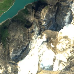
Südliches PfandlschartenkeesGlacier3.6 kmNSüdliches Pfandlschartenkees
Summits nearbyMountains of Austria
Photo: DennisPeeters · Public domain · Wikimedia CommonsReport this photo · linked, not stored
Grossglockner7.3 km W3,798 mJuly 6°Grossglockner
Photo: Eintragung ins Nichts · CC BY-SA 3.0 · Wikimedia CommonsReport this photo · linked, not stored
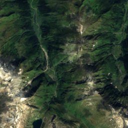
Kleinglockner7.2 km W3,770 mJuly 6°Kleinglockner
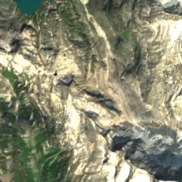
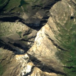
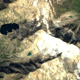
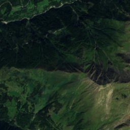
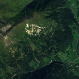
Satellite: Sentinel-2 cloudless 2016 by EOX IT Services GmbH · CC BY 4.0 · Contains modified Copernicus Sentinel data 2016
Pöschlturm8.1 km W3,722 mJuly 5°Pöschlturm
Satellite: Sentinel-2 cloudless 2016 by EOX IT Services GmbH · CC BY 4.0 · Contains modified Copernicus Sentinel data 2016
Glocknerwand8.1 km W3,721 mJuly 5°Glocknerwand
Photo: Ewald Gabardi · CC BY-SA 3.0 · Wikimedia CommonsReport this photo · linked, not stored
Hofmannspitze8.1 km W3,711 mJuly 5°Hofmannspitze
Satellite: Sentinel-2 cloudless 2016 by EOX IT Services GmbH · CC BY 4.0 · Contains modified Copernicus Sentinel data 2016
Teufelshorn7.6 km W3,677 mJuly 5°Teufelshorn
Stay nearby

Towns close by

Heiligenblut
Photo: C.Stadler/Bwag · CC BY-SA 4.0 · Wikimedia CommonsReport this photo · linked, not stored

Heiligenblut

Carinthia · 4.6 km E
12°Oct high
13wet days
31score
Heiligenblut
Kals am Großglockner
Photo: Geiserich77 · CC BY-SA 3.0 · Wikimedia CommonsReport this photo · linked, not stored

Kals am Großglockner

Tyrol · 12 km SW
12°Oct high
13wet days
29score
Kals am Großglockner
Großkirchheim
Photo: Mefusbren69 · Public domain · Wikimedia CommonsReport this photo · linked, not stored

Großkirchheim

Carinthia · 12 km SE
13°Oct high
13wet days
39score
Großkirchheim
Mörtschach
Photo: Naturpuur · CC BY-SA 4.0 · Wikimedia CommonsReport this photo · linked, not stored

Mörtschach

Carinthia · 17 km SE
12°Oct high
13wet days
33score
Mörtschach
Around here

Heiligenblut and around

Heiligenblut
Photo: C.Stadler/Bwag · CC BY-SA 4.0 · Wikimedia CommonsReport this photo · linked, not stored

Heiligenblut

Carinthia · Austria
Jun–Augbest months
21°July high
1,316 maltitude
Heiligenblut

Nature

Pasterze Glacier
Photo: Otberg · Public domain · Wikimedia CommonsReport this photo · linked, not stored
10 km NW

Pasterze Glacier

Glacier · 2,682 m
Pasterze Glacier
Stausee Margaritze
Photo: C.Stadler/Bwag · CC BY-SA 4.0 · Wikimedia CommonsReport this photo · linked, not stored
6.7 km NW

Stausee Margaritze

Lake · 1,958 m
Stausee Margaritze
Wallackhaus
Photo: Dimitry Anikin · CC0 · Wikimedia CommonsReport this photo · linked, not stored
3.4 km N

Wallackhaus

Mountain hut
Wallackhaus

Mountains

Grossglockner
Photo: DennisPeeters · Public domain · Wikimedia CommonsReport this photo · linked, not stored
12 km W

Grossglockner

3,798 m · Glockner Group
Grossglockner
Kleinglockner
Photo: Eintragung ins Nichts · CC BY-SA 3.0 · Wikimedia CommonsReport this photo · linked, not stored
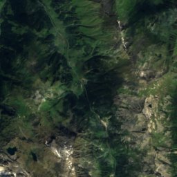
12 km W

Kleinglockner

3,770 m · Glockner Group
Kleinglockner
Satellite: Sentinel-2 cloudless 2016 by EOX IT Services GmbH · CC BY 4.0 · Contains modified Copernicus Sentinel data 2016
13 km W

Pöschlturm

3,722 m
Pöschlturm

Heritage

Pfarrkirche Heiligenblut
Photo: C.Stadler/Bwag · CC BY-SA 4.0 · Wikimedia CommonsReport this photo · linked, not stored
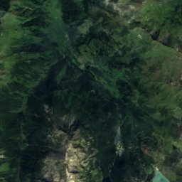
0.2 km W

Pfarrkirche Heiligenblut

Listed objects in Austria
Pfarrkirche Heiligenblut
Filialkirche Pockhorn
Photo: Mefusbren69 · Public domain · Wikimedia CommonsReport this photo · linked, not stored
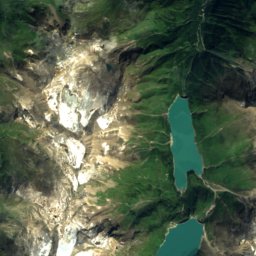
1.8 km SE

Filialkirche Pockhorn

Listed objects in Austria
Filialkirche Pockhorn
Grossglockner High Alpine Road
Photo: Salvador Escriva · CC BY-SA 4.0 · Wikimedia CommonsReport this photo · linked, not stored
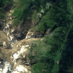
4.8 km N

Grossglockner High Alpine Road

Tentative World Heritage Site · 1935
Grossglockner High Alpine Road

Museums

Wilhelm-Swarovski-Beobachtungswarte
Photo: Aqalexor · CC BY-SA 4.0 · Wikimedia CommonsReport this photo · linked, not stored
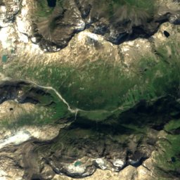
7.8 km NW

Wilhelm-Swarovski-Beobachtungswarte

1998
Wilhelm-Swarovski-Beobachtungswarte
Schloss Großkirchheim - Südbau
Photo: Mefusbren69 · Public domain · Wikimedia CommonsReport this photo · linked, not stored
8.1 km SE

Schloss Großkirchheim - Südbau

1576
Schloss Großkirchheim - Südbau