Skip to content
Destinations
Weather & climate
Nature
Outdoors
Culture
Events
Sky & live
Lassingfall
Photo: Duke of W4 · CC BY-SA 4.0 · Wikimedia Commons
LassingfallReport this photo · linked, not stored
Ötscherbach
Photo: Uoaei1 · CC BY-SA 4.0 · Wikimedia Commons
ÖtscherbachReport this photo · linked, not stored
Ötscherbach
Erlauf-Stausee
Photo: Unknown author · CC BY-SA 3.0 · Wikimedia Commons
Erlauf-StauseeReport this photo · linked, not stored
Erlauf-Stausee
Mira Fall
Photo: The original uploader was Geof at German Wikipedia. · CC BY-SA 3.0 · Wikimedia Commons
Mira FallReport this photo · linked, not stored
Mira Fall
Geldloch
Photo: C.Stadler/Bwag · CC BY-SA 4.0 · Wikimedia Commons
GeldlochReport this photo · linked, not stored
Geldloch
WaterfallJosefsberg, Lower Austria

Lassingfall

Waterfall1,005 m elevationBest Jun–Aug
Elevation1,005 mabove sea level
Height–of the falls
Nearest townJosefsberg1.5 km
47.85° N, 15.30° EElevation 1,005 mUTC+1 · Central European Standard Time
When to goJosefsberg · weather score
JanFebMarAprMayJunJulAugSepOctNovDec36October
Best timeJun–Aug
October: high / low12° / 3°
Waterfall

Lassingfall in brief

Lassingfall is a waterfall in Josefsberg, Lower Austria, Austria.

It lies at 1,005 m above sea level.

The nearest town is Josefsberg, 1.5 km to the SE, where the weather is best in June, July and August.

Josefsberg: weather and travel guide

Weather nearby now

Forecast for Josefsberg
13°
Sunny now
Wind7 km/h
Humidity27%
Cloud cover0%
Today
27 Oct
13°
-2°
Wed
28 Oct
13°
0°
6 mm
Thu
29 Oct
7°
4°
8 mm
Fri
30 Oct
9°
1°
Sat
31 Oct
8°
3°
1 mm

Model run 00:00 UTCRefreshed several times a day

When to go

The best months around Lassingfall

Climate of Josefsberg

Month score in Josefsberg

Comfort, dry days and sunshine · out of 100
19
Jan
21
Feb
19
Mar
34
Apr
51
May
61
Jun
63
Jul
63
Aug
54
Sep
36
Oct
23
Nov
18
Dec
Map

Lassingfall from above

Nature nearbyAll of Austria
Photo: Uoaei1 · CC BY-SA 4.0 · Wikimedia CommonsReport this photo · linked, not stored
ÖtscherbachRiver0.8 kmWÖtscherbach
Photo: Unknown author · CC BY-SA 3.0 · Wikimedia CommonsReport this photo · linked, not stored
Erlauf-StauseeLake3.3 kmSErlauf-Stausee
Photo: The original uploader was Geof at German Wikipedia. · CC BY-SA 3.0 · Wikimedia CommonsReport this photo · linked, not stored
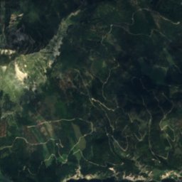
Mira FallWaterfall3.5 kmWMira Fall
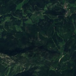
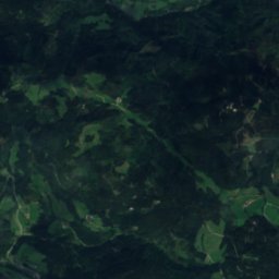
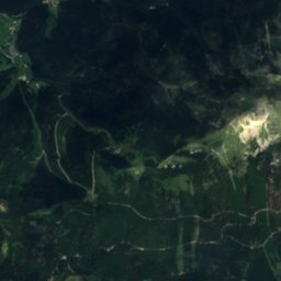
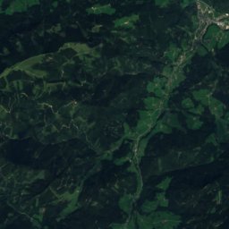
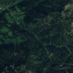
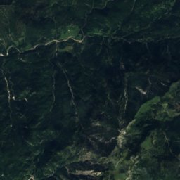
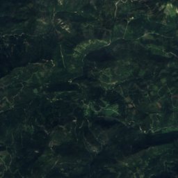
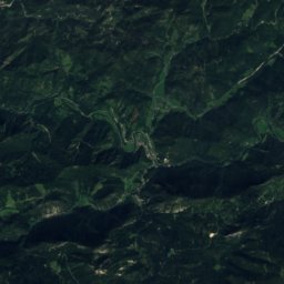
Satellite: Sentinel-2 cloudless 2016 by EOX IT Services GmbH · CC BY 4.0 · Contains modified Copernicus Sentinel data 2016
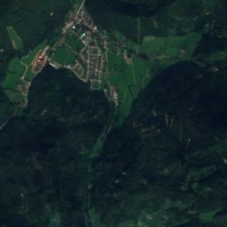
SchindelkogelschachtCave5.4 kmSESchindelkogelschacht
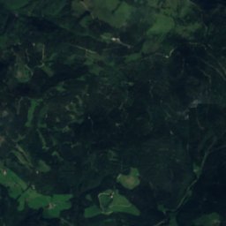
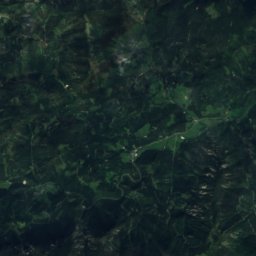
Satellite: Sentinel-2 cloudless 2016 by EOX IT Services GmbH · CC BY 4.0 · Contains modified Copernicus Sentinel data 2016
Taubenloch, Lower AustriaCave5.9 kmWTaubenloch, Lower Austria
Photo: C.Stadler/Bwag · CC BY-SA 4.0 · Wikimedia CommonsReport this photo · linked, not stored
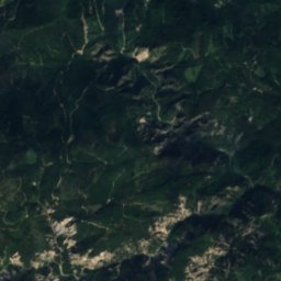
GeldlochCave6.0 kmWGeldloch
Summits nearbyMountains of Austria
Photo: Flexman · CC BY-SA 4.0 · Wikimedia CommonsReport this photo · linked, not stored
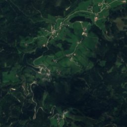
Hohe Weichsel24 km S2,006 mJuly 14°Hohe Weichsel
Photo: Liuthalas · CC BY-SA 4.0 · Wikimedia CommonsReport this photo · linked, not stored
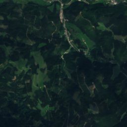
Krautgartenkogel25 km S1,988 mJuly 16°Krautgartenkogel
Photo: Herzi Pinki · CC BY-SA 3.0 · Wikimedia CommonsReport this photo · linked, not stored
Hohe Veitsch24 km S1,981 mJuly 14°Hohe Veitsch
Photo: Schmid · CC BY-SA 3.0 · Wikimedia CommonsReport this photo · linked, not stored
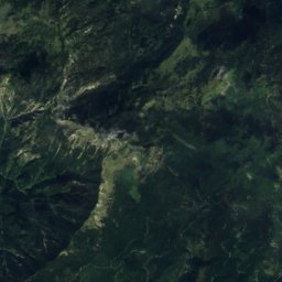
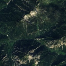
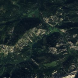
Hochstadl25 km SW1,919 mJuly 16°Hochstadl
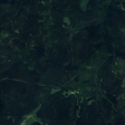
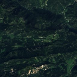
Satellite: Sentinel-2 cloudless 2016 by EOX IT Services GmbH · CC BY 4.0 · Contains modified Copernicus Sentinel data 2016
Kräuterin25 km SW1,919 mJuly 16°Kräuterin
Photo: C.Stadler/Bwag · CC BY-SA 4.0 · Wikimedia CommonsReport this photo · linked, not stored
Ötscher7.0 km W1,893 mJuly 14°Ötscher
Stay nearby

Towns close by

Josefsberg
Photo: Haeferl · CC BY-SA 4.0 · Wikimedia CommonsReport this photo · linked, not stored
Josefsberg

Lower Austria · 1.5 km SE
12°Oct high
11wet days
36score
Josefsberg
Mitterbach am Erlaufsee
Photo: Haeferl · CC BY-SA 4.0 · Wikimedia CommonsReport this photo · linked, not stored
Mitterbach am Erlaufsee

Lower Austria · 4.2 km S
13°Oct high
11wet days
42score
Mitterbach am Erlaufsee
Annaberg
Photo: Haeferl · CC BY-SA 4.0 · Wikimedia CommonsReport this photo · linked, not stored
Annaberg

Lower Austria · 6.4 km E
12°Oct high
11wet days
35score
Annaberg
Puchenstuben
Photo: C.Stadler/Bwag · CC BY-SA 3.0 · Wikimedia CommonsReport this photo · linked, not stored
Puchenstuben

Lower Austria · 8.5 km N
13°Oct high
11wet days
41score
Puchenstuben
Around here

Josefsberg and around

Josefsberg
Photo: Haeferl · CC BY-SA 4.0 · Wikimedia CommonsReport this photo · linked, not stored
Josefsberg

Lower Austria · Austria
Jun–Augbest months
21°July high
1,012 maltitude
Josefsberg

Nature

Erlaufsee
Photo: Carsten Steger · CC BY-SA 4.0 · Wikimedia CommonsReport this photo · linked, not stored
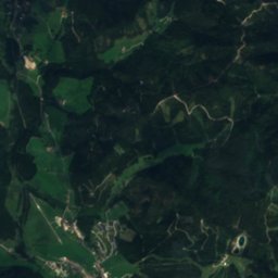
6.6 km SW

Erlaufsee

Lake · 827 m
Erlaufsee
Erlauf-Stausee
Photo: Unknown author · CC BY-SA 3.0 · Wikimedia CommonsReport this photo · linked, not stored
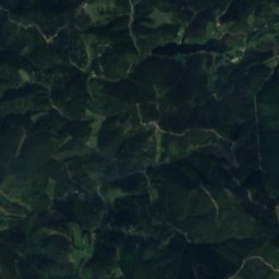
2.8 km SW

Erlauf-Stausee

Lake · 783 m
Erlauf-Stausee
Ötscherbach
Photo: Uoaei1 · CC BY-SA 4.0 · Wikimedia CommonsReport this photo · linked, not stored
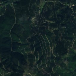
2.2 km W

Ötscherbach

River
Ötscherbach

Mountains

Hochschwab
Photo: Lex Alexander & Hohmann Bernhard · CC BY-SA 3.0 · Wikimedia CommonsReport this photo · linked, not stored
28 km SW

Hochschwab

2,277 m · Hochschwab Mountains
Hochschwab
Zagelkogel
Photo: Clemens Stockner · CC BY-SA 4.0 · Wikimedia CommonsReport this photo · linked, not stored
30 km SW

Zagelkogel

2,255 m · Hochschwab Mountains
Zagelkogel
G'hacktkogel
Photo: Schreckgespenst · CC BY-SA 4.0 · Wikimedia CommonsReport this photo · linked, not stored
28 km SW

G'hacktkogel

2,214 m · Hochschwab Mountains
G'hacktkogel

Heritage

Pfarrkirche Josefsberg
Photo: Haeferl · CC BY-SA 4.0 · Wikimedia CommonsReport this photo · linked, not stored
under 100 m NE

Pfarrkirche Josefsberg

Listed objects in Austria
Pfarrkirche Josefsberg
Wienerbruck power plant
Photo: Haeferl · CC BY-SA 4.0 · Wikimedia CommonsReport this photo · linked, not stored
2.1 km NW

Wienerbruck power plant

Listed objects in Austria
Wienerbruck power plant
Mariazell Basilica
Photo: C.Stadler/Bwag · CC BY-SA 3.0 at · Wikimedia CommonsReport this photo · linked, not stored
8.0 km S

Mariazell Basilica

Listed objects in Austria · 1683
Mariazell Basilica

Museums

Museumstramway Mariazell
Photo: Herbert Ortner · CC BY 4.0 · Wikimedia CommonsReport this photo · linked, not stored
6.6 km S

Museumstramway Mariazell

Heritage railway
Museumstramway Mariazell
Unteres Spital, Bürgerspital, Mariazell
Photo: C.Stadler/Bwag · CC BY-SA 3.0 at · Wikimedia CommonsReport this photo · linked, not stored
7.7 km S

Unteres Spital, Bürgerspital, Mariazell

Local museum
Unteres Spital, Bürgerspital, Mariazell
Montanmuseum, ehem. Verweserhaus
Photo: Veleius · CC BY-SA 3.0 at · Wikimedia CommonsReport this photo · linked, not stored
12 km S

Montanmuseum, ehem. Verweserhaus

Montanmuseum, ehem. Verweserhaus