Skip to content
Destinations
Weather & climate
Nature
Outdoors
Culture
Events
Sky & live
Kainach
Photo: Clemens Stockner · CC BY-SA 4.0 · Wikimedia Commons
KainachReport this photo · linked, not stored
Gleinalmschutzhaus
Photo: Liuthalas · CC BY-SA 4.0 · Wikimedia Commons
GleinalmschutzhausReport this photo · linked, not stored
Gleinalmschutzhaus
Liebochbach
Photo: Liuthalas · CC BY-SA 4.0 · Wikimedia Commons
LiebochbachReport this photo · linked, not stored
Liebochbach
Liesing, Styria
Photo: Eweht · CC0 · Wikimedia Commons
Liesing, StyriaReport this photo · linked, not stored
Liesing, Styria
Ameringkogel
Photo: WA-Wien · CC BY-SA 3.0 · Wikimedia Commons
AmeringkogelReport this photo · linked, not stored
Ameringkogel
RiverGallmannsegg, Styria

Kainach

RiverBest Jun–Aug
Elevation–above sea level
Length65 kmsource to mouth
Nearest townGallmannsegg3.0 km
47.21° N, 15.05° EUTC+2 · Central European Summer Time
When to goGallmannsegg · weather score
JanFebMarAprMayJunJulAugSepOctNovDec32October
Best timeJun–Aug
October: high / low12° / 3°
River

Kainach in brief

Kainach is a river in Gallmannsegg, Styria, Austria.

The nearest town in the atlas is Gallmannsegg, 3.0 km to the SE, where the weather is best in June, July and August.

Kainach is 65 km long.

Gallmannsegg: weather and travel guide

Weather nearby now

Forecast for Gallmannsegg
9°
Sunny now
Wind6 km/h
Humidity44%
Cloud cover12%
Today
22 Oct
10°
2°
1 mm
Fri
23 Oct
11°
1°
Sat
24 Oct
5°
1°
1 mm
Sun
25 Oct
8°
0°
1 mm
Mon
26 Oct
14°
2°

Model run 00:00 UTCRefreshed several times a day

The course of the river

As mapped in OpenStreetMap, with the towns of the atlas along its banks.
1234567891011121314
  1. 1Kainach bei Voitsberg531 m
  2. 2Bärnbach426 m
  3. 3Rosental an der Kainach423 m
  4. 4Voitsberg391 m
  5. 5Stallhofen413 m
  6. 6Krottendorf bei Ligist358 m
  7. 7Ligist377 m
  8. 8Mooskirchen340 m
  9. 9Lieboch334 m
  10. 10Lannach330 m
  11. 11Dobldorf320 m
  12. 12Hengsberg345 m
  13. 13Wildon273 m
  14. 14Stocking291 m
sourcemouth (or where the mapped line leaves the country)
When to go

The best months around Kainach

Climate of Gallmannsegg

Month score in Gallmannsegg

Comfort, dry days and sunshine · out of 100
22
Jan
24
Feb
21
Mar
37
Apr
56
May
63
Jun
65
Jul
65
Aug
58
Sep
32
Oct
22
Nov
21
Dec
Map

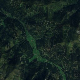
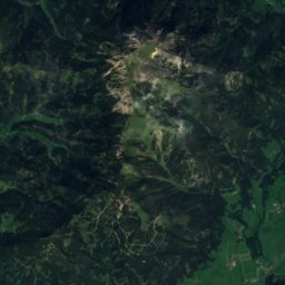
Kainach from above

Nature nearbyAll of Austria
Photo: Liuthalas · CC BY-SA 4.0 · Wikimedia CommonsReport this photo · linked, not stored
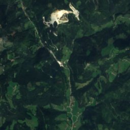
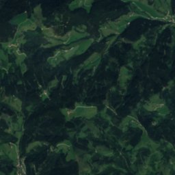
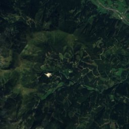
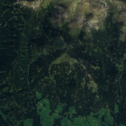
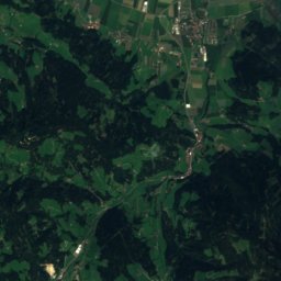
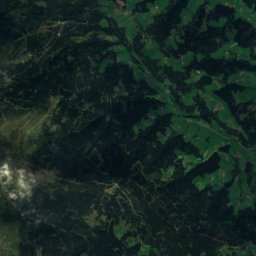
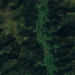
GleinalmschutzhausMountain hut1.2 kmNEGleinalmschutzhaus
Satellite: Sentinel-2 cloudless 2016 by EOX IT Services GmbH · CC BY 4.0 · Contains modified Copernicus Sentinel data 2016
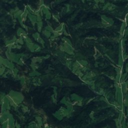
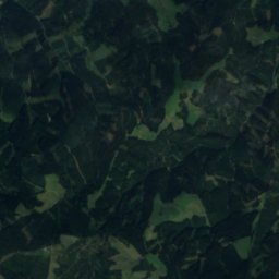
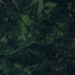
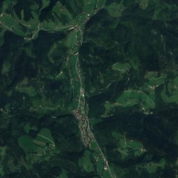
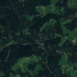
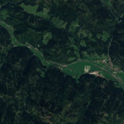
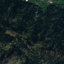
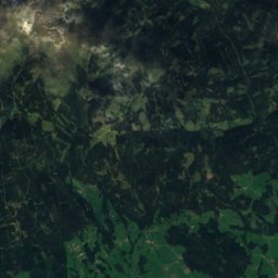
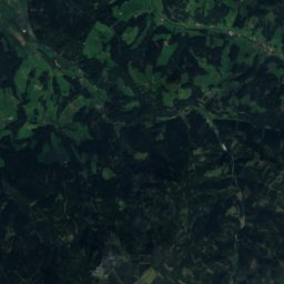
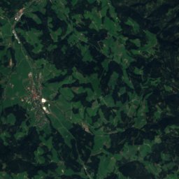
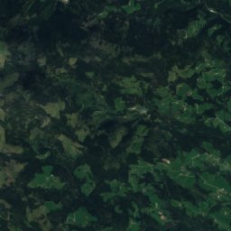
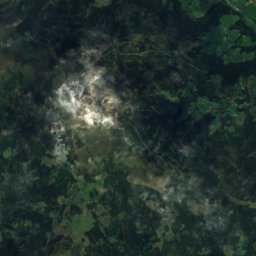
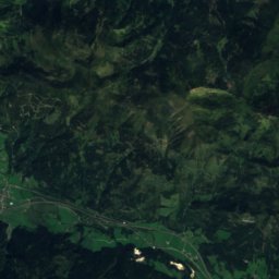
JonsenhöhleCave7.3 kmSJonsenhöhle
Satellite: Sentinel-2 cloudless 2016 by EOX IT Services GmbH · CC BY 4.0 · Contains modified Copernicus Sentinel data 2016
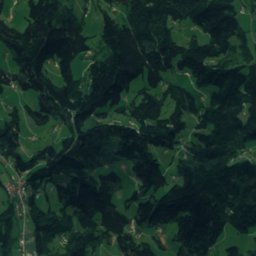
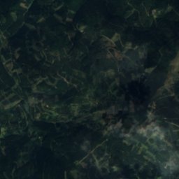
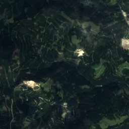
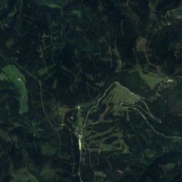
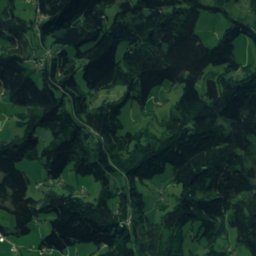
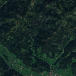
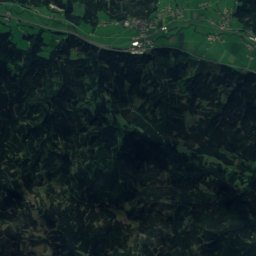
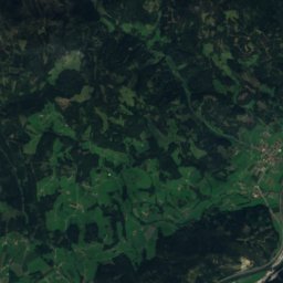
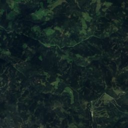
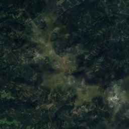
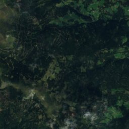
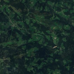
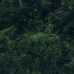
Untere KrenhofhöhleCave12 kmSUntere Krenhofhöhle
Satellite: Sentinel-2 cloudless 2016 by EOX IT Services GmbH · CC BY 4.0 · Contains modified Copernicus Sentinel data 2016
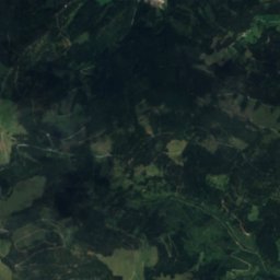
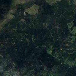
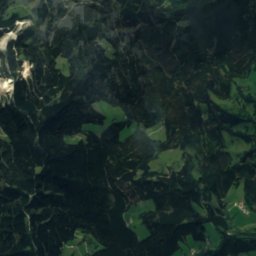
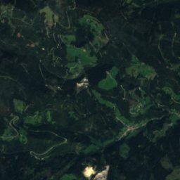
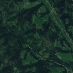
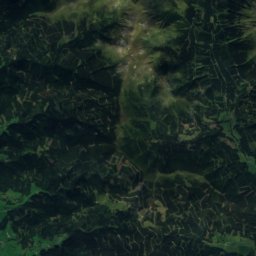
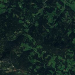
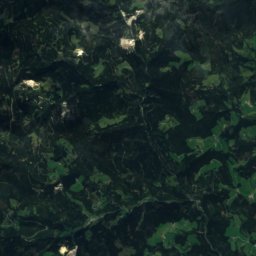
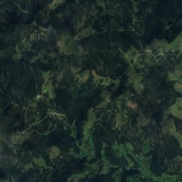
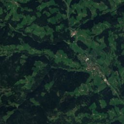
Taubenloch, StyriaCave13 kmSTaubenloch, Styria
Photo: Liuthalas · CC BY-SA 4.0 · Wikimedia CommonsReport this photo · linked, not stored
LiebochbachRiver14 kmSELiebochbach
Photo: Eweht · CC0 · Wikimedia CommonsReport this photo · linked, not stored
Liesing, StyriaRiver14 kmNLiesing, Styria
Summits nearbyMountains of Austria
Photo: WA-Wien · CC BY-SA 3.0 · Wikimedia CommonsReport this photo · linked, not stored
Ameringkogel23 km SW2,187 mJuly 13°Ameringkogel
Photo: Robert Guschelbauer · CC BY-SA 3.0 · Wikimedia CommonsReport this photo · linked, not stored
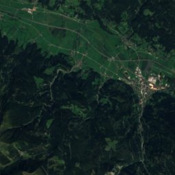
Größenberg, Styria23 km SW2,152 mJuly 13°Größenberg, Styria
Satellite: Sentinel-2 cloudless 2016 by EOX IT Services GmbH · CC BY 4.0 · Contains modified Copernicus Sentinel data 2016
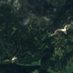
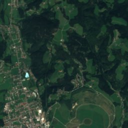
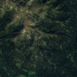
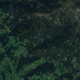
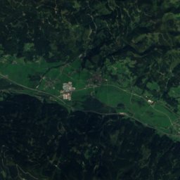
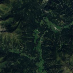
Lamprechthöhe24 km NW2,114 mJuly 14°Lamprechthöhe
Satellite: Sentinel-2 cloudless 2016 by EOX IT Services GmbH · CC BY 4.0 · Contains modified Copernicus Sentinel data 2016
Speikkogel, Reisstraße23 km SW1,993 mJuly 15°Speikkogel, Reisstraße
Photo: Liuthalas · CC BY-SA 4.0 · Wikimedia CommonsReport this photo · linked, not stored
Lenzmoarkogel2.9 km N1,991 mJuly 14°Lenzmoarkogel
Photo: Liuthalas · CC BY-SA 4.0 · Wikimedia CommonsReport this photo · linked, not stored
Speikkogel, Gallmannsegg2.3 km N1,988 mJuly 15°Speikkogel, Gallmannsegg
Stay nearby

Towns close by

Gallmannsegg
Photo: Liuthalas · CC BY-SA 4.0 · Wikimedia CommonsReport this photo · linked, not stored

Gallmannsegg

Styria · 3.0 km SE
12°Oct high
12wet days
32score
Gallmannsegg
Kainach bei Voitsberg
Photo: Christian Pirkl · CC BY-SA 4.0 · Wikimedia CommonsReport this photo · linked, not stored

Kainach bei Voitsberg

Styria · 8.6 km SE
15°Oct high
12wet days
49score
Kainach bei Voitsberg
Sankt Lorenzen bei Knittelfeld
Photo: David Bauer · CC BY-SA 3.0 · Wikimedia CommonsReport this photo · linked, not stored

Sankt Lorenzen bei Knittelfeld

Styria · 12 km NW
15°Oct high
12wet days
49score
Sankt Lorenzen bei Knittelfeld
Sankt Stefan ob Leoben
Photo: Herzi Pinki · CC BY-SA 4.0 · Wikimedia CommonsReport this photo · linked, not stored

Sankt Stefan ob Leoben

Styria · 13 km NW
15°Oct high
12wet days
49score
Sankt Stefan ob Leoben
Around here

Gallmannsegg and around

Gallmannsegg
Photo: Liuthalas · CC BY-SA 4.0 · Wikimedia CommonsReport this photo · linked, not stored

Gallmannsegg

Styria · Austria
Jun–Augbest months
22°July high
1,117 maltitude
Gallmannsegg

Nature

Liebochbach
Photo: Liuthalas · CC BY-SA 4.0 · Wikimedia CommonsReport this photo · linked, not stored
12 km E

Liebochbach

River
Liebochbach
Gleinalmschutzhaus
Photo: Liuthalas · CC BY-SA 4.0 · Wikimedia CommonsReport this photo · linked, not stored
3.8 km N

Gleinalmschutzhaus

Mountain hut
Gleinalmschutzhaus
Ochsenloch
Photo: Man77 · CC BY-SA 4.0 · Wikimedia CommonsReport this photo · linked, not stored
12 km S

Ochsenloch

Cave
Ochsenloch

Mountains

Satellite: Sentinel-2 cloudless 2016 by EOX IT Services GmbH · CC BY 4.0 · Contains modified Copernicus Sentinel data 2016
39 km NW

Geierhaupt

2,417 m · Seckau Tauern
Geierhaupt
Hochreichhart
Photo: Wlan4u · CC BY-SA 2.0 de · Wikimedia CommonsReport this photo · linked, not stored
35 km NW

Hochreichhart

2,416 m · Seckau Tauern
Hochreichhart
Seckauer Zinken
Photo: WA-Wien · CC BY-SA 3.0 · Wikimedia CommonsReport this photo · linked, not stored
30 km NW

Seckauer Zinken

2,397 m · Seckau Tauern
Seckauer Zinken

Heritage

Ruine Hauenstein
Photo: Pikeroi 1961 (talk) · CC BY-SA 3.0 at · Wikimedia CommonsReport this photo · linked, not stored
1.0 km NE

Ruine Hauenstein

Listed objects in Austria
Ruine Hauenstein
St. Barbarakirche
Photo: Thomas Ledl · CC BY 4.0 · Wikimedia CommonsReport this photo · linked, not stored
13 km S

St. Barbarakirche

Listed objects in Austria · 1950
St. Barbarakirche
Kath. Pfarrkirche hl. Georg und ehem. Friedhof
Photo: Liuthalas · CC BY 4.0 · Wikimedia CommonsReport this photo · linked, not stored
5.1 km S

Kath. Pfarrkirche hl. Georg und ehem. Friedhof

Listed objects in Austria
Kath. Pfarrkirche hl. Georg und ehem. Friedhof

Museums

Museum Waldglas Salla
Photo: Naturpuur · CC BY-SA 4.0 · Wikimedia CommonsReport this photo · linked, not stored
11 km SW

Museum Waldglas Salla

Local museum · 1991
Museum Waldglas Salla
Glasmuseum Bärnbach
Photo: Nxr-at · CC BY-SA 4.0 · Wikimedia CommonsReport this photo · linked, not stored
13 km S

Glasmuseum Bärnbach

Glasmuseum Bärnbach
Schloss- und Ortsmuseum Maria Lankowitz
Photo: Liuthalas · CC BY-SA 4.0 · Wikimedia CommonsReport this photo · linked, not stored
13 km S

Schloss- und Ortsmuseum Maria Lankowitz

Schloss- und Ortsmuseum Maria Lankowitz