Skip to content
Destinations
Weather & climate
Nature
Outdoors
Culture
Events
Sky & live
Jochenstein
Photo: Aconcagua · CC BY-SA 3.0 · Wikimedia Commons
JochensteinReport this photo · linked, not stored
Großer Kösslbach
Photo: Samiclaus · CC BY-SA 4.0 · Wikimedia Commons
Großer KösslbachReport this photo · linked, not stored
Großer Kösslbach
Rannastausee
Photo: Mg100 · CC BY-SA 3.0 · Wikimedia Commons
RannastauseeReport this photo · linked, not stored
Rannastausee
Ranna
Photo: Aconcagua · CC BY-SA 3.0 · Wikimedia Commons
RannaReport this photo · linked, not stored
Ranna
Pfudabach
Photo: Samiclaus · CC BY-SA 4.0 · Wikimedia Commons
PfudabachReport this photo · linked, not stored
Pfudabach
IslandEngelhartszell, Upper Austria

Jochenstein

IslandBest May · Aug–Sep
Elevation–above sea level
Area0.0 km²surface
Nearest townEngelhartszell1.7 km
48.52° N, 13.72° EUTC+1 · Central European Standard Time
When to goEngelhartszell · weather score
JanFebMarAprMayJunJulAugSepOctNovDec46October
Best timeMay · Aug–Sep
October: high / low14° / 6°
Island

Jochenstein in brief

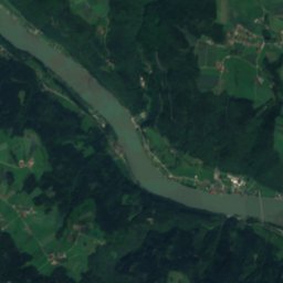
Jochenstein is an island in Engelhartszell, Upper Austria, Austria — rock island in the Danube in Germany.

It covers about 0.0 km².

The nearest town is Engelhartszell, 1.7 km to the SE, where the weather is best in May, August and September.

Engelhartszell: weather and travel guide

Weather nearby now

Forecast for Engelhartszell
4°
Rain now
Wind7 km/h
Humidity80%
Cloud cover100%
Today
25 Oct
9°
2°
16 mm
Mon
26 Oct
10°
4°
1 mm
Tue
27 Oct
13°
3°
Wed
28 Oct
11°
5°
Thu
29 Oct
11°
3°

Model run 12:00 UTCRefreshed several times a day

When to go

The best months around Jochenstein

Climate of Engelhartszell

Month score in Engelhartszell

Comfort, dry days and sunshine · out of 100
18
Jan
26
Feb
23
Mar
61
Apr
64
May
64
Jun
63
Jul
65
Aug
70
Sep
46
Oct
23
Nov
19
Dec
Map

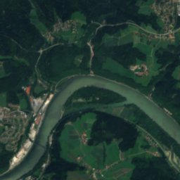
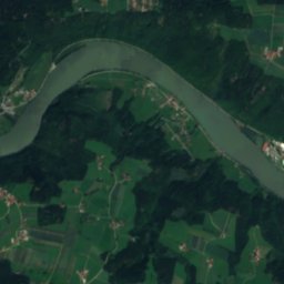
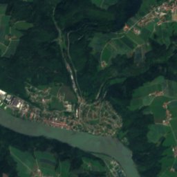
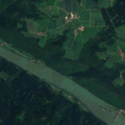
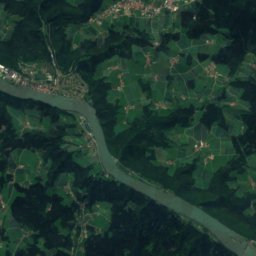
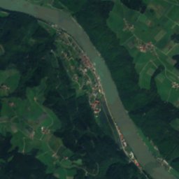
Jochenstein from above

Nature nearbyAll of Austria
Photo: Samiclaus · CC BY-SA 4.0 · Wikimedia CommonsReport this photo · linked, not stored
Großer KösslbachRiver4.6 kmSWGroßer Kösslbach
Photo: Mg100 · CC BY-SA 3.0 · Wikimedia CommonsReport this photo · linked, not stored
RannastauseeLake4.7 kmNERannastausee
Photo: Aconcagua · CC BY-SA 3.0 · Wikimedia CommonsReport this photo · linked, not stored
RannaRiver6.5 kmSERanna
Photo: Aconcagua · CC BY-SA 3.0 · Wikimedia CommonsReport this photo · linked, not stored
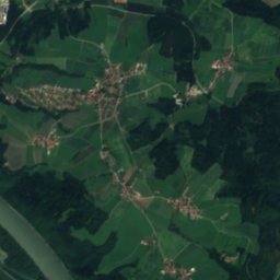
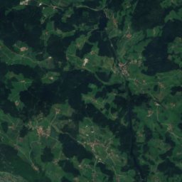
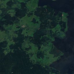
RannaseeLake6.7 kmNERannasee
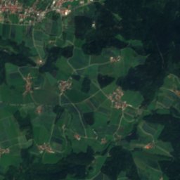
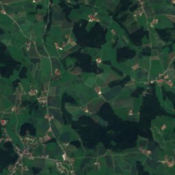
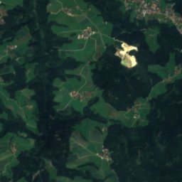
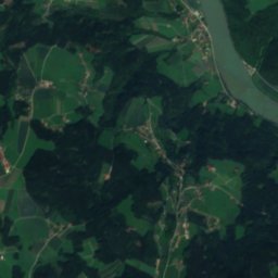
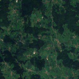
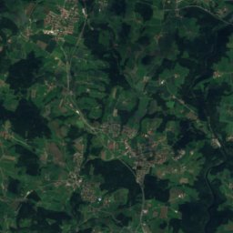
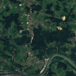
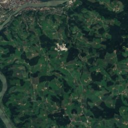
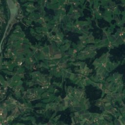
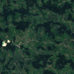
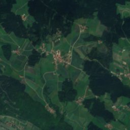
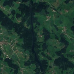
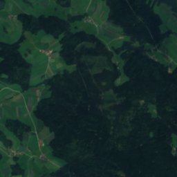
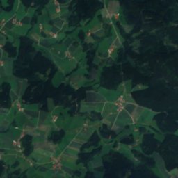
Satellite: Sentinel-2 cloudless 2016 by EOX IT Services GmbH · CC BY 4.0 · Contains modified Copernicus Sentinel data 2016
Grotte Krankenhausstraße 16 in ObernzellCave7.1 kmNWGrotte Krankenhausstraße 16 in Obernzell
Photo: Samiclaus · CC BY-SA 4.0 · Wikimedia CommonsReport this photo · linked, not stored
PfudabachRiver7.1 kmSWPfudabach
Summits nearbyMountains of Austria
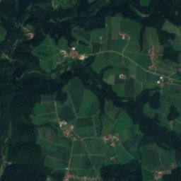
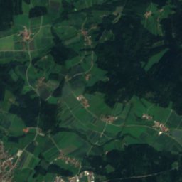
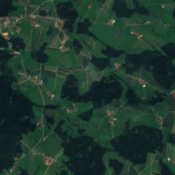
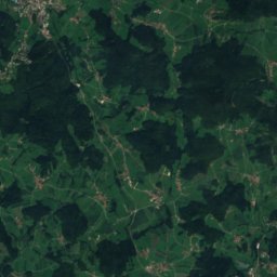
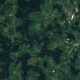
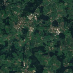
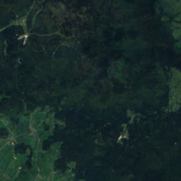
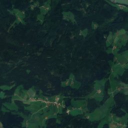
Satellite: Sentinel-2 cloudless 2016 by EOX IT Services GmbH · CC BY 4.0 · Contains modified Copernicus Sentinel data 2016
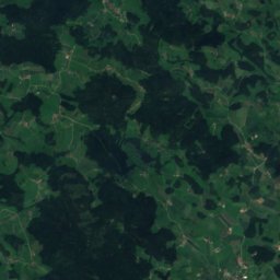
Oberfrauenwald19 km N948 mJuly 21°Oberfrauenwald
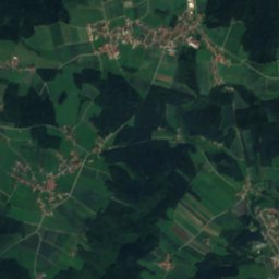
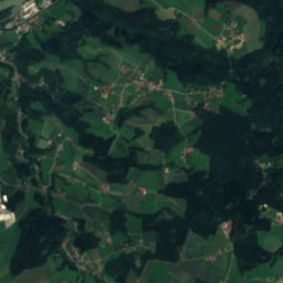
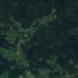
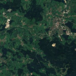
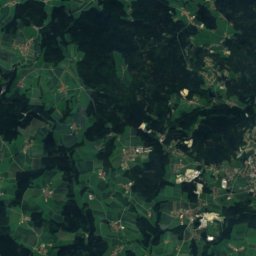
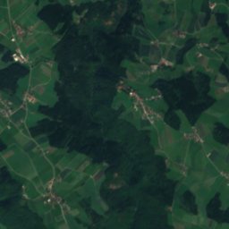
Satellite: Sentinel-2 cloudless 2016 by EOX IT Services GmbH · CC BY 4.0 · Contains modified Copernicus Sentinel data 2016
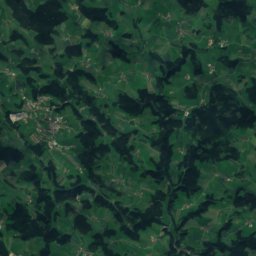
Ameisberg, Upper Austria9.7 km NE941 mJuly 22°Ameisberg, Upper Austria
Photo: Konrad Lackerbeck · CC BY 3.0 · Wikimedia CommonsReport this photo · linked, not stored
Friedrichsberg17 km N930 mJuly 22°Friedrichsberg
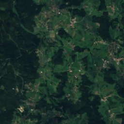
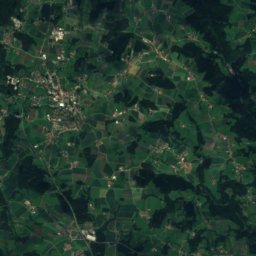
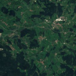
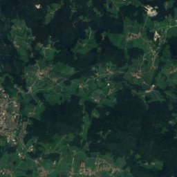
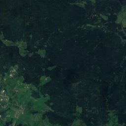
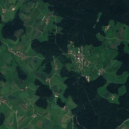
Satellite: Sentinel-2 cloudless 2016 by EOX IT Services GmbH · CC BY 4.0 · Contains modified Copernicus Sentinel data 2016
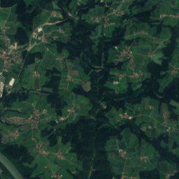
Haugstein3.4 km W895 mJuly 22°Haugstein
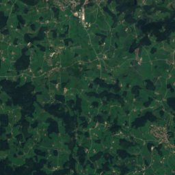
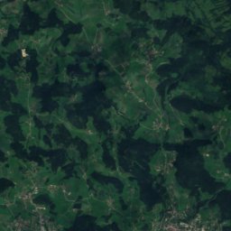
Satellite: Sentinel-2 cloudless 2016 by EOX IT Services GmbH · CC BY 4.0 · Contains modified Copernicus Sentinel data 2016
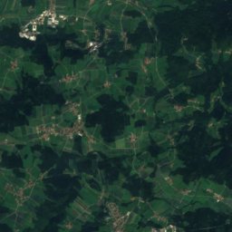
Hochbühel21 km NE877 mJuly 22°Hochbühel
Photo: Loisei 1 · CC BY-SA 4.0 · Wikimedia CommonsReport this photo · linked, not stored
Ruhmannsberg15 km N862 mJuly 22°Ruhmannsberg
Stay nearby

Towns close by

Engelhartszell
Photo: Aconcagua (talk) · CC BY-SA 3.0 · Wikimedia CommonsReport this photo · linked, not stored

Engelhartszell

Upper Austria · 1.7 km SE
14°Oct high
11wet days
46score
Engelhartszell
Neustift im Mühlkreis
Photo: Wolfgang Sauber · CC BY-SA 3.0 · Wikimedia CommonsReport this photo · linked, not stored

Neustift im Mühlkreis

Upper Austria · 3.3 km NE
13°Oct high
9wet days
46score
Neustift im Mühlkreis
Sankt Aegidi
Photo: Erika Stadler · CC BY-SA 3.0 at · Wikimedia CommonsReport this photo · linked, not stored

Sankt Aegidi

Upper Austria · 4.4 km S
13°Oct high
12wet days
41score
Sankt Aegidi
Vichtenstein
Photo: High Contrast · CC BY 3.0 de · Wikimedia CommonsReport this photo · linked, not stored

Vichtenstein

Upper Austria · 5.1 km W
13°Oct high
11wet days
42score
Vichtenstein
Around here

Engelhartszell and around

Engelhartszell
Photo: Aconcagua (talk) · CC BY-SA 3.0 · Wikimedia CommonsReport this photo · linked, not stored

Engelhartszell

Upper Austria · Austria
May · Aug–Sepbest months
26°July high
289 maltitude
Engelhartszell

Nature

Rannasee
Photo: Aconcagua · CC BY-SA 3.0 · Wikimedia CommonsReport this photo · linked, not stored
7.3 km N

Rannasee

Lake · 513 m
Rannasee
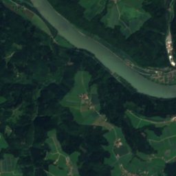
Satellite: Sentinel-2 cloudless 2016 by EOX IT Services GmbH · CC BY 4.0 · Contains modified Copernicus Sentinel data 2016
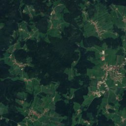
4.8 km SE

Ranna

River
Ranna
Großer Kösslbach
Photo: Samiclaus · CC BY-SA 4.0 · Wikimedia CommonsReport this photo · linked, not stored
4.8 km SW

Großer Kösslbach

River
Großer Kösslbach

Mountains

Plechý / Plöckenstein
Photo: Svíčková · CC BY 3.0 · Wikimedia CommonsReport this photo · linked, not stored
31 km N

Plechý / Plöckenstein

1,379 m · Bohemian Forest
Plechý / Plöckenstein
Bayerischer Plöckenstein
Photo: High Contrast · CC BY 3.0 de · Wikimedia CommonsReport this photo · linked, not stored
30 km N

Bayerischer Plöckenstein

1,362 m · Bavarian Forest
Bayerischer Plöckenstein
Vysoký hřeben Nová Pec
Photo: Aconcagua (talk) · CC BY-SA 3.0 · Wikimedia CommonsReport this photo · linked, not stored
30 km N

Vysoký hřeben Nová Pec

1,344 m · Bohemian Forest
Vysoký hřeben Nová Pec

Heritage

Engelszell Abbey
Photo: Carsten Steger · CC BY-SA 4.0 · Wikimedia CommonsReport this photo · linked, not stored
0.8 km S

Engelszell Abbey

Listed objects in Austria · 1925
Engelszell Abbey
Jochenstein power station
Photo: DD Photografie · CC BY-SA 3.0 · Wikimedia CommonsReport this photo · linked, not stored
2.3 km NW

Jochenstein power station

Listed objects in Austria · 1956
Jochenstein power station
Pfarrkirche Mariä Himmelfahrt, Engelhartszell
Photo: Haeferl · CC BY-SA 3.0 at · Wikimedia CommonsReport this photo · linked, not stored
under 100 m S

Pfarrkirche Mariä Himmelfahrt, Engelhartszell

Listed objects in Austria
Pfarrkirche Mariä Himmelfahrt, Engelhartszell

Museums

Schütz Art Museum
Photo: Free to use with credit to the photographer: Mosbatho · CC BY 4.0 · Wikimedia CommonsReport this photo · linked, not stored
0.3 km N

Schütz Art Museum

Art museum
Schütz Art Museum
Graphit-Besucherbergwerk Kropfmühl
Photo: Konrad Lackerbeck · CC BY 3.0 · Wikimedia CommonsReport this photo · linked, not stored
14 km NW

Graphit-Besucherbergwerk Kropfmühl

Show mine
Graphit-Besucherbergwerk Kropfmühl
Gemeindeamt Lembach
Photo: Michael Kranewitter · CC BY-SA 3.0 · Wikimedia CommonsReport this photo · linked, not stored
12 km E

Gemeindeamt Lembach

Gemeindeamt Lembach