
Photo: Ewald Gabardi · CC BY-SA 3.0 · Wikimedia Commons
HofmannshütteReport this photo · linked, not stored
HofmannshütteReport this photo · linked, not stored

Photo: Otberg · Public domain · Wikimedia Commons
Pasterze GlacierReport this photo · linked, not stored
Pasterze GlacierPasterze GlacierReport this photo · linked, not stored

Photo: Aat van den Heuvel · CC BY 3.0 · Wikimedia Commons
Fuscher-Kar-KeesReport this photo · linked, not stored
Fuscher-Kar-KeesFuscher-Kar-KeesReport this photo · linked, not stored

Photo: Ewald Gabardi · CC BY-SA 3.0 · Wikimedia Commons
SanderseeReport this photo · linked, not stored
SanderseeSanderseeReport this photo · linked, not stored

Photo: Ewald Gabardi · CC BY-SA 3.0 · Wikimedia Commons
KellersbergkeesReport this photo · linked, not stored
KellersbergkeesKellersbergkeesReport this photo · linked, not stored
Mountain hutHeiligenblut, Carinthia
Hofmannshütte
Mountain hut2,444 m elevationBest Jun–Aug
Elevation2,444 mabove sea level
Area–surface
Nearest townHeiligenblut9.5 km
47.09° N, 12.74° EElevation 2,444 mUTC+2 · Central European Summer Time
When to goHeiligenblut · weather score
Best timeJun–Aug
October: high / low12° / 3°
Mountain hut
Hofmannshütte in brief
Hofmannshütte is a mountain hut in Heiligenblut, Carinthia, Austria.
It lies at 2,444 m above sea level.
The nearest town in the atlas is Heiligenblut, 9.5 km to the SE, where the weather is best in June, July and August.
Weather nearby now
Forecast for Heiligenblut4°
Sunny now
Today
22 Oct
6°
-1°
6 mm
Fri
23 Oct
7°
0°
1 mm
Sat
24 Oct
5°
-2°
4 mm
Sun
25 Oct
9°
-2°
2 mm
Mon
26 Oct
10°
5°
Model run 00:00 UTCRefreshed several times a day
When to go
Climate of HeiligenblutThe best months around Hofmannshütte
Month score in Heiligenblut
Comfort, dry days and sunshine · out of 10022
Jan
23
Feb
20
Mar
24
Apr
48
May
62
Jun
64
Jul
63
Aug
52
Sep
31
Oct
23
Nov
20
Dec
Map
Hofmannshütte from above
Nature nearbyAll of Austria

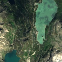
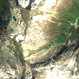
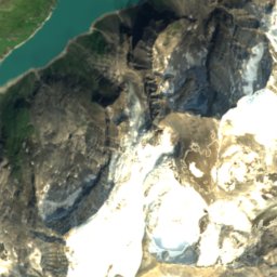
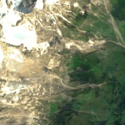
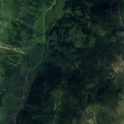
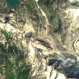
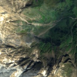
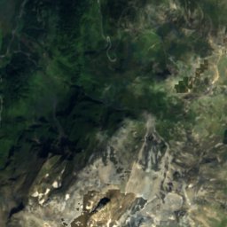
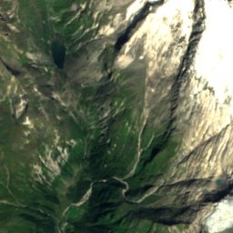
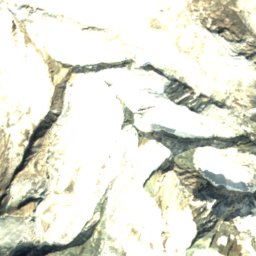
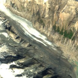
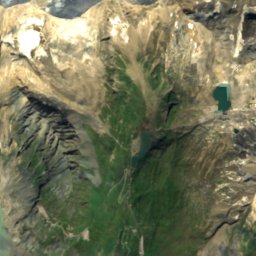
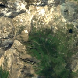
Satellite: Sentinel-2 cloudless 2016 by EOX IT Services GmbH · CC BY 4.0 · Contains modified Copernicus Sentinel data 2016


Satellite: Sentinel-2 cloudless 2016 by EOX IT Services GmbH · CC BY 4.0 · Contains modified Copernicus Sentinel data 2016
Summits nearbyMountains of Austria


Photo: Eintragung ins Nichts · CC BY-SA 3.0 · Wikimedia CommonsReport this photo · linked, not stored
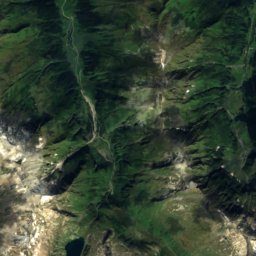
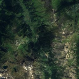
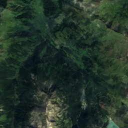
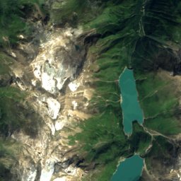
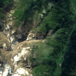
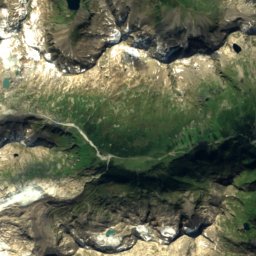
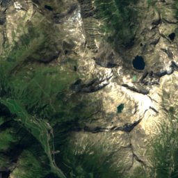
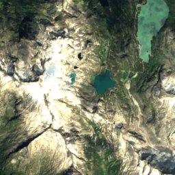
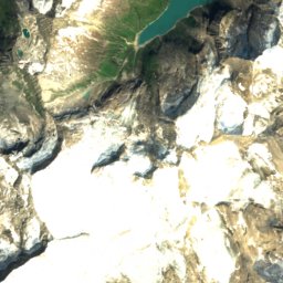
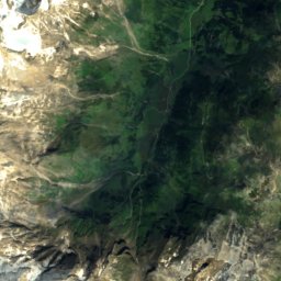
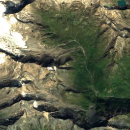
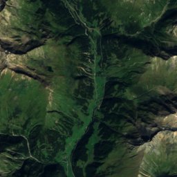
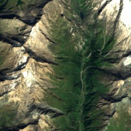
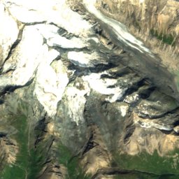
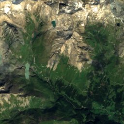
Satellite: Sentinel-2 cloudless 2016 by EOX IT Services GmbH · CC BY 4.0 · Contains modified Copernicus Sentinel data 2016
Satellite: Sentinel-2 cloudless 2016 by EOX IT Services GmbH · CC BY 4.0 · Contains modified Copernicus Sentinel data 2016

Satellite: Sentinel-2 cloudless 2016 by EOX IT Services GmbH · CC BY 4.0 · Contains modified Copernicus Sentinel data 2016
Stay nearby
Towns close by


Fusch an der Glocknerstraße
Salzburg · 17 km NE
14°Oct high
13wet days
43score

Around here
Heiligenblut and around
Nature


Mountains


Photo: Eintragung ins Nichts · CC BY-SA 3.0 · Wikimedia CommonsReport this photo · linked, not stored
Kleinglockner
3,770 m · Glockner Group
Satellite: Sentinel-2 cloudless 2016 by EOX IT Services GmbH · CC BY 4.0 · Contains modified Copernicus Sentinel data 2016
Pöschlturm
3,722 m
Heritage


Grossglockner High Alpine Road
Tentative World Heritage Site · 1935


