Skip to content
Destinations
Weather & climate
Nature
Outdoors
Culture
Events
Sky & live
Gowilalm
Photo: Simon Legner (User:simon04) · CC BY-SA 4.0 · Wikimedia Commons
GowilalmReport this photo · linked, not stored
Hofalmhütte
Photo: Isiwal/Wikimedia Commons/CC BY-SA 4.0 · CC BY-SA 4.0 · Wikimedia Commons
HofalmhütteReport this photo · linked, not stored
Hofalmhütte
Rohrauerhaus
Photo: Isiwal/Wikimedia Commons/CC BY-SA 4.0 · CC BY-SA 4.0 · Wikimedia Commons
RohrauerhausReport this photo · linked, not stored
Rohrauerhaus
Bosruckhütte
Photo: C.Stadler/Bwag · CC BY-SA 4.0 · Wikimedia Commons
BosruckhütteReport this photo · linked, not stored
Bosruckhütte
Wildfrauenhöhle
Photo: H. Raab (User:Vesta) · CC BY-SA 4.0 · Wikimedia Commons
WildfrauenhöhleReport this photo · linked, not stored
Wildfrauenhöhle
Mountain hutSpital am Pyhrn, Upper Austria

Gowilalm

Mountain hutBest Jul–Sep
Elevation–above sea level
Area–surface
Nearest townSpital am Pyhrn3.9 km
47.67° N, 14.39° EUTC+2 · Central European Summer Time
When to goSpital am Pyhrn · weather score
JanFebMarAprMayJunJulAugSepOctNovDec48October
Best timeJul–Sep
October: high / low14° / 4°
Mountain hut

Gowilalm in brief

Gowilalm is a mountain hut in Spital am Pyhrn, Upper Austria, Austria.

The nearest town in the atlas is Spital am Pyhrn, 3.9 km to the W, where the weather is best in July, August and September.

Spital am Pyhrn: weather and travel guide

Weather nearby now

Forecast for Spital am Pyhrn
9°
Partly cloudy now
Wind7 km/h
Humidity57%
Cloud cover56%
Today
22 Oct
10°
3°
5 mm
Fri
23 Oct
14°
1°
Sat
24 Oct
8°
0°
5 mm
Sun
25 Oct
9°
0°
8 mm
Mon
26 Oct
12°
6°

Model run 00:00 UTCRefreshed several times a day

When to go

The best months around Gowilalm

Climate of Spital am Pyhrn

Month score in Spital am Pyhrn

Comfort, dry days and sunshine · out of 100
21
Jan
25
Feb
19
Mar
51
Apr
63
May
63
Jun
65
Jul
65
Aug
65
Sep
48
Oct
25
Nov
20
Dec
Map

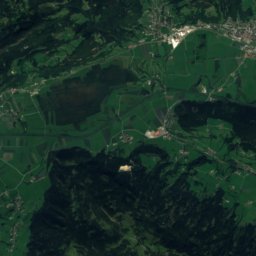
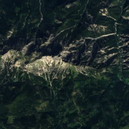
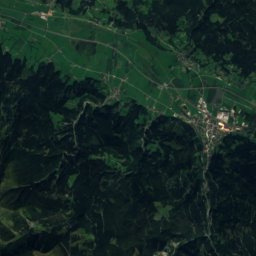
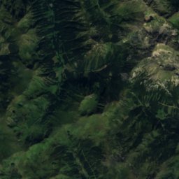
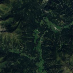
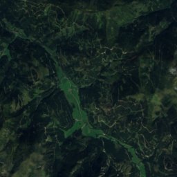
Gowilalm from above

Nature nearbyAll of Austria
Photo: Isiwal/Wikimedia Commons/CC BY-SA 4.0 · CC BY-SA 4.0 · Wikimedia CommonsReport this photo · linked, not stored
HofalmhütteMountain hut2.7 kmSWHofalmhütte
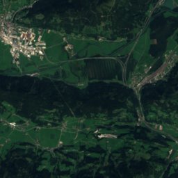
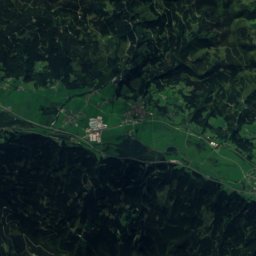
Satellite: Sentinel-2 cloudless 2016 by EOX IT Services GmbH · CC BY 4.0 · Contains modified Copernicus Sentinel data 2016
Lettengraben, Upper AustriaRiver3.2 kmNLettengraben, Upper Austria
Photo: Isiwal/Wikimedia Commons/CC BY-SA 4.0 · CC BY-SA 4.0 · Wikimedia CommonsReport this photo · linked, not stored
RohrauerhausMountain hut3.6 kmSRohrauerhaus
Photo: C.Stadler/Bwag · CC BY-SA 4.0 · Wikimedia CommonsReport this photo · linked, not stored
BosruckhütteMountain hut3.9 kmSWBosruckhütte
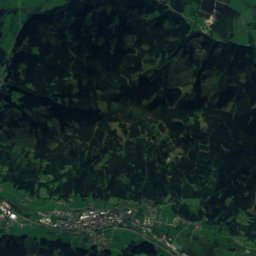
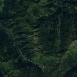
Satellite: Sentinel-2 cloudless 2016 by EOX IT Services GmbH · CC BY 4.0 · Contains modified Copernicus Sentinel data 2016
GüssangergrabenRiver4.1 kmNEGüssangergraben
Photo: H. Raab (User:Vesta) · CC BY-SA 4.0 · Wikimedia CommonsReport this photo · linked, not stored
WildfrauenhöhleCave5.7 kmSWWildfrauenhöhle
Summits nearbyMountains of Austria
Photo: I, Ondřej Žváček · CC BY 2.5 · Wikimedia CommonsReport this photo · linked, not stored
Spitzmauer25 km W2,446 mJuly 12°Spitzmauer
Photo: Isiwal/Wikimedia Commons/CC BY-SA 4.0 · CC BY-SA 4.0 · Wikimedia CommonsReport this photo · linked, not stored
Warscheneck11 km W2,388 mJuly 11°Warscheneck
Photo: Herzi Pinki · CC BY-SA 3.0 · Wikimedia CommonsReport this photo · linked, not stored
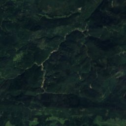
Dreistecken24 km S2,382 mJuly 12°Dreistecken
Photo: Thomas Steiner · CC BY-SA 3.0 · Wikimedia CommonsReport this photo · linked, not stored
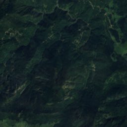
Hochtor22 km SE2,369 mJuly 13°Hochtor
Photo: Herzi Pinki · CC BY-SA 3.0 · Wikimedia CommonsReport this photo · linked, not stored
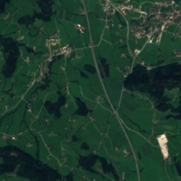
Hochheide22 km S2,363 mJuly 12°Hochheide
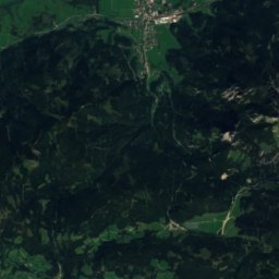
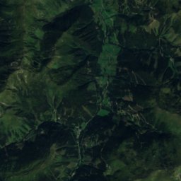
Satellite: Sentinel-2 cloudless 2016 by EOX IT Services GmbH · CC BY 4.0 · Contains modified Copernicus Sentinel data 2016
Sonntagskarspitze25 km S2,350 mJuly 12°Sonntagskarspitze
Stay nearby

Towns close by

Spital am Pyhrn
Photo: C.Stadler/Bwag · CC BY-SA 4.0 · Wikimedia CommonsReport this photo · linked, not stored
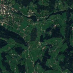
Spital am Pyhrn

Upper Austria · 3.9 km W
14°Oct high
12wet days
48score
Spital am Pyhrn
Rosenau am Hengstpaß
Photo: Herzi Pinki · CC BY-SA 3.0 · Wikimedia CommonsReport this photo · linked, not stored
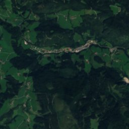
Rosenau am Hengstpaß

Upper Austria · 4.8 km N
14°Oct high
11wet days
46score
Rosenau am Hengstpaß
Edlbach
Photo: Herzi Pinki · CC BY-SA 3.0 · Wikimedia CommonsReport this photo · linked, not stored
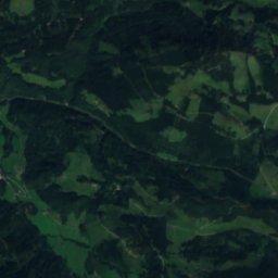
Edlbach

Upper Austria · 6.2 km NW
14°Oct high
12wet days
49score
Edlbach
Windischgarsten
Photo: Herzi Pinki · CC BY-SA 3.0 · Wikimedia CommonsReport this photo · linked, not stored
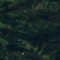
Windischgarsten

Upper Austria · 7.6 km NW
14°Oct high
12wet days
50score
Windischgarsten
Around here

Spital am Pyhrn and around

Spital am Pyhrn
Photo: C.Stadler/Bwag · CC BY-SA 4.0 · Wikimedia CommonsReport this photo · linked, not stored
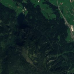
Spital am Pyhrn

Upper Austria · Austria
Jul–Sepbest months
24°July high
644 maltitude
Spital am Pyhrn

Nature

Gleinkersee
Photo: Tigerente · CC BY-SA 4.0 · Wikimedia CommonsReport this photo · linked, not stored
4.3 km NW

Gleinkersee

Lake · 804 m
Gleinkersee
Brunnsteiner See
Photo: Tigerente · CC BY 4.0 · Wikimedia CommonsReport this photo · linked, not stored
5.7 km W

Brunnsteiner See

Lake · 1,422 m
Brunnsteiner See
Pießling
Photo: Walter Isack (isiwal) · CC BY-SA 3.0 at · Wikimedia CommonsReport this photo · linked, not stored
9.8 km NW

Pießling

River
Pießling

Mountains

Großer Priel
Photo: Isiwal · CC BY-SA 4.0 · Wikimedia CommonsReport this photo · linked, not stored
22 km W

Großer Priel

2,515 m · Prielgruppe
Großer Priel
Großer Bösenstein
Photo: Herzi Pinki · CC BY-SA 3.0 · Wikimedia CommonsReport this photo · linked, not stored
25 km S

Großer Bösenstein

2,448 m · Rottenmann and Wölz Tauern
Großer Bösenstein
Spitzmauer
Photo: I, Ondřej Žváček · CC BY 2.5 · Wikimedia CommonsReport this photo · linked, not stored
21 km W

Spitzmauer

2,446 m · Prielgruppe
Spitzmauer

Heritage

Dr.-Vogelgesang-Klamm
Photo: DD Photografie · CC BY-SA 3.0 · Wikimedia CommonsReport this photo · linked, not stored
2.5 km SE

Dr.-Vogelgesang-Klamm

natural monument in Upper Austria
Dr.-Vogelgesang-Klamm
Kollegiatstift Spital am Pyhrn
Photo: Isiwal (talk) · CC BY-SA 3.0 at · Wikimedia CommonsReport this photo · linked, not stored
0.1 km SW

Kollegiatstift Spital am Pyhrn

Listed objects in Austria
Kollegiatstift Spital am Pyhrn
Admont Abbey
Photo: C.Stadler/Bwag · CC BY-SA 4.0 · Wikimedia CommonsReport this photo · linked, not stored
14 km SE

Admont Abbey

Listed objects in Austria · 1074
Admont Abbey

Museums

Heimatmuseum Windischgarsten
Photo: Herzi Pinki · CC BY-SA 3.0 · Wikimedia CommonsReport this photo · linked, not stored
6.2 km N

Heimatmuseum Windischgarsten

Local museum · 1876
Heimatmuseum Windischgarsten
Satellite: Sentinel-2 cloudless 2016 by EOX IT Services GmbH · CC BY 4.0 · Contains modified Copernicus Sentinel data 2016
15 km W

Alpineum

Alpineum