Skip to content
Destinations
Weather & climate
Nature
Outdoors
Culture
Events
Sky & live
Gampfall
Photo: Asurnipal · CC BY-SA 4.0 · Wikimedia Commons
GampfallReport this photo · linked, not stored
Lutz
Photo: Tobias1984 · CC BY-SA 3.0 · Wikimedia Commons
LutzReport this photo · linked, not stored
Lutz
Bergheim Zimba
Photo: "Foto: Sammlung Risch-Lau, Vorarlberger Landesbibliothek" "Photo: Risch-Lau Coll · CC BY-SA 4.0 · Wikimedia Commons
Bergheim ZimbaReport this photo · linked, not stored
Bergheim Zimba
Fallersee
Photo: Asurnipal · CC BY-SA 4.0 · Wikimedia Commons
FallerseeReport this photo · linked, not stored
Fallersee
Montjola-Wasserfall
Photo: Asurnipal · CC BY-SA 4.0 · Wikimedia Commons
Montjola-WasserfallReport this photo · linked, not stored
Montjola-Wasserfall
WaterfallNenzing, Vorarlberg

Gampfall

WaterfallBest Jun–Aug
Elevation–above sea level
Height–of the falls
Nearest townNenzing3.3 km
47.16° N, 9.68° EUTC+2 · Central European Summer Time
When to goNenzing · weather score
JanFebMarAprMayJunJulAugSepOctNovDec54October
Best timeJun–Aug
October: high / low16° / 6°
Waterfall

Gampfall in brief

Gampfall is a waterfall in Nenzing, Vorarlberg, Austria.

The nearest town in the atlas is Nenzing, 3.3 km to the NE, where the weather is best in June, July and August.

Nenzing: weather and travel guide

Weather nearby now

Forecast for Nenzing
13°
Sunny now
Wind1 km/h
Humidity42%
Cloud cover8%
Today
22 Oct
13°
3°
Fri
23 Oct
15°
3°
4 mm
Sat
24 Oct
9°
3°
1 mm
Sun
25 Oct
11°
5°
15 mm
Mon
26 Oct
14°
6°
1 mm

Model run 00:00 UTCRefreshed several times a day

When to go

The best months around Gampfall

Climate of Nenzing

Month score in Nenzing

Comfort, dry days and sunshine · out of 100
22
Jan
25
Feb
28
Mar
53
Apr
64
May
65
Jun
65
Jul
66
Aug
65
Sep
54
Oct
25
Nov
21
Dec
Map

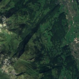
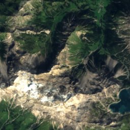
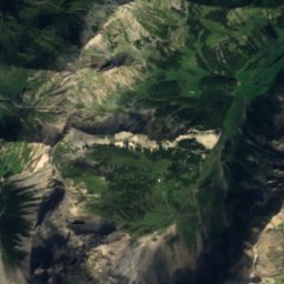
Gampfall from above

Nature nearbyAll of Austria
Photo: Tobias1984 · CC BY-SA 3.0 · Wikimedia CommonsReport this photo · linked, not stored
LutzRiver4.5 kmNELutz
Photo: "Foto: Sammlung Risch-Lau, Vorarlberger Landesbibliothek" "Photo: Risch-Lau Coll · CC BY-SA 4.0 · Wikimedia CommonsReport this photo · linked, not stored
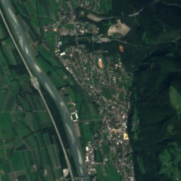
Bergheim ZimbaMountain hut6.3 kmEBergheim Zimba
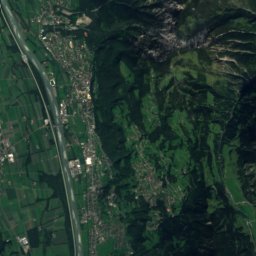
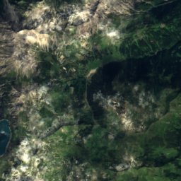
Satellite: Sentinel-2 cloudless 2016 by EOX IT Services GmbH · CC BY 4.0 · Contains modified Copernicus Sentinel data 2016
WildmannschilchliCave7.2 kmSWWildmannschilchli
Photo: Asurnipal · CC BY-SA 4.0 · Wikimedia CommonsReport this photo · linked, not stored
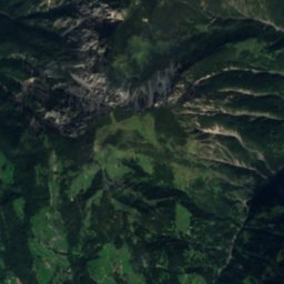
FallerseeLake7.4 kmNEFallersee
Photo: Asurnipal · CC BY-SA 4.0 · Wikimedia CommonsReport this photo · linked, not stored
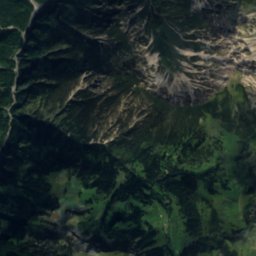
Montjola-WasserfallWaterfall8.1 kmNEMontjola-Wasserfall
Photo: Kai Brühne · CC BY-SA 3.0 · Wikimedia CommonsReport this photo · linked, not stored
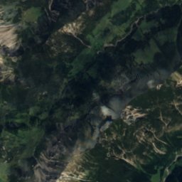
FeldkircherhuetteMountain hut8.4 kmNWFeldkircherhuette
Summits nearbyMountains of Austria
Photo: Jörg Braukmann · CC BY-SA 4.0 · Wikimedia CommonsReport this photo · linked, not stored
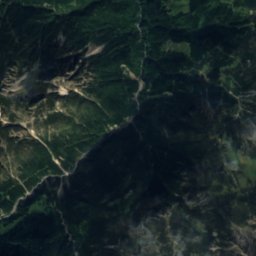
Schesaplana12 km S2,965 mJuly 8°Schesaplana
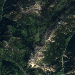
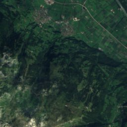
Satellite: Sentinel-2 cloudless 2016 by EOX IT Services GmbH · CC BY 4.0 · Contains modified Copernicus Sentinel data 2016
Panüelerkopf10 km S2,859 mJuly 10°Panüelerkopf
Photo: Svickova · Public domain · Wikimedia CommonsReport this photo · linked, not stored
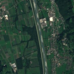
Salaruelkopf11 km S2,841 mJuly 8°Salaruelkopf
Photo: böhringer friedrich · CC BY-SA 2.5 · Wikimedia CommonsReport this photo · linked, not stored
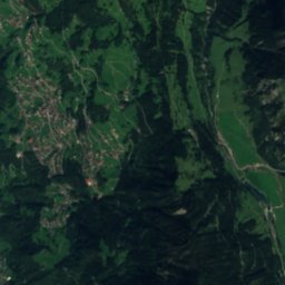
Felsenkopf12 km S2,835 mJuly 8°Felsenkopf
Photo: Giacomo1970 · CC BY-SA 3.0 · Wikimedia CommonsReport this photo · linked, not stored
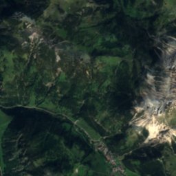
Drei Türme18 km SE2,830 mJuly 11°Drei Türme
Photo: Paebi · CC BY-SA 3.0 · Wikimedia CommonsReport this photo · linked, not stored
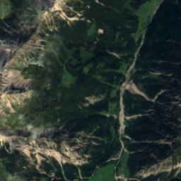
Drusenfluh17 km SE2,827 mJuly 10°Drusenfluh
Stay nearby

Towns close by

Nenzing
Photo: Welleschik · CC BY-SA 3.0 · Wikimedia CommonsReport this photo · linked, not stored
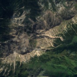
Nenzing

Vorarlberg · 3.3 km NE
16°Oct high
13wet days
54score
Nenzing
Schlins
Photo: böhringer friedrich · CC BY-SA 2.5 · Wikimedia CommonsReport this photo · linked, not stored
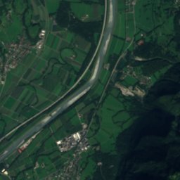
Schlins

Vorarlberg · 4.8 km N
15°Oct high
13wet days
53score
Schlins
Bludesch
Photo: böhringer friedrich · CC BY-SA 2.5 · Wikimedia CommonsReport this photo · linked, not stored
Bludesch

Vorarlberg · 6.0 km NE
15°Oct high
13wet days
50score
Bludesch
Satteins
Photo: böhringer friedrich · CC BY-SA 2.5 · Wikimedia CommonsReport this photo · linked, not stored
Satteins

Vorarlberg · 6.5 km N
15°Oct high
13wet days
53score
Satteins
Around here

Nenzing and around

Nenzing
Photo: Welleschik · CC BY-SA 3.0 · Wikimedia CommonsReport this photo · linked, not stored
Nenzing

Vorarlberg · Austria
Jun–Augbest months
25°July high
527 maltitude
Nenzing

Nature

Lutz
Photo: Tobias1984 · CC BY-SA 3.0 · Wikimedia CommonsReport this photo · linked, not stored
2.3 km E

Lutz

River
Lutz
Gafadurahütte
Photo: Asurnipal · CC BY-SA 4.0 · Wikimedia CommonsReport this photo · linked, not stored
10 km W

Gafadurahütte

Mountain hut · 1,428 m
Gafadurahütte
Schwarzer See, Vorarlberg
Photo: photographed by Michael Schönitzer · CC BY-SA 3.0 · Wikimedia CommonsReport this photo · linked, not stored
6.9 km NW

Schwarzer See, Vorarlberg

Lake · 553 m
Schwarzer See, Vorarlberg

Mountains

Patteriol
Photo: User: Bbb at wikivoyage shared · CC BY-SA 1.0 · Wikimedia CommonsReport this photo · linked, not stored
40 km SE

Patteriol

3,056 m · Verwall Alps
Patteriol
Schesaplana
Photo: Jörg Braukmann · CC BY-SA 4.0 · Wikimedia CommonsReport this photo · linked, not stored
15 km S

Schesaplana

2,965 m · Rätikon
Schesaplana
Pflunspitzen
Photo: 32-Fuß-Freak · CC BY-SA 4.0 · Wikimedia CommonsReport this photo · linked, not stored
34 km E

Pflunspitzen

2,912 m · Verwall Alps
Pflunspitzen

Heritage

Burgruine Ramschwag
Photo: Charly Raser · CC BY-SA 4.0 · Wikimedia CommonsReport this photo · linked, not stored
1.1 km W

Burgruine Ramschwag

Listed objects in Austria · 1270
Burgruine Ramschwag
Burgruine Jagdberg
Photo: böhringer friedrich · CC BY-SA 2.5 · Wikimedia CommonsReport this photo · linked, not stored
2.1 km N

Burgruine Jagdberg

Listed objects in Austria · 1200
Burgruine Jagdberg
Unsere Liebe Frau Unbefleckte Empfängnis, Schlins
Photo: böhringer friedrich · CC BY-SA 2.5 · Wikimedia CommonsReport this photo · linked, not stored
2.4 km N

Unsere Liebe Frau Unbefleckte Empfängnis, Schlins

Listed objects in Austria
Unsere Liebe Frau Unbefleckte Empfängnis, Schlins

Museums

Liechtenstein National Museum
Photo: A.Savin · FAL · Wikimedia CommonsReport this photo · linked, not stored
15 km W

Liechtenstein National Museum

History museum
Liechtenstein National Museum
Postal Museum
Photo: St9191 · CC BY-SA 3.0 · Wikimedia CommonsReport this photo · linked, not stored
15 km W

Postal Museum

1930
Postal Museum
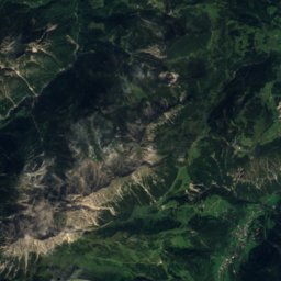
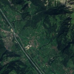
Satellite: Sentinel-2 cloudless 2016 by EOX IT Services GmbH · CC BY 4.0 · Contains modified Copernicus Sentinel data 2016
15 km W

Kunstmuseum Liechtenstein

Art museum · 2000
Kunstmuseum Liechtenstein