
Photo: böhringer friedrich · CC BY-SA 2.5 · Wikimedia Commons
Formarin streamReport this photo · linked, not stored
Formarin streamReport this photo · linked, not stored

Photo: Rob Hodgkins · CC BY-SA 2.0 · Wikimedia Commons
SpullerbachReport this photo · linked, not stored
SpullerbachSpullerbachReport this photo · linked, not stored

Photo: michael303 · Public domain · Wikimedia Commons
Ravensburger HutReport this photo · linked, not stored
Ravensburger HutRavensburger HutReport this photo · linked, not stored

Photo: böhringer friedrich · CC BY-SA 2.5 · Wikimedia Commons
SpullerseeReport this photo · linked, not stored
SpullerseeSpullerseeReport this photo · linked, not stored

Photo: böhringer friedrich · CC BY-SA 2.5 · Wikimedia Commons
Zürser SeeReport this photo · linked, not stored
Zürser SeeZürser SeeReport this photo · linked, not stored
RiverLech, Vorarlberg
Formarin stream
RiverBest Jun–Aug
Elevation–above sea level
Length10 kmsource to mouth
Nearest townLech6.8 km
47.19° N, 10.05° EUTC+2 · Central European Summer Time
When to goLech · weather score
Best timeJun–Aug
October: high / low11° / 2°
River
Formarin stream in brief
Formarin stream is a river in Lech, Vorarlberg, Austria.
The nearest town in the atlas is Lech, 6.8 km to the E, where the weather is best in June, July and August.
Formarin stream is 10 km long.
Weather nearby now
Forecast for Lech4°
Sunny now
Today
22 Oct
4°
-4°
1 mm
Fri
23 Oct
7°
0°
3 mm
Sat
24 Oct
1°
-4°
1 mm
Sun
25 Oct
7°
1°
21 mm
Mon
26 Oct
10°
1°
1 mm
Model run 00:00 UTCRefreshed several times a day
When to go
Climate of LechThe best months around Formarin stream
Month score in Lech
Comfort, dry days and sunshine · out of 10022
Jan
25
Feb
20
Mar
20
Apr
38
May
57
Jun
64
Jul
63
Aug
44
Sep
29
Oct
25
Nov
21
Dec
Map
Formarin stream from above
Nature nearbyAll of Austria

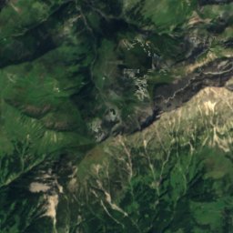
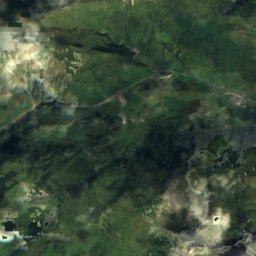
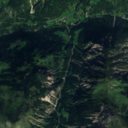
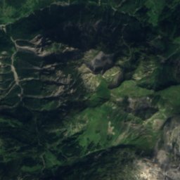
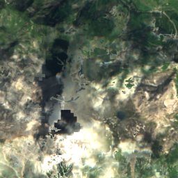
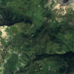
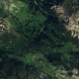
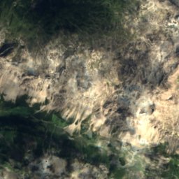
Satellite: Sentinel-2 cloudless 2016 by EOX IT Services GmbH · CC BY 4.0 · Contains modified Copernicus Sentinel data 2016

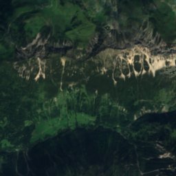
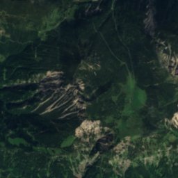
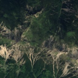
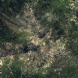
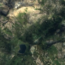
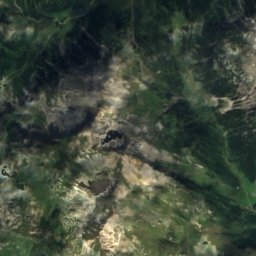
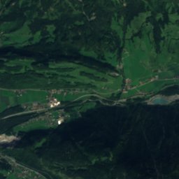
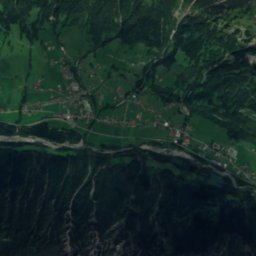
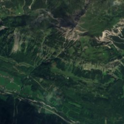
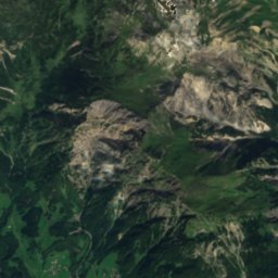
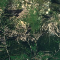
Satellite: Sentinel-2 cloudless 2016 by EOX IT Services GmbH · CC BY 4.0 · Contains modified Copernicus Sentinel data 2016

Summits nearbyMountains of Austria
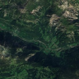
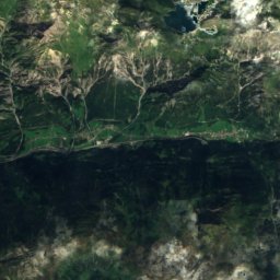
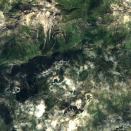
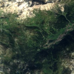
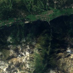
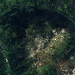
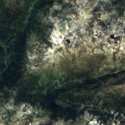
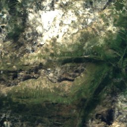
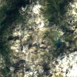
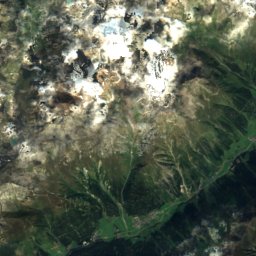
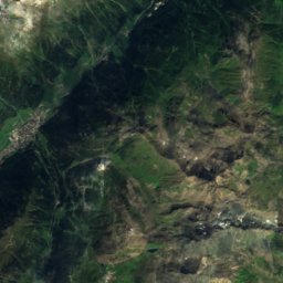
Satellite: Sentinel-2 cloudless 2016 by EOX IT Services GmbH · CC BY 4.0 · Contains modified Copernicus Sentinel data 2016


Photo: User: Bbb at wikivoyage shared · CC BY-SA 1.0 · Wikimedia CommonsReport this photo · linked, not stored
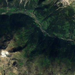
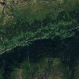
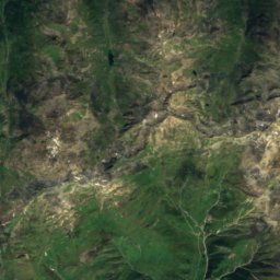
Satellite: Sentinel-2 cloudless 2016 by EOX IT Services GmbH · CC BY 4.0 · Contains modified Copernicus Sentinel data 2016

Stay nearby
Towns close by


Photo: böhringer friedrich · CC BY-SA 3.0 at · Wikimedia CommonsReport this photo · linked, not stored
Klösterle
Vorarlberg · 7.2 km S
12°Oct high
13wet days
35score


Photo: User: Bbb at wikivoyage shared · CC BY-SA 3.0 · Wikimedia CommonsReport this photo · linked, not stored
Zürs
Vorarlberg · 9.1 km E
9°Oct high
13wet days
23score
Around here
Lech and around
Nature

Mountains
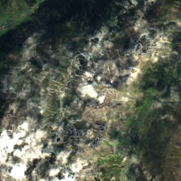
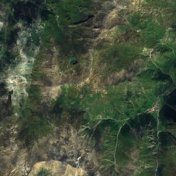
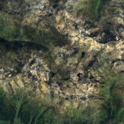
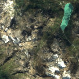
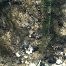
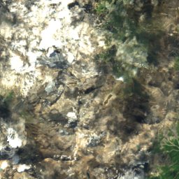
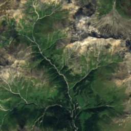
Satellite: Sentinel-2 cloudless 2016 by EOX IT Services GmbH · CC BY 4.0 · Contains modified Copernicus Sentinel data 2016
Fluchthorn
3,397 m · Silvretta Alps

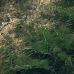
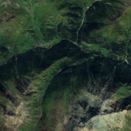
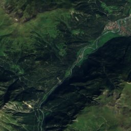
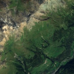
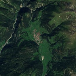
Satellite: Sentinel-2 cloudless 2016 by EOX IT Services GmbH · CC BY 4.0 · Contains modified Copernicus Sentinel data 2016
Piz Tschütta
3,254 m · Samnaun Alps
Heritage


Museums



Satellite: Sentinel-2 cloudless 2016 by EOX IT Services GmbH · CC BY 4.0 · Contains modified Copernicus Sentinel data 2016
Walsermuseum Lech-Tannberg

Photo: Anton-kurt (talk) · CC BY-SA 3.0 at · Wikimedia CommonsReport this photo · linked, not stored

Klostertal-Museum
Local museum