Skip to content
Destinations
Weather & climate
Nature
Outdoors
Culture
Events
Sky & live
Cellonsee
Photo: Naturpuur · CC BY-SA 4.0 · Wikimedia Commons
CellonseeReport this photo · linked, not stored
Rifugio Giovanni e Olinto Marinelli
Photo: JakobZ · CC BY-SA 3.0 · Wikimedia Commons
Rifugio Giovanni e Olinto MarinelliReport this photo · linked, not stored
Rifugio Giovanni e Olinto Marinelli
Wolayersee
Photo: GeKo15 · CC BY-SA 3.0 at · Wikimedia Commons
WolayerseeReport this photo · linked, not stored
Wolayersee
Zollnerseehütte
Photo: Mikmaq · CC BY 3.0 · Wikimedia Commons
ZollnerseehütteReport this photo · linked, not stored
Zollnerseehütte
Coglians
Photo: Alecobbe · Public domain · Wikimedia Commons
CogliansReport this photo · linked, not stored
Coglians
LakeKötschach, Carinthia

Cellonsee

Lake1,204 m elevationBest Jun–Aug
Elevation1,204 mabove sea level
Area–surface
Nearest townKötschach8.3 km
46.62° N, 12.95° EElevation 1,204 mUTC+2 · Central European Summer Time
When to goKötschach · weather score
JanFebMarAprMayJunJulAugSepOctNovDec47October
Best timeJun–Aug
October: high / low14° / 5°
Lake

Cellonsee in brief

Cellonsee is a lake in Kötschach, Carinthia, Austria.

It lies at 1,204 m above sea level.

The nearest town in the atlas is Kötschach, 8.3 km to the NE, where the weather is best in June, July and August.

Kötschach: weather and travel guide

Weather nearby now

Forecast for Kötschach
12°
Sunny now
Wind3 km/h
Humidity39%
Cloud cover0%
Today
22 Oct
13°
4°
4 mm
Fri
23 Oct
13°
2°
1 mm
Sat
24 Oct
9°
1°
9 mm
Sun
25 Oct
10°
-1°
Mon
26 Oct
15°
2°

Model run 00:00 UTCRefreshed several times a day

When to go

The best months around Cellonsee

Climate of Kötschach

Month score in Kötschach

Comfort, dry days and sunshine · out of 100
27
Jan
29
Feb
26
Mar
47
Apr
64
May
65
Jun
65
Jul
66
Aug
65
Sep
47
Oct
23
Nov
25
Dec
Map

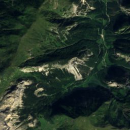
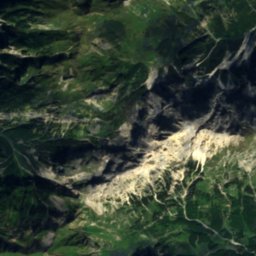
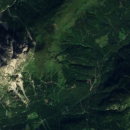
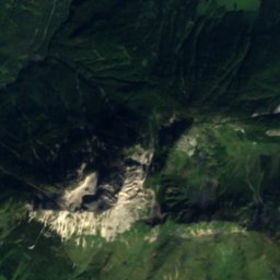
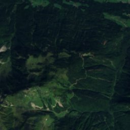
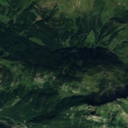
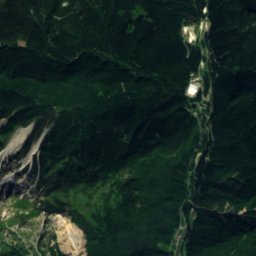
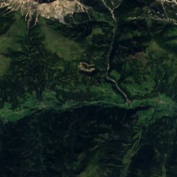
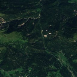
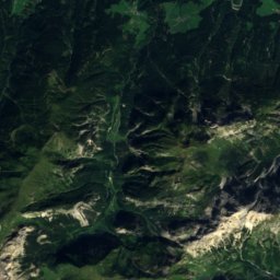
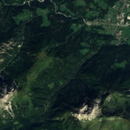
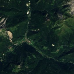
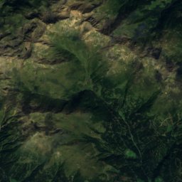
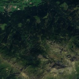
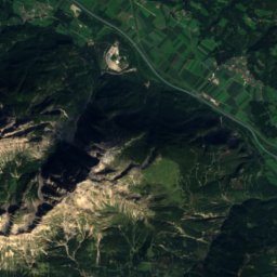
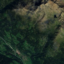
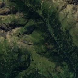
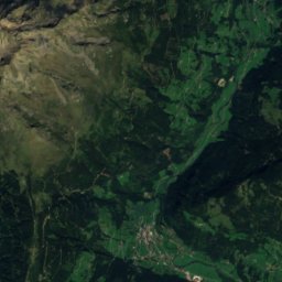
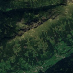
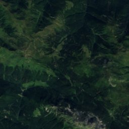
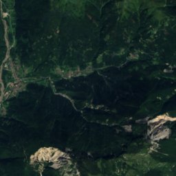
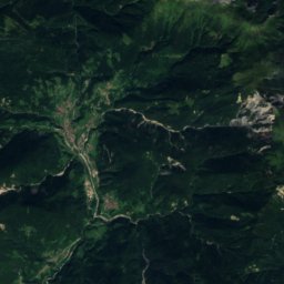
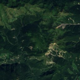
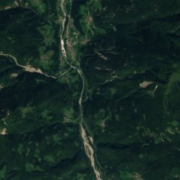
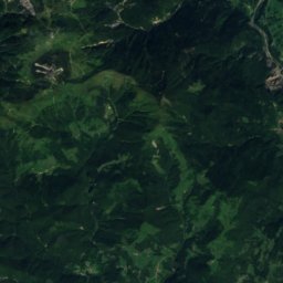
Cellonsee from above

Nature nearbyAll of Austria
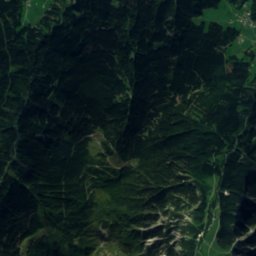
Satellite: Sentinel-2 cloudless 2016 by EOX IT Services GmbH · CC BY 4.0 · Contains modified Copernicus Sentinel data 2016
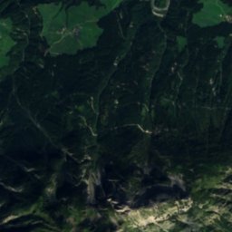
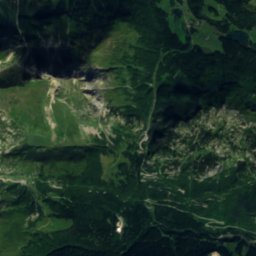
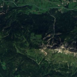
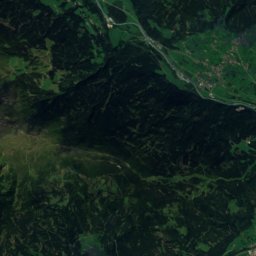
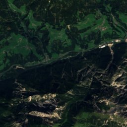
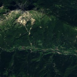
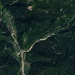
Grünsee, KötschachLake0.9 kmEGrünsee, Kötschach
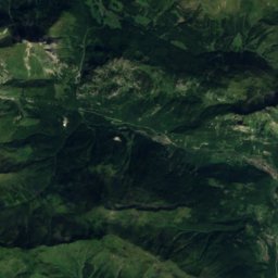
Satellite: Sentinel-2 cloudless 2016 by EOX IT Services GmbH · CC BY 4.0 · Contains modified Copernicus Sentinel data 2016
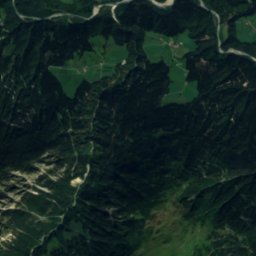
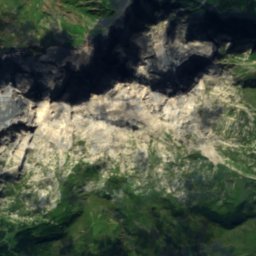
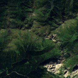
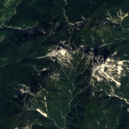
Eiskar GlacierGlacier3.5 kmWEiskar Glacier
Photo: JakobZ · CC BY-SA 3.0 · Wikimedia CommonsReport this photo · linked, not stored
Rifugio Giovanni e Olinto MarinelliMountain hut4.9 kmSWRifugio Giovanni e Olinto Marinelli
Photo: GeKo15 · CC BY-SA 3.0 at · Wikimedia CommonsReport this photo · linked, not stored
WolayerseeLake6.3 kmWWolayersee
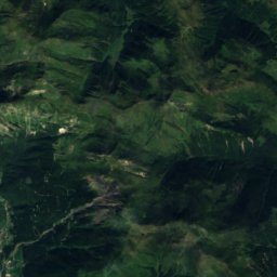
Satellite: Sentinel-2 cloudless 2016 by EOX IT Services GmbH · CC BY 4.0 · Contains modified Copernicus Sentinel data 2016
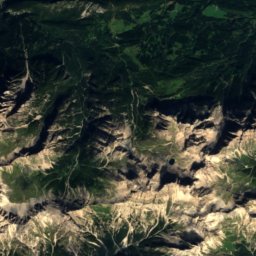
WolayerseehuetteMountain hut6.4 kmWWolayerseehuette
Photo: Mikmaq · CC BY 3.0 · Wikimedia CommonsReport this photo · linked, not stored
ZollnerseehütteMountain hut9.3 kmEZollnerseehütte
Summits nearbyMountains of Austria
Photo: Alecobbe · Public domain · Wikimedia CommonsReport this photo · linked, not stored
Coglians5.3 km W2,780 mJuly 11°Coglians
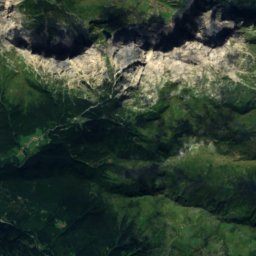
Satellite: Sentinel-2 cloudless 2016 by EOX IT Services GmbH · CC BY 4.0 · Contains modified Copernicus Sentinel data 2016
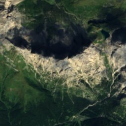
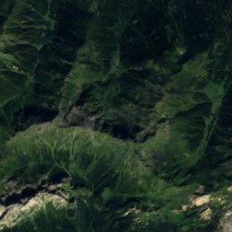
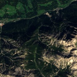
Kellerspitzen4.0 km W2,774 mJuly 11°Kellerspitzen
Satellite: Sentinel-2 cloudless 2016 by EOX IT Services GmbH · CC BY 4.0 · Contains modified Copernicus Sentinel data 2016
Große Sandspitze20 km NW2,770 mJuly 11°Große Sandspitze
Photo: I, Michael Kranewitter · CC BY 2.5 · Wikimedia CommonsReport this photo · linked, not stored
Wilde Sender19 km NW2,738 mJuly 11°Wilde Sender
Satellite: Sentinel-2 cloudless 2016 by EOX IT Services GmbH · CC BY 4.0 · Contains modified Copernicus Sentinel data 2016
Laserzkopf20 km NW2,719 mJuly 11°Laserzkopf
Photo: I, Michael Kranewitter · CC BY 2.5 · Wikimedia CommonsReport this photo · linked, not stored
Spitzkofel23 km NW2,717 mJuly 11°Spitzkofel
Stay nearby

Towns close by

Kötschach
Photo: Neithan90 · Public domain · Wikimedia CommonsReport this photo · linked, not stored

Kötschach

Carinthia · 8.3 km NE
14°Oct high
13wet days
47score
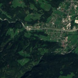
Kötschach
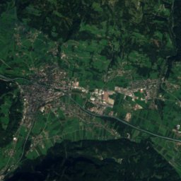
Satellite: Sentinel-2 cloudless 2016 by EOX IT Services GmbH · CC BY 4.0 · Contains modified Copernicus Sentinel data 2016

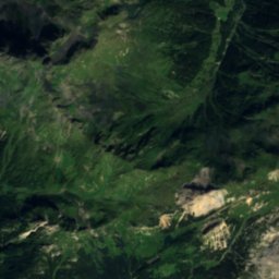
Cercivento

Friuli Venezia Giulia · 11 km S
15°Oct high
13wet days
45score
Cercivento
Ravascletto
Photo: Sebi1 · Public domain · Wikimedia CommonsReport this photo · linked, not stored

Ravascletto

Friuli Venezia Giulia · 11 km S
12°Oct high
13wet days
29score
Ravascletto
Rigolato
Photo: Sebi1 at Italian Wikipedia · Public domain · Wikimedia CommonsReport this photo · linked, not stored

Rigolato

Friuli Venezia Giulia · 11 km SW
14°Oct high
13wet days
41score
Rigolato
Around here

Kötschach and around

Kötschach
Photo: Neithan90 · Public domain · Wikimedia CommonsReport this photo · linked, not stored

Kötschach

Carinthia · Austria
Jun–Augbest months
25°July high
800 maltitude
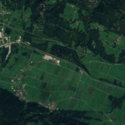
Kötschach

Nature

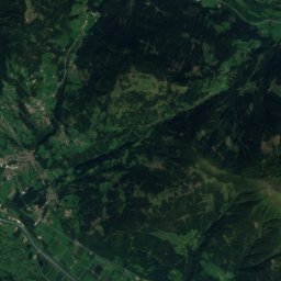
Satellite: Sentinel-2 cloudless 2016 by EOX IT Services GmbH · CC BY 4.0 · Contains modified Copernicus Sentinel data 2016
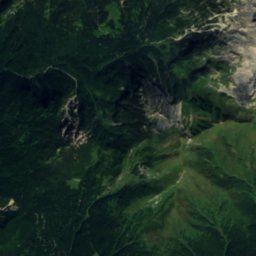
11 km SW

Eiskar Glacier

Glacier · 2,390 m
Eiskar Glacier
Zollnerseehütte
Photo: Mikmaq · CC BY 3.0 · Wikimedia CommonsReport this photo · linked, not stored
9.8 km SE

Zollnerseehütte

Mountain hut · 1,750 m
Zollnerseehütte
Zollnersee
Photo: GeKo15 · CC BY-SA 3.0 at · Wikimedia CommonsReport this photo · linked, not stored
10 km SE

Zollnersee

Lake · 1,780 m
Zollnersee

Mountains

Petzeck
Photo: TheRunnerUp · CC BY-SA 4.0 · Wikimedia CommonsReport this photo · linked, not stored
33 km NW

Petzeck

3,283 m · Schober group
Petzeck
Roter Knopf
Photo: I, Cactus26 · CC BY-SA 3.0 · Wikimedia CommonsReport this photo · linked, not stored
39 km NW

Roter Knopf

3,281 m · Schober group
Roter Knopf
Großer Hornkopf
Photo: Ptolusque, Wikimedia Commons, CC BY-SA 4.0 · CC BY-SA 4.0 · Wikimedia CommonsReport this photo · linked, not stored
36 km NW

Großer Hornkopf

3,251 m · Schober group
Großer Hornkopf

Heritage

Einsiedelkirche (Kötschach)
Photo: Raul de Chissota · Public domain · Wikimedia CommonsReport this photo · linked, not stored
0.7 km W

Einsiedelkirche (Kötschach)

Listed objects in Austria
Einsiedelkirche (Kötschach)
Burgruine Pittersberg
Photo: Raul de Chissota · Public domain · Wikimedia CommonsReport this photo · linked, not stored
2.7 km NW

Burgruine Pittersberg

Listed objects in Austria · 1252
Burgruine Pittersberg
Schloss Mandorf, Kötschach-Mauthen
Photo: Johann Jaritz · CC BY-SA 3.0 at · Wikimedia CommonsReport this photo · linked, not stored
1.4 km SE

Schloss Mandorf, Kötschach-Mauthen

Listed objects in Austria
Schloss Mandorf, Kötschach-Mauthen

Museums

Satellite: Sentinel-2 cloudless 2016 by EOX IT Services GmbH · CC BY 4.0 · Contains modified Copernicus Sentinel data 2016
1.2 km SW

Museum 1915–18

Museum 1915–18
Open-air museum Freikofel
Photo: Hangman'sDeath · CC0 · Wikimedia CommonsReport this photo · linked, not stored
9.3 km S

Open-air museum Freikofel

Open-air museum
Open-air museum Freikofel
Brauchtumsmuseum, Umfahrerhaus
Photo: JJ55 · Public domain · Wikimedia CommonsReport this photo · linked, not stored
7.9 km N

Brauchtumsmuseum, Umfahrerhaus

Brauchtumsmuseum, Umfahrerhaus