
Photo: Bwag at German Wikipedia · CC BY-SA 3.0 · Wikimedia Commons
AubadReport this photo · linked, not stored
AubadReport this photo · linked, not stored

Photo: Lukas Raich · CC BY-SA 3.0 · Wikimedia Commons
Große TullnReport this photo · linked, not stored
Große TullnGroße TullnReport this photo · linked, not stored

Photo: Martin Leisch · CC BY-SA 4.0 · Wikimedia Commons
SchmidaReport this photo · linked, not stored
SchmidaSchmidaReport this photo · linked, not stored

Photo: Thomas Dietmaier · CC BY-SA 4.0 · Wikimedia Commons
Kleine TullnReport this photo · linked, not stored
Kleine TullnKleine TullnReport this photo · linked, not stored

Photo: H.Seldon · Public domain · Wikimedia Commons
GöllersbachReport this photo · linked, not stored
GöllersbachGöllersbachReport this photo · linked, not stored
LakeTulln an der Donau, Lower Austria
Aubad
Lake173 m elevationBest Apr · Jun · Sep
Elevation173 mabove sea level
Area0.1 km²surface
Nearest townTulln an der Donau1.4 km
48.33° N, 16.08° EElevation 173 mUTC+2 · Central European Summer Time
When to goTulln an der Donau · weather score
Best timeApr · Jun · Sep
October: high / low15° / 7°
Lake
Aubad in brief
Aubad is a lake in Tulln an der Donau, Lower Austria, Austria.
It lies at 173 m above sea level and covers about 0.1 km².
The nearest town in the atlas is Tulln an der Donau, 1.4 km to the W, where the weather is best in April, June and September.
Weather nearby now
Forecast for Tulln an der Donau13°
Partly cloudy now
Today
22 Oct
13°
7°
2 mm
Fri
23 Oct
17°
4°
Sat
24 Oct
12°
6°
1 mm
Sun
25 Oct
13°
5°
3 mm
Mon
26 Oct
14°
8°
Model run 00:00 UTCRefreshed several times a day
Map
Aubad from above
Nature nearbyAll of Austria


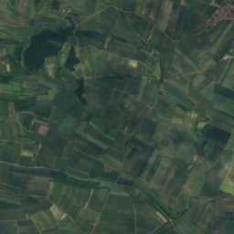
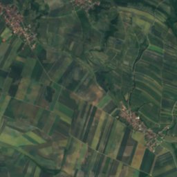
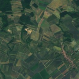
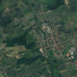
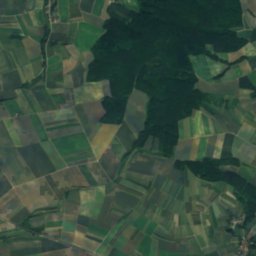
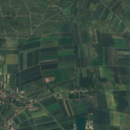
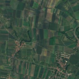
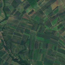
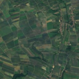
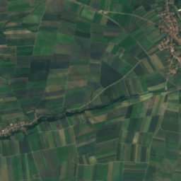
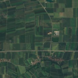
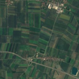
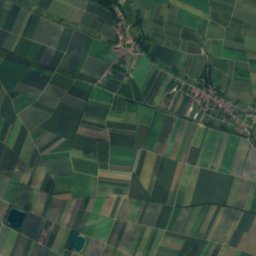
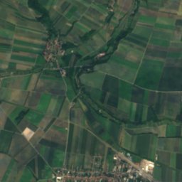
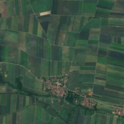
Satellite: Sentinel-2 cloudless 2016 by EOX IT Services GmbH · CC BY 4.0 · Contains modified Copernicus Sentinel data 2016
Summits nearbyMountains of Austria
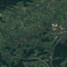
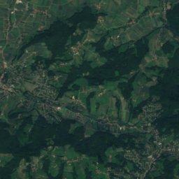
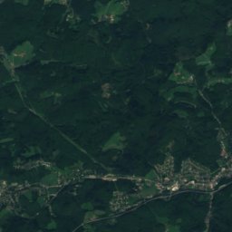
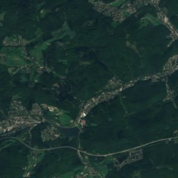
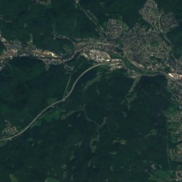
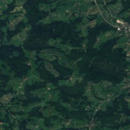
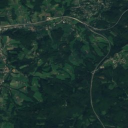
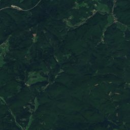
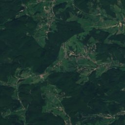
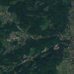
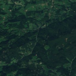
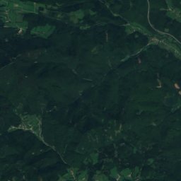
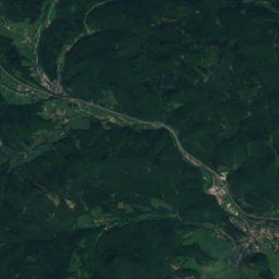
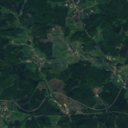
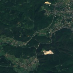
Satellite: Sentinel-2 cloudless 2016 by EOX IT Services GmbH · CC BY 4.0 · Contains modified Copernicus Sentinel data 2016


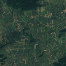
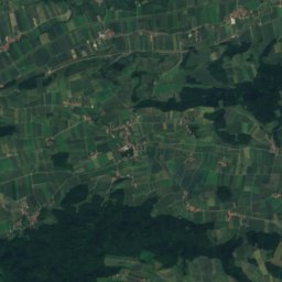
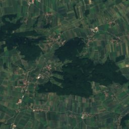
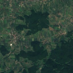
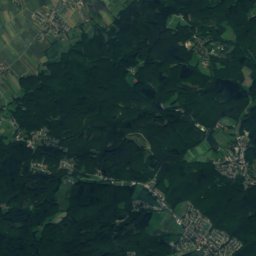
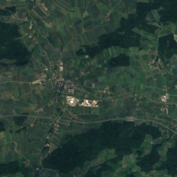
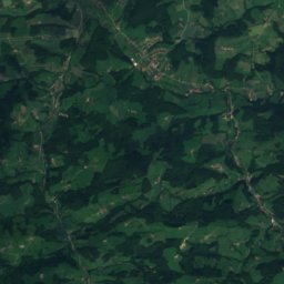
Satellite: Sentinel-2 cloudless 2016 by EOX IT Services GmbH · CC BY 4.0 · Contains modified Copernicus Sentinel data 2016
Satellite: Sentinel-2 cloudless 2016 by EOX IT Services GmbH · CC BY 4.0 · Contains modified Copernicus Sentinel data 2016
Satellite: Sentinel-2 cloudless 2016 by EOX IT Services GmbH · CC BY 4.0 · Contains modified Copernicus Sentinel data 2016
Stay nearby
Towns close by


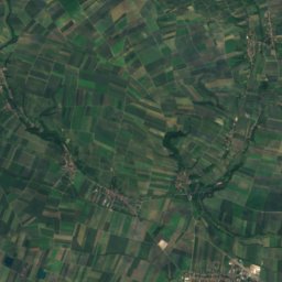
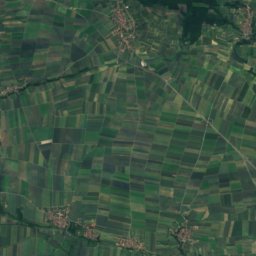
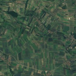
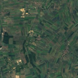
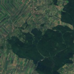
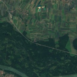
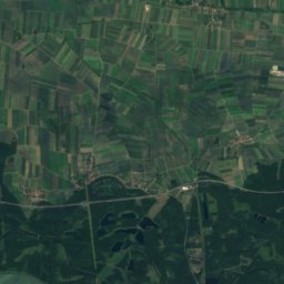
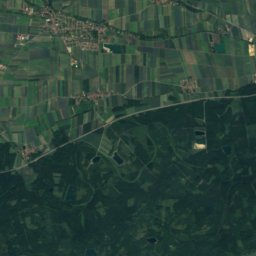
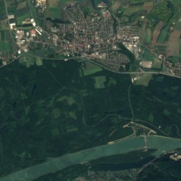
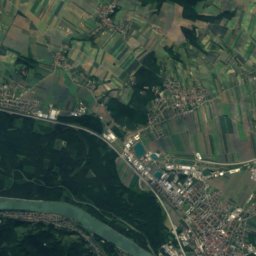
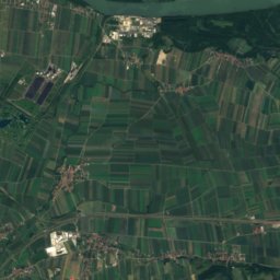
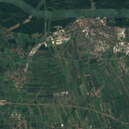
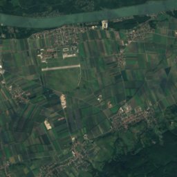
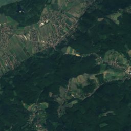
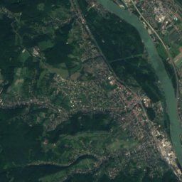
Satellite: Sentinel-2 cloudless 2016 by EOX IT Services GmbH · CC BY 4.0 · Contains modified Copernicus Sentinel data 2016
Muckendorf an der Donau
Lower Austria · 5.8 km E
15°Oct high
9wet days
60score
Around here
Tulln an der Donau and around

Tulln an der Donau
Lower Austria · Austria
Apr · Jun · Sepbest months
27°July high
175 maltitude
Nature
Satellite: Sentinel-2 cloudless 2016 by EOX IT Services GmbH · CC BY 4.0 · Contains modified Copernicus Sentinel data 2016
Gießgraben
River
Mountains


Heritage


Museums




Satellite: Sentinel-2 cloudless 2016 by EOX IT Services GmbH · CC BY 4.0 · Contains modified Copernicus Sentinel data 2016