Skip to content
Destinations
Weather & climate
Nature
Outdoors
Culture
Events
Sky & live
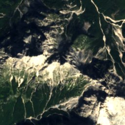
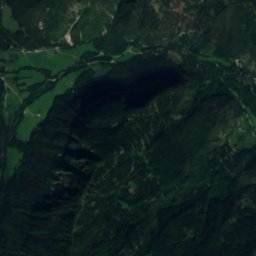
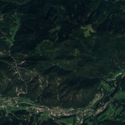
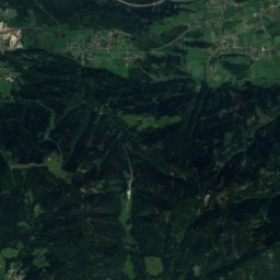
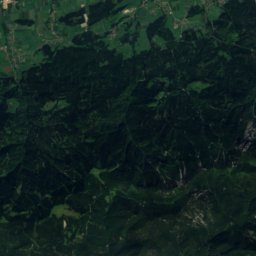
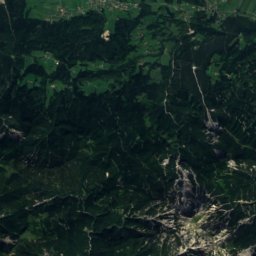
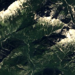
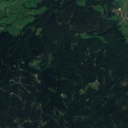
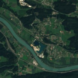
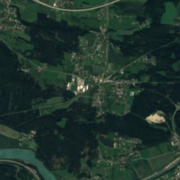
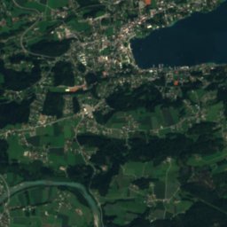
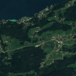
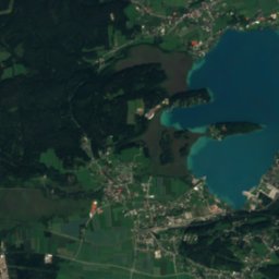
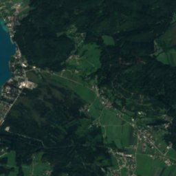
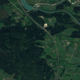
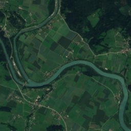
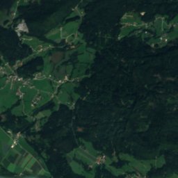
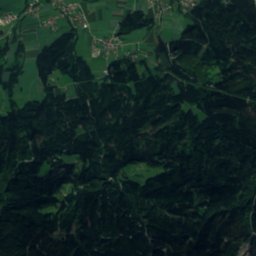
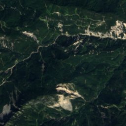
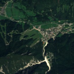
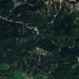
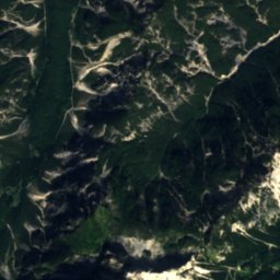
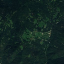
Satellite: Sentinel-2 cloudless 2016 by EOX IT Services GmbH · CC BY 4.0 · Contains modified Copernicus Sentinel data 2016
Hütte ober der Arichwand
Photo: Herzi Pinki · CC BY-SA 3.0 · Wikimedia Commons
Hütte ober der ArichwandReport this photo · linked, not stored
Hütte ober der Arichwand
Aichwaldsee
Photo: Herzi Pinki · CC BY-SA 3.0 · Wikimedia Commons
AichwaldseeReport this photo · linked, not stored
Aichwaldsee
Faaker-See-Insel
Photo: Carsten Steger · CC BY-SA 4.0 · Wikimedia Commons
Faaker-See-InselReport this photo · linked, not stored
Faaker-See-Insel
Faaker See
Photo: Carsten Steger · CC BY-SA 4.0 · Wikimedia Commons
Faaker SeeReport this photo · linked, not stored
Faaker See
Mountain hutLedenitzen, Carinthia

Annahütte

Mountain hutBest Jul–Sep
Elevation–above sea level
Area–surface
Nearest townBelca4.1 km
46.51° N, 13.94° EUTC+2 · Central European Summer Time
When to goLedenitzen · weather score
JanFebMarAprMayJunJulAugSepOctNovDec47October
Best timeMay–Jun · Sep
October: high / low14° / 5°
Mountain hut

Annahütte in brief

Annahütte is a mountain hut in Ledenitzen, Carinthia, Austria.

The nearest town in the atlas is Belca, 4.1 km to the SW, where the weather is best in July, August and September.

Belca: weather and travel guide

Weather nearby now

Forecast for Belca
11°
Sunny now
Wind4 km/h
Humidity53%
Cloud cover0%
Today
22 Oct
11°
3°
7 mm
Fri
23 Oct
13°
3°
1 mm
Sat
24 Oct
7°
0°
4 mm
Sun
25 Oct
10°
-1°
Mon
26 Oct
14°
3°

Model run 00:00 UTCRefreshed several times a day

When to go

The best months around Annahütte

Climate of Belca

Month score in Belca

Comfort, dry days and sunshine · out of 100
34
Jan
32
Feb
28
Mar
42
Apr
62
May
63
Jun
66
Jul
65
Aug
66
Sep
40
Oct
23
Nov
29
Dec
Map

Annahütte from above

Nature nearbyAll of Austria
Photo: Herzi Pinki · CC BY-SA 3.0 · Wikimedia CommonsReport this photo · linked, not stored
Hütte ober der ArichwandMountain hut3.9 kmNEHütte ober der Arichwand
Photo: Herzi Pinki · CC BY-SA 3.0 · Wikimedia CommonsReport this photo · linked, not stored
AichwaldseeLake4.8 kmNAichwaldsee
Photo: Carsten Steger · CC BY-SA 4.0 · Wikimedia CommonsReport this photo · linked, not stored
Faaker-See-InselIsland7.1 kmNFaaker-See-Insel
Photo: Carsten Steger · CC BY-SA 4.0 · Wikimedia CommonsReport this photo · linked, not stored
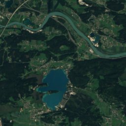
Faaker SeeLake7.3 kmNFaaker See
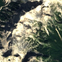
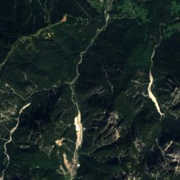
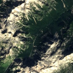
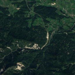
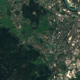
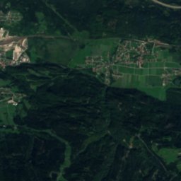
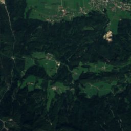
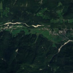
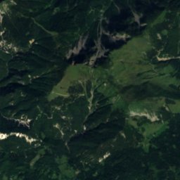
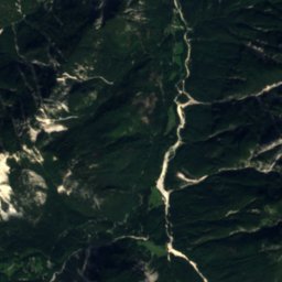
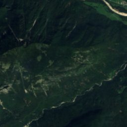
Satellite: Sentinel-2 cloudless 2016 by EOX IT Services GmbH · CC BY 4.0 · Contains modified Copernicus Sentinel data 2016
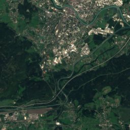
Peričnik FallsWaterfall8.6 kmSPeričnik Falls
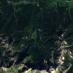
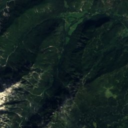
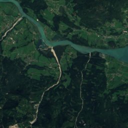
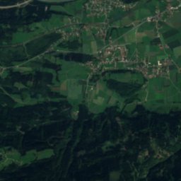
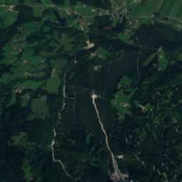
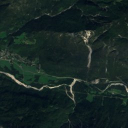
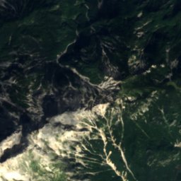
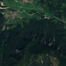
Satellite: Sentinel-2 cloudless 2016 by EOX IT Services GmbH · CC BY 4.0 · Contains modified Copernicus Sentinel data 2016
Koča pri PeričnikuMountain hut8.8 kmSKoča pri Peričniku
Summits nearbyMountains of Austria
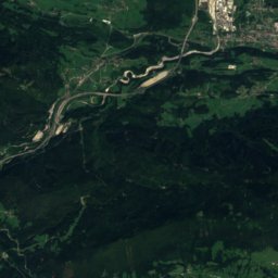
Photo: Andrej Jakobčič · CC BY-SA 3.0 · Wikimedia CommonsReport this photo · linked, not stored
Triglav17 km SW2,864 mJuly 9°Triglav
Photo: Žiga · Public domain · Wikimedia CommonsReport this photo · linked, not stored
Škrlatica13 km SW2,740 mJuly 10°Škrlatica
Photo: kallerna · CC BY-SA 4.0 · Wikimedia CommonsReport this photo · linked, not stored
Mangart23 km W2,678 mJuly 11°Mangart
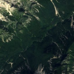
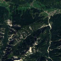
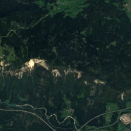
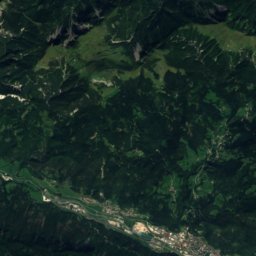
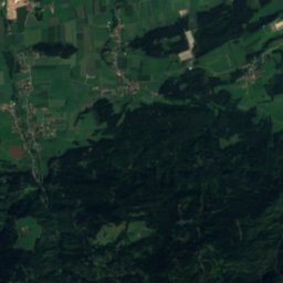
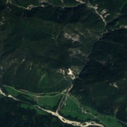
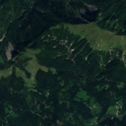
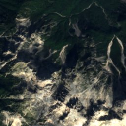
Satellite: Sentinel-2 cloudless 2016 by EOX IT Services GmbH · CC BY 4.0 · Contains modified Copernicus Sentinel data 2016
Visoki Rokav12 km SW2,646 mJuly 10°Visoki Rokav
Photo: Frerk Meyer from Buchholz in der Nordheide, Niedersachsen · CC BY-SA 2.0 · Wikimedia CommonsReport this photo · linked, not stored
Jalovec22 km SW2,645 mJuly 10°Jalovec
Photo: Sl-Ziga · CC BY-SA 3.0 · Wikimedia CommonsReport this photo · linked, not stored
Velika Ponca12 km SW2,602 mJuly 12°Velika Ponca
Stay nearby

Towns close by

Belca
Photo: Daniel Thornton · CC BY 2.0 · Wikimedia CommonsReport this photo · linked, not stored

Belca

Municipality of Kranjska Gora · 4.1 km SW
13°Oct high
11wet days
40score
Belca
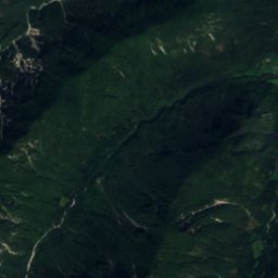
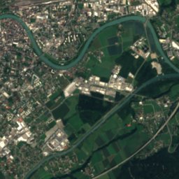
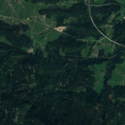
Satellite: Sentinel-2 cloudless 2016 by EOX IT Services GmbH · CC BY 4.0 · Contains modified Copernicus Sentinel data 2016

Dovje

Municipality of Kranjska Gora · 5.6 km SE
12°Oct high
11wet days
35score
Dovje
Ledenitzen
Photo: Freya design · CC BY-SA 3.0 at · Wikimedia CommonsReport this photo · linked, not stored

Ledenitzen

Carinthia · 6.3 km N
14°Oct high
12wet days
47score
Ledenitzen
Faak am See
Photo: Johann Jaritz / CC BY-SA 4.0 · CC BY-SA 4.0 · Wikimedia CommonsReport this photo · linked, not stored

Faak am See

Carinthia · 6.5 km N
15°Oct high
12wet days
49score
Faak am See
Around here

Ledenitzen and around

Ledenitzen
Photo: Freya design · CC BY-SA 3.0 at · Wikimedia CommonsReport this photo · linked, not stored

Ledenitzen

Carinthia · Austria
May–Jun · Sepbest months
26°July high
586 maltitude
Ledenitzen

Nature

Lake Ossiach
Photo: Carsten Steger · CC BY-SA 4.0 · Wikimedia CommonsReport this photo · linked, not stored
11 km N

Lake Ossiach

Lake · 501 m
Lake Ossiach
Faaker See
Photo: Carsten Steger · CC BY-SA 4.0 · Wikimedia CommonsReport this photo · linked, not stored
3.1 km NW

Faaker See

Lake · 554 m
Faaker See
Gail
Photo: JJ55 · CC BY-SA 3.0 · Wikimedia CommonsReport this photo · linked, not stored
7.2 km NW

Gail

River
Gail

Mountains

Triglav
Photo: Andrej Jakobčič · CC BY-SA 3.0 · Wikimedia CommonsReport this photo · linked, not stored
23 km SW

Triglav

2,864 m · Triglav Group
Triglav
Škrlatica
Photo: Žiga · Public domain · Wikimedia CommonsReport this photo · linked, not stored
19 km SW

Škrlatica

2,740 m · Škrlatica Group
Škrlatica
Mangart
Photo: kallerna · CC BY-SA 4.0 · Wikimedia CommonsReport this photo · linked, not stored
27 km SW

Mangart

2,678 m
Mangart

Heritage

Pfarrkirche Petschnitzen
Photo: Johann Jaritz · CC BY-SA 3.0 · Wikimedia CommonsReport this photo · linked, not stored
1.0 km NW

Pfarrkirche Petschnitzen

Listed objects in Austria
Pfarrkirche Petschnitzen
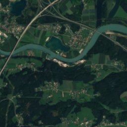
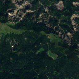
Satellite: Sentinel-2 cloudless 2016 by EOX IT Services GmbH · CC BY 4.0 · Contains modified Copernicus Sentinel data 2016
2.7 km E

Filialkirche St. Christoph am Hum

Listed objects in Austria
Filialkirche St. Christoph am Hum
Pfarrkirche Latschach
Photo: Johann Jaritz / CC BY-SA 4.0 · CC BY-SA 4.0 · Wikimedia CommonsReport this photo · linked, not stored
2.8 km SW

Pfarrkirche Latschach

Listed objects in Austria
Pfarrkirche Latschach

Museums

Slovenian Alpine Museum
Photo: Bob Ramsak · CC BY 4.0 · Wikimedia CommonsReport this photo · linked, not stored
12 km S

Slovenian Alpine Museum

Slovenian Alpine Museum
City Museum Villach
Photo: Johann Jaritz / CC BY-SA 4.0 · CC BY-SA 4.0 · Wikimedia CommonsReport this photo · linked, not stored
10 km NW

City Museum Villach

City Museum Villach
Keltenwelt Frög
Photo: Johann Jaritz · CC BY-SA 3.0 at · Wikimedia CommonsReport this photo · linked, not stored
4.8 km E

Keltenwelt Frög

Archaeological park
Keltenwelt Frög