Skip to content
Destinations
Weather & climate
Nature
Outdoors
Culture
Events
Sky & live
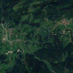
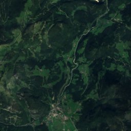
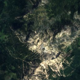
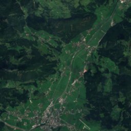
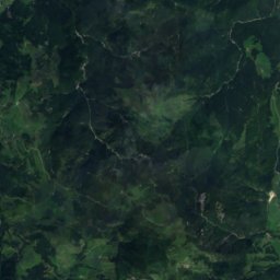
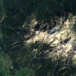
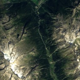
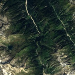
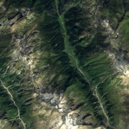
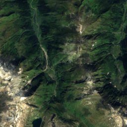
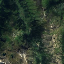
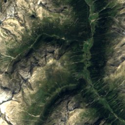
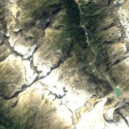
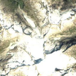
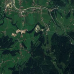
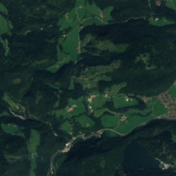
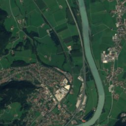
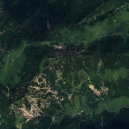
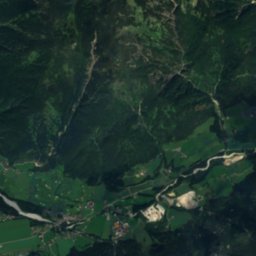
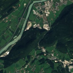
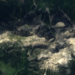
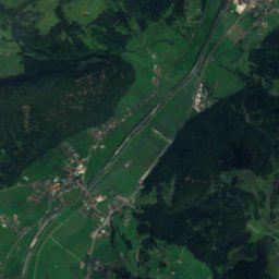
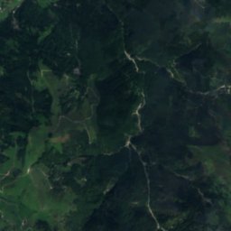
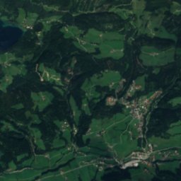
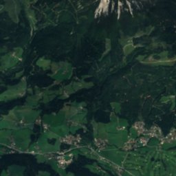
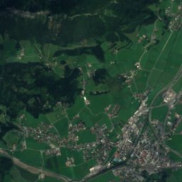
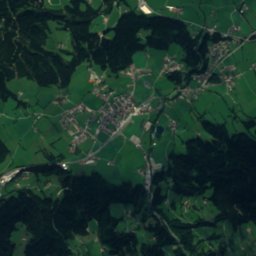
Satellite: Sentinel-2 cloudless 2016 by EOX IT Services GmbH · CC BY 4.0 · Contains modified Copernicus Sentinel data 2016
Gaudeamus Hut
Photo: James t. · CC BY-SA 4.0 · Wikimedia Commons
Gaudeamus HutReport this photo · linked, not stored
Gaudeamus Hut
Schleierfall, Going am Wilden Kaiser
Photo: Ironbernietyrol at de.wikipedia · CC BY-SA 3.0 · Wikimedia Commons
Schleierfall, Going am Wilden KaiserReport this photo · linked, not stored
Schleierfall, Going am Wilden Kaiser
Fritz Pflaum Hut
Photo: Luidger · CC BY 3.0 · Wikimedia Commons
Fritz Pflaum HutReport this photo · linked, not stored
Fritz Pflaum Hut
Grutten Hut
Photo: Steffen 962 · CC0 · Wikimedia Commons
Grutten HutReport this photo · linked, not stored
Grutten Hut
Mountain hutGoing am Wilden Kaiser, Tyrol

Ackerl Hut

Mountain hut1,455 m elevationBest May · Jul–Aug
Elevation1,455 mabove sea level
Area–surface
Nearest townGoing am Wilden Kaiser4.1 km
47.55° N, 12.34° EElevation 1,455 mUTC+2 · Central European Summer Time
When to goGoing am Wilden Kaiser · weather score
JanFebMarAprMayJunJulAugSepOctNovDec46October
Best timeMay · Jul–Aug
October: high / low14° / 4°
Mountain hut

Ackerl Hut in brief

Ackerl Hut is a mountain hut in Going am Wilden Kaiser, Tyrol, Austria — building.

It lies at 1,455 m above sea level.

The nearest town in the atlas is Going am Wilden Kaiser, 4.1 km to the S, where the weather is best in May, July and August.

Going am Wilden Kaiser: weather and travel guide

Weather nearby now

Forecast for Going am Wilden Kaiser
11°
Sunny now
Wind7 km/h
Humidity49%
Cloud cover0%
Today
22 Oct
12°
1°
5 mm
Fri
23 Oct
15°
-1°
1 mm
Sat
24 Oct
9°
-1°
5 mm
Sun
25 Oct
11°
0°
4 mm
Mon
26 Oct
13°
7°
1 mm

Model run 00:00 UTCRefreshed several times a day

When to go

The best months around Ackerl Hut

Climate of Going am Wilden Kaiser

Month score in Going am Wilden Kaiser

Comfort, dry days and sunshine · out of 100
21
Jan
25
Feb
20
Mar
49
Apr
64
May
64
Jun
66
Jul
65
Aug
64
Sep
46
Oct
27
Nov
20
Dec
Map

Ackerl Hut from above

Nature nearbyAll of Austria
Photo: James t. · CC BY-SA 4.0 · Wikimedia CommonsReport this photo · linked, not stored
Gaudeamus HutMountain hut1.2 kmWGaudeamus Hut
Photo: Ironbernietyrol at de.wikipedia · CC BY-SA 3.0 · Wikimedia CommonsReport this photo · linked, not stored
Schleierfall, Going am Wilden KaiserWaterfall1.7 kmESchleierfall, Going am Wilden Kaiser
Photo: Luidger · CC BY 3.0 · Wikimedia CommonsReport this photo · linked, not stored
Fritz Pflaum HutMountain hut1.7 kmNFritz Pflaum Hut
Photo: Steffen 962 · CC0 · Wikimedia CommonsReport this photo · linked, not stored
Grutten HutMountain hut2.3 kmWGrutten Hut
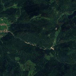
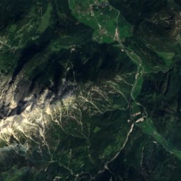
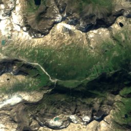
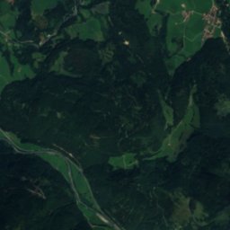
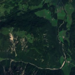
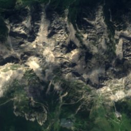
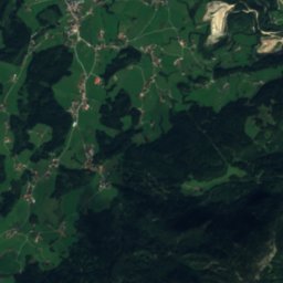
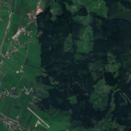
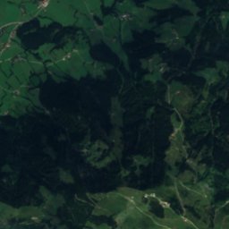
Satellite: Sentinel-2 cloudless 2016 by EOX IT Services GmbH · CC BY 4.0 · Contains modified Copernicus Sentinel data 2016
BabenstuberhütteMountain hut3.2 kmNWBabenstuberhütte
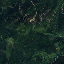
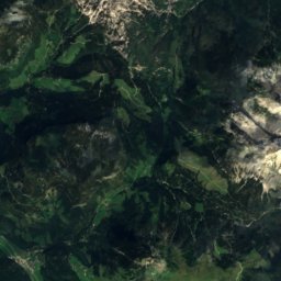
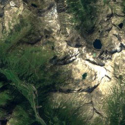
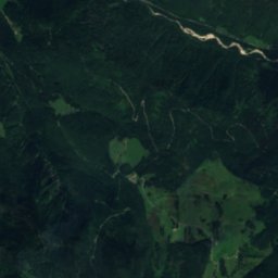
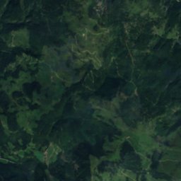
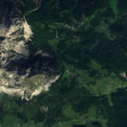
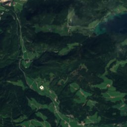
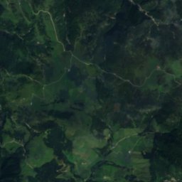
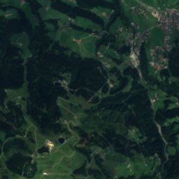
Satellite: Sentinel-2 cloudless 2016 by EOX IT Services GmbH · CC BY 4.0 · Contains modified Copernicus Sentinel data 2016
StripsenjochhausMountain hut3.8 kmNWStripsenjochhaus
Summits nearbyMountains of Austria
Photo: Jörg Braukmann · CC BY-SA 3.0 · Wikimedia CommonsReport this photo · linked, not stored
Großes Ochsenhorn24 km E2,511 mJuly 12°Großes Ochsenhorn
Photo: Jörg Braukmann · CC BY-SA 3.0 · Wikimedia CommonsReport this photo · linked, not stored
Mitterhorn, Tyrol22 km E2,506 mJuly 12°Mitterhorn, Tyrol
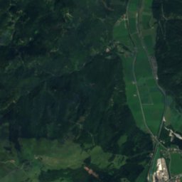
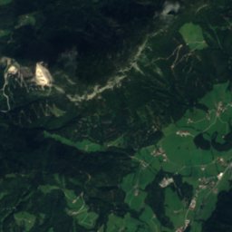
Satellite: Sentinel-2 cloudless 2016 by EOX IT Services GmbH · CC BY 4.0 · Contains modified Copernicus Sentinel data 2016
Breithorn, Salzburg23 km E2,415 mJuly 13°Breithorn, Salzburg
Satellite: Sentinel-2 cloudless 2016 by EOX IT Services GmbH · CC BY 4.0 · Contains modified Copernicus Sentinel data 2016
Rothorn, Tyrol20 km E2,404 mJuly 13°Rothorn, Tyrol
Photo: Regs · Public domain · Wikimedia CommonsReport this photo · linked, not stored
Großer Rettenstein24 km S2,366 mJuly 13°Großer Rettenstein
Photo: Unknown author · CC BY-SA 3.0 · Wikimedia CommonsReport this photo · linked, not stored
Ellmauer Halt3.2 km NW2,344 mJuly 14°Ellmauer Halt
Stay nearby

Towns close by

Going am Wilden Kaiser
Photo: Keith Ruffles · CC BY 3.0 · Wikimedia CommonsReport this photo · linked, not stored

Going am Wilden Kaiser

Tyrol · 4.1 km S
14°Oct high
13wet days
46score
Going am Wilden Kaiser
Ellmau
Photo: Deborah Sulovsky · CC BY-SA 4.0 · Wikimedia CommonsReport this photo · linked, not stored

Ellmau

Tyrol · 5.0 km SW
14°Oct high
13wet days
45score
Ellmau
Oberndorf in Tirol
Photo: Michielverbeek · CC BY-SA 4.0 · Wikimedia CommonsReport this photo · linked, not stored

Oberndorf in Tirol

Tyrol · 6.3 km SE
15°Oct high
13wet days
51score
Oberndorf in Tirol
St. Johann in Tirol
Photo: HellasX · FAL · Wikimedia CommonsReport this photo · linked, not stored

St. Johann in Tirol

Tyrol · 6.8 km SE
15°Oct high
13wet days
51score
St. Johann in Tirol
Around here

Going am Wilden Kaiser and around

Going am Wilden Kaiser
Photo: Keith Ruffles · CC BY 3.0 · Wikimedia CommonsReport this photo · linked, not stored

Going am Wilden Kaiser

Tyrol · Austria
May · Jul–Augbest months
24°July high
765 maltitude
Going am Wilden Kaiser

Nature

Hintersteiner See
Photo: Carsten Steger · CC BY-SA 4.0 · Wikimedia CommonsReport this photo · linked, not stored
9.4 km W

Hintersteiner See

Lake · 882 m
Hintersteiner See
Schwarzsee (Kitzbühel)
Photo: Rufus46 · CC BY-SA 4.0 · Wikimedia CommonsReport this photo · linked, not stored
6.8 km SE

Schwarzsee (Kitzbühel)

Lake · 762 m
Schwarzsee (Kitzbühel)
Schleierfall, Going am Wilden Kaiser
Photo: Ironbernietyrol at de.wikipedia · CC BY-SA 3.0 · Wikimedia CommonsReport this photo · linked, not stored
4.3 km NE

Schleierfall, Going am Wilden Kaiser

Waterfall
Schleierfall, Going am Wilden Kaiser

Mountains

Satellite: Sentinel-2 cloudless 2016 by EOX IT Services GmbH · CC BY 4.0 · Contains modified Copernicus Sentinel data 2016
40 km S

Gamsmutter

3,091 m · Venediger Group
Gamsmutter
Satellite: Sentinel-2 cloudless 2016 by EOX IT Services GmbH · CC BY 4.0 · Contains modified Copernicus Sentinel data 2016
39 km S

Habachspitze

3,063 m · Venediger Group
Habachspitze
Blessachkopf
Photo: Michael Burgholzer · CC BY-SA 4.0 · Wikimedia CommonsReport this photo · linked, not stored
37 km S

Blessachkopf

3,050 m · Venediger Group
Blessachkopf

Heritage

Pfarrkirche Heilig Kreuz
Photo: Leitzsche · CC0 · Wikimedia CommonsReport this photo · linked, not stored
0.2 km W

Pfarrkirche Heilig Kreuz

Listed objects in Austria
Pfarrkirche Heilig Kreuz
Sankt Michael, Ellmau
Photo: Rufus46 · CC BY-SA 4.0 · Wikimedia CommonsReport this photo · linked, not stored
2.3 km W

Sankt Michael, Ellmau

Listed objects in Austria
Sankt Michael, Ellmau
Kufstein Fortress
Photo: Rufus46 · CC BY-SA 3.0 · Wikimedia CommonsReport this photo · linked, not stored
14 km NW

Kufstein Fortress

Listed objects in Austria · 1205
Kufstein Fortress

Museums

Heimatmuseum Ellmau
Photo: Braveheart · CC BY-SA 4.0 · Wikimedia CommonsReport this photo · linked, not stored
3.3 km W

Heimatmuseum Ellmau

Local museum
Heimatmuseum Ellmau
Museum Kitzbühel
Photo: Feel free to use my photos, but please mention me as the author and if you want · CC BY-SA 3.0 at · Wikimedia CommonsReport this photo · linked, not stored
8.8 km SE

Museum Kitzbühel

Museum Kitzbühel
Industrial Museum Blaahaus
Photo: Renardo la vulpo · CC BY-SA 4.0 · Wikimedia CommonsReport this photo · linked, not stored
15 km NW

Industrial Museum Blaahaus

Industry museum · 1996
Industrial Museum Blaahaus